The best mountain hikes around Obersee
4.8
(82)
676
hikers
36
hikes
Mountaineering around Obersee, nestled within Germany's Bavarian Alps, offers access to a dramatic alpine landscape characterized by towering peaks and pristine natural features. The region features rugged mountain scenery, including the imposing Watzmann massif, and is home to Germany's highest waterfall, the Röthbach Waterfall. Mountaineering routes often traverse challenging terrain with significant elevation changes, providing a demanding experience for outdoor enthusiasts. The clear, emerald waters of Obersee itself provide a striking contrast to the surrounding cliffs and lush forests.
Best…
Last updated: May 11, 2026
5.0
(12)
69
hikers
Hard mountaineering route. Good fitness required. Sure-footedness, sturdy shoes and alpine experience required.
4.3
(9)
27
hikers
12.0km
04:41
680m
680m
Moderate mountaineering route. Good fitness required. Mostly accessible paths. Sure-footedness required.

Sign up for free
5.0
(4)
21
hikers
Moderate mountaineering route. Good fitness required. Mostly accessible paths. Sure-footedness required.
5
hikers
Moderate mountaineering route. Great for any fitness level. Mostly accessible paths. Sure-footedness required.
5.0
(4)
21
hikers
Moderate mountaineering route. Good fitness required. Mostly accessible paths. Sure-footedness required.
Get access to more routes and recommendations from other explorers.
Sign up for free
Already have an account?
Our route recommendations are based on thousands of hikes, rides, and runs completed by other people on komoot.
Start today with a free account
Your next adventure awaits.
Login or Signup

Tips from the Community

A more beautiful, less crowded peak than the Rotwand. Unfortunately, there's no cross at the top.
0
0
Unfortunately the summit no longer has a summit cross, but it is still nice to hike to and not as crowded as the red wall.
0
0

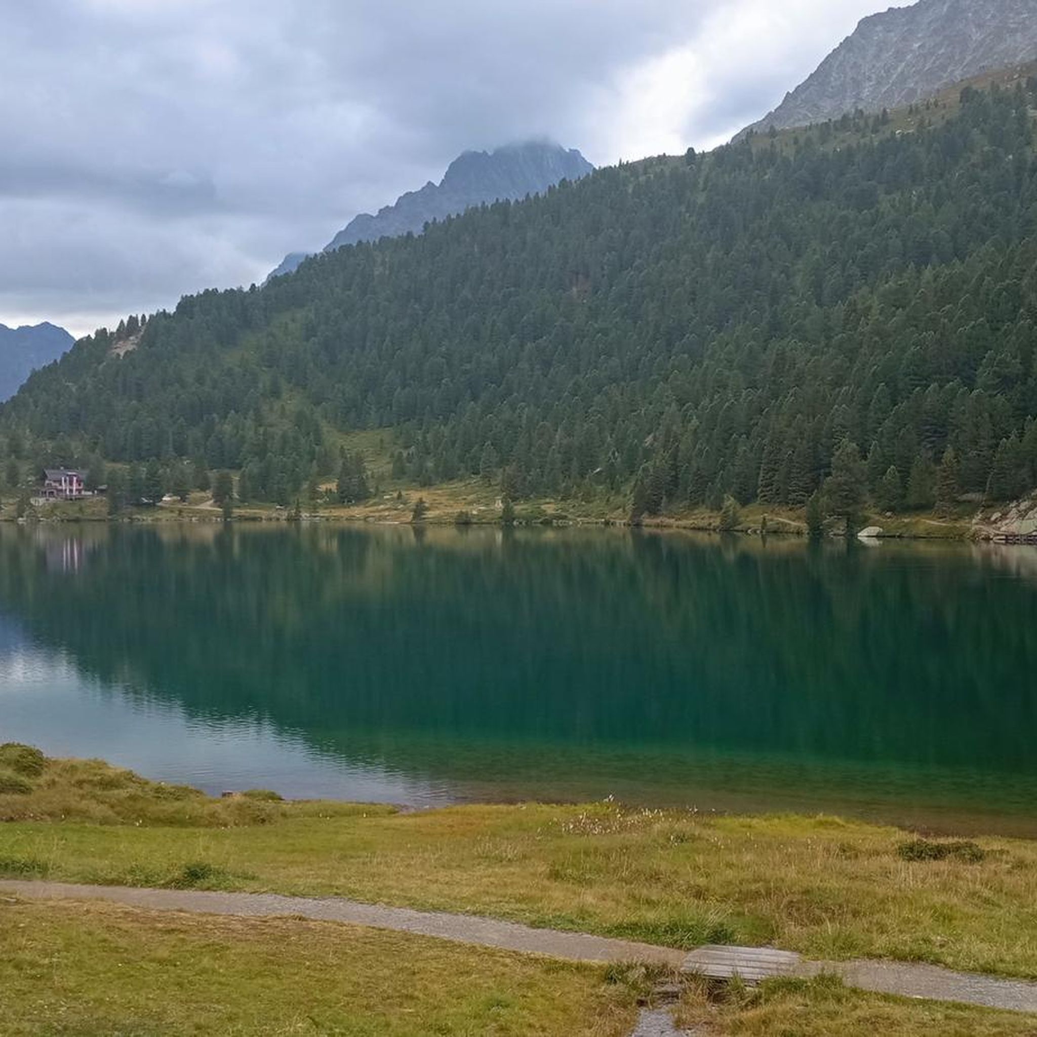
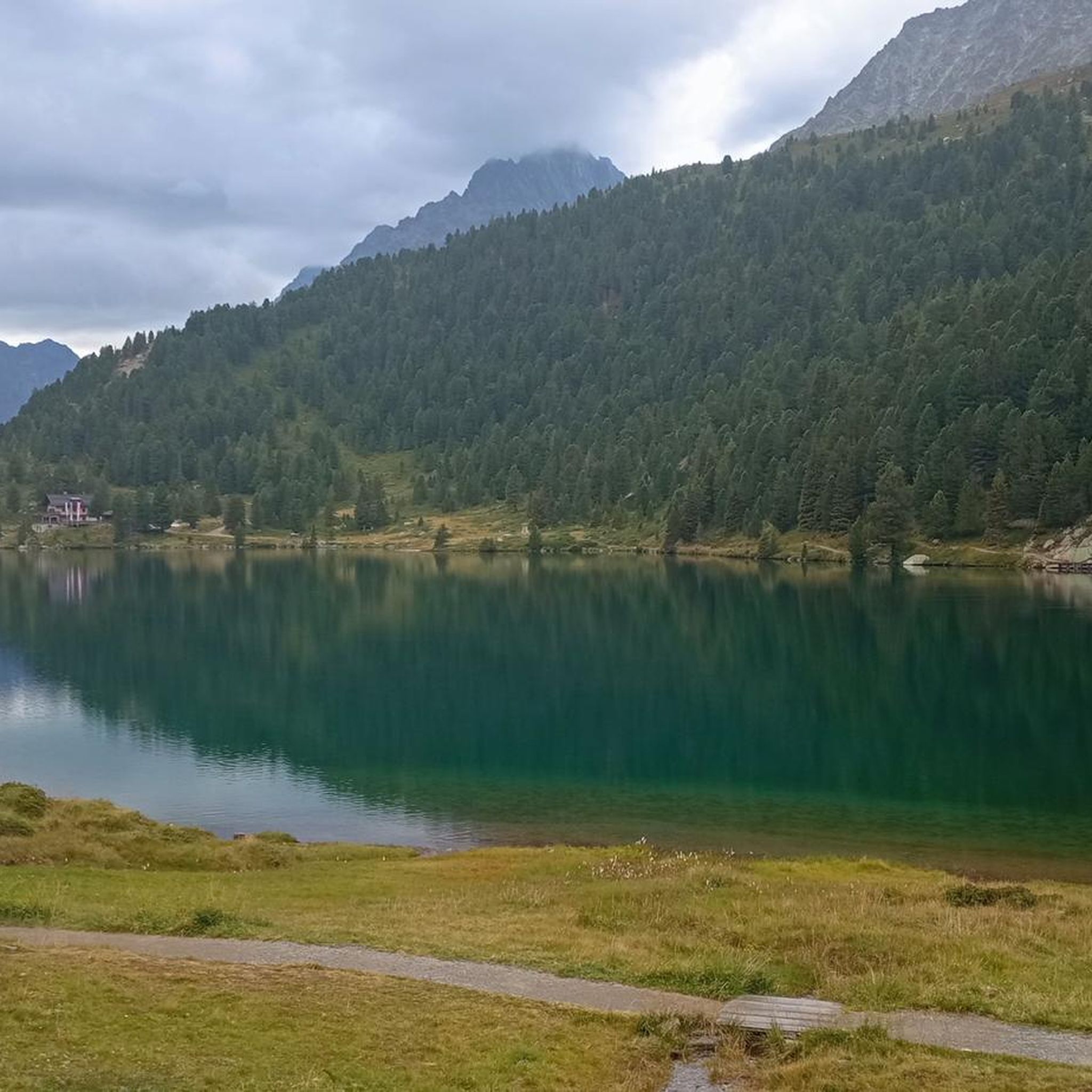
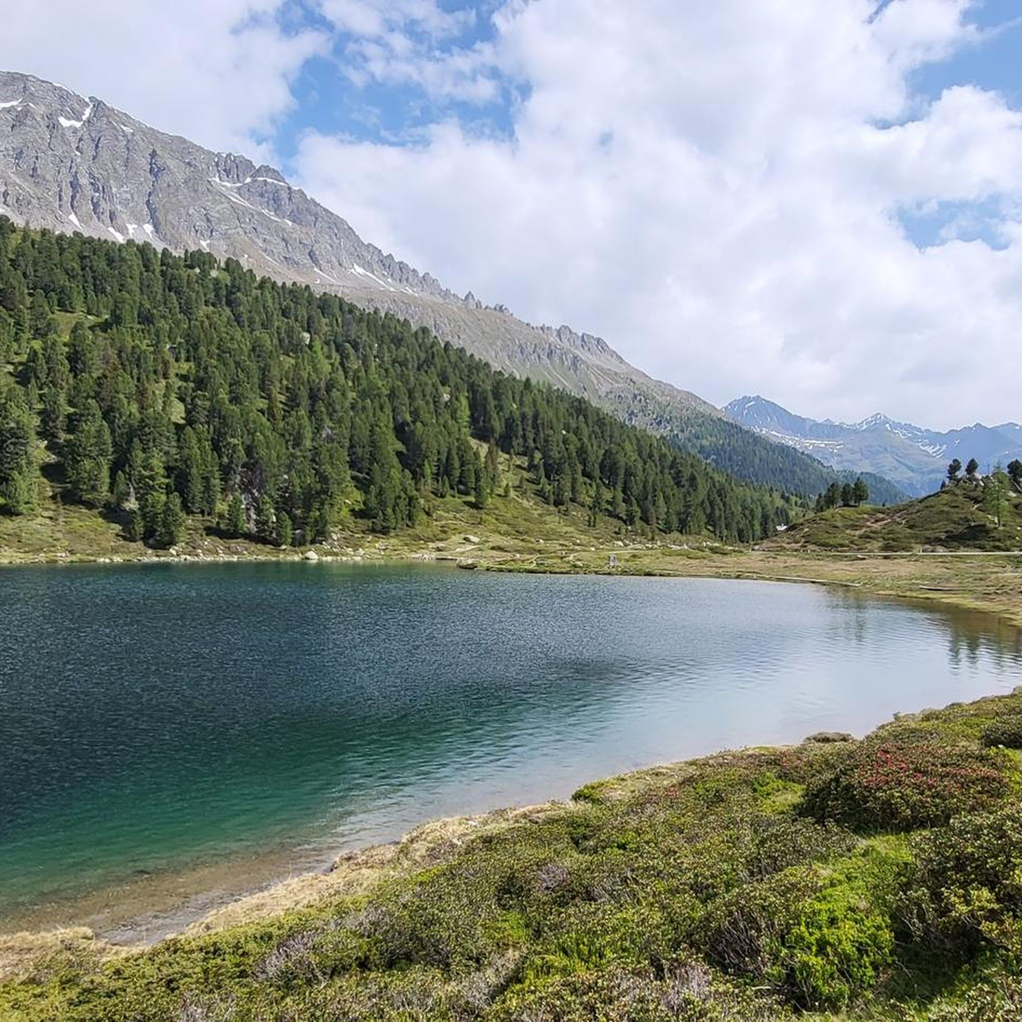
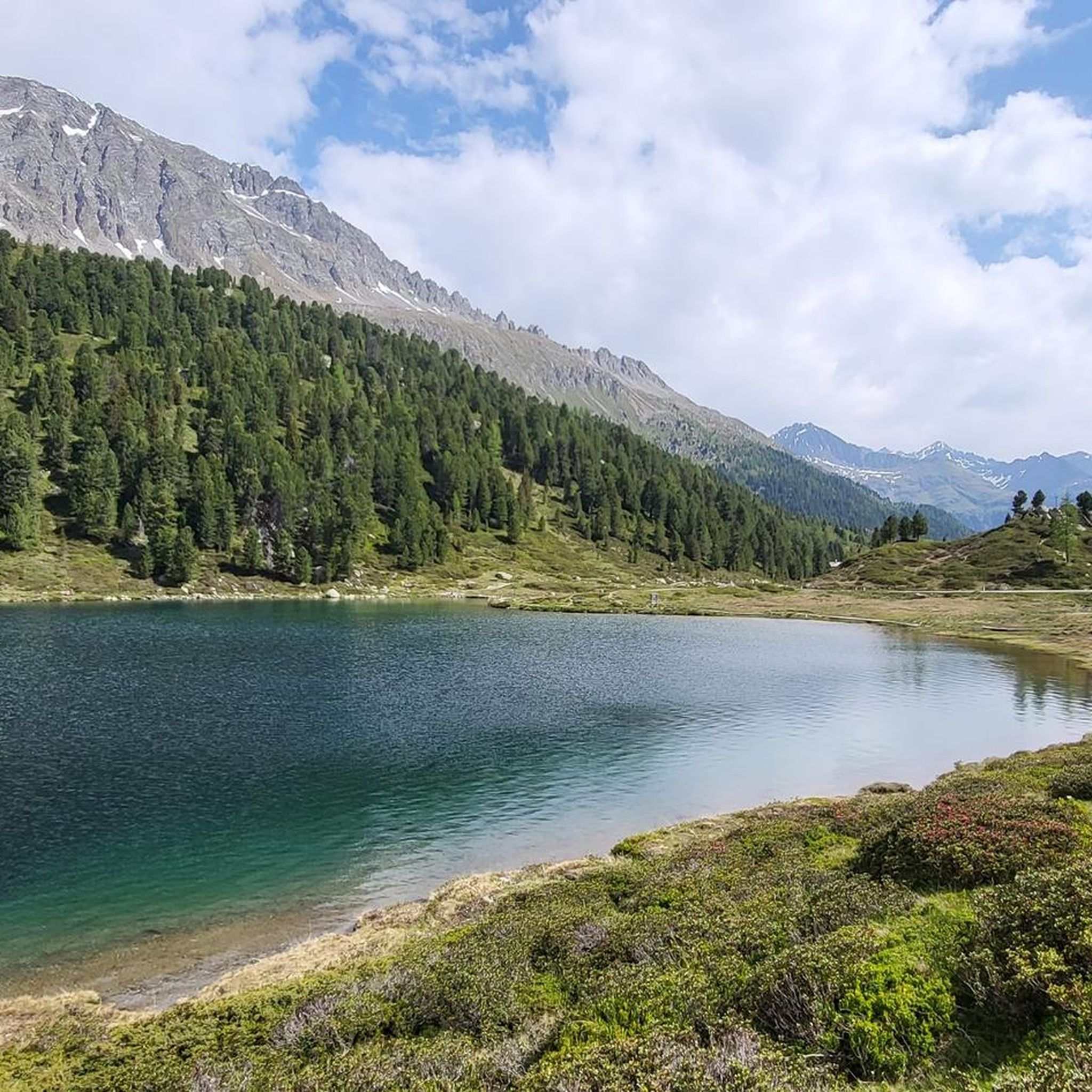
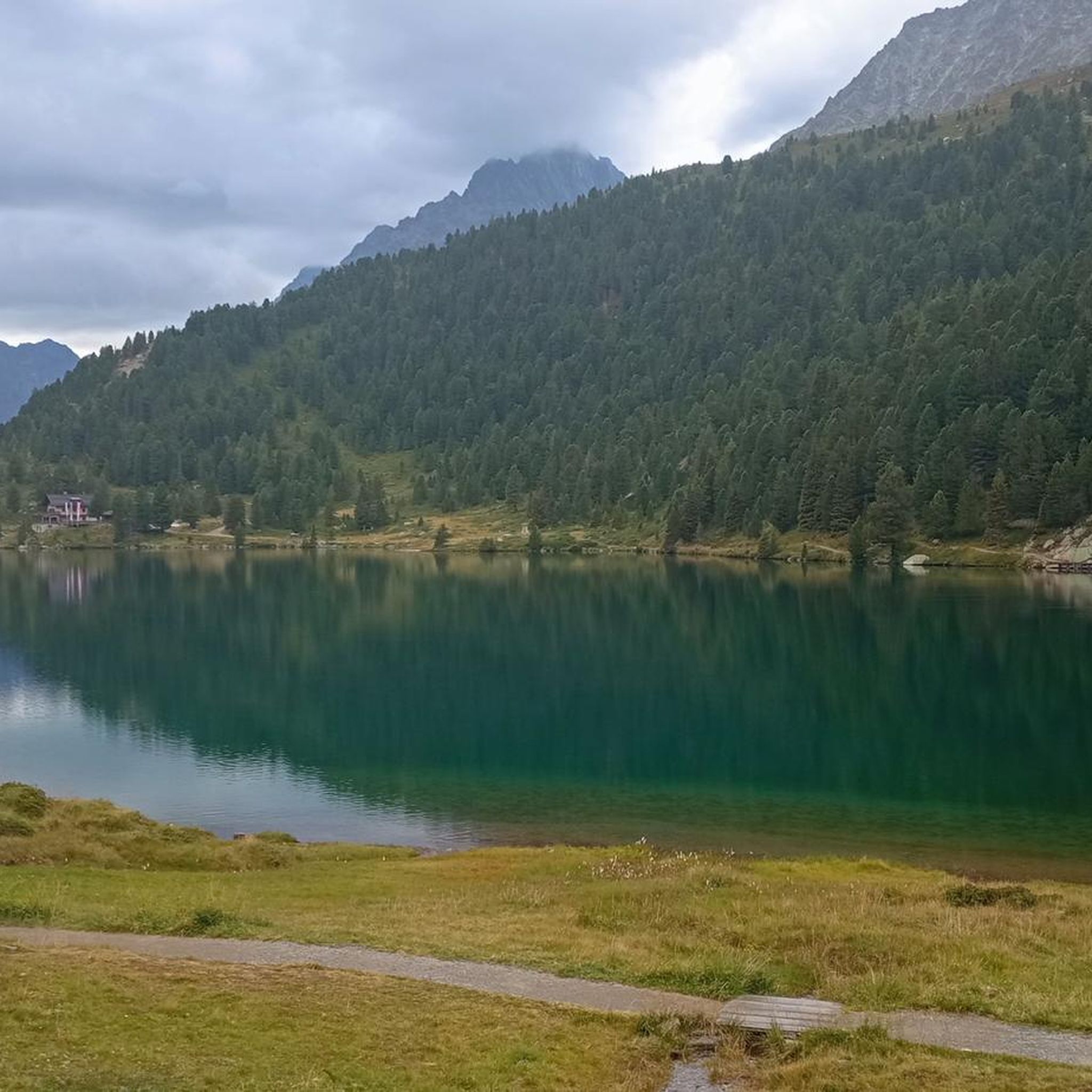
The Alpengasthaus Obersee is picturesquely situated at the Staller Sattel, the border crossing to Italy. The renovated guesthouse is located directly on the beautiful Obersee at an altitude of 2,000 meters – surrounded by the numerous mountain peaks of the Hohe Tauern National Park and the Rieserferner Group in South Tyrol – and invites you to enjoy, relax, hike, and observe the unique natural landscape.
0
0

From May 16, 2025 (12 noon), the Staller Sattel will be open to all vehicles again. During the summer months, the pass is accessible 24 hours a day with traffic lights. The crossing from the Defreggental to the Antholzertal is possible every hour from 1 to 15 minutes. The crossing from the Antholzertal to the Defreggental is possible every hour from 30 to 45 minutes.
0
0

In winter you can rent sledges here to go to Lake Antholz.
1
0

@Markus: I agree 100%. It's great that the open border is possible. Even if the cars always seem to have to wait a long time at the border, but in reality they have to wait at the red light before leaving the pass.
1
0
Beautiful inn right on the lake. We were lucky and enjoyed our lunch with a view of the water 👍
0
0

Memorial cross with wonderful view of the lower mountain lake
0
0
Frequently Asked Questions
How many mountaineering routes are available around Obersee?
There are over 35 mountaineering routes around Obersee, offering a diverse range of experiences. These routes are highly rated by the komoot community, with an average score of 4.8 stars.
Are there any notable natural features or landmarks to see while mountaineering near Obersee?
Absolutely! The region is rich in natural beauty. A significant highlight is the Röthbach Waterfall, Germany's highest waterfall, which plunges 470 meters down the mountainside at the southern end of Obersee. You can also visit the charming Fischunkelalm, a historic mountain hut, and enjoy stunning views of the Villgraten Mountains.
What is the typical terrain and difficulty level for mountaineering routes in the Obersee area?
Mountaineering routes around Obersee feature rugged mountain scenery and often traverse challenging terrain with significant elevation changes. The routes range from moderate ascents to demanding summit paths. For example, the Alpine Valley Landscape – Rote Wand Summit (2,817 m) loop is a difficult 12.7 km trail with over 730 meters of elevation gain, while the Oberseehütte at Stallersattel – Alpine Valley Landscape loop is a moderate 11.9 km route.
How do I access the mountaineering trails around Obersee, especially regarding parking and public transport?
Direct car access to Obersee itself is not possible. Visitors typically take an electric boat across the larger Königssee to the Salet pier. From Salet, it's a scenic and relatively easy hike to Obersee, which serves as a gateway to many mountaineering trails. For trailheads further afield, such as those originating from Staller Sattel, parking facilities are usually available at the pass.
Are there any family-friendly mountaineering options or easier trails near Obersee?
While many routes are challenging, there are options for varying skill levels. The immediate area around Obersee offers a popular and relatively flat circuit trail that takes 1-2 hours, providing continuously changing perspectives of the lake and mountains. For a moderate mountaineering experience, consider the Hinterbergkofel loop from Staller Sattel, which is 6.3 km long and takes about 3 hours 40 minutes.
Can I bring my dog on the mountaineering trails around Obersee?
The Berchtesgaden National Park, where Obersee is located, generally allows dogs on trails, but they must be kept on a leash to protect wildlife and other visitors. Always check specific trail regulations before heading out. Remember that the boat trip across Königssee to Salet may have specific rules regarding pets.
What is the best time of year for mountaineering in the Obersee region?
The best time for mountaineering around Obersee is typically from late spring to early autumn (May to October). During these months, trails are generally free of snow, and weather conditions are more stable. Always check current weather forecasts and trail conditions, especially for higher alpine routes, as conditions can change rapidly.
Are there any circular mountaineering routes available?
Yes, there are several circular routes. For instance, the Oberseehütte at Stallersattel – Almerhorn Summit loop is a challenging 7.9 km circular path that ascends to the Almerhorn Summit. Another option is the Staller Pass – Obersee at the Staller Saddle loop, a moderate 2.9 km circular route perfect for experiencing the immediate surroundings of the lake.
What do other mountaineers enjoy most about the Obersee area?
The area is highly rated by the komoot community, with an average score of 4.8 stars from over 90 reviews. Mountaineers often praise the dramatic alpine landscape, the pristine emerald waters of Obersee, and the breathtaking reflections of the surrounding peaks. The combination of challenging routes and serene natural beauty is frequently highlighted.
Are there any specific permits required for mountaineering in the Berchtesgaden National Park?
Generally, no specific permits are required for hiking and mountaineering on marked trails within the Berchtesgaden National Park. However, for certain alpine climbing routes or protected areas, specific regulations might apply. It's always advisable to check the official national park website for the latest information on any restrictions or special requirements before embarking on a tour.
What kind of wildlife might I encounter on the trails around Obersee?
As part of the Berchtesgaden National Park, the area is home to diverse alpine wildlife. You might spot chamois, ibex, marmots, and various bird species, including golden eagles. Remember to observe wildlife from a distance and avoid disturbing their natural habitat.
Are there any places to eat or stay overnight near the mountaineering routes?
While Obersee itself is quite secluded, the Alpine Inn Oberseehütte near the lake offers a resting spot and sometimes fresh dairy products during summer months. For more substantial accommodation and dining options, you would typically find these in the nearby villages accessible from the Königssee area or around Staller Sattel, depending on your chosen trailhead.
Most popular routes around Obersee
Most popular attractions around Obersee

Get inspired with the komoot mobile app


Explore more
Browse the best Mountain Hikes & Routes in other regions.
