The best mountain hikes around Lago d'Iseo
4.7
(16)
124
hikers
11
hikes
Mountaineering routes around Lago d'Iseo are set amidst the diverse and dramatic landscapes of the Lombardy region in Italy. The area features a glacial lake surrounded by lush green mountains, offering a blend of serene lakeside and challenging alpine environments. Notable peaks like Corna Trentapassi and Monte Guglielmo provide steep slopes and significant elevation gains. An extensive network of trails includes demanding mountaineering routes and sections with via ferrata.
Best mountaineering routes around Lago d'Iseo
- The most popular mountaineering route is East Forepeak Corna Trentapassi – Corna Trentapassi loop from Toline, a 5.0 miles (8.1 km) trail that takes 5 hours 5 minutes to complete. This route offers demanding ascents and panoramic views from the prominent Corna Trentapassi.
- Another top favourite among local mountaineers is Forcellino del Zuf loop from Vello, a difficult 4.7 miles (7.6 km) path. This trail navigates the mountainous terrain at the northern end of the lake, providing a challenging experience.
- Local mountaineers also love the Monte Isola loop from Sulzano, a 3.8 miles (6.2 km) trail leading through Europe's largest inhabited lake island, often completed in about 2 hours 14 minutes.
- Mountaineering around Lago d'Iseo is defined by steep mountain slopes, a glacial lake environment, and unique geological formations like the Erosion Pyramids of Zone. The network offers options for different ability levels, from moderate ascents to difficult, high-elevation challenges.
- The routes in Lago d'Iseo are highly rated by the komoot community with an average score of 4.9 stars from more than 20 reviews. More than 250 mountaineers have used komoot to explore Lago d'Iseo's varied terrain.
Last updated: July 4, 2026
4.6
(5)
32
hikers
8.06km
05:05
980m
980m
Hard mountaineering route. Very good fitness required. Sure-footedness, sturdy shoes and alpine experience required.
15
hikers
6.30km
02:16
360m
360m
Moderate mountaineering route. Good fitness required. Mostly accessible paths. Sure-footedness required.

Sign up for free
5.0
(1)
2
hikers
9.89km
03:59
630m
630m
Hard mountaineering route. Good fitness required. Sure-footedness, sturdy shoes and alpine experience required.
5.0
(1)
3
hikers
6.10km
02:12
310m
310m
Moderate mountaineering route. Good fitness required. Mostly accessible paths. Sure-footedness required.
4.7
(7)
37
hikers
9.13km
04:18
810m
810m
Hard mountaineering route. Good fitness required. Sure-footedness, sturdy shoes and alpine experience required.
Get access to more routes and recommendations from other explorers.
Sign up for free
Already have an account?
Our route recommendations are based on thousands of hikes, rides, and runs completed by other people on komoot.
Start today with a free account
Your next adventure awaits.
Login or Signup
Popular around Lago d'Iseo
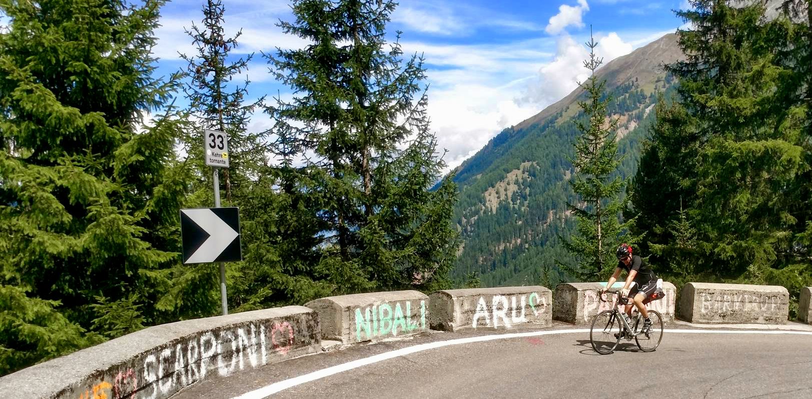
From the mountains to the sea — road cycling in Northern Italy
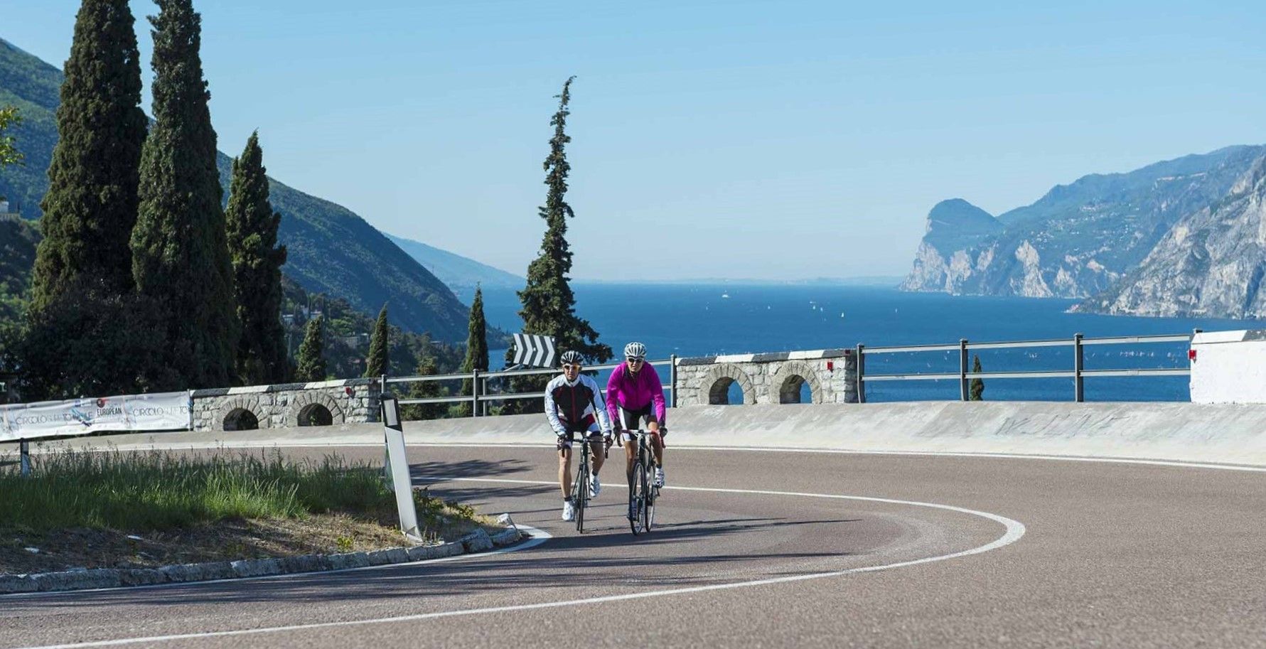
Lakeside paradises and great climbs – seven rides between Lakes Garda and Iseo
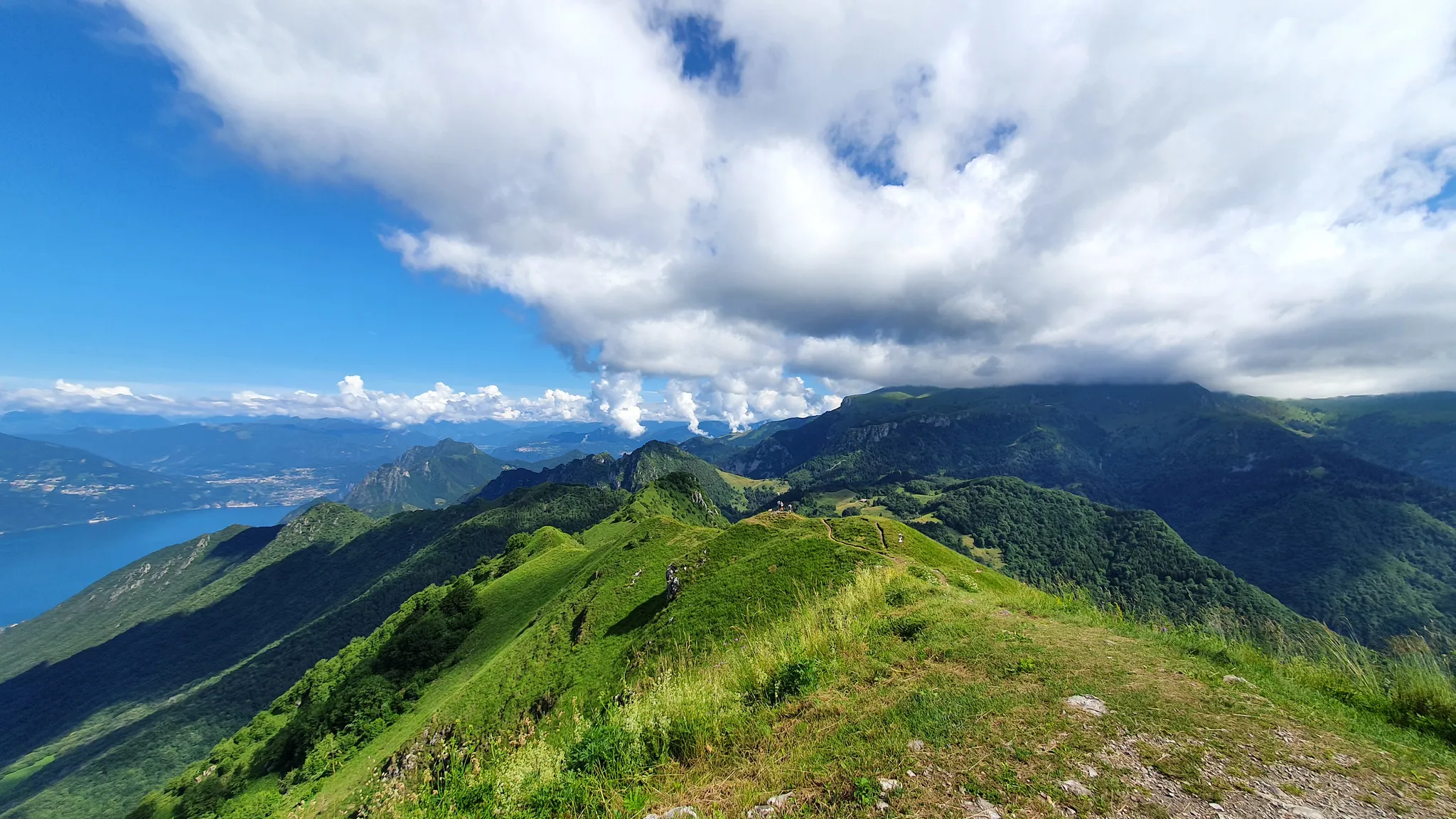
Between paths, refuges and churches – the hidden side of Lake Iseo
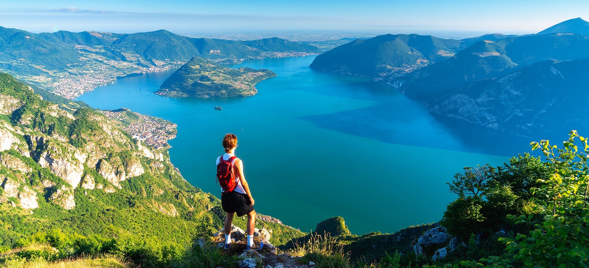
Where mountains meet the water – hike on Italy’s Lake Iseo
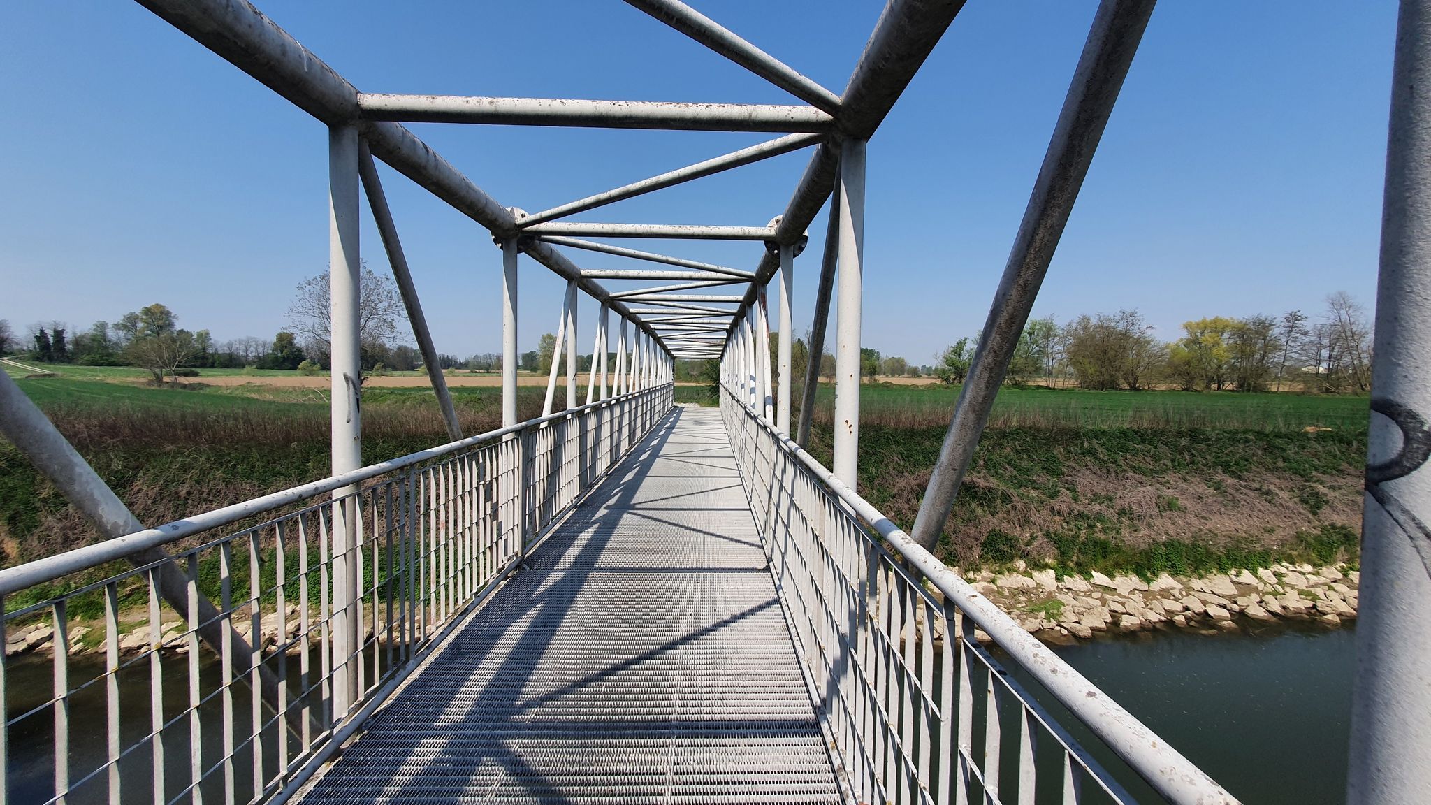
From source to mouth – Oglio Cycle Route
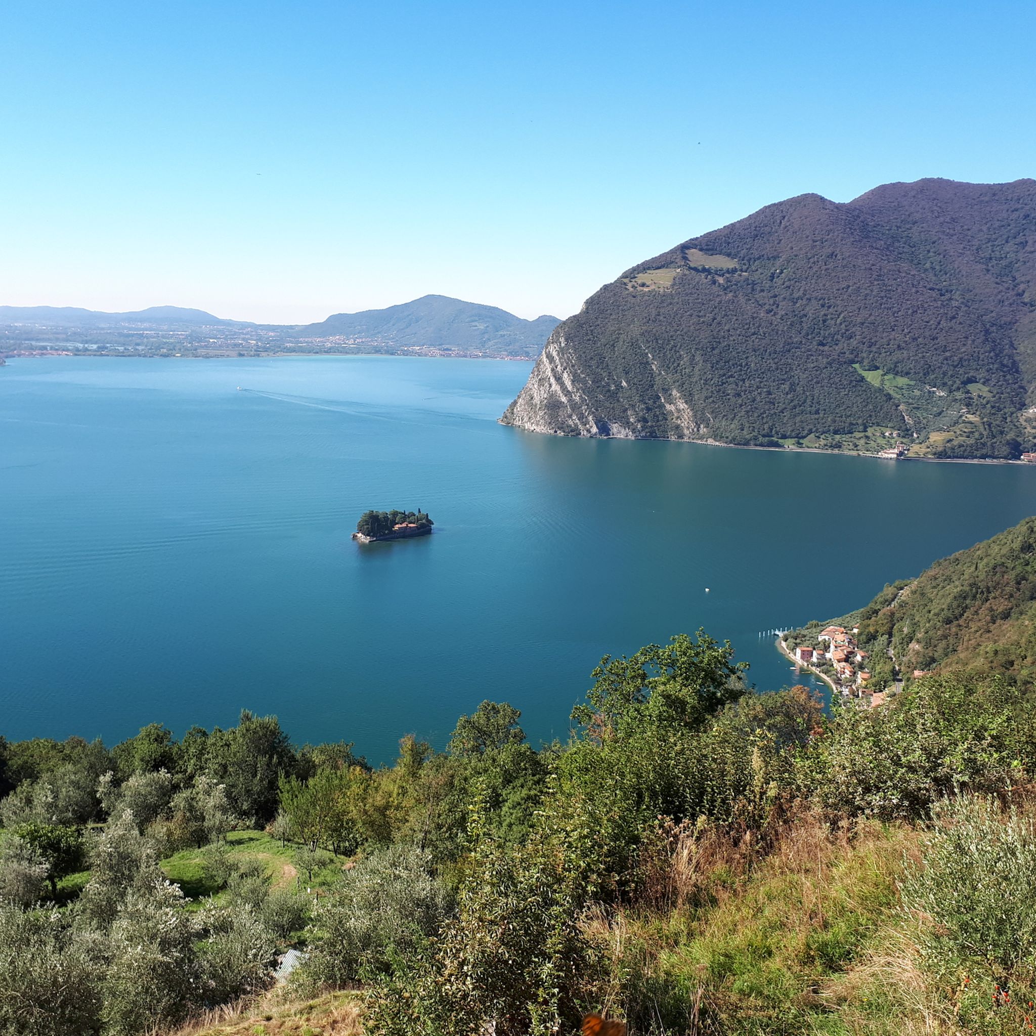
Hiking around Lago d'Iseo
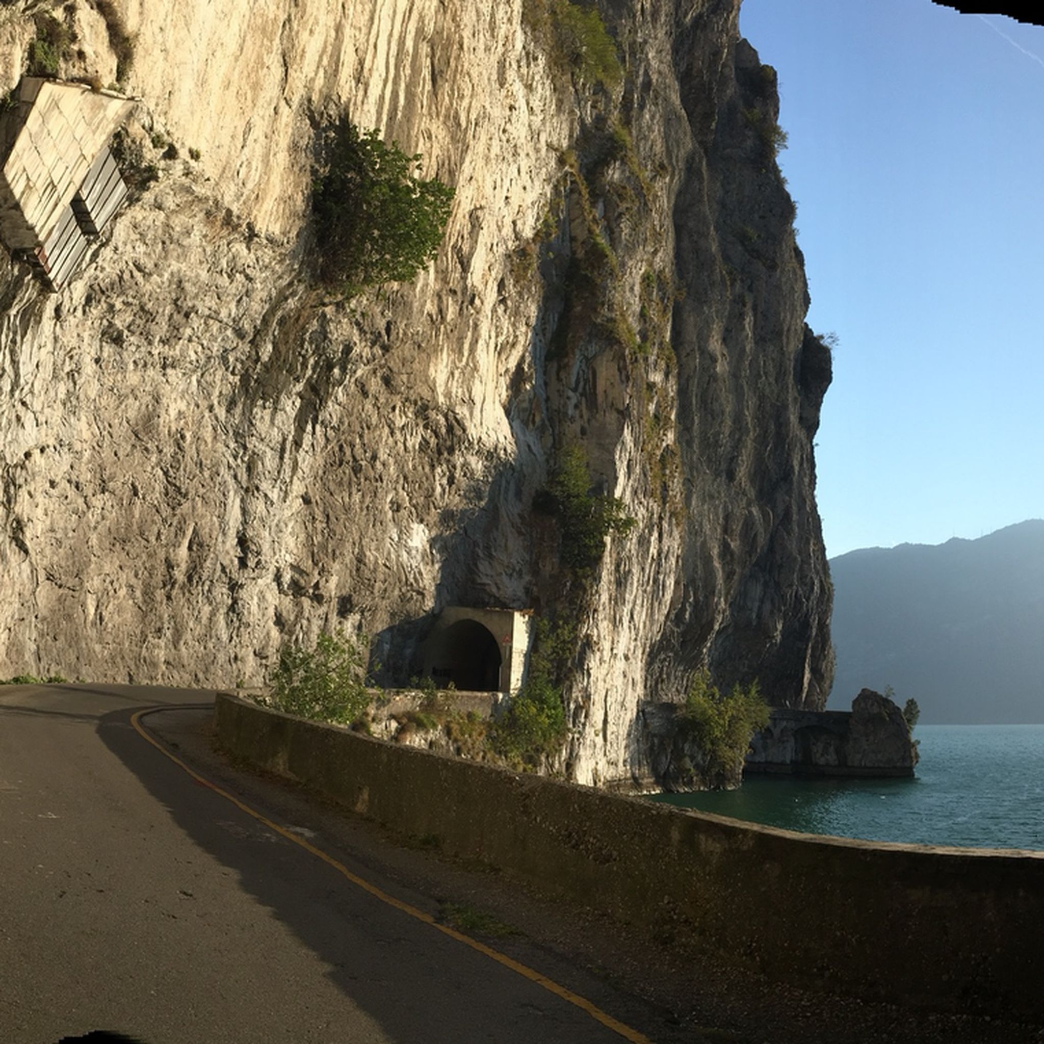
Road Cycling Routes around Lago d'Iseo
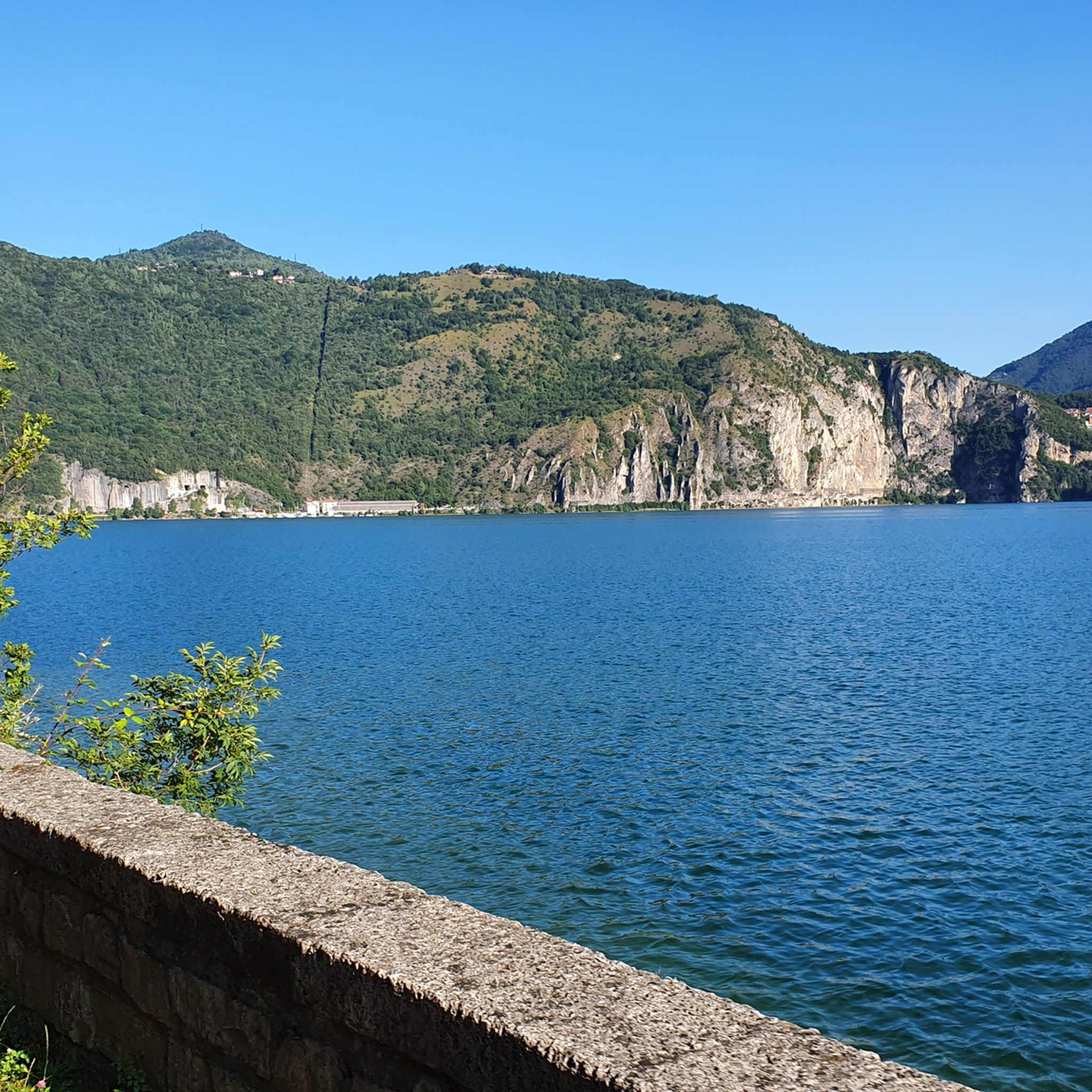
Cycling around Lago d'Iseo
MTB Trails around Lago d'Iseo
Running Trails around Lago d'Iseo
Other adventures around Lago d'Iseo


Tips from the Community

Beautiful little church, picturesquely located on a sub-peak with a truly dreamlike view over Marone, Sale Marasino, Lake Iseo and Monte Isola.
0
0

panorama on Lake Iseo and Val Trompia
0
0
The Filippo Benedetti Equipped Trail is the most technical and spectacular section for climbing Punta Almana: it starts from Forcella di Sale and reaches the ridge passing through Punta Cabrera, with short equipped sections and continuous views of Lake Iseo. 🧭 Trail Identity The Filippo Benedetti Trail is an E/EE route with some passages equipped with metal cables, but it is not a via ferrata. It is a historic trail dedicated to Filippo Benedetti, a central figure in the Gruppo Amici della Montagna of Sale Marasino. The sources confirm that the route: starts from Portole and climbs to Forcella di Sale (approx. 1h) takes trail 3V / 314 beyond the pass turns right and begins the equipped section towards Punta Cabrera continues along the ridge to the summit of Punta Almana (1390 m) 🥾 Technical Description of the Route 1) Portole → Forcella di Sale Steep mule track, cobbled and then cemented About 1h of determined climbing 2) Entrance to the Benedetti Trail At the Forcella, cross a fence and follow the meadow with white-blue trail markers. The trail immediately becomes steep, rocky, and exposed in some places. The sources describe it as: sections equipped with cable diagonal ledge on grassy-earthy ground rocky gully where you can climb even without a rope if experienced 3) Punta Cabrera → Almana Ridge After Punta Cabrera, you face an exposed traverse and a final equipped gully. Once the equipment ends, you emerge onto the ridge, with a direct view of the summit cross. The ridge is scenic but requires a sure footing. 4) Punta Almana Summit (1390 m) The cross is reached in a few minutes. Exceptional panorama over Sebino, Guglielmo, Orobie, and Val Trompia. ⛰️ Recommended Descent The classic descent is along the ridge towards the Croce di Pezzolo, then return to Portole via Pezzolo/Osteria Pastina. The Almana → Pezzolo section is steep and rocky, classified as EE in technical sources.
0
0
path connecting Punta Almana to the forcella di sale
0
0

A beautiful hermitage perched on a panoramic hill. The view is breathtaking, and the churchyard is perfect for a break.
0
0


Only you running on the water
0
0

A truly picturesque village. You can cross it from both the main road and the municipal road along the lake, but beware, as there are several businesses like bars and restaurants with waiters crossing the road with trays.
1
0
Frequently Asked Questions
What types of mountaineering routes can I find around Lago d'Iseo?
Lago d'Iseo offers a range of mountaineering routes, from moderate ascents to challenging, high-elevation trails. The region features steep mountain slopes, a glacial lake environment, and unique geological formations. You'll find 7 moderate and 18 difficult routes, catering to various skill levels.
Are there any family-friendly mountaineering options around Lago d'Iseo?
While many mountaineering routes in the area are challenging, some trails on Monte Isola offer a more moderate experience suitable for active families. For instance, the Monte Isola loop from Sulzano is a moderate 6.2 km route that takes about 2 hours 14 minutes to complete, leading through Europe's largest inhabited lake island.
What are some notable viewpoints or landmarks accessible via mountaineering routes?
Many routes offer spectacular views of Lago d'Iseo and the surrounding mountains. The ascent to the Sanctuary of Madonna della Ceriola on Monte Isola provides breathtaking 360-degree panoramic views. Peaks like Corna Trentapassi and Monte Bronzone are also renowned for their vistas. You can also explore unique geological features like the Pyramids of Zone.
Are there any circular mountaineering routes available?
Yes, several routes are designed as loops, allowing you to start and end at the same point. Examples include the demanding East Forepeak Corna Trentapassi – Corna Trentapassi loop from Toline, the challenging Forcellino del Zuf loop from Vello, and the moderate Monte Isola loop from Sulzano.
What do other mountaineers say about the routes in Lago d'Iseo?
The mountaineering routes around Lago d'Iseo are highly rated by the komoot community, with an average score of 4.9 stars from over 20 reviews. Mountaineers often praise the diverse terrain, the stunning panoramic views, and the challenging yet rewarding ascents.
What is the best time of year for mountaineering in Lago d'Iseo?
The spring and autumn months generally offer the most pleasant conditions for mountaineering around Lago d'Iseo, with milder temperatures and less crowded trails. Summer can be warm, especially at lower elevations, while winter mountaineering requires specific gear and experience due to snow and ice at higher altitudes.
Are dogs allowed on the mountaineering trails?
Many trails in the Lago d'Iseo region are dog-friendly, but it's always advisable to check local regulations or specific route descriptions for any restrictions, especially in protected areas or on more technical sections. Always keep your dog on a leash and ensure they are fit enough for the chosen route.
What are some nearby attractions to explore after a mountaineering trip?
After your mountaineering adventure, you can explore several attractions around Lago d'Iseo. Consider a stroll along the Vello–Toline Cycle Path, visit the charming town of Iseo, or enjoy the views from the Peschiera Maraglio Lakeside Promenade. The region also offers opportunities for water sports on the lake.
How can I access the trailheads using public transport?
Public transport options, including ferries and local buses, serve many towns around Lago d'Iseo, making some trailheads accessible. For example, Monte Isola is car-free and primarily accessed by ferry from towns like Sulzano. For routes like those near Corna Trentapassi or Monte Bronzone, local bus services might connect to nearby villages, but checking specific timetables is recommended.
Are there any long-distance mountaineering routes or multi-day options?
While individual mountaineering routes are typically day trips, the region's extensive network allows for longer excursions. The historic Antica Strada Valeriana, for instance, offers a multi-day hiking experience along the eastern shore of Lake Iseo and into Valle Camonica, though it's more of a hiking trail than a technical mountaineering route. For a challenging single-day experience, consider the Pozza del Colle d'Oregia – Monte Bronzone loop from Predore, which is 16.2 km long and takes over 7 hours.
What should I know about parking near popular mountaineering trailheads?
Parking availability varies by trailhead. In popular areas like Toline (for Corna Trentapassi) or Vello, designated parking lots may exist but can fill up quickly during peak season. For Monte Isola, you would typically park in Sulzano or Iseo and take a ferry. Always check for local parking regulations and fees in advance.
Most popular routes around Lago d'Iseo
Most popular attractions around Lago d'Iseo

Get inspired with the komoot mobile app


Explore more
Browse the best Mountain Hikes & Routes in other regions.
