The best running trails around Lake Lungo
4.0
(2)
230
runners
26
runs
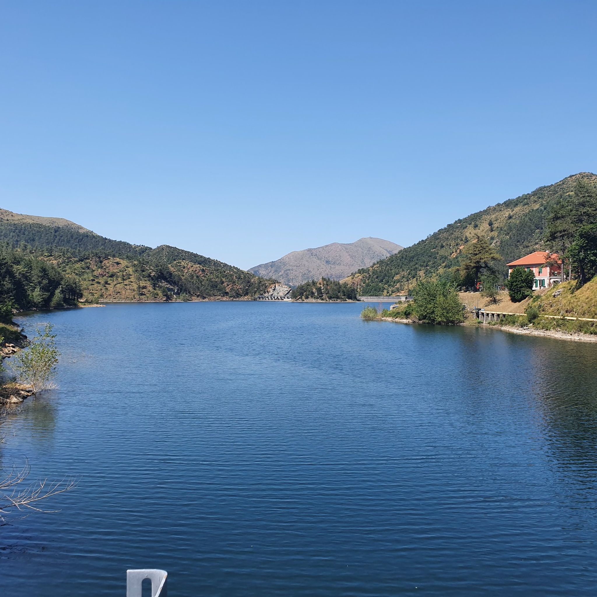
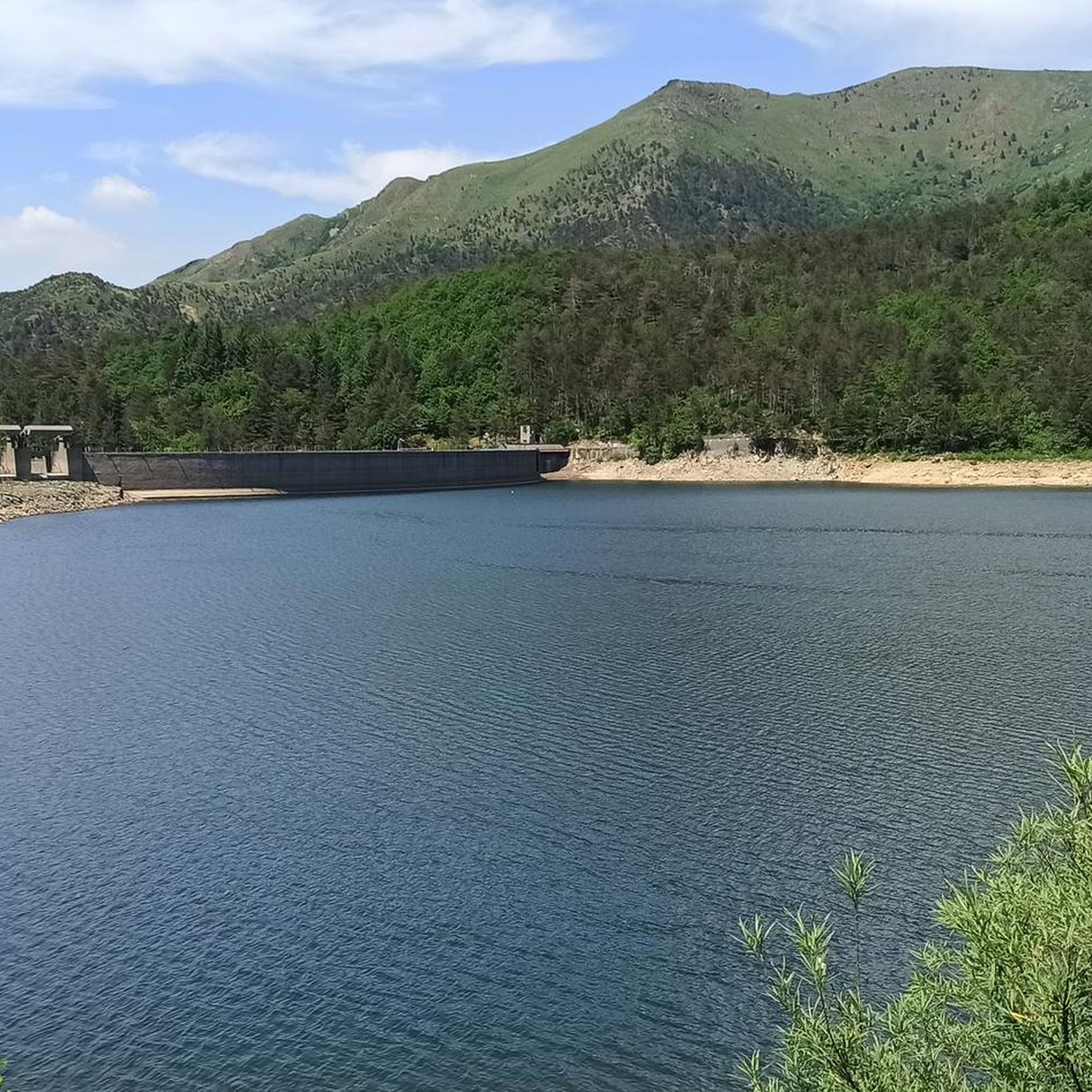
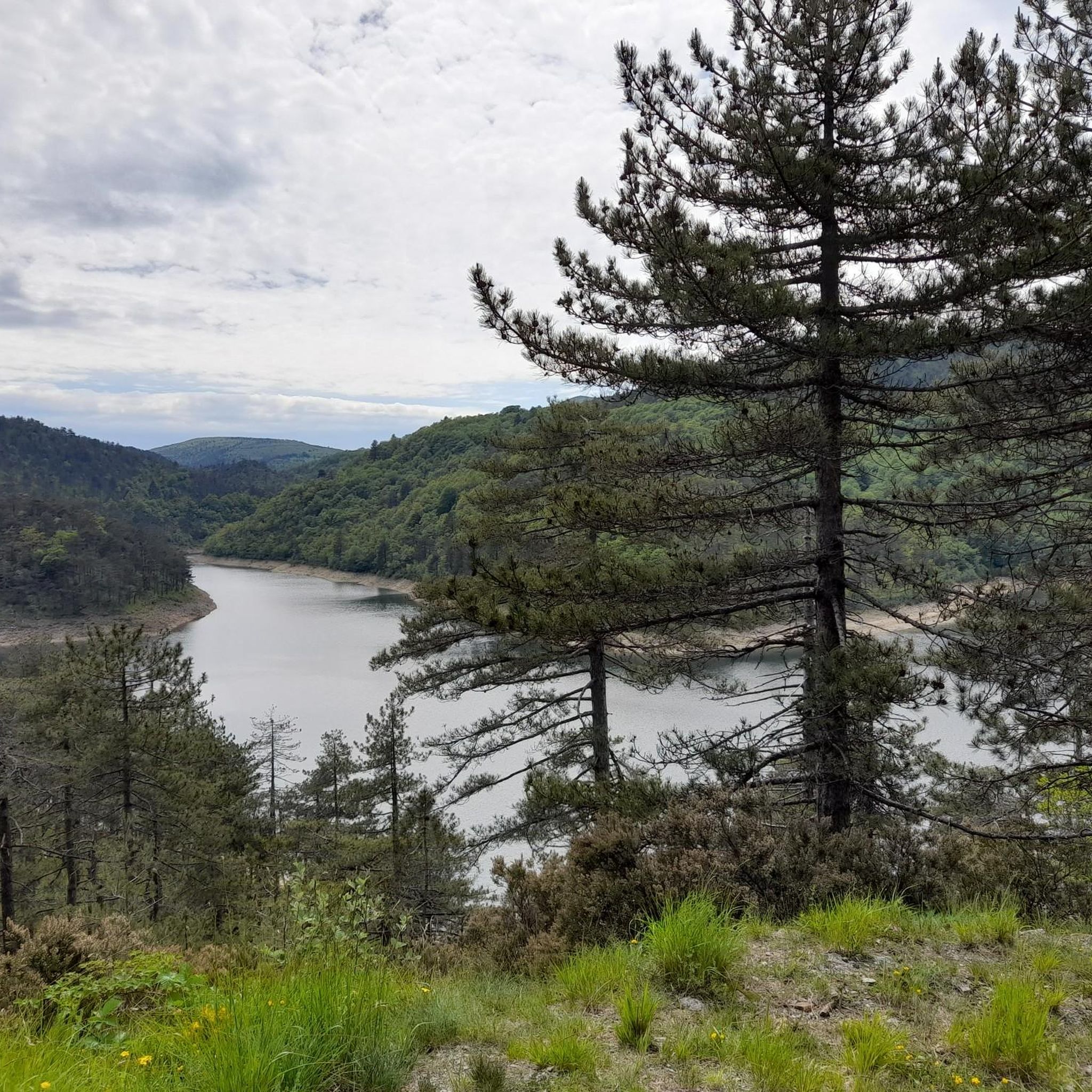
Jogging around Lake Lungo offers routes through a landscape characterized by hilly terrain, streams, and forested paths. The region features notable elevations, with several routes ascending to peaks and passes. Historic elements, such as old bridges, are also part of the natural and cultural fabric of the area. These running routes provide opportunities to explore the varied topography of Lake Lungo.
Best jogging routes around Lake Lungo
- The most popular jogging route is Monte Tobbio from Ponte Nespolo Loop,…
Last updated: July 1, 2026
34
runners
Hard run. Good fitness required. Sure-footedness, sturdy shoes and alpine experience required.
5.0
(1)
7
runners
24.8km
03:30
800m
800m
Hard run. Very good fitness required. Sure-footedness, sturdy shoes and alpine experience required.

Sign up for free
1
runners
9.01km
01:40
520m
520m
Hard run. Very good fitness required. Sure-footedness, sturdy shoes and alpine experience required.
5
runners
10.9km
01:41
380m
390m
Hard run. Very good fitness required. Sure-footedness, sturdy shoes and alpine experience required.
15
runners
8.96km
00:57
120m
120m
Moderate run. Good fitness required. Mostly paved surfaces. Suitable for all skill levels.
Get access to more routes and recommendations from other explorers.
Sign up for free
Already have an account?
Our route recommendations are based on thousands of hikes, rides, and runs completed by other people on komoot.
Start today with a free account
Your next adventure awaits.
Login or Signup
Tips from the Community

Turchino pass 589m above sea level reached via Giutte road starting from Acquasanta Railway Station
0
0

Plateau on the Ligurian Apennines, dividing line between Piedmont and Liguria.
1
0

From here you have a great view of what is around Monte Tobbio
0
0

Wonderful view from up here, with the refuge chapel useful in case of bad weather, or for warming up in case of low temperatures. There are various paths, usually you follow the 401 and from Voltaggio it takes about 3 hours of hiking
2
1
At the Dagliola pass there are still 50 minutes left to reach the summit of Mount Tobbio, but it's worth it.
0
0

Small dirt road with a fairly hard surface and rocks but climbable (formerly a mule track), it can be done with training. It hangs not too much, a few small ramps, in the woods.
0
0

Lots of traffic but take the time to look at this great building great craftsmanship
1
0

It is the connection point between the hiking trails for Piani di Praglia, for San Carlo di Cese, for Monte Penello and Punta Martin, and for Passo del Turchino. It is located along the 22nd stage of the Alta Via dei Monti Liguri (Turchino–Praglia).
0
0
Frequently Asked Questions
What kind of terrain can I expect on running routes around Lake Lungo?
Jogging routes around Lake Lungo are characterized by hilly terrain, winding through forested paths and alongside streams. You'll encounter notable elevations, with several routes ascending to peaks and passes, offering a varied and engaging running experience.
Are there running routes suitable for beginners in Lake Lungo?
Yes, while many routes in Lake Lungo are considered difficult due to elevation changes, the network does offer options for various ability levels, including easy and moderate running routes. For example, there is 1 easy route and 4 moderate routes out of the 11 available.
What are some notable landmarks or points of interest I might see while jogging near Lake Lungo?
The routes around Lake Lungo feature historic elements, such as old bridges, and natural highlights like the Gorzente Stream. You might also pass by significant peaks such as Monte Tobbio, Punta del Corno, Monte Penello, and Rocca del Garsello. One route specifically highlights the Roman Bridge of Voltaggio.
Are there any circular running routes available in the Lake Lungo area?
Yes, many of the running routes around Lake Lungo are designed as loops, allowing you to start and finish in the same location. Examples include the challenging Monte Tobbio from Ponte Nespolo Loop and the Gorzente Stream – Passo della Bagiola loop from Ponte Nespolo.
What do other runners think about the trails in Lake Lungo?
The running routes in Lake Lungo are well-regarded by the komoot community, holding an average score of 3.0 stars. Over 90 runners have used komoot to explore the varied terrain, often praising the challenging ascents and the natural beauty of the forested paths and streams.
How many running trails are there in total around Lake Lungo?
There are 11 distinct running routes available around Lake Lungo, offering a range of distances and difficulties to suit different preferences.
Are there any long-distance running trails in Lake Lungo?
While the guide focuses on routes up to approximately 11 km, the hilly and varied terrain of Lake Lungo provides excellent opportunities for longer trail running sessions by combining or extending existing paths. The Gorzente Stream – Passo della Bagiola loop from Ponte Nespolo is one of the longer options at 10.9 km.
What is the best time of year to go jogging in Lake Lungo?
The guide does not specify the best time of year. However, given the region's hilly and forested nature, spring and autumn typically offer pleasant temperatures and beautiful scenery for outdoor activities like jogging. Summer can be warm, and winter might present challenges with snow or ice on higher elevations, though specific conditions would depend on the exact location of Lake Lungo.
Can I find challenging running routes in Lake Lungo?
Absolutely. Lake Lungo is known for its challenging running routes, with 6 out of the 11 available routes classified as difficult. These often involve significant elevation gains, such as the Rocca del Garsello loop from Camposilvano, which features over 600 meters of ascent.
Are there any running routes that offer panoramic views around Lake Lungo?
While not explicitly stated for every route, the presence of significant elevation gains and ascents to peaks like Monte Tobbio, Punta del Corno, and Monte Penello strongly suggests that many of the higher-altitude running trails would offer stunning panoramic views of the surrounding landscape.
What is the typical duration for a running route in Lake Lungo?
The duration of running routes in Lake Lungo varies depending on the distance and difficulty. For example, the Monte Tobbio from Ponte Nespolo Loop takes approximately 1 hour 39 minutes, while the Punta del Corno – Monte Penello loop from San Carlo di Cese 3 typically takes about 1 hour 59 minutes.
Are there any running routes that follow streams or rivers in Lake Lungo?
Yes, the region's landscape includes streams, and one prominent route, the Gorzente Stream – Passo della Bagiola loop from Ponte Nespolo, specifically follows the Gorzente Stream, offering a scenic experience alongside the water.
Most popular routes around Lake Lungo

Get inspired with the komoot mobile app


Explore more
Browse the best Running Trails & Routes in other regions.
