The best running trails around Goldkanal
4.4
(334)
5,615
runners
475
runs
Jogging around Goldkanal offers access to a diverse landscape centered around the largest quarry lake in Baden-Württemberg. The region features expansive water views, lush green shorelines, and adjacent floodplain areas, many of which are part of a nature reserve. This environment provides a mix of open water, sandy stretches, and wooded sections, creating varied scenery for running. The flat topography around the lake makes it accessible for various fitness levels, with well-maintained paths suitable for running.
Best jogging routes around…
Last updated: July 9, 2026
27
runners
16.0km
01:41
30m
30m
Hard run. Very good fitness required. Mostly paved surfaces. Suitable for all skill levels.
23
runners
10.5km
01:08
20m
20m
Moderate run. Good fitness required. Mostly paved surfaces. Suitable for all skill levels.

Sign up for free
27
runners
Moderate run. Good fitness required. Mostly paved surfaces. Suitable for all skill levels.
14
runners
Hard run. Very good fitness required. Mostly paved surfaces. Suitable for all skill levels.
11
runners
Moderate run. Good fitness required. Mostly paved surfaces. Suitable for all skill levels.
Get access to more routes and recommendations from other explorers.
Sign up for free
Already have an account?
Our route recommendations are based on thousands of hikes, rides, and runs completed by other people on komoot.
Start today with a free account
Your next adventure awaits.
Login or Signup
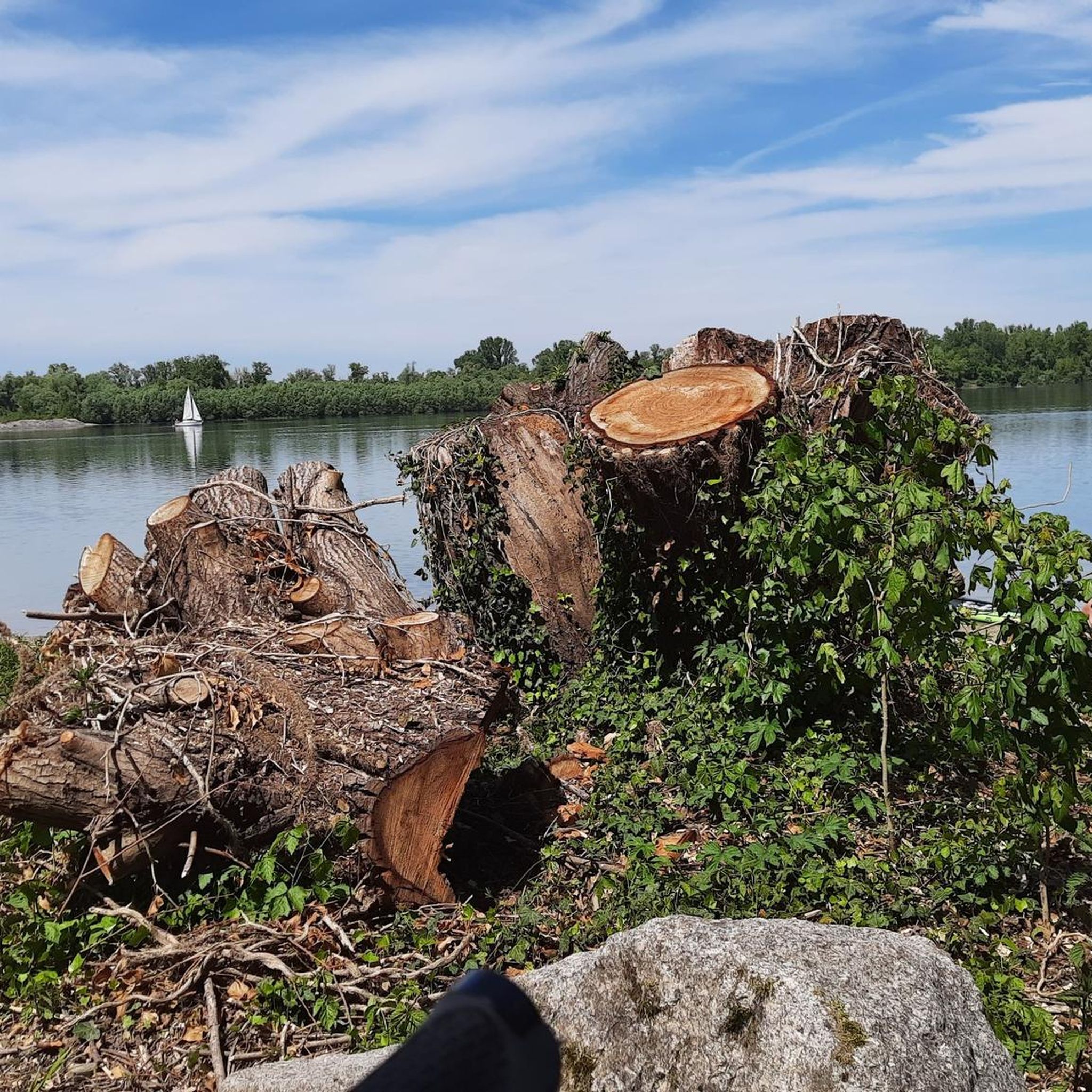
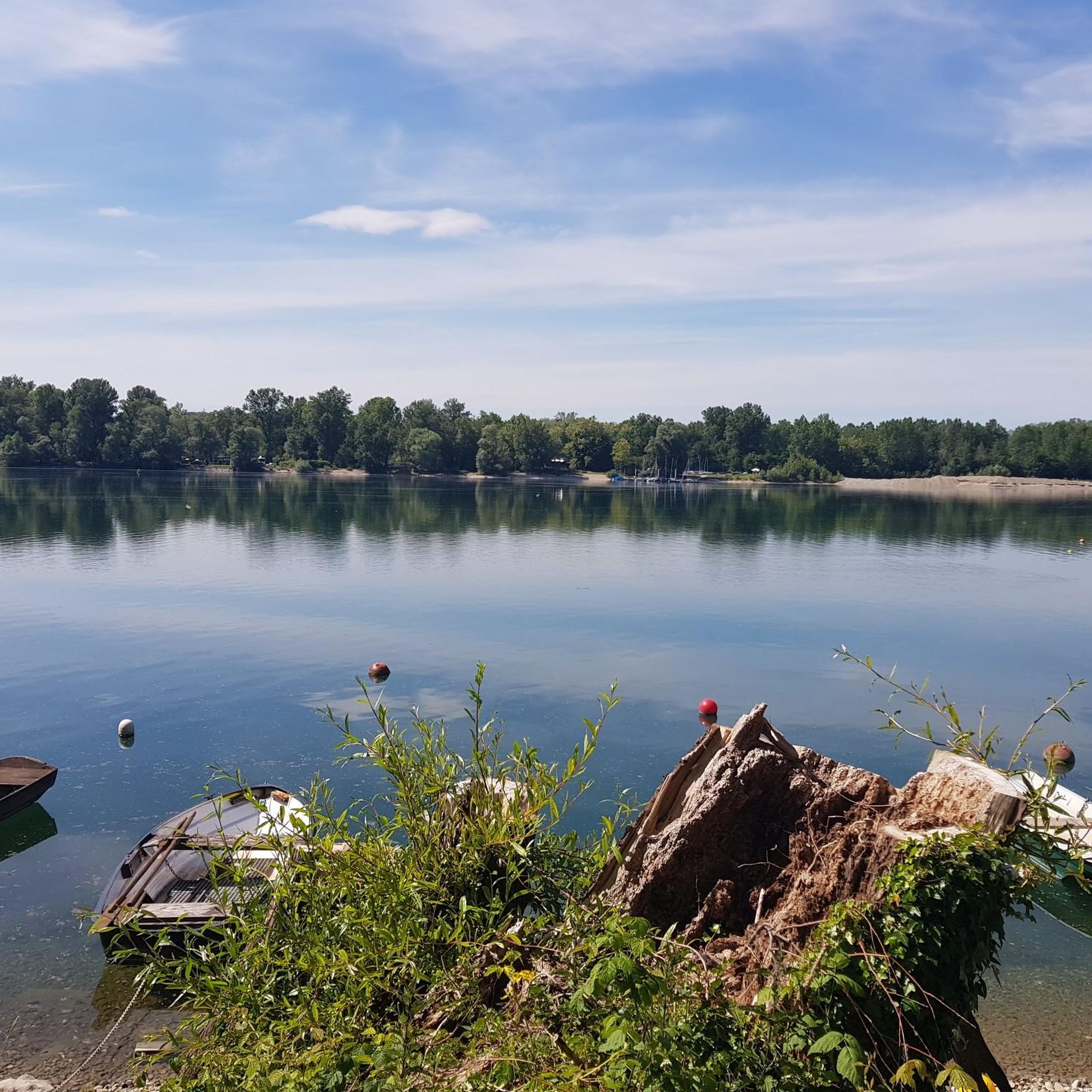
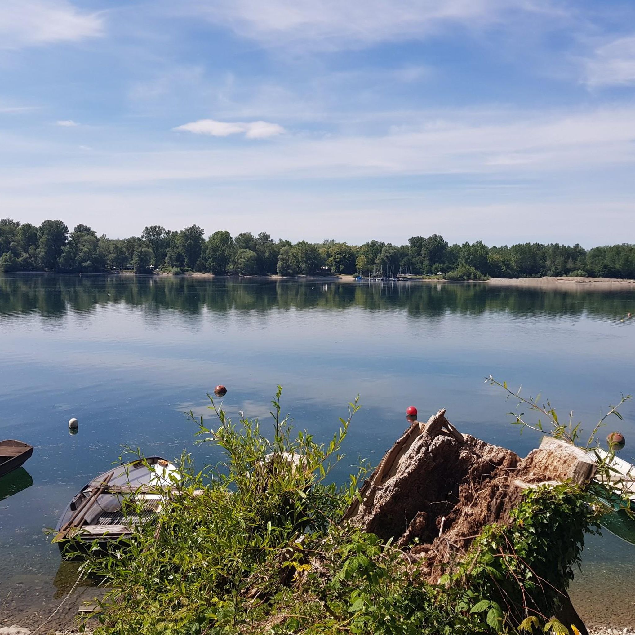
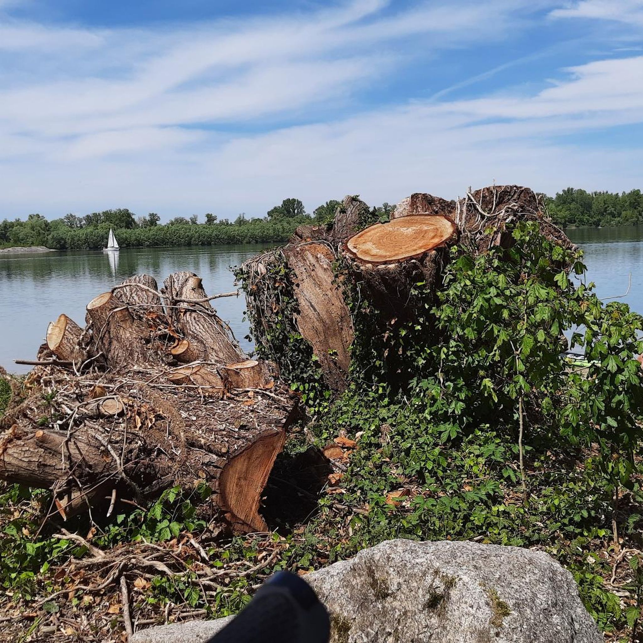
Tips from the Community

The Sauer is an approximately 70 km long tributary of the Rhine. It originates in the Palatinate Forest near the German-French border. On its way, it flows through the Northern Vosges and partly forms the border between Germany and France. It then crosses Alsace before flowing into the Rhine at Munchhausen. The Sauer has a catchment area of about 800 km² and an average discharge of around 6 m³ per second.
0
0
The Sauer is an approximately 70 km long tributary of the Rhine. It originates in the Palatinate Forest near the German-French border. On its way, it flows through the Northern Vosges and partly forms the border between Germany and France. It then crosses Alsace before flowing into the Rhine near Munchhausen. The Sauer has a catchment area of about 800 km² and an average discharge of around 6 m³ per second.
0
0
Willow bushes, marshy areas and reeds - the Sauer Delta nature reserve is an unusual landscape! It was declared a nature reserve by ministerial decree in 1997 and 486 ha were protected. From an ornithological, botanical and landscape perspective, it is a truly exceptional area and one of the last regions in France where the Rhine floodwaters can still spread out.
0
0
Willow bushes, marshy areas and reeds – the nature reserve of the Sauer Delta is an unusual landscape! It was declared a nature reserve by ministerial decree in 1997 and 486 ha were protected. From an ornithological, botanical and landscape perspective, it is a truly exceptional area and one of the last regions in France where the Rhine floodwaters can still spread.
0
0
The cable ferry "Saletio" is unique in its kind. A cable system whose principle consists in using the sole force of the current to move. It connects the two banks Seltz (FR) with Plittersdorf (DE). It can transport 70 passengers, 28 bicycles and 6 vehicles. Motorhomes and caravans are not allowed on the ferry. The ferry is free.
0
0

Despite checking the schedule, unfortunately it did not run on September 6, 2025.
0
0

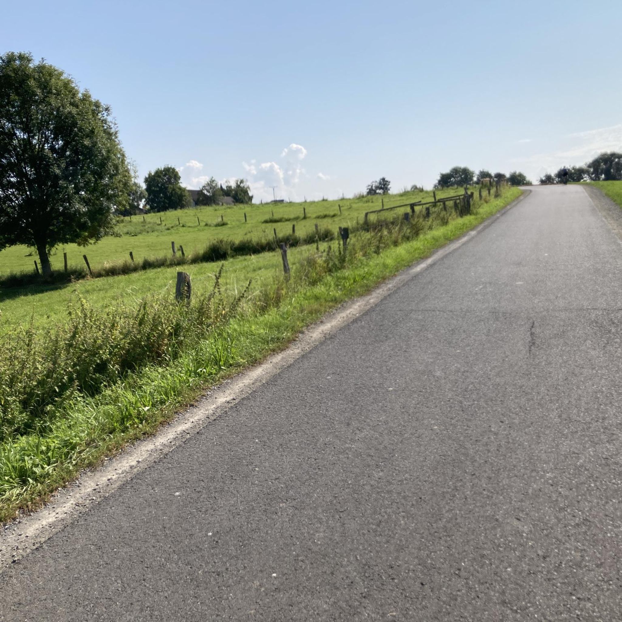
Joy and sadness in one place. A small piece of artistic originality. 👍🏻 In sight, just a few steps away, a Royal Air Force plane catches your eye. ...a memorial to sad times.
0
0

A small work of art by the wayside
0
1
Frequently Asked Questions
How many running routes are available around Goldkanal?
There are over 400 running routes around Goldkanal, offering a wide variety of options for all fitness levels. This includes 53 easy routes, 330 moderate routes, and 46 difficult routes, ensuring there's something for every runner.
Are there any easy jogging routes suitable for beginners or a relaxed run?
Yes, Goldkanal offers 53 easy running routes, perfect for beginners or those looking for a relaxed jog. The flat topography around the lake makes many paths accessible and enjoyable for all fitness levels. One example is the View of the Goldkanal loop from Steinmauern, a moderate 6.7 km (4.2 miles) route with minimal elevation gain.
What kind of terrain can I expect on the running trails in Goldkanal?
The running trails around Goldkanal feature a diverse mix of terrain. You can expect well-maintained paths along the lake, through lush green shorelines, and into adjacent floodplain areas. The landscape includes open water views, sandy stretches, and wooded sections, providing varied scenery during your run. The overall topography is generally flat, making it accessible.
Are there any scenic viewpoints or natural features to see while jogging?
Absolutely! Goldkanal is rich in natural beauty. You can enjoy picturesque water views of the lake, which is the largest quarry lake in Baden-Württemberg. The area is also part of a nature reserve, offering opportunities for wildlife observation, especially water birds. Notable spots include the South Shore of Goldkanal and Goldkanal Beach. You might also encounter the Old Oak Tree along some routes.
Can I find circular running routes around Goldkanal?
Yes, many of the running routes around Goldkanal are circular, allowing you to start and end at the same point. These routes often incorporate sections along the lake and through wooded areas, providing a complete and scenic loop. For example, the View of the Goldkanal loop from Steinmauern is a great option for a circular run.
Is Goldkanal suitable for family-friendly running or walks?
Yes, the Goldkanal area is very family-friendly. The flat topography and well-maintained paths make it suitable for all ages and fitness levels, including families with children. The diverse scenery and opportunities for nature observation add to the appeal for a family outing.
Are dogs allowed on the jogging trails around Goldkanal?
While the guide data doesn't explicitly state dog-friendly policies for every trail, Goldkanal is a popular recreational area with many natural paths. Generally, dogs are welcome on trails in natural areas, often requiring them to be on a leash. It's always a good idea to check local signage or specific route details for any restrictions.
What do other runners say about jogging in Goldkanal?
The running routes in Goldkanal are highly rated by the komoot community, with an average score of 4.3 stars from over 280 reviews. Over 4,800 runners have used komoot to explore the varied terrain. Reviewers often praise the large, scenic lake, the protected natural surroundings, and the well-developed network of paths that cater to different running preferences.
Are there any longer running routes for experienced runners?
Yes, Goldkanal offers several longer and more challenging routes for experienced runners. For instance, the Plittersdorf–Seltz Rhine Ferry – Along the Rhine loop from Mothern is a difficult 22.0 km (13.7 miles) trail that takes approximately 2 hours 18 minutes to complete, leading through the Rhine floodplain.
Where can I park when visiting Goldkanal for a run?
Goldkanal is a well-known recreational area, and there are typically designated parking areas available for visitors. While specific parking locations aren't detailed in the route descriptions, you can usually find parking near popular access points to the lake and its surrounding trails. It's advisable to check maps or local information for the most convenient parking for your chosen starting point.
Is it possible to reach the Goldkanal running trails by public transport?
Goldkanal is a popular destination, and while direct public transport links to every trailhead might vary, it is generally accessible. Depending on your starting point, you may find bus connections to nearby towns or villages that offer access to the Goldkanal area. Planning your route in advance with public transport maps is recommended.
Are there any routes that offer a good view of the Goldkanal itself?
Many routes provide excellent views of the Goldkanal lake. Given its size and scenic beauty, trails often run directly along the shoreline or offer elevated perspectives. The Rest stop at the Sauer Delta – Bridge over the Sauer loop from Mothern, a moderate 9.7 km (6.0 miles) route, offers great views as it traverses the area.
Most popular routes around Goldkanal
Most popular attractions around Goldkanal

Get inspired with the komoot mobile app


Explore more
Browse the best Running Trails & Routes in other regions.
