The best walks and hikes around Goldkanal
4.4
(1706)
7,945
hikers
418
hikes
Hiking around Goldkanal offers a network of trails primarily characterized by flat terrain and proximity to water bodies. The region features the Goldkanal lake itself, along with surrounding smaller lakes and the Rhine River, providing diverse waterside paths. The landscape is generally low-lying, with minimal elevation changes, making it accessible for various activity levels. This area, located in Landkreis Rastatt, is defined by its riparian zones and open landscapes.
Best hiking trails around Goldkanal
- The most popular hiking route is…
Last updated: July 8, 2026
4.6
(28)
105
hikers
Easy hike. Great for any fitness level. Easily-accessible paths. Suitable for all skill levels.
3.0
(1)
9
hikers
Easy hike. Great for any fitness level. Easily-accessible paths. Suitable for all skill levels.

Sign up for free
4.7
(12)
51
hikers
Easy hike. Great for any fitness level. Easily-accessible paths. Suitable for all skill levels.
4.4
(5)
11
hikers
7.13km
01:48
10m
10m
Easy hike. Great for any fitness level. Easily-accessible paths. Suitable for all skill levels.
11
hikers
3.26km
00:49
0m
0m
Easy hike. Great for any fitness level. Easily-accessible paths. Suitable for all skill levels.
Get access to more routes and recommendations from other explorers.
Sign up for free
Already have an account?
Our route recommendations are based on thousands of hikes, rides, and runs completed by other people on komoot.
Start today with a free account
Your next adventure awaits.
Login or Signup
Tips from the Community

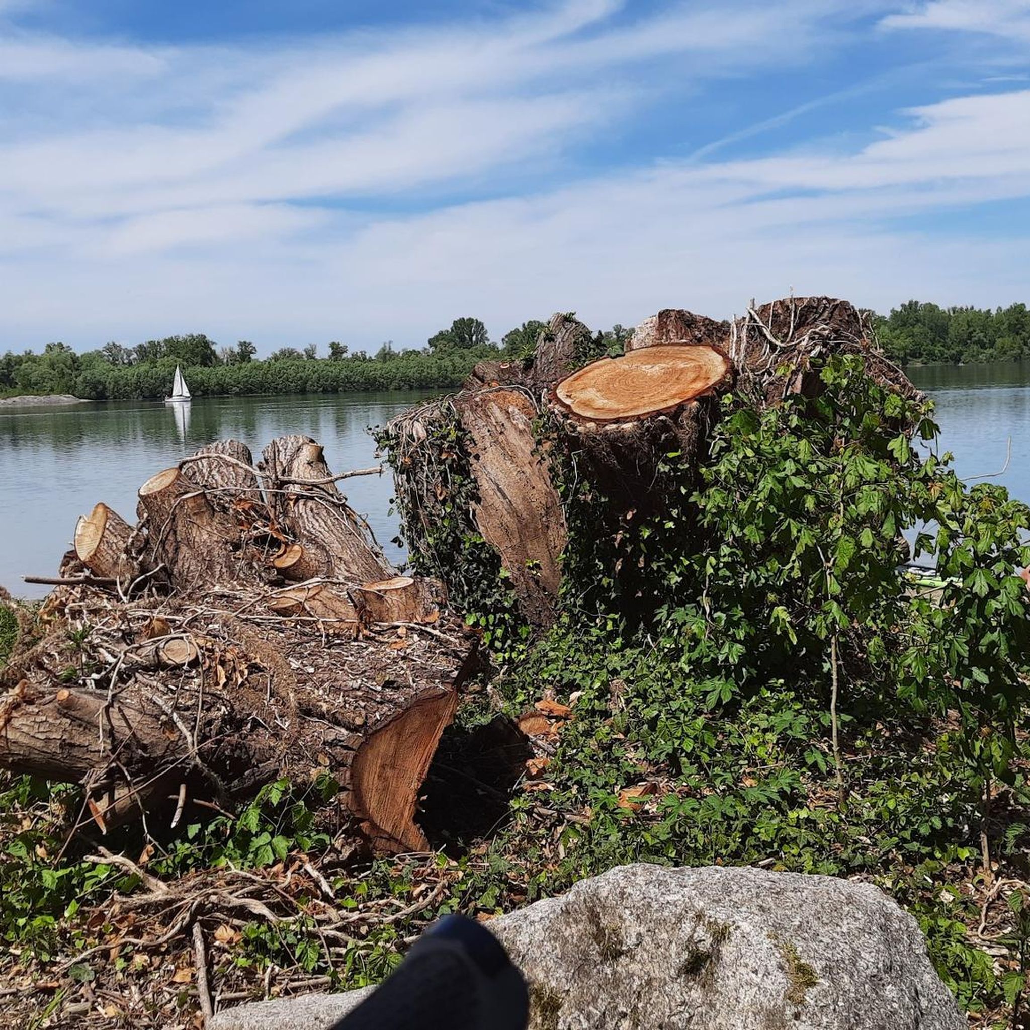
Beautiful sandy beach - good for swimming here, if the beach isn't underwater due to high water levels 😉
3
0
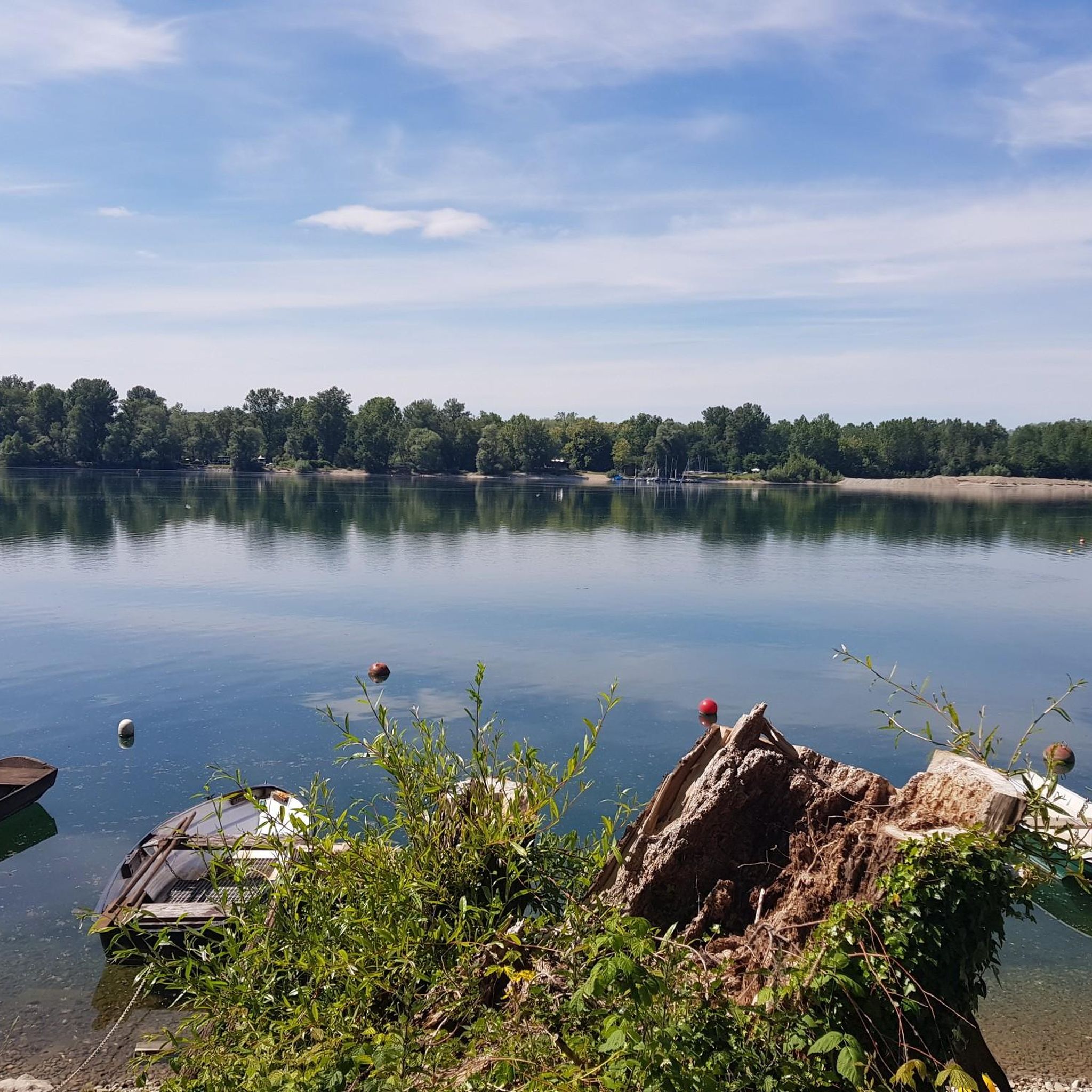
Beautiful lake in the nature reserve, where dredging has not taken place since 2004. A small path leads around the lake. Not recommended during or after heavy rain, as it gets quite muddy and the fords (connections between the lake and the Goldkanal) are then no longer passable with dry feet.
4
0
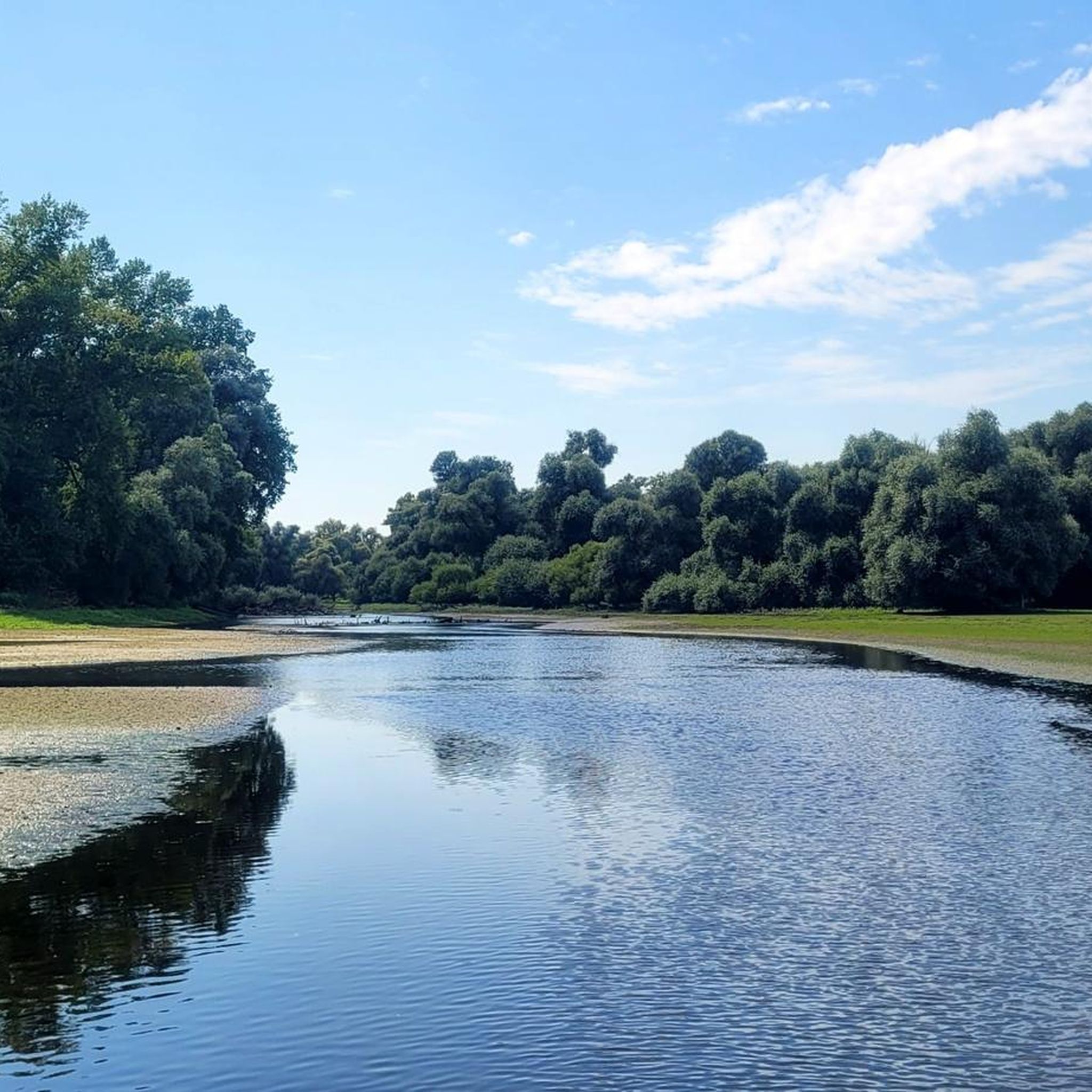
The largest of several connections between the Illinger Baggersee and the Goldkanal. Mostly crossable with dry feet. Very beautiful views in both directions.
4
0
Small bridge on the main path with beautiful views of the water-rich Rhine floodplains on both sides.
4
0
Small island in the Gold Canal, the eye-catcher is a red house on the island. No reliable information about this island could be found online.
4
0
Since 1990, designated nature reserve on the municipal areas of Illingen and Au am Rhein. Large Rhine floodplains, a gravel pit lake, and many nesting sites for birds.
3
0

The 285.5-hectare area of Au am Rhein and Elchesheim-Illingen has been designated a nature reserve under identification number 2.134 since December 19, 1990. It is the largest section of the old Rhine channel in the transition zone between the bifurcation and meandering areas. The reserve extends west and northwest of the town of Illingen, directly along the westward-flowing Rhine. The Illingen gravel pit lake is located within the reserve.
2
0

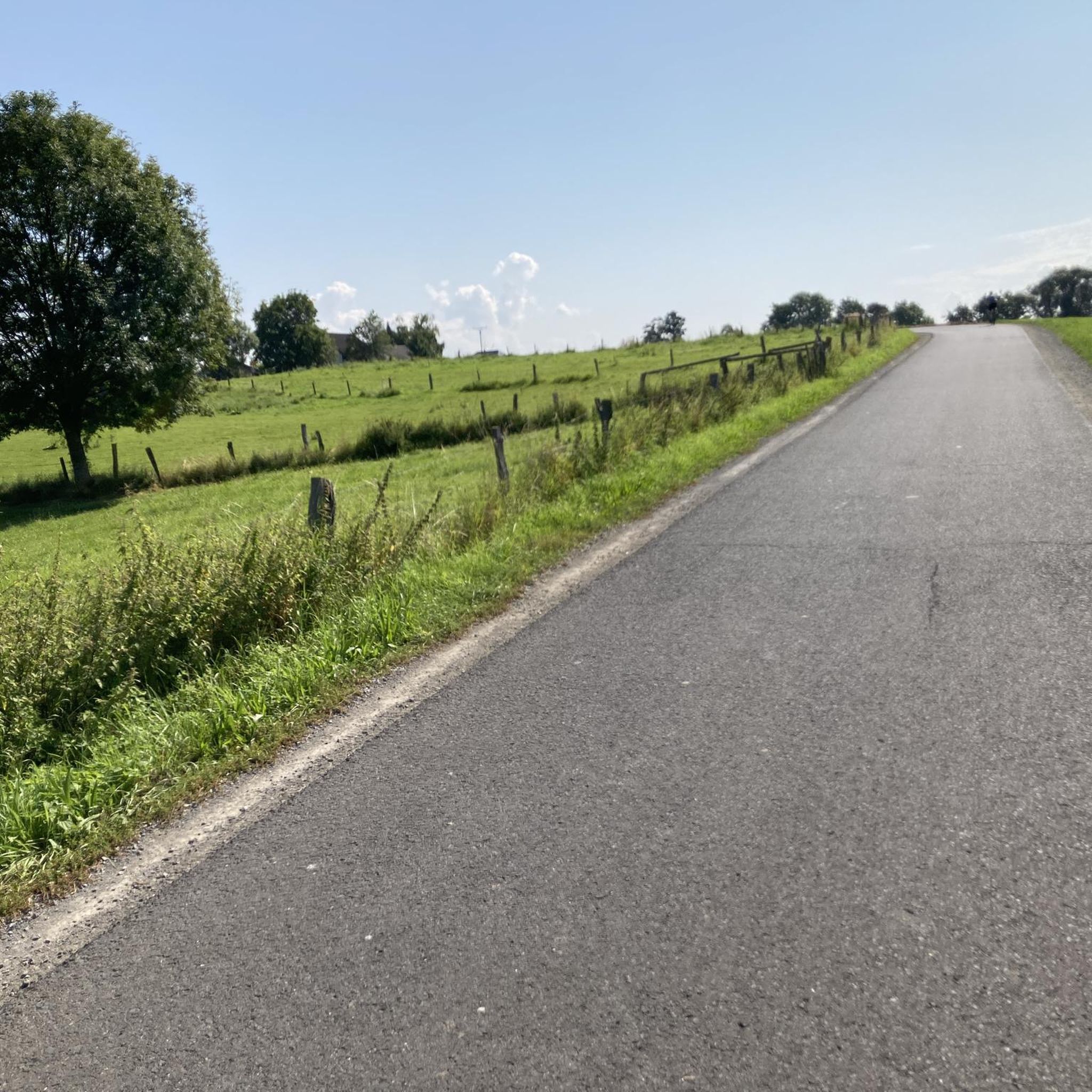
If you don't like the route, just stay on the parallel cycle path.
4
1
Frequently Asked Questions
How many hiking trails are there to explore around Goldkanal?
The Goldkanal region offers a comprehensive network of over 400 hiking trails. These routes primarily feature flat terrain and are often found alongside water bodies like the Goldkanal lake and the Rhine River, making them accessible for various activity levels.
What kind of terrain can I expect on hikes in Goldkanal?
Hiking trails around Goldkanal are characterized by their low-lying, flat terrain with minimal elevation changes. You'll find many paths along lake shores and riverine landscapes, passing through riparian zones and open areas, which makes them suitable for relaxed walks.
Are there any easy hiking routes suitable for beginners in Goldkanal?
Yes, Goldkanal is ideal for beginners, with over 300 easy routes. A great option is the Goldkanal Beach – Sandy Beach at Goldkanal loop from Elchesheim-Illingen, an easy 1.9-mile (3.1 km) path that provides access to the sandy shores.
Are there any circular walks around Goldkanal?
Many routes in Goldkanal are designed as circular walks. For instance, the popular Illinger Baggersee – South Shore of Goldkanal loop from Silberweidenwald Steinmauern is a 3.5-mile (5.7 km) loop offering views of the lake and wooded areas. Another option is the Illinger Baggersee loop from Elchesheim-Illingen, a 2.2-mile (3.6 km) trail through lakeside environments.
What are the best places to see or landmarks along the hiking trails?
Along the trails, you can explore several interesting spots. Highlights include the South Shore of Goldkanal, the Goldkanal Beach, and the Illinger Quarry Lake and Gold Canal. You might also encounter the Old Oak Tree, a notable natural monument.
Is Goldkanal a good destination for family-friendly hikes?
Absolutely. The flat and accessible terrain with minimal elevation changes makes Goldkanal an excellent choice for families. Many routes are short and easy, perfect for walks with children. The presence of sandy beaches, like those accessible via the Goldkanal Beach loop, adds to the family appeal.
Are dogs allowed on the hiking trails in Goldkanal?
Generally, dogs are welcome on the hiking trails around Goldkanal. Given the natural, open landscapes and waterside paths, it's a popular area for dog owners. However, always keep your dog on a leash, especially near wildlife or in designated protected areas, and be mindful of other hikers and local regulations.
What do other hikers enjoy most about Goldkanal?
The Goldkanal area is highly rated by the komoot community, with an average score of 4.4 stars from over 1500 reviews. Hikers often praise the serene waterside paths, the flat and easy-to-navigate terrain, and the opportunity to enjoy nature without significant climbs.
What is the best time of year to hike in Goldkanal?
Goldkanal is enjoyable throughout much of the year. Spring and autumn offer pleasant temperatures and beautiful scenery with changing foliage or blooming nature. Summer is also popular, especially for enjoying the lakes, though it can be warmer. Winter hiking is possible, but some paths might be muddy or icy, so check local conditions.
Are there options for public transport to reach trailheads in Goldkanal?
While specific public transport connections to every trailhead can vary, the Goldkanal region, particularly areas like Elchesheim-Illingen and Steinmauern, is generally accessible by local bus services. It's advisable to check regional public transport schedules for the most up-to-date information on routes and stops near your chosen starting point.
Where can I find parking for hiking trails in Goldkanal?
Parking is generally available at various access points and villages surrounding the Goldkanal, such as Elchesheim-Illingen and Steinmauern. Look for designated parking areas near popular trailheads or lakeside access points. Some areas may have small, informal parking spots, especially near recreational zones.
Most popular routes around Goldkanal
Most popular attractions around Goldkanal

Get inspired with the komoot mobile app


Explore more
Browse the best Hikes in other regions.
