The best mountain hikes around Embalse de Bramatuero Bajo
4.7
(18)
155
hikers
6
hikes
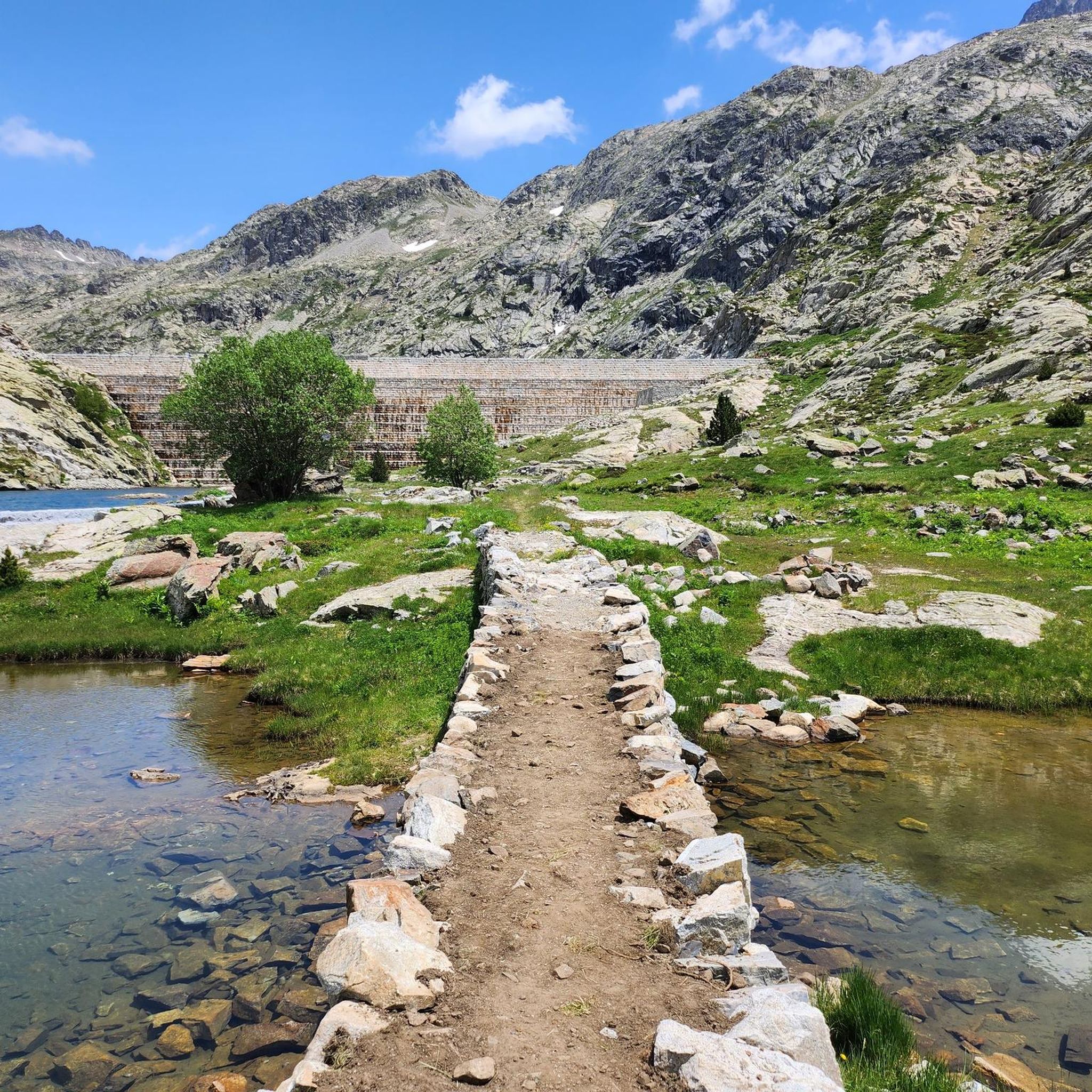
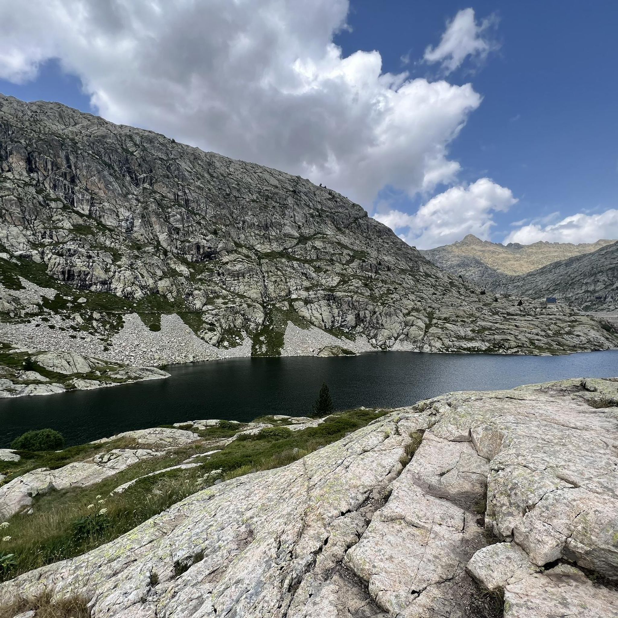
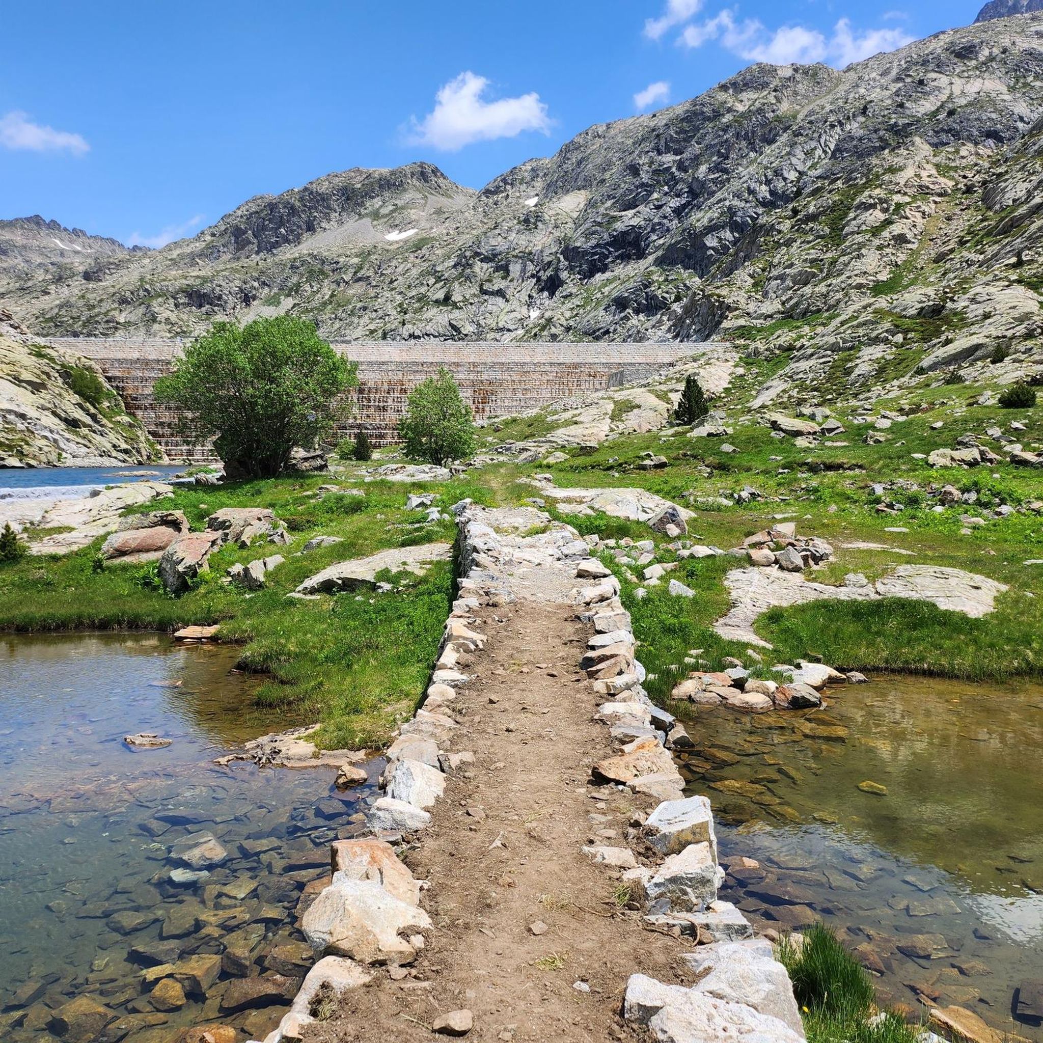
Mountaineering routes around Embalse de Bramatuero Bajo navigate a high-alpine landscape characterized by rugged peaks, glacial lakes (Ibones), and deep valleys carved by rivers like the Río Caldarés. The terrain features significant elevation changes, with routes often leading to mountain refuges and challenging summits. This region offers demanding ascents and descents through rocky and exposed environments.
Best mountaineering routes around Embalse de Bramatuero Bajo
- The most popular mountaineering route is Ibones and Bachimaña Refuge – Garmo Negro loop from Refugio…
Last updated: July 4, 2026
4.0
(1)
8
hikers
14.4km
07:06
1,460m
1,460m
Hard mountaineering route. Very good fitness required. Sure-footedness, sturdy shoes and alpine experience required.
5.0
(3)
45
hikers
7.51km
03:36
540m
540m
Hard mountaineering route. Good fitness required. Sure-footedness, sturdy shoes and alpine experience required.

Sign up for free
5.0
(1)
22
hikers
14.3km
07:05
1,050m
1,050m
Hard mountaineering route. Very good fitness required. Sure-footedness, sturdy shoes and alpine experience required.
12
hikers
10.3km
05:30
1,310m
1,310m
Hard mountaineering route. Very good fitness required. Easily-accessible paths. Suitable for all skill levels.
5
hikers
Hard mountaineering route. Very good fitness required. Sure-footedness, sturdy shoes and alpine experience required.
Our route recommendations are based on thousands of hikes, rides, and runs completed by other people on komoot.
Start today with a free account
Your next adventure awaits.
Login or Signup
Popular around Embalse de Bramatuero Bajo
Tips from the Community

The GR10 continues towards the Baysselance refuge.
0
0
At the foot of the giant of the Pyrenees, the Vignemale
0
0

Beautiful view from this elevated hut
0
0

Unfortunately, they do not accept dogs...we arrived at the place soaking wet and they refused entry to our dog.
0
0

The Vignemale is imposing and eye-catching. Its glacier has become so small, its days are unfortunately numbered. This small cirque is very pretty, but getting there still requires good physical condition.
1
0
I went there in August, there was an outside tap for drinking water but after turning it on I only got about half a liter. I wasn't asked inside because it was already quite crowded.
2
0

Here you can have food or stay overnight.
1
0

Located in the Vignemale massif, with a stunning view of the Gavarnie cirque, the Bayssellance refuge is the highest guarded refuge in the Pyrenees, surpassed only by the Tucarroya refuge. It is located on the eastern slope of Hourquette d'Ossoue, at the foot of Vignemale, between the Gavarnie and Ossoue valleys, administratively dependent on the municipality of Gavarnie-Gèdre in the Hautes-Pyrénées department of the Occitanie region. A mandatory base for ascents to Vignemale, it is also a permanent stopover for GR10 or HRP (High Pyrenean Route) traverses.
0
0
Frequently Asked Questions
What is the general difficulty level of mountaineering routes around Embalse de Bramatuero Bajo?
The mountaineering routes around Embalse de Bramatuero Bajo are predominantly challenging. Out of the 10 available routes, 9 are rated as difficult, with only one moderate option. This region is characterized by significant elevation changes and often exposed, rocky terrain, making it best suited for experienced mountaineers.
Are there any circular mountaineering routes in the Embalse de Bramatuero Bajo area?
Yes, several routes around Embalse de Bramatuero Bajo are circular. For example, the popular Ibones and Bachimaña Refuge – Garmo Negro loop from Refugio de los Ibones de Bachimaña offers extensive high-alpine views. Another option is the Baños de Panticosa – Garmo Negro loop from Río Caldarés, which features a substantial ascent to Garmo Negro.
What kind of terrain and natural features can I expect on these mountaineering routes?
The routes navigate a high-alpine landscape featuring rugged peaks, pristine glacial lakes (known as Ibones), and deep valleys carved by rivers like the Río Caldarés. You'll encounter demanding ascents and descents through rocky and often exposed environments, with many routes leading past mountain refuges and towards challenging summits.
What do other mountaineers enjoy most about the routes in Embalse de Bramatuero Bajo?
The area is highly rated by the komoot community, with an average score of 4.5 stars from over 25 reviews. Mountaineers frequently praise the extensive high-alpine views, the stunning glacial lakes, and the challenging nature of the ascents, which offer a true mountaineering experience.
Are there any less crowded mountaineering routes around Embalse de Bramatuero Bajo?
While the region is popular, you might find fewer people on routes that are slightly longer or have higher elevation gains. For a challenging and rewarding experience that might be less frequented than the most popular loops, consider the Ibones and Bachimaña Refuge – Garmo Blanco loop from Río Caldarés, which covers over 17 km.
What is the best season for mountaineering in Embalse de Bramatuero Bajo?
The best season for mountaineering in this high-alpine region is typically from late spring to early autumn (June to September) when snowmelt has largely receded from higher elevations and weather conditions are generally more stable. Outside of these months, winter conditions with snow and ice can make routes significantly more challenging and require specialized equipment and experience.
Are there any family-friendly or easier options for mountaineering in this area?
The routes around Embalse de Bramatuero Bajo are primarily designed for experienced mountaineers, with 9 out of 10 routes rated as difficult. There is only one moderate route available. For families or beginners, it's crucial to choose routes carefully and ensure all participants have appropriate experience and gear for high-alpine conditions.
What should I pack for a mountaineering trip around Embalse de Bramatuero Bajo?
Given the high-alpine and challenging nature of these routes, essential gear includes sturdy mountaineering boots, appropriate layers of clothing for varying weather conditions, waterproof and windproof outerwear, a map and compass or GPS device, sufficient water and food, a first-aid kit, and sun protection. Depending on the season and specific route, ice axe, crampons, and helmet might also be necessary.
Are dogs allowed on the mountaineering trails in Embalse de Bramatuero Bajo?
While many trails in Spain allow dogs, specific regulations can vary, especially in protected high-alpine areas or national parks. It's advisable to check local signage or park authority guidelines before bringing your dog, particularly due to the challenging terrain and potential presence of wildlife or grazing animals.
Where can I find parking for the mountaineering routes?
Many routes in the region, such as those starting from Río Caldarés or Refugio de los Ibones de Bachimaña, typically have designated parking areas nearby. It's recommended to check the specific route details on komoot for information on starting points and available parking facilities before your trip.
Are there any permits required for mountaineering in Embalse de Bramatuero Bajo?
Generally, permits are not required for day hikes on established trails in this region. However, if you plan to stay overnight in mountain refuges, advance booking is usually necessary. Always check for any specific regulations, especially if your route enters a designated natural park or protected area.
Are there any alternative hiking trails near Embalse de Bramatuero Bajo that are less demanding?
While this guide focuses on mountaineering, the broader region often offers a variety of hiking trails with different difficulty levels. If you're looking for less demanding options, you might explore trails around the lower valleys or other nearby areas that are not specifically classified as mountaineering routes.
Most popular routes around Embalse de Bramatuero Bajo

Get inspired with the komoot mobile app


Explore more
Browse the best Mountain Hikes & Routes in other regions.
