The best walks and hikes around Embalse de Bramatuero Bajo
4.4
(1551)
19,378
hikers
65
hikes
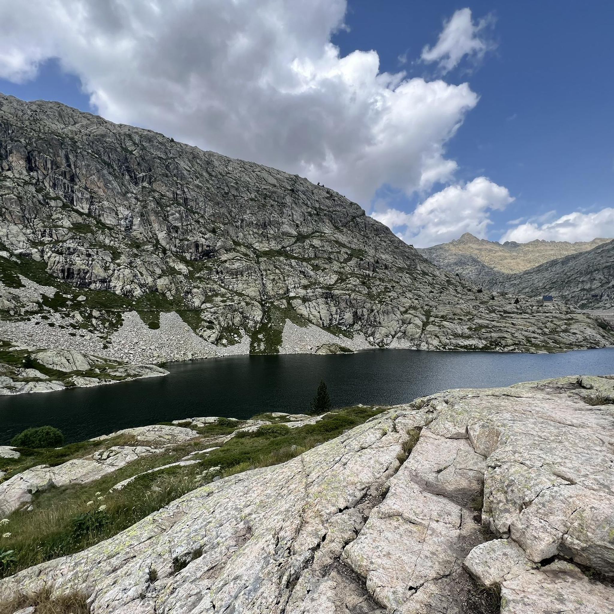
Hiking around Embalse de Bramatuero Bajo offers access to a high-mountain environment characterized by glacial lakes, rugged peaks, and alpine valleys. The region features a landscape shaped by ancient ice, resulting in numerous "ibones" (mountain lakes) and dramatic rock formations. Trails often traverse open terrain above the tree line, providing expansive views of the Pyrenean range. This area is known for its challenging ascents and descents, appealing to experienced hikers.
Best hiking trails around Embalse de Bramatuero Bajo
- The most…
Last updated: October 7, 2026
3.3
(9)
125
hikers
Hard hike. Very good fitness required. Mostly accessible paths. Sure-footedness required.
4.7
(60)
566
hikers
13.2km
04:42
780m
780m
Moderate hike. Good fitness required. Easily-accessible paths. Suitable for all skill levels.

4.1
(10)
243
hikers
14.7km
06:34
1,430m
1,430m
Hard hike. Very good fitness required. Easily-accessible paths. Suitable for all skill levels.
4.6
(38)
239
hikers
4.60km
02:07
470m
470m
Moderate hike. Good fitness required. Easily-accessible paths. Suitable for all skill levels.
4.6
(40)
219
hikers
4.84km
02:12
480m
480m
Moderate hike. Good fitness required. Easily-accessible paths. Suitable for all skill levels.
Get access to more routes and recommendations from other explorers.
Already have an account?
Our route recommendations are based on thousands of hikes, rides, and runs completed by other people on komoot.
Start today with a free account
Your next adventure awaits.
Popular around Embalse de Bramatuero Bajo
Tips from the Community

Unfortunately, they do not accept dogs...we arrived at the place soaking wet and they refused entry to our dog.
0
0

The Bachimaña lakes refuge can accommodate up to 80 people sleeping in rooms with 4 to 12 beds. It also offers drinks and food. It has heating and hot showers and even an infirmary. It is guarded all year round.
2
0

BEAUTIFUL ASCENT FROM THE PANTICOSA SPA WHICH OFFERS A WIDE RANGE OF POSSIBILITIES FOR ASCENTS TO PEAKS OF MORE THAN 3000 M, OTHERS LOWER BUT NO LESS INTERESTING AND SPECTACULAR, VISITS TO NUMEROUS IBONES OF TREMENDOUS BEAUTY, AS WELL AS CIRCULAR ROUTES, TRAVERSES, ETC...
1
0

Along the slopes of the Pico de Argualas where the water that flows down its sides form torrents that go down the valley beyond. At this point and over the years they form ravines as is the case here.
0
0
Waterfall that is located near the Baños de Panticosa and that spits out the waters that come from the Ibones de Ordicuso.
0
0
Beautiful path that winds between the different Picos de los Infiernos and that offer an elevation above the rest. You have to be alert but if you go with all your senses it is not dangerous. Yes, it is necessary to consider it if you have vertices or a fear of heights.
0
0
Small peak that is there before reaching the upper Pico del Infierno, where you can see the path where it is elevated and with slopes on both sides of the ridge.
0
0
The Cascada de Argualas is a waterfall of the tributary of the barranco de Argualas and it is just before reaching the Ibón de los Baños.
0
0
Frequently Asked Questions
How many hiking trails are available around Embalse de Bramatuero Bajo?
There are over 60 hiking trails in the Embalse de Bramatuero Bajo area. These routes range from moderate loops around glacial lakes to challenging ascents to prominent peaks, catering to various experience levels.
What is the best time of year to hike around Embalse de Bramatuero Bajo?
The best time for hiking around Embalse de Bramatuero Bajo is typically from late spring to early autumn (June to September). During these months, the snow has usually melted from higher elevations, and the weather is more stable, offering ideal conditions to explore the high-mountain environment and glacial lakes.
Are there any easy or beginner-friendly hiking routes in the area?
While the region is known for its challenging terrain, there are a few easier options. For instance, the Ibones d'Ordicuso – semi-circular from Baños de Panticosa is a moderate 4.6 km route that offers a taste of the alpine landscape without extreme difficulty. Most trails, however, are moderate to difficult.
Are there any circular walks around Embalse de Bramatuero Bajo?
Yes, many routes in the area are circular, allowing you to return to your starting point without retracing your steps. A popular option is the Infiernos, Blue Lakes, and Bachimaña Loop Trail, an 8.2-mile (13.2 km) route that takes you through high-altitude lakes and mountain passes.
What kind of terrain can I expect on the hiking trails?
Hikers can expect a high-mountain environment characterized by rugged peaks, alpine valleys, and numerous glacial lakes (ibones). Trails often traverse open terrain above the tree line, featuring rocky paths, challenging ascents, and descents. The landscape is shaped by ancient ice, offering dramatic rock formations and expansive Pyrenean views.
Is it possible to reach the hiking trails by public transport?
Access to the high-mountain trails around Embalse de Bramatuero Bajo is generally limited by public transport. Most trailheads, especially those leading to the more remote ibones, require private vehicle access. Some lower-lying villages or access points might have seasonal bus services, but planning for car access or local taxi services is advisable for flexibility.
Are there any long-distance hiking opportunities in this region?
The Embalse de Bramatuero Bajo area is part of the larger Pyrenean range, offering connections to long-distance routes. While specific multi-day treks starting directly from the reservoir might require linking several routes, the challenging terrain and network of trails provide ample opportunity for extended, demanding hikes for experienced trekkers.
What do other hikers enjoy most about the trails around Embalse de Bramatuero Bajo?
The area is highly rated by the komoot community, with an average score of 4.5 stars from over 1200 reviews. Hikers frequently praise the stunning high-alpine scenery, the abundance of crystal-clear glacial lakes (ibones), and the sense of wilderness. Many appreciate the challenging nature of the trails, which reward with breathtaking panoramic views.
Are there any specific trails that feature multiple lakes?
Yes, the region is famous for its glacial lakes. The Lake Bachimaña – Lower Blue Ibón loop from Refugio de los Ibones de Bachimaña is a prime example, circling prominent mountain lakes. Another excellent choice is the Ibones Azules and carena of the Picos del Infierno — circular from Baños de Panticosa, which explores several high-altitude lakes.
Is winter hiking possible around Embalse de Bramatuero Bajo?
Winter hiking in Embalse de Bramatuero Bajo is possible but requires significant experience, proper equipment (such as snowshoes or crampons), and knowledge of avalanche safety. The high-mountain environment becomes much more challenging with snow and ice, and many trails may be inaccessible or dangerous. It is best suited for experienced winter mountaineers.
Are the hiking trails around Embalse de Bramatuero Bajo suitable for families with children?
Due to the challenging nature of the terrain, with many routes featuring significant elevation gain and rocky paths, most trails around Embalse de Bramatuero Bajo are not ideal for young children or families seeking easy strolls. However, families with older, experienced children who are accustomed to strenuous hikes might find some moderate routes enjoyable, such as the Lake Bachimaña – Upper Blue Lake loop from Refugio de los Ibones de Bachimaña.
Where can I find parking for the hiking trails?
Parking availability varies depending on the specific trailhead. Many popular starting points, especially those near refuges or access roads, often have designated parking areas, though these can fill up quickly during peak season. It is advisable to research the specific trailhead for your chosen route to confirm parking options and any potential fees.
Most popular routes around Embalse de Bramatuero Bajo

Get inspired with the komoot mobile app


Explore more
Browse the best Hikes in other regions.
