The best walks and hikes around Lac du Portillon
4.6
(1287)
15,614
hikers
82
hikes
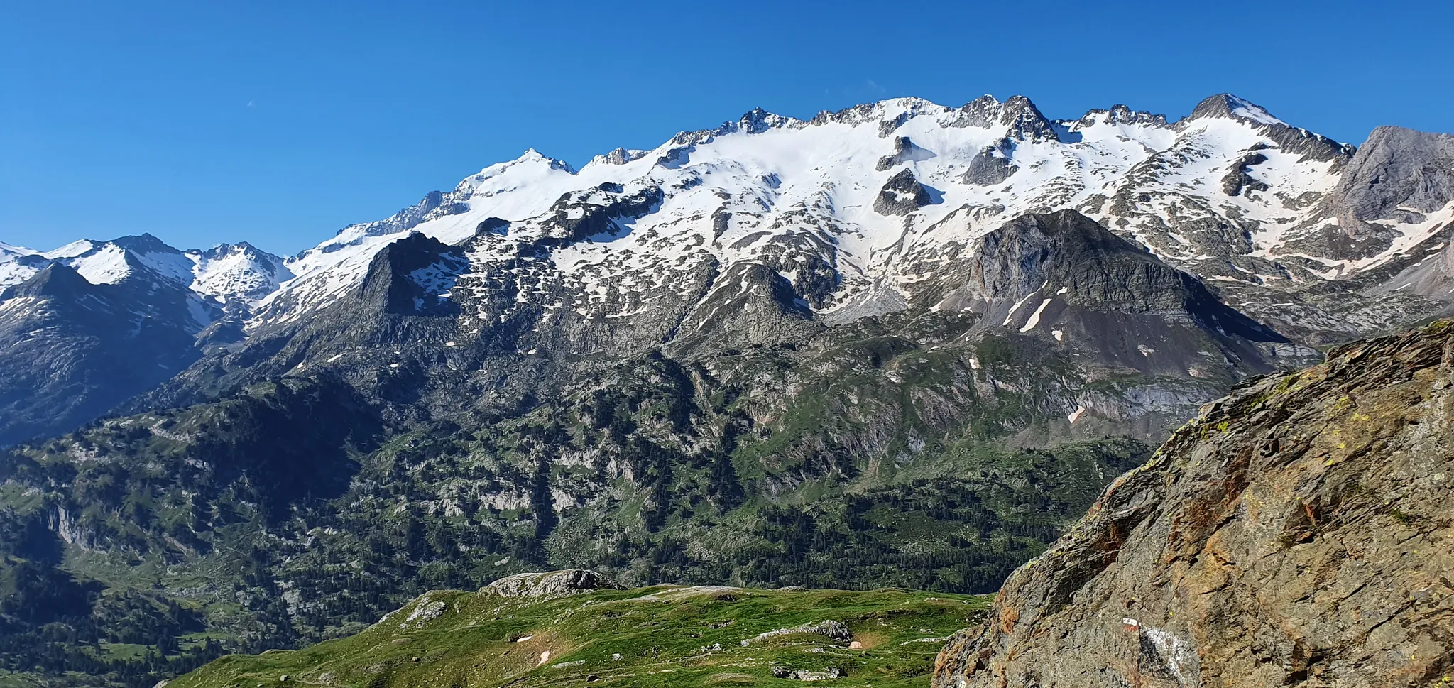
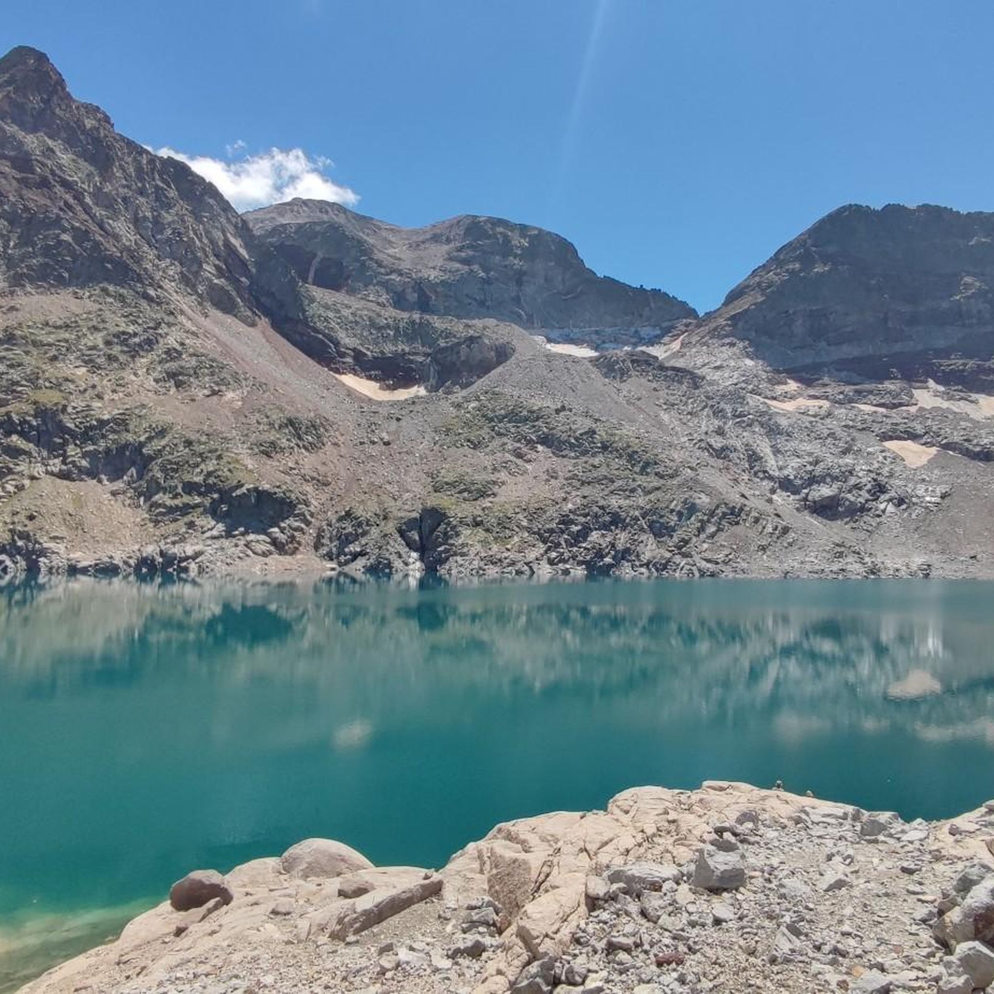
Hiking around Lac du Portillon offers access to a high-mountain environment in the French Pyrenees, situated at an elevation of 2,580 meters. The region is characterized by dramatic mountainous terrain, featuring high-altitude lakes, waterfalls, and towering peaks over 3,000 meters. Trails transition from forest paths and green cirques to more mineral, rocky landscapes as they ascend. The lake itself is fed by remnants of glaciers and is overlooked by summits like Pic de Perdiguère.
Best hiking trails around Lac du…
Last updated: May 23, 2026
18
hikers
6.50km
04:24
650m
650m
Hard hike. Good fitness required. Sure-footedness, sturdy shoes and alpine experience required.
9
hikers
4km
02:48
420m
430m
Hard hike. Good fitness required. Sure-footedness, sturdy shoes and alpine experience required.

Sign up for free
5.0
(1)
77
hikers
8.71km
04:17
640m
630m
Moderate hike. Good fitness required. Mostly accessible paths. Sure-footedness required.
5.0
(1)
62
hikers
5.21km
02:40
410m
420m
Moderate hike. Good fitness required. Mostly accessible paths. Sure-footedness required.
5.0
(2)
8
hikers
12.3km
06:25
990m
1,000m
Hard hike. Very good fitness required. Sure-footedness, sturdy shoes and alpine experience required.
Get access to more routes and recommendations from other explorers.
Sign up for free
Already have an account?
Our route recommendations are based on thousands of hikes, rides, and runs completed by other people on komoot.
Start today with a free account
Your next adventure awaits.
Login or Signup

Other adventures around Lac du Portillon

Tips from the Community

Splendid view of the surrounding peaks.
0
0


The pass lies on the Spanish-French border at 2,983 meters. On the French side lies the Refuge du Portillon, and on the Spanish side, it leads to the Hospital de Benasque.
1
0
There is a camping option behind the hut. Hot meals and drinks can be ordered. Dinner and breakfast must be reserved.
1
0

We pitched our tent at Lake D'Espingo. Note: The horses will come to the tents. So stay high enough. We saw several people with small tents pack up everything and return.
0
0


Hike to the stunning Lac d’Oô, a beautiful glacial lake nestled in the Pyrenees. As you approach the lake, you’ll be treated to breathtaking views of its clear, turquoise waters, surrounded by sheer cliffs and lush forest. The hike is moderately challenging, with rocky paths leading to a perfect viewpoint where the lake and surrounding peaks create a truly picturesque scene. Take some time to appreciate the tranquility of the area, where you can also catch a glimpse of the impressive Oô waterfall cascading down the mountainside.
0
0

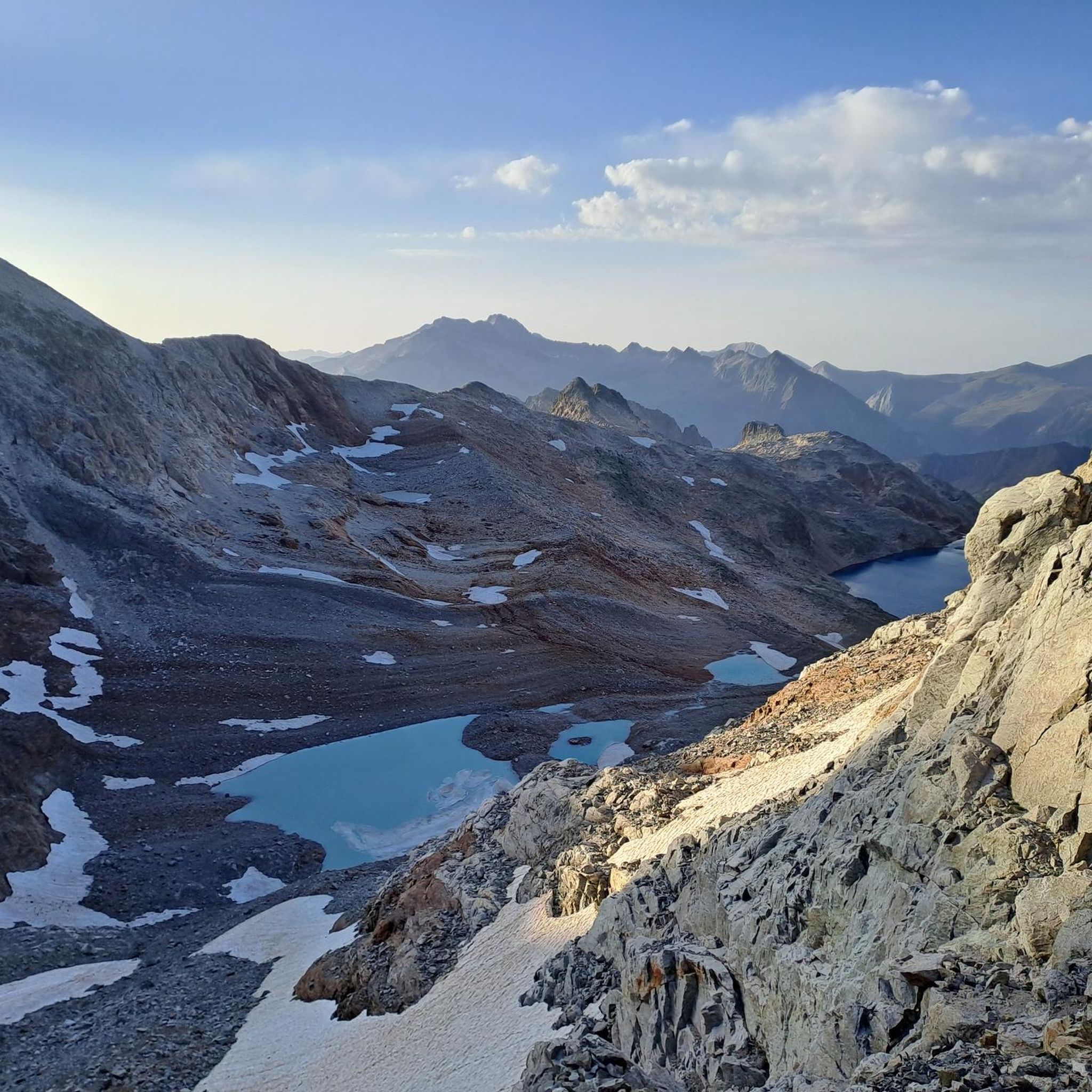
Very beautiful hike starting from the Portillon refuge. Between 300 and 400m of elevation gain to reach this belvedere at 2880m which offers an exceptional panorama of the Ôo valley. Be careful to follow the trail to avoid the complicated and dangerous scree slopes. From 2h30 to 3h round trip to the refuge.
0
0
Frequently Asked Questions
What kind of hiking trails can I expect around Lac du Portillon?
The region offers a diverse range of trails, transitioning from lush forest paths and green cirques at lower elevations to more mineral, rocky terrain as you ascend. You'll find routes catering to various abilities, from moderate ascents to challenging high-mountain traverses, often leading to stunning high-altitude lakes and dramatic peaks.
How many hiking routes are available in the Lac du Portillon area?
There are over 80 hiking routes documented around Lac du Portillon, offering a wide variety of experiences. This includes 6 easy trails, 33 moderate trails, and 42 difficult trails, ensuring options for different skill levels and preferences.
Are there any family-friendly hiking options near Lac du Portillon?
While many trails in the immediate high-mountain area are challenging, some of the lower elevation routes, particularly those leading to the initial lakes like Lac d'Oô, can be more suitable for families. These often feature less elevation gain and offer beautiful scenery without the extreme difficulty of the higher peaks.
What are some notable natural features or landmarks to see while hiking?
The area is rich in natural beauty. You'll encounter a series of interconnected high-altitude lakes, including the majestic Lac d'Oô with its 275-meter waterfall, followed by Lac d'Espingo and Lac Saussat, before reaching Lac du Portillon. The landscape is also characterized by towering peaks over 3,000 meters, such as Pic de Perdiguère, and exceptionally colorful high-altitude ponds.
Are there any circular hiking routes around Lac du Portillon?
Yes, there are several circular routes that allow you to experience the stunning scenery. For instance, the Lake Saussat – Portillon Refuge loop from Grand Quayrat is a moderate 8.7 km trail that takes you through varied mountain terrain. Another option is the Portillon Refuge – Lake Portillon loop, which explores the immediate vicinity of the lake and the refuge.
What is the best time of year to hike around Lac du Portillon?
The best time for hiking in the high-mountain environment of Lac du Portillon is typically during the summer months, from late June to early September, when the snow has largely melted and the weather is most stable. Outside of this period, conditions can be challenging due to snow, ice, and rapidly changing weather.
Are there facilities like refuges available along the trails?
Yes, the area is well-equipped with several mountain refuges that provide essential services like accommodation and catering. Notable refuges include the Refuge du Portillon (also known as Jean Arlaud), the Refuge d'Espingo, and the Refuge du Lac d'Oô. These make multi-day treks feasible and offer convenient rest stops.
What do other hikers enjoy most about the trails in Lac du Portillon?
The area is highly rated by the komoot community, with an average score of 4.6 stars from over 1200 reviews. Hikers frequently praise the dramatic high-mountain landscapes, the challenging nature of the trails, and the stunning views of the interconnected lakes and towering peaks.
Can I bring my dog on the hiking trails around Lac du Portillon?
While many areas in the Pyrenees are dog-friendly, specific regulations can vary, especially within national park zones or protected areas. It's always advisable to check local signage and park rules regarding dogs, particularly concerning leash requirements and areas where dogs might be restricted to protect wildlife or livestock.
Are there any challenging routes for experienced hikers?
Absolutely. Lac du Portillon is a hub for challenging high-mountain traverses. A prime example is the Portillon Refuge – Perdiguero Peak loop, a difficult 6.4 km trail that offers breathtaking views of the surrounding 3,000-meter peaks and is a significant stepping stone for mountaineers.
Is public transport available to reach the starting points of the hikes?
Access to the high-mountain trails around Lac du Portillon often requires reaching specific valley towns or trailheads. While some larger towns in the Pyrenees may have public transport links, direct public transport to the remote starting points for these high-altitude hikes is generally limited. It's often necessary to use a personal vehicle or arrange for local transport to reach the trailheads.
Where can I find parking for hiking near Lac du Portillon?
Parking is typically available at the main trailheads leading into the valleys that access the Lac du Portillon area, such as near Lac d'Oô or other popular starting points. These parking areas can fill up quickly during peak season, so arriving early is recommended. Always check for any parking fees or restrictions upon arrival.
Most popular routes around Lac du Portillon

Get inspired with the komoot mobile app


Explore more
Browse the best Hikes in other regions.
