The best running trails around Wimborne St. Giles
4.7
(59)
5,447
runners
353
runs
Jogging routes Wimborne St Giles traverse the scenic Dorset countryside, characterized by diverse landscapes within the wooded valley of the River Allen. The region is situated on the Cranborne Chase, an Area of Outstanding Natural Beauty featuring rolling chalk downland and ancient woodlands. Footpaths and bridleways offer varied terrain, from gentle slopes along river meadows to more challenging ascents across open downland. St Giles Park, with its expansive grounds and historic beech avenues, also provides extensive running opportunities.
Best jogging…
Last updated: July 1, 2026
32
runners
21.4km
02:26
320m
320m
Hard run. Very good fitness required. Mostly accessible paths. Some sure footedness required.
5.0
(1)
25
runners
5.62km
00:38
60m
60m
Moderate run. Good fitness required. Mostly paved surfaces. Suitable for all skill levels.

Sign up for free
4.6
(10)
29
runners
9.84km
01:01
40m
40m
Moderate run. Good fitness required. Mostly paved surfaces. Suitable for all skill levels.
8
runners
5.57km
00:37
30m
30m
Moderate run. Good fitness required. Mostly paved surfaces. Suitable for all skill levels.
12
runners
9.03km
00:58
50m
50m
Moderate run. Good fitness required. Mostly paved surfaces. Suitable for all skill levels.
Get access to more routes and recommendations from other explorers.
Sign up for free
Already have an account?
Our route recommendations are based on thousands of hikes, rides, and runs completed by other people on komoot.
Start today with a free account
Your next adventure awaits.
Login or Signup
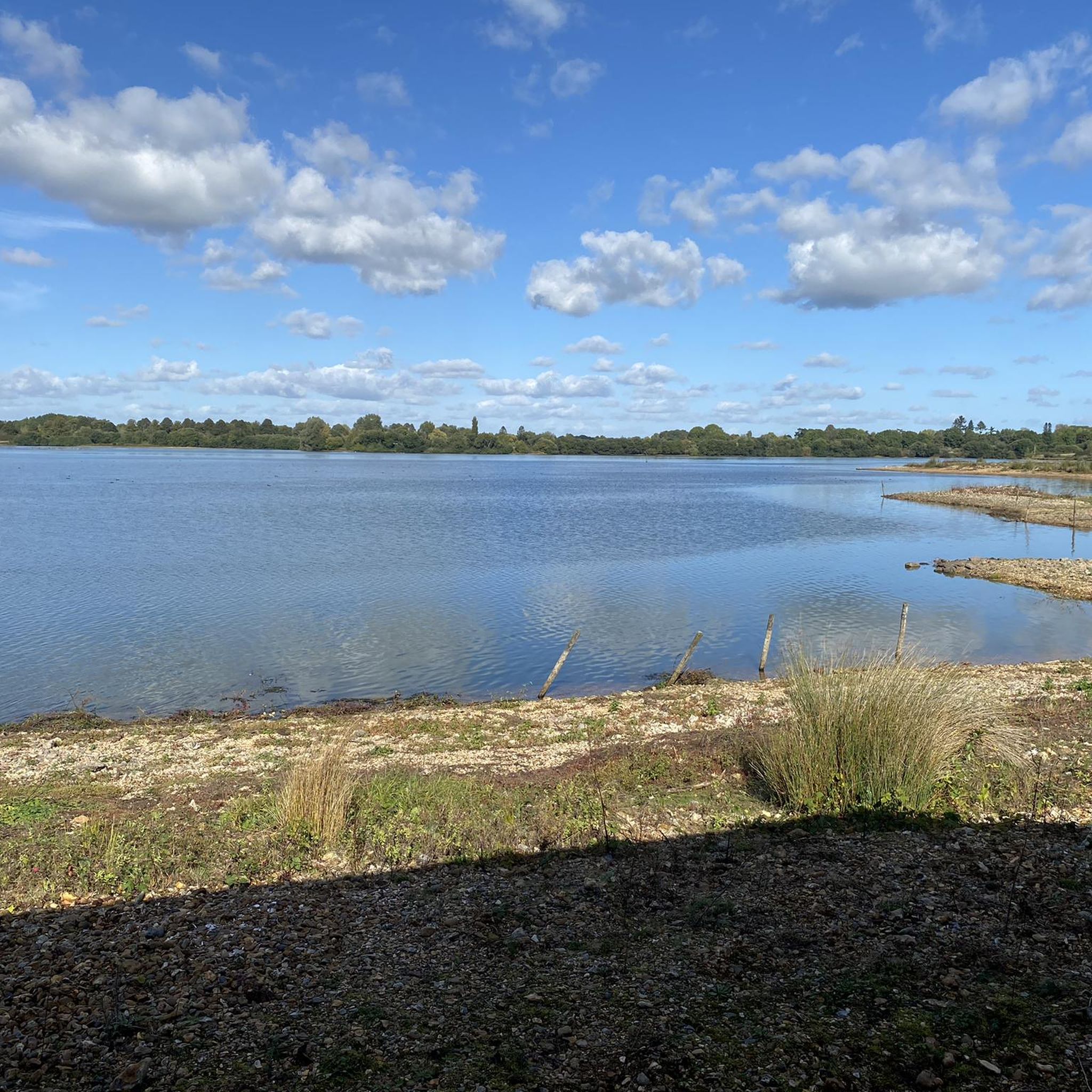
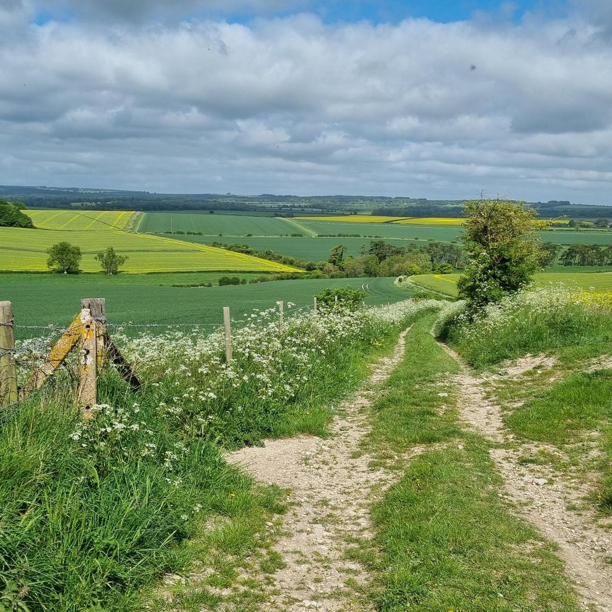
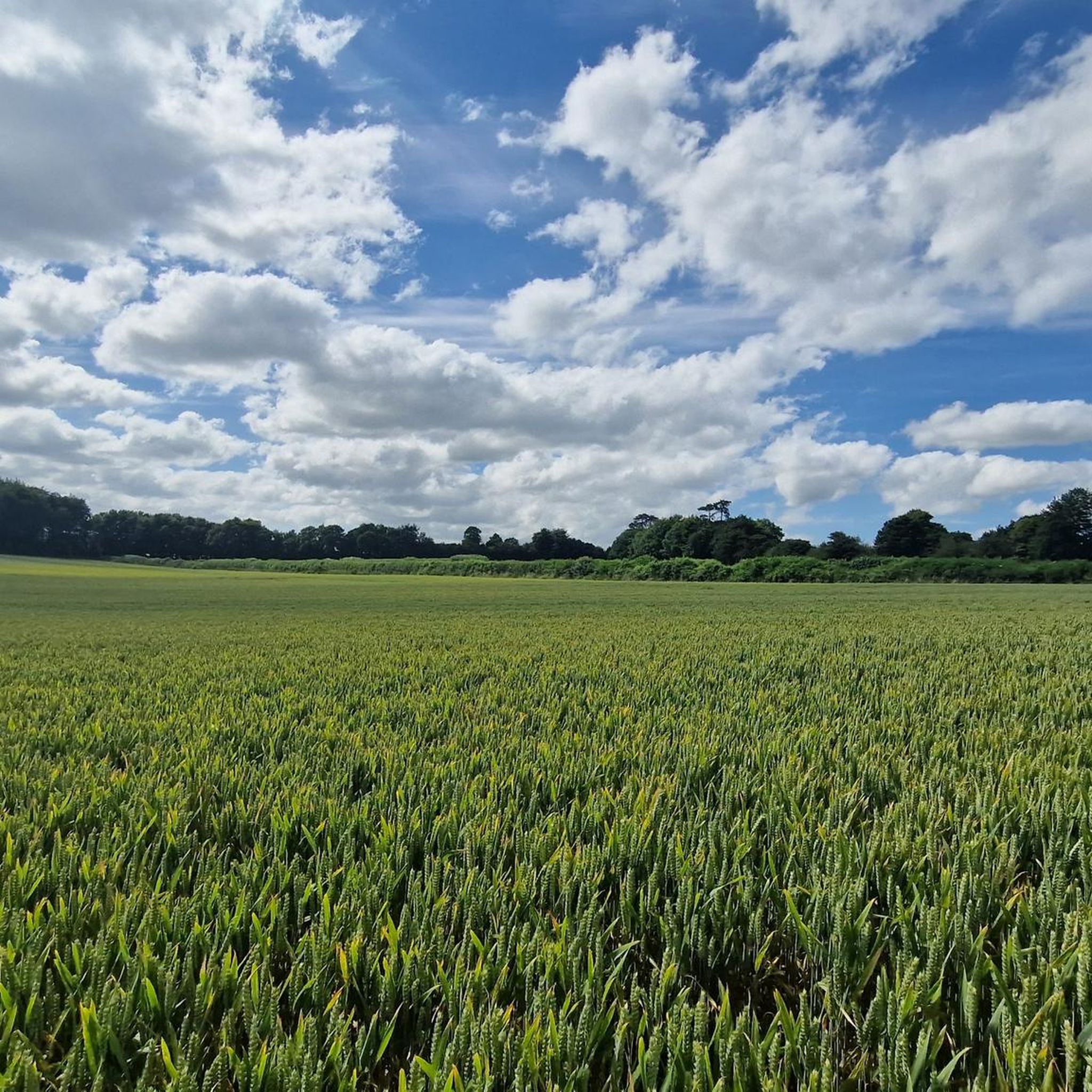
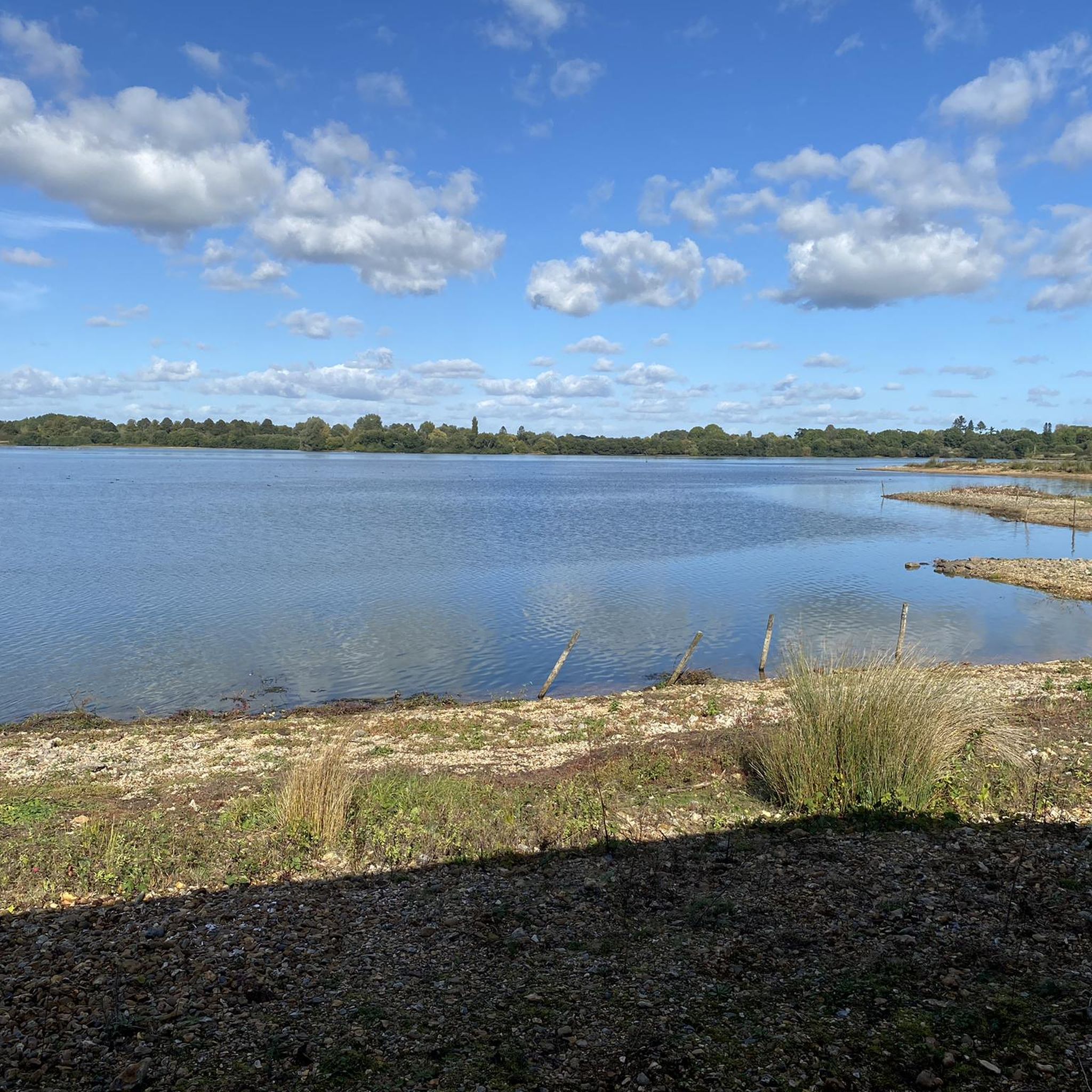

Tips from the Community

there's a few ways to climb here, all rewarding
0
0

Bokerley Dyke is a substantial linear earthwork, approximately 5.75 kilometers (3.6 miles) long, located on Cranborne Chase. It runs along part of the border between Dorset and Hampshire, specifically between Woodyates and Martin. It is part of a larger Scheduled Monument that also includes Grim's Ditch and other earthworks. The dyke has a multi-period history. It is believed to have originated in the Bronze Age or Early Iron Age as an important political and cultural boundary. In the 1st century, it was cut through by a Roman road, Ackling Dyke, which ran between Old Sarum and Badbury Rings. In the 4th century, the dyke was remodeled and brought back into use. During this period, the Roman road was blocked. A coin of Valens found during excavations dates this activity to shortly after 364 AD, with some sources suggesting it was built between 367-368 AD. This remodeling may have been a defensive measure against attacks on Britain by Picts, Scots, and Saxons. The Roman road was eventually reopened, but the dyke may have continued to be used as a boundary after the Roman administration ended. Today, it still forms part of the border between the counties of Dorset and Hampshire.
0
0

Love this place the views there are amazing cranborne to one side and Pentridge to the otherside
1
0

An ‘off the beaten track’ tranquil footpath through mixed woodland. Good path surface throughout.
1
0

Pentridge Hill has a trig point which is a little off the track in the woods at Penbury Knoll. It's at 185 m, so the view from the ridge is stunning, classic Dorset countryside, especially to the south. The trails here aren't that technical but they are quiet and fun.
0
0

Verwood is a relatively small town in East Dorset, which is famous for the potteries which used the local clays. At the height of the town's pottery industry, there were over 30 kilns, however the last commercial pottery closed in 1952.
1
0

Pentridge Hill has a trig point which is a little off the track in the woods at Penbury Knoll. It's at 185m, so the view from the ridge is stunning, classic Dorset countryside, especially to the south. The trails here aren't that technical but they are quiet and fun.
0
0
Frequently Asked Questions
How many running routes are available around Wimborne St. Giles?
There are over 350 running routes around Wimborne St. Giles, offering a wide variety of options for different preferences and fitness levels. These include trails through ancient woodlands, along river valleys, and across rolling chalk downland.
Are there running routes for all fitness levels in Wimborne St. Giles?
Yes, the area caters to all abilities. You'll find over 50 easy routes, 255 moderate routes, and 45 more challenging trails. The terrain varies from gentle slopes along river meadows to more demanding ascents across open downland, particularly within the Cranborne Chase Area of Outstanding Natural Beauty.
Where can I find more challenging running trails in the area?
For a more challenging experience, consider routes that venture into the Cranborne Chase, known for its rolling chalk downland and varied terrain. While specific challenging routes aren't highlighted here, the region offers 45 difficult trails. The Win Green Summit, the highest point in Cranborne Chase, offers excellent opportunities for challenging loops with rewarding panoramic views.
Are there any longer distance running options available?
Yes, for longer runs, the Castleman Trailway is an excellent choice. This 16.5-mile route follows a disused railway line, providing a relatively flat and sheltered path through beautiful East Dorset countryside. It's ideal for extended jogs through moorland, rivers, and woodland. Another option is the Wellingtons loop from Woodlands, which is over 10 km long.
Is parking readily available near the running routes?
While specific parking locations aren't detailed for every route, many trails, especially those accessing areas like St Giles Park or the Castleman Trailway, typically have nearby parking facilities. It's advisable to check individual route descriptions on komoot for precise parking information.
Can I bring my dog on the running trails in Wimborne St. Giles?
Many of the public footpaths and bridleways in the Dorset countryside are dog-friendly, making Wimborne St. Giles a great place to run with your canine companion. However, always keep dogs under control, especially near livestock, and be mindful of local signage regarding lead requirements, particularly in nature conservation areas or private estates like St Giles Park.
Are there any family-friendly running routes suitable for children?
Yes, the region offers numerous easy and moderate routes that are suitable for families. The relatively flat sections of the Castleman Trailway are particularly good for families, as are many of the paths within St Giles Park. Look for routes marked as 'easy' on komoot for the most suitable options.
What can I see along the jogging routes in Wimborne St. Giles?
The routes offer a mix of natural beauty and historical interest. You can explore ancient woodlands, tranquil river valleys along the River Allen, and open chalk downland. Notable landmarks include the Win Green Summit with its panoramic views, and sections of the historic Bokerley Dyke. St Giles Park itself features 18th-century landscape structures and a 17th-century beech avenue.
What do other runners enjoy the most about jogging in Wimborne St. Giles?
The running routes in Wimborne St. Giles are highly rated by the komoot community, with an average score of 4.6 stars from over 60 reviews. Runners often praise the diverse and picturesque landscapes, from the peaceful River Allen valley to the expansive Cranborne Chase, and the variety of terrain that keeps runs interesting.
Are there any circular running routes available?
Yes, many of the routes around Wimborne St. Giles are designed as circular loops, offering convenient starting and ending points. For example, the Running loop from Woodlands and the Running loop from Verwood are popular circular options, allowing you to explore the scenery without retracing your steps.
Can I access these running routes using public transport?
Wimborne St. Giles is a rural village, and public transport options may be limited. While there might be local bus services connecting to nearby towns, direct access to all trailheads via public transport can be challenging. It's recommended to check local bus schedules for the specific area you plan to run in, or consider driving to a suitable starting point.
What is the best time of year for running in Wimborne St. Giles?
The Dorset countryside offers beautiful running conditions throughout much of the year. Spring and autumn provide pleasant temperatures and stunning scenery with blooming wildflowers or vibrant foliage. Summer is also popular, though some trails might be more exposed to the sun. Winter runs can be invigorating, but be prepared for potentially muddy conditions on unpaved paths.
Most popular routes around Wimborne St. Giles
Most popular attractions around Wimborne St. Giles

Get inspired with the komoot mobile app


Explore more
Browse the best Running Trails & Routes in other regions.
