The best running trails around Lacs des Hôpitaux
4.8
(7)
447
runners
12
runs
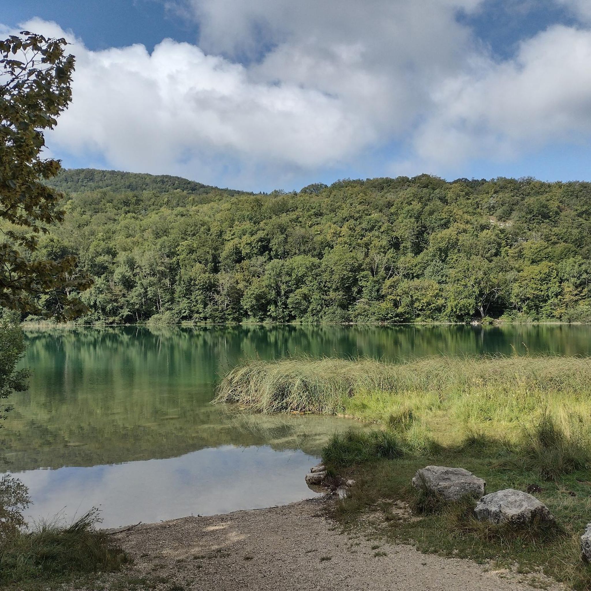
Jogging routes around Lacs des Hôpitaux are set within a serene natural environment in the Ain department of France, characterized by its two crystalline lakes and verdant surroundings. The area, nestled in the Bugey region, features a marshland and the source of the Furans river, recognized for its ecological significance. Trails often traverse forested areas, providing natural surfaces for running, with some routes offering views of the nearby Bugey mountains and Jura massif. The landscape provides varied terrain suitable for…
Last updated: July 1, 2026
5.0
(1)
14
runners
20.7km
02:30
520m
520m
Hard run. Very good fitness required. Mostly paved surfaces. Suitable for all skill levels.
7
runners
5.76km
00:43
120m
120m
Moderate run. Good fitness required. Mostly paved surfaces. Suitable for all skill levels.

Sign up for free
6
runners
18.0km
02:24
620m
610m
Hard run. Very good fitness required. Mostly paved surfaces. Suitable for all skill levels.
3
runners
8.02km
00:51
90m
90m
Moderate run. Good fitness required. Mostly paved surfaces. Suitable for all skill levels.
2
runners
10.9km
01:25
290m
290m
Moderate run. Good fitness required. Mostly paved surfaces. Suitable for all skill levels.
Get access to more routes and recommendations from other explorers.
Sign up for free
Already have an account?
Our route recommendations are based on thousands of hikes, rides, and runs completed by other people on komoot.
Start today with a free account
Your next adventure awaits.
Login or Signup


Tips from the Community

Officially referenced pass and completely passable by road bike!
1
0

The pass, located at an altitude of 1,050 meters, offers you a magnificent view of the Alps and the Rhône valley. Like most of the peaks in this region, it sometimes allows you to see Mont Blanc.
2
0
The pass is located at 1050 m and offers you a magnificent view of the Alps and the Rhone Valley. As with most peaks in this region, Mont-Blanc is sometimes visible from here.
2
0

Very nice view of Mont blanc + a 20 minute walk in the Sportif trail
1
0

The cross is close to a magnificent view of the large dovecote and around
1
0

One of the highest points above Contrevoz. Climbing up the GR was not easy, but was beautiful.
2
0
Frequently Asked Questions
What kind of terrain can I expect on the running trails around Lacs des Hôpitaux?
The running routes around Lacs des Hôpitaux offer a mix of natural surfaces. You'll find trails traversing forested areas, providing a softer surface, alongside paths near the tranquil lake shores and diverse marshlands. The region's proximity to the Bugey mountains and Jura massif also means some routes may feature varied terrain with significant elevation changes.
How many running routes are available in the Lacs des Hôpitaux area?
There are over a dozen dedicated running routes around Lacs des Hôpitaux, catering to various fitness levels. These include moderate loops and more challenging, longer routes with substantial elevation gain.
Are there any challenging running routes for experienced runners?
Yes, experienced runners will find several challenging options. For instance, the Petit Pertuis Pass – La Croix de la Roche loop from Ordonnaz is a difficult 12.9-mile (20.7 km) trail with significant elevation gain, typically taking around 2 hours 30 minutes to complete.
What do other runners say about the trails in Lacs des Hôpitaux?
The running routes in Lacs des Hôpitaux are highly regarded by the komoot community, boasting an average rating of 4.8 stars from over 6 reviews. Runners often praise the serene natural environment, the varied terrain, and the peaceful atmosphere for an enjoyable outdoor experience.
Are there any moderate-difficulty running loops suitable for a pleasant run?
Absolutely. A popular moderate option is the Running loop from Ordonnaz, which is 3.6 miles (5.8 km) long. This route offers a pleasant run through the green setting surrounding the lakes, ideal for a refreshing outing.
What natural features or viewpoints can I expect to see while running?
The area is rich in natural beauty. You'll encounter the crystalline waters of the Lacs des Hôpitaux, diverse marshlands, and the source of the Furans river. Many trails wind through lush forested areas, and some routes, particularly those at higher elevations, offer spectacular views of the nearby Bugey mountains and the Jura massif.
Is there a good running route that offers views of the Bugey region?
Yes, the Le Calvaire loop from Chartreuse Sainte-Marie-des-Portes is an excellent choice. This 11.2-mile (18.0 km) trail leads through forested landscapes and provides scenic views of the broader Bugey region.
Are there any shorter running routes for a quick workout?
For a shorter run, consider the Running loop from Thézillieu. This moderate route is approximately 8 km (5 miles) and offers a good option for a quicker workout while still enjoying the natural surroundings.
What is the best time of year to go running around Lacs des Hôpitaux?
The verdant surroundings and tranquil environment make Lacs des Hôpitaux enjoyable for running throughout much of the year. Spring and autumn offer pleasant temperatures and beautiful scenery with changing foliage. Summer is also popular, though it's advisable to run in the cooler morning or late afternoon hours. Winter can be beautiful, but conditions may vary, especially on higher trails.
Is there parking available near the running trails?
Yes, the Lacs des Hôpitaux site is easily accessible, with a conveniently located parking area, making it simple for visitors to access the outdoor activities and running trails.
Are there any running routes that are particularly suitable for families?
While specific 'family-friendly' routes aren't explicitly highlighted for jogging, the moderate loops, such as the Running loop from Ordonnaz or the Running loop from Thézillieu, with their shorter distances and less extreme elevation, could be suitable for families looking for a pleasant walk or a gentle run together.
Can I bring my dog on the running trails around Lacs des Hôpitaux?
The Lacs des Hôpitaux area is a natural setting, and generally, dogs are welcome on trails, often on a leash. However, specific rules can vary, especially in ecologically sensitive areas like the marshland. It's always best to observe local signage and ensure your dog is under control to protect the diverse fauna and flora of this ZNIEFF-classified site.
Most popular routes around Lacs des Hôpitaux

Get inspired with the komoot mobile app


Explore more
Browse the best Running Trails & Routes in other regions.
