The best mountain hikes around Lac de Montriond
4.8
(17)
112
hikers
19
hikes
Mountaineering around Lac de Montriond offers routes through a landscape shaped by dramatic cliffs, dense forests, and the prominent Roc d'Enfer. Located within the Chablais Geopark, the area features geological formations and varied terrain suitable for challenging ascents. The lake itself, formed by a landslide, sits at 1072 meters, providing a focal point for the surrounding mountainous environment. This region is characterized by significant elevation changes and rugged paths.
Best mountaineering routes around Lac de Montriond
- The most popular mountaineering…
Last updated: October 1, 2026
7
hikers
7.73km
04:09
810m
810m
Hard mountaineering route. Good fitness required. Sure-footedness, sturdy shoes and alpine experience required.
5.0
(1)
4
hikers
4.57km
01:24
160m
160m
Easy mountaineering route. Great for any fitness level. Easily-accessible paths. Suitable for all skill levels.

5.0
(1)
3
hikers
12.1km
05:40
950m
950m
Hard mountaineering route. Very good fitness required. Sure-footedness, sturdy shoes and alpine experience required.
5.0
(1)
4
hikers
13.0km
05:04
870m
870m
Hard mountaineering route. Very good fitness required. Sure-footedness, sturdy shoes and alpine experience required.
6
hikers
11.1km
05:35
1,040m
1,040m
Hard mountaineering route. Very good fitness required. Sure-footedness, sturdy shoes and alpine experience required.
Get access to more routes and recommendations from other explorers.
Already have an account?
Our route recommendations are based on thousands of hikes, rides, and runs completed by other people on komoot.
Start today with a free account
Your next adventure awaits.
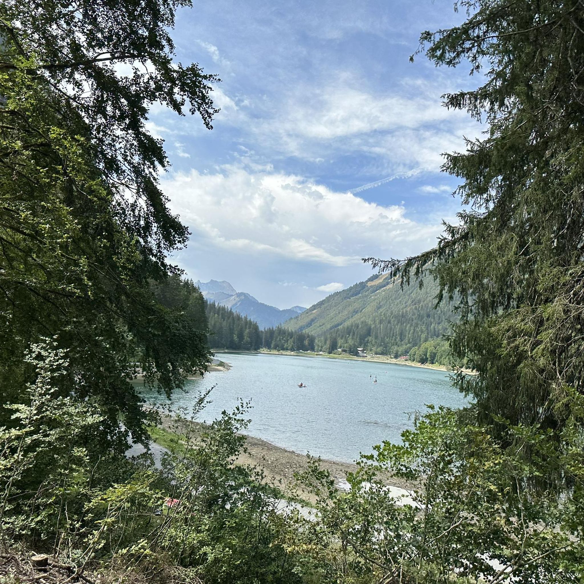
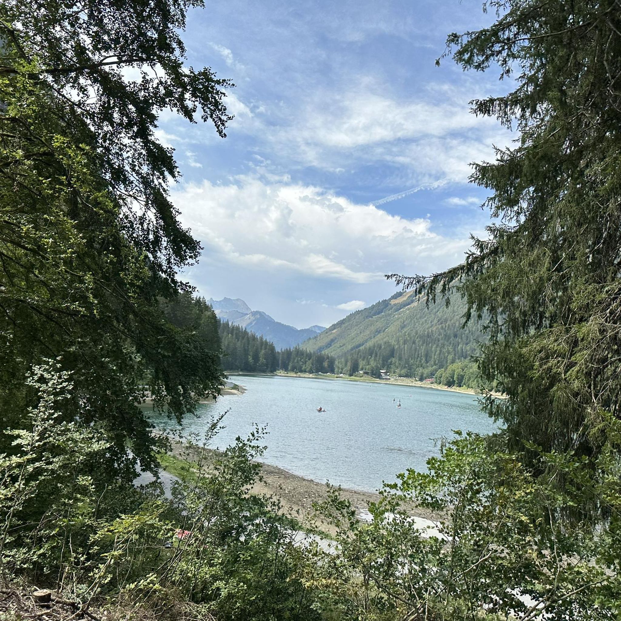
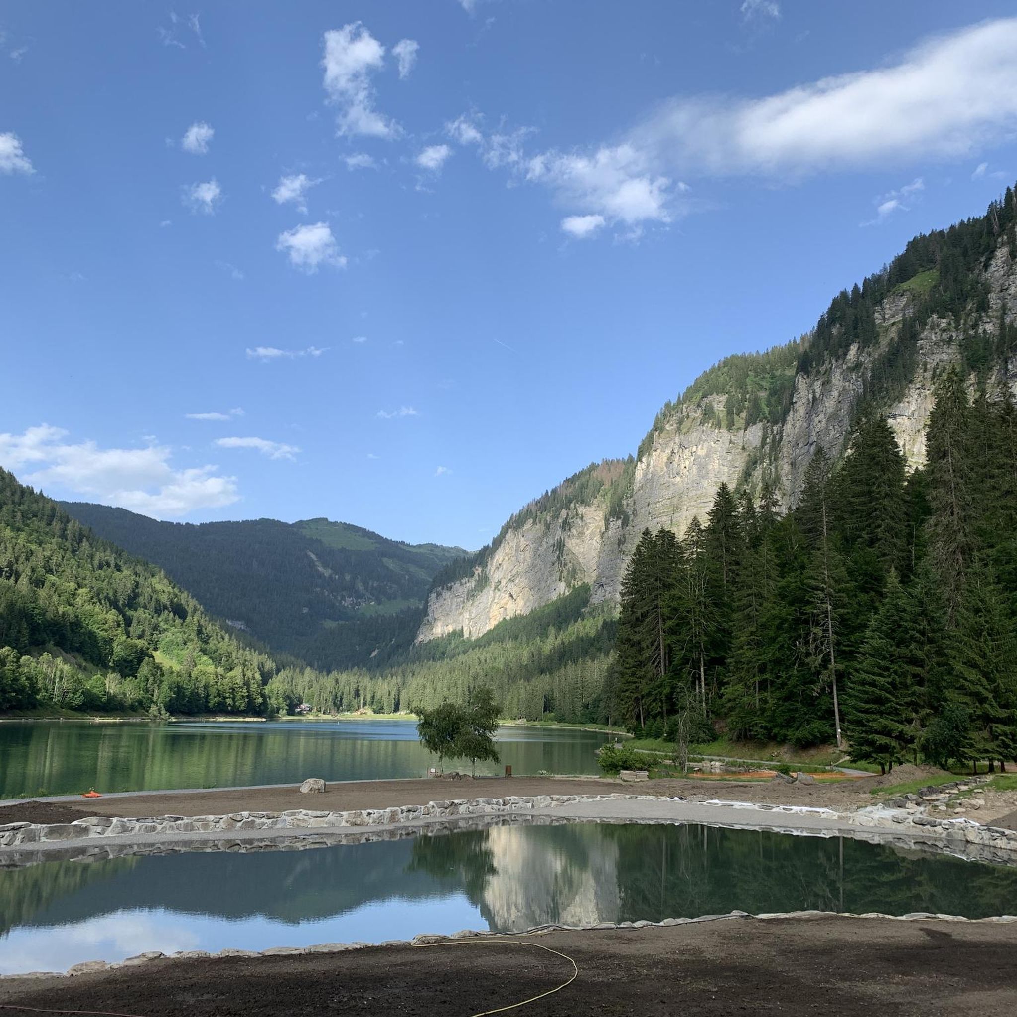
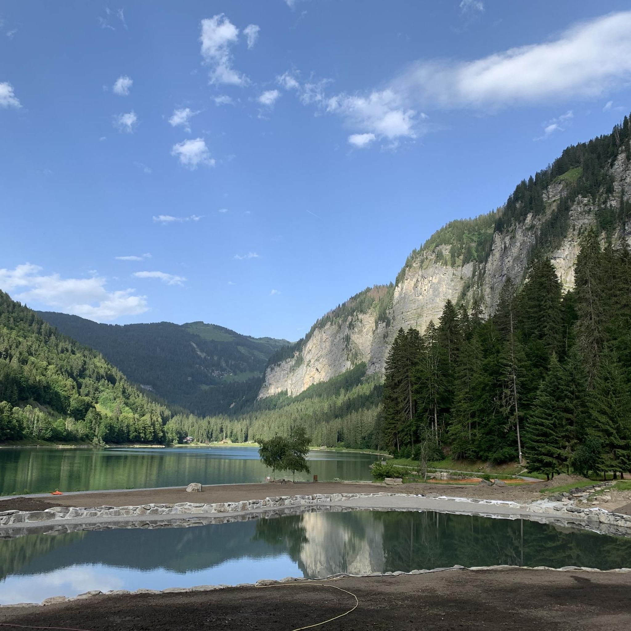

Tips from the Community

Place worth seeing. Never seen anything like it before. Lots of architecture in an unusual style.
0
0

Wonderfully located and with a great view.
0
0

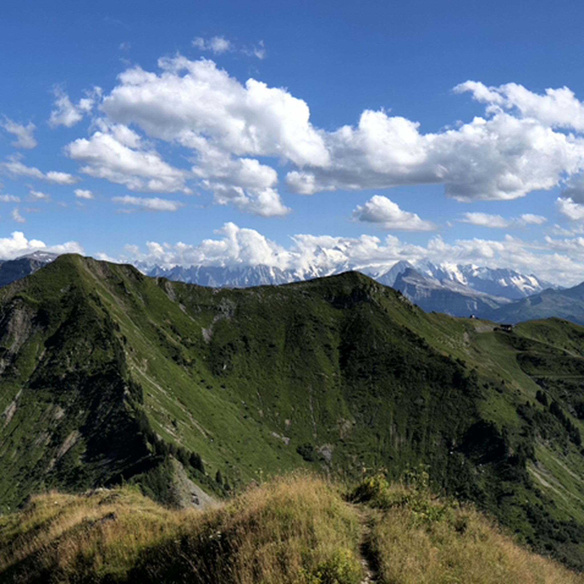
From here, you have a fantastic panoramic view. You can see the Swiss mountains from Dom, across the Matterhorn, to Mont Blanc.
0
0

Beautiful climb with a lovely panorama at the summit.
1
1

A lush green pass, offering excellent views, particularly over the neighboring Lac de Montriond. The pass can be reached in many different ways and offers access to varied and beautiful mountain terrain.
3
0


Be careful on this tour! The path passing the Serranent chalets is closed due to landslides. (Summer 2023)
0
0

Difficult climb from Pré la Joux. Pay attention downhill to the state of the road in the last laces before arriving at the Pré La Joux car park. Magnificent view of the Mont de Grange, Morzine, Châtel.
1
1
Frequently Asked Questions
How many mountaineering routes are available around Lac de Montriond?
There are over 20 mountaineering routes around Lac de Montriond, providing a diverse range of experiences for all skill levels. The komoot community has explored these trails over 100 times.
What are the difficulty levels of mountaineering routes in the area?
The routes around Lac de Montriond cater to various skill levels. While the majority, 16 out of 23, are classified as difficult, there are also 6 moderate routes and 1 easy option available. An example of a challenging route is the Les Hauts Forts loop from Avoriaz, which features significant elevation gain.
What makes mountaineering around Lac de Montriond unique?
Mountaineering around Lac de Montriond is unique due to its dramatic landscape, shaped by towering cliffs and the prominent Roc d'Enfer. The area is part of the Chablais Geopark, offering insights into glacial history and geological formations. The emerald green lake itself, formed by a landslide, provides a stunning focal point for the surrounding mountainous terrain.
When is the best time of year for mountaineering in Lac de Montriond?
The best time depends on the type of mountaineering you're seeking. The landscape offers diverse beauty year-round, from lush greenery in summer to vibrant autumn colors, ideal for hiking. In winter, the area transforms into a 'Frozen North' paradise, perfect for ice climbing and other winter sports.
Are there options for winter mountaineering, such as ice climbing?
Yes, Lac de Montriond is a significant destination for winter mountaineering, particularly ice climbing. Frozen waterfalls like 'La Dame du Lac' and 'Gorge des Albertans' offer challenging routes for experienced climbers. The Morzine-Avoriaz Guides Office also provides advanced ice climbing outings, including mixed routes and dry tooling.
Are there any circular mountaineering routes?
Yes, many routes around Lac de Montriond are circular, allowing you to start and end at the same point. For instance, the Pointe des Mossettes – Refuge de l'Abricotine loop from Ardent is a difficult 10.6-mile path traversing high mountain terrain with rewarding vistas.
Can I bring my dog on the mountaineering trails?
While many trails in the region are dog-friendly, it's always best to check specific route regulations or local signage, especially in protected areas or during certain seasons. Ensure your dog is well-behaved, on a leash, and that you carry out any waste.
Are there family-friendly mountaineering options?
While many routes are challenging, there is at least one easy mountaineering route, such as the Bassachaux Pass loop from Col de Bassachaux. This 4.5 km trail is a good option for families looking for a less strenuous mountain experience. Additionally, the broader area offers activities like pony riding and mini-golf.
What natural landmarks or viewpoints can I expect to see?
Mountaineering routes often provide stunning views of the emerald green Lac de Montriond itself. You'll encounter dramatic cliffs, dense forests, and the majestic Roc d'Enfer. A short distance from the lake, the Cascade d'Ardent is a notable natural attraction, reachable by scenic forested paths, and offers impressive views.
Where can I find parking for mountaineering routes?
Parking is generally available at common starting points for trails around Lac de Montriond, such as near Avoriaz, Ardent, or Prétairié. It's advisable to check specific trailhead information for the route you plan to take, as availability can vary, especially during peak seasons.
Is public transport available to access mountaineering trails?
Public transport options, such as shuttle buses, may be available to access key areas like Avoriaz or Ardent, which serve as starting points for several mountaineering routes. It's recommended to check local bus schedules and routes for the most up-to-date information on reaching specific trailheads.
What do other mountaineers say about the routes in Lac de Montriond?
The mountaineering routes in Lac de Montriond are highly rated by the komoot community, with an average score of 4.8 stars from over 10 reviews. Mountaineers often praise the varied terrain, the challenging ascents, and the rewarding panoramic views of the dramatic landscape.
Are there any less-trafficked routes for a quieter experience?
For a potentially quieter experience away from the most popular spots, consider routes like the Pointe de Savolaire – Pointe des Lanchettes loop from Prétairié. This 7.5 km trail leads through mountainous landscapes and offers a chance to enjoy the natural beauty with fewer crowds.
Most popular routes around Lac de Montriond

Get inspired with the komoot mobile app


Explore more
Browse the best Mountain Hikes & Routes in other regions.
