The best MTB trails around Burgwindheim
4.4
(804)
2,070
riders
333
rides
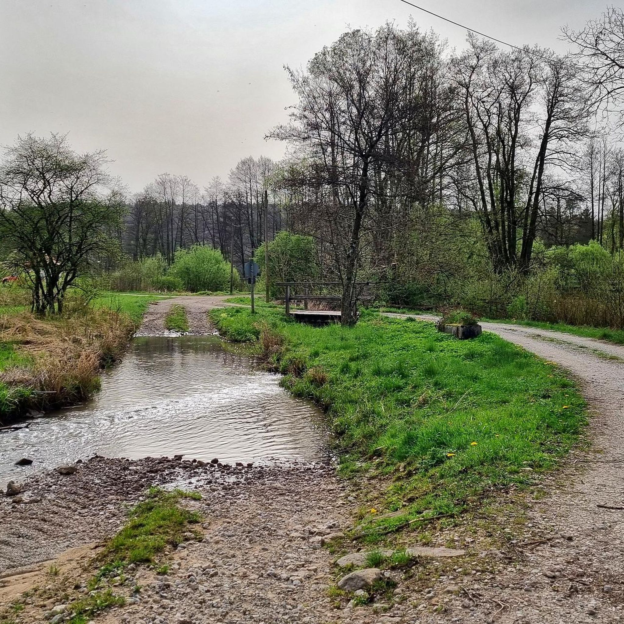
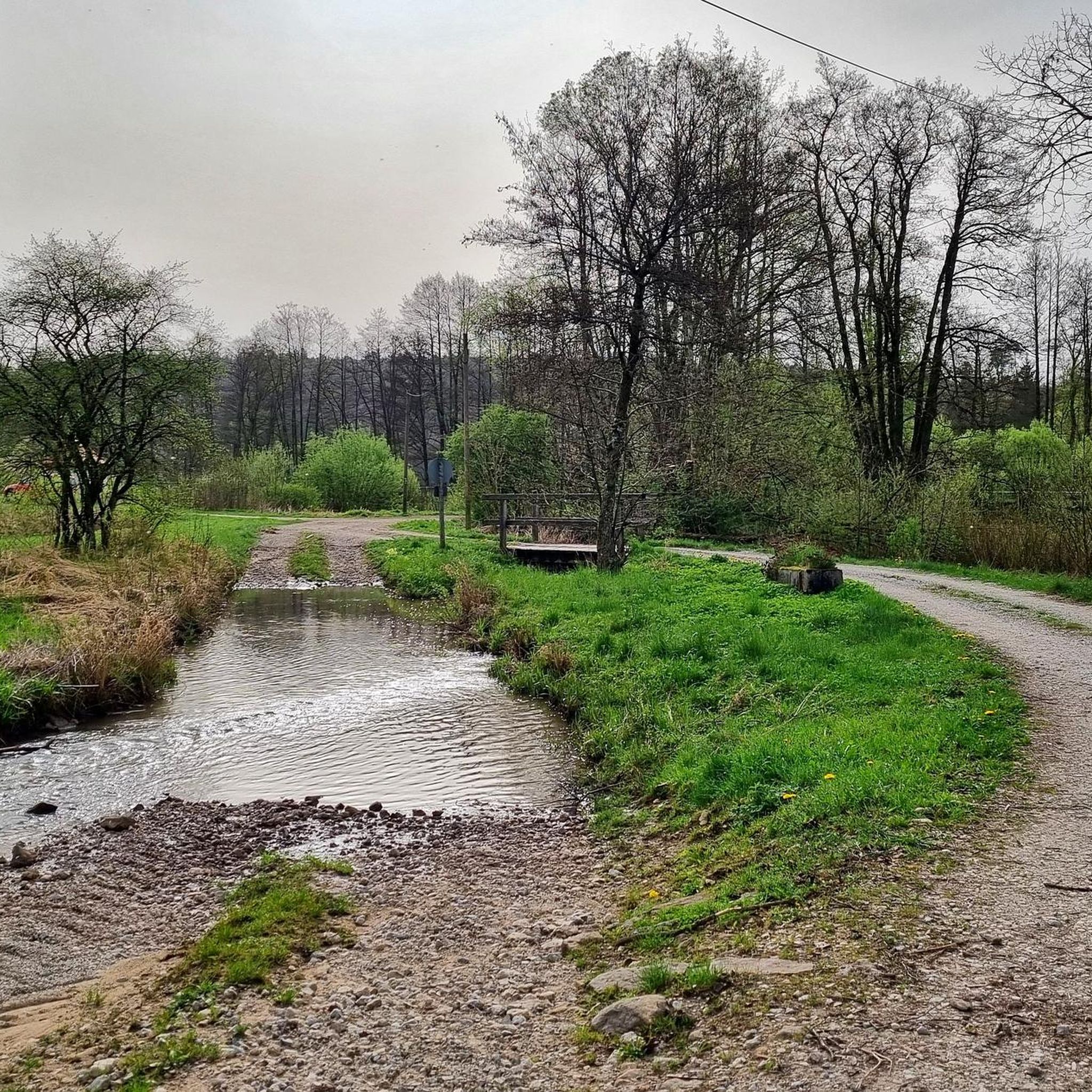
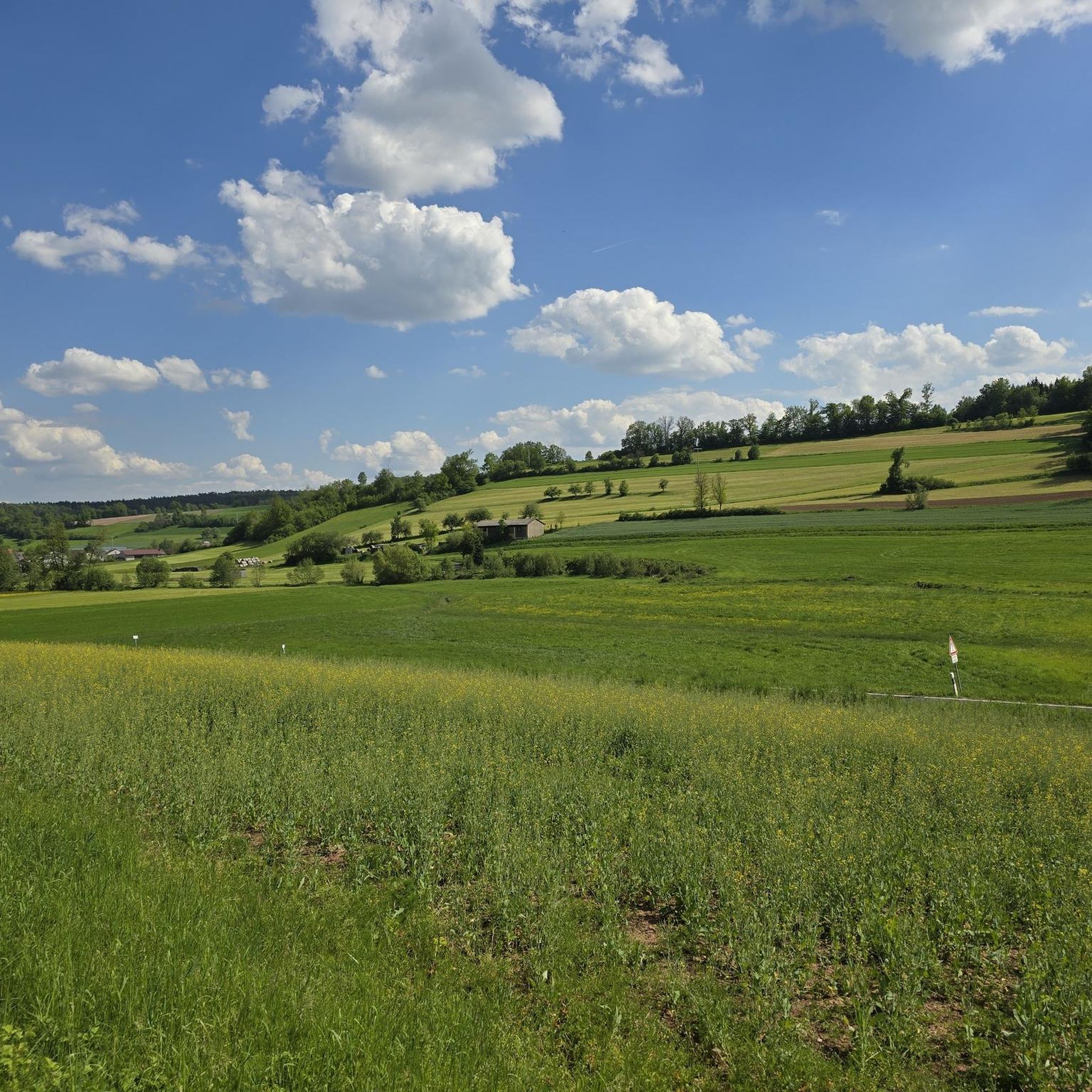
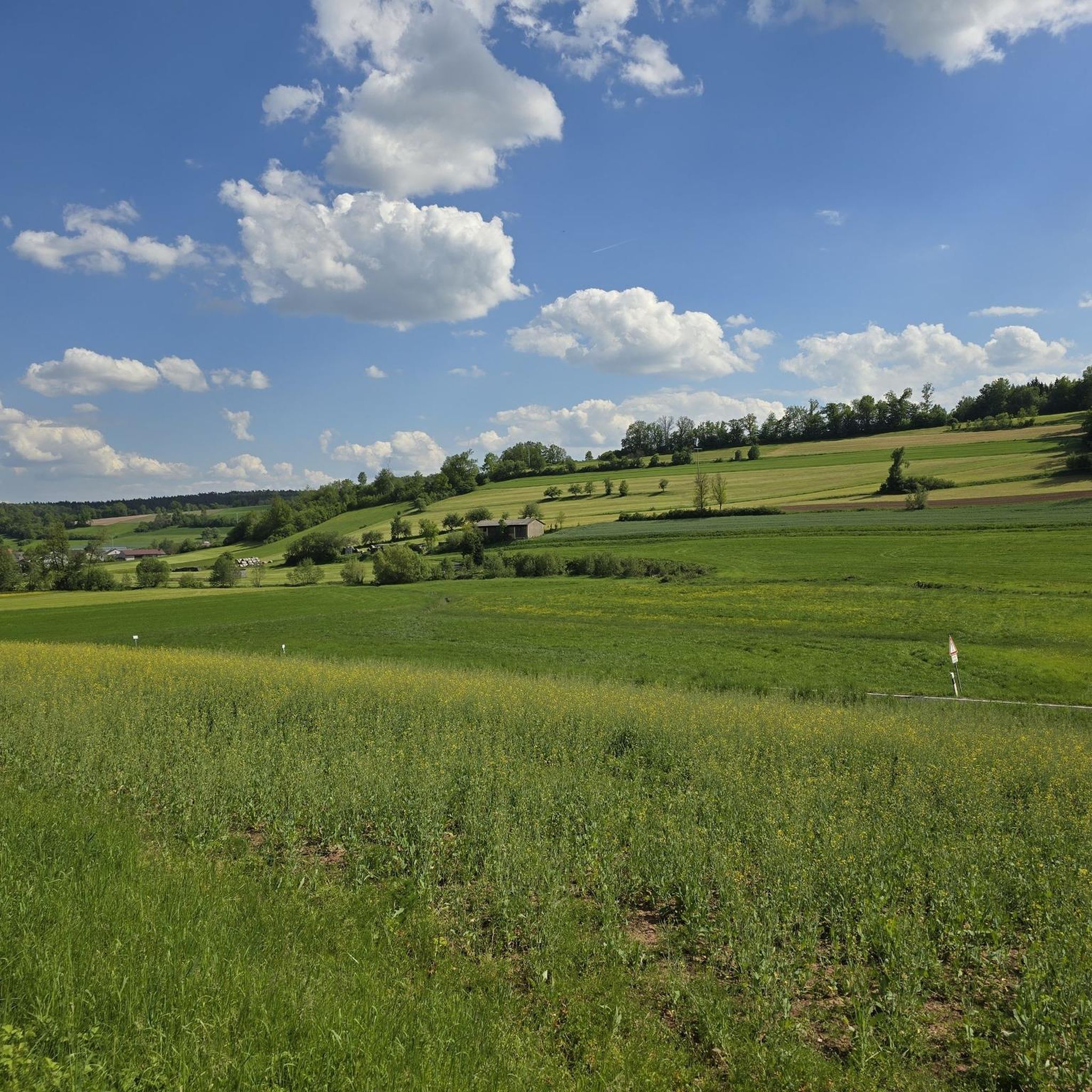
Mountain bike trails around Burgwindheim are situated on the edge of the Steigerwald forest, a region characterized by rolling hills, dense woodlands, and river valleys. The varied topography provides a natural environment for mountain biking, offering a mix of ascents, descents, and winding paths. The Aurach River flows through the area, adding a tranquil water element to the landscape. This setting offers diverse terrain for exploring Franconia on two wheels.
Best mountain bike trails around Burgwindheim
- The most popular mountain…
Last updated: October 4, 2026
5.0
(5)
10
riders
42.9km
03:25
490m
490m
Moderate mountain bike ride. Good fitness required. Advanced riding skills necessary.
4.0
(2)
10
riders
43.8km
02:27
210m
210m
Moderate mountain bike ride. Good fitness required. Suitable for all skill levels.

4.8
(5)
10
riders
27.1km
01:49
210m
210m
Moderate mountain bike ride. Great for any fitness level. Advanced riding skills necessary.
5.0
(2)
4
riders
18.4km
01:15
160m
160m
Easy mountain bike ride. Great for any fitness level. Suitable for all skill levels.
4.0
(3)
8
riders
23.0km
01:18
120m
120m
Easy mountain bike ride. Great for any fitness level. Suitable for all skill levels.
Get access to more routes and recommendations from other explorers.
Already have an account?
Our route recommendations are based on thousands of hikes, rides, and runs completed by other people on komoot.
Start today with a free account
Your next adventure awaits.
Tips from the Community

Also easily passable with a gravel bike
0
0

The Brother's Cross (from "Der Steigerwald") A small cross stands in the woods On a blooming heather slope A grey, simple stone. There, in olden days The brother slew the brother In the field by the green edge. The deed is long forgotten The stone, only storm-eroded Defies oblivion. But when the night revels in scents The tale of the bloody dispute From a long-forgotten time Shines forth in the air.
0
0
According to legend, two brothers went into the forest to get wood and brushwood. One had a sword, the other a sickle (depicted on the penance cross). In the evening, they met again and got into an argument about who had been more diligent. The argument escalated, and the brothers attacked each other with their weapons. Mortally wounded, both regretted their actions, asked each other for forgiveness, and died reconciled.
0
0

Beautiful hiking parking lot with information boards about wood cultivation
1
0

The last few meters in the northern part were already overgrown, but otherwise easily rideable;
0
0
Good landmark with a shelter and information boards;
0
0


In bad weather, there is a shelter. At the crossroads, there are information boards, including for trails. You rarely stand around alone for more than 5 minutes here,
0
0
Frequently Asked Questions
How many mountain bike trails are available around Burgwindheim?
There are over 340 mountain bike trails around Burgwindheim. This includes a wide range of options, with 61 easy routes, 255 moderate routes, and 25 difficult trails, catering to various skill levels.
What kind of terrain can I expect on mountain bike trails near Burgwindheim?
The terrain around Burgwindheim, situated on the edge of the Steigerwald forest, is characterized by rolling hills, dense woodlands, and river valleys, particularly along the Aurach River. You can expect a varied topography with a mix of ascents, descents, and winding paths through the 'Frankish' hills, offering diverse riding experiences.
Are there mountain bike trails suitable for beginners around Burgwindheim?
Yes, there are 61 easy mountain bike routes available. An example is the Oberes Tor Burgebrach loop from Mönchherrnsdorf, which is 11.3 miles (18.3 km) long and leads through varied terrain, often completed in about 1 hour 14 minutes.
What are some notable natural features or landmarks I can see while mountain biking?
The region offers several points of interest. You'll be riding through the scenic Steigerwald forest and along the Aurach River. Specific highlights include the Friedleinsbrunnen, the Tretzendorfer Weiher Observation Platform, and the Tretzendorf Ponds. You might also encounter historical sites like the Stollburg Ruins.
Are there any loop mountain bike trails in the Burgwindheim area?
Yes, many trails in the area are designed as loops. For example, the Trail Towards Magdalenenkreuz – Stone Cross (1617) loop from Wüstenbuch is a popular moderate route covering 26.7 miles (42.9 km). Another option is the Holy Blood Chapel loop from Mönchherrnsdorf, a moderate 16.9 miles (27.1 km) path.
What do other mountain bikers enjoy most about the trails in Burgwindheim?
The mountain bike trails around Burgwindheim are highly rated by the komoot community, with an average score of 4.5 stars from over 600 reviews. Riders often praise the varied terrain, the scenic beauty of the Steigerwald forest, and the well-maintained paths that offer options for different ability levels.
Are there any family-friendly mountain bike trails near Burgwindheim?
While specific family-designated trails are not detailed, the 61 easy routes in the area are generally suitable for families with some biking experience. These trails typically feature less challenging gradients and smoother surfaces, allowing for a more relaxed ride through the scenic landscape.
Can I find mountain bike trails with pub or cafe stops along the way?
While specific routes with integrated pub or cafe stops are not explicitly listed, Burgwindheim and its surrounding villages offer local establishments where you can refuel. Many routes pass through or near these villages, making it possible to plan a stop for refreshments.
What is the best time of year for mountain biking in Burgwindheim?
The natural awakening of spring, with its green and blooming scenery, is highlighted as a particularly beautiful time for outdoor activities like cycling. The milder temperatures of spring and autumn generally offer the most comfortable riding conditions, avoiding the extremes of summer heat or winter cold.
Are there any longer, more challenging mountain bike routes for experienced riders?
Yes, there are 255 moderate and 25 difficult routes for more experienced riders. A longer moderate option is the Unterharnsbach Pond – Oberes Tor Burgebrach loop from Büchelberg, which spans 43.9 km (27.3 miles) and features varied elevation changes.
Is there parking available at the trailheads?
While specific trailhead parking information is not provided for every route, Burgwindheim and the surrounding villages typically offer public parking options. It is advisable to check local maps or komoot tour details for parking suggestions near your chosen starting point.
Are there any trails that pass by historical sites or castles?
Yes, some routes offer glimpses of historical elements. For instance, the Burgwindheim Castle – Ebrach Natural Swimming Pool loop from Burgwindheim passes by the local castle. Additionally, the Holy Blood Chapel loop from Mönchherrnsdorf includes a notable chapel along its scenic path.
Most popular routes around Burgwindheim
Most popular attractions around Burgwindheim

Get inspired with the komoot mobile app


Explore more
Browse the best MTB trails in other regions.
