The best walks and hikes around Burgwindheim
4.4
(612)
2,483
hikers
29
hikes
Hiking around Burgwindheim offers exploration within the Steigerwald forest in Upper Franconia, Germany. The region features an open and expansive natural landscape with lush greenery and clear air. Situated in the Mittlere Ebrach valley, the terrain includes rolling hills and forests, providing varied topography and far-reaching views. The area is known for its well-marked hiking trails and protected natural areas.
Best hiking trails around Burgwindheim
- The most popular hiking route is Blood Spring, Burgwindheim – Holy Blood Chapel loop from…
Last updated: October 4, 2026
3.3
(9)
39
hikers
Easy hike. Great for any fitness level. Easily-accessible paths. Suitable for all skill levels.
4.8
(8)
17
hikers
6.78km
01:53
130m
130m
Easy hike. Great for any fitness level. Easily-accessible paths. Suitable for all skill levels.

4.6
(8)
14
hikers
Moderate hike. Good fitness required. Easily-accessible paths. Suitable for all skill levels.
4.7
(6)
16
hikers
Easy hike. Great for any fitness level. Easily-accessible paths. Suitable for all skill levels.
3.0
(1)
6
hikers
9.54km
02:36
150m
150m
Moderate hike. Good fitness required. Easily-accessible paths. Suitable for all skill levels.
Get access to more routes and recommendations from other explorers.
Already have an account?
Our route recommendations are based on thousands of hikes, rides, and runs completed by other people on komoot.
Start today with a free account
Your next adventure awaits.
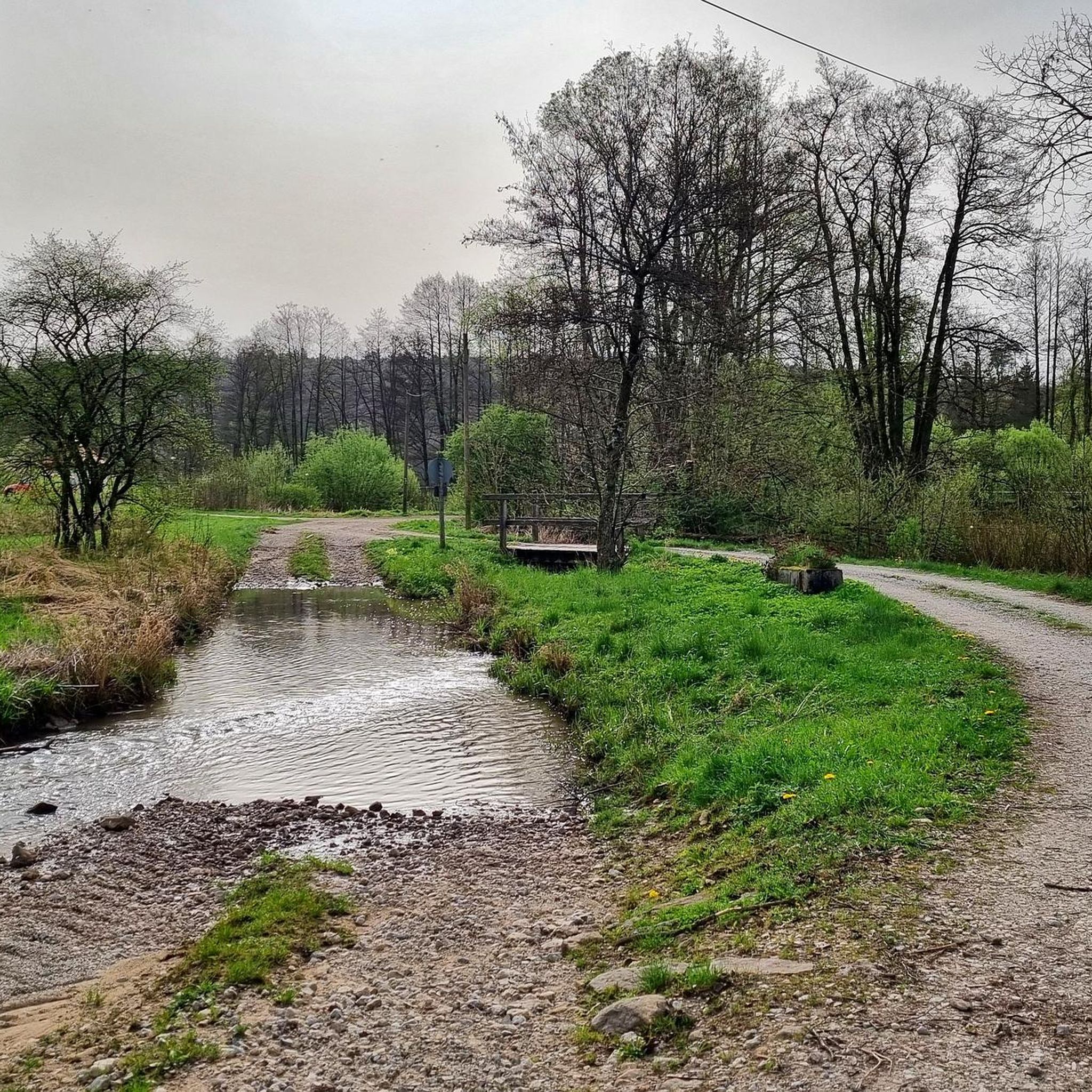
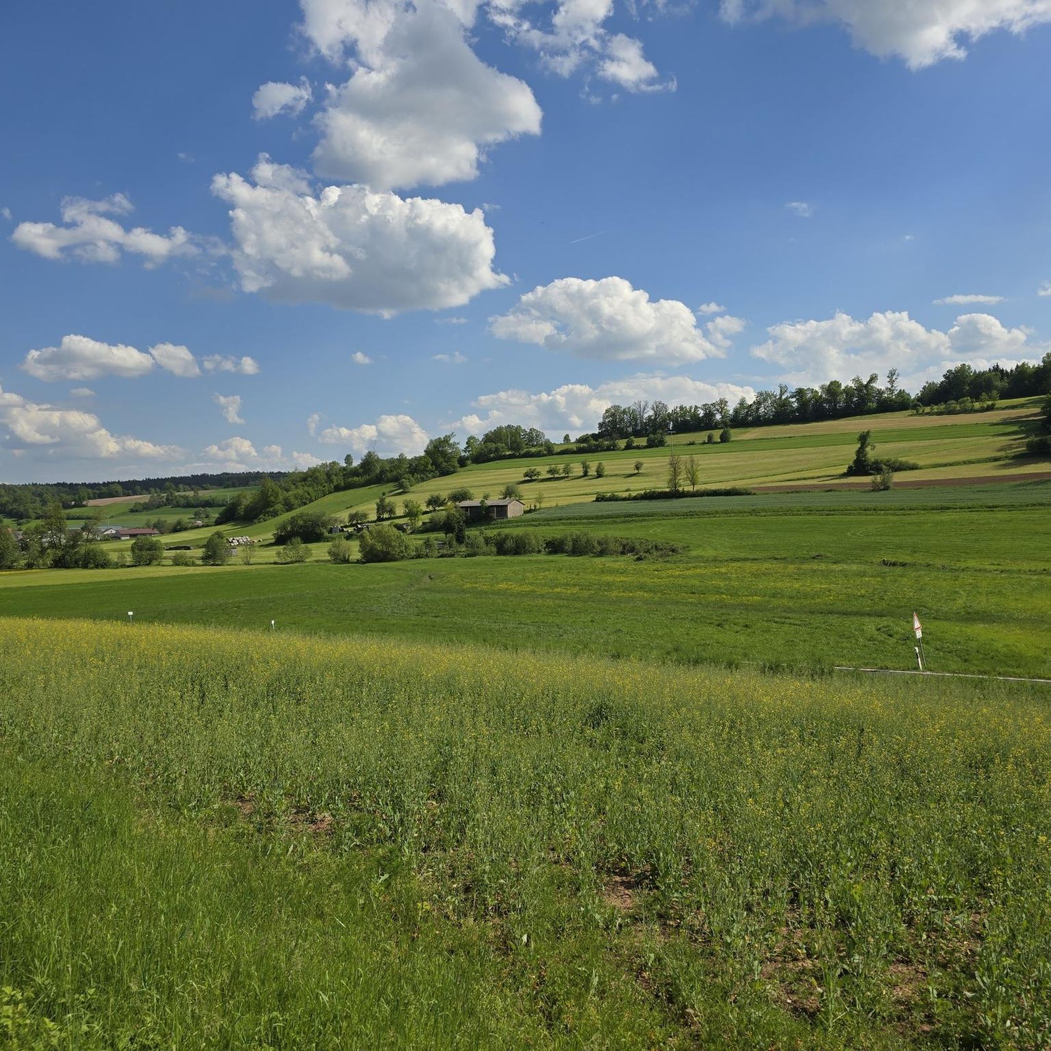
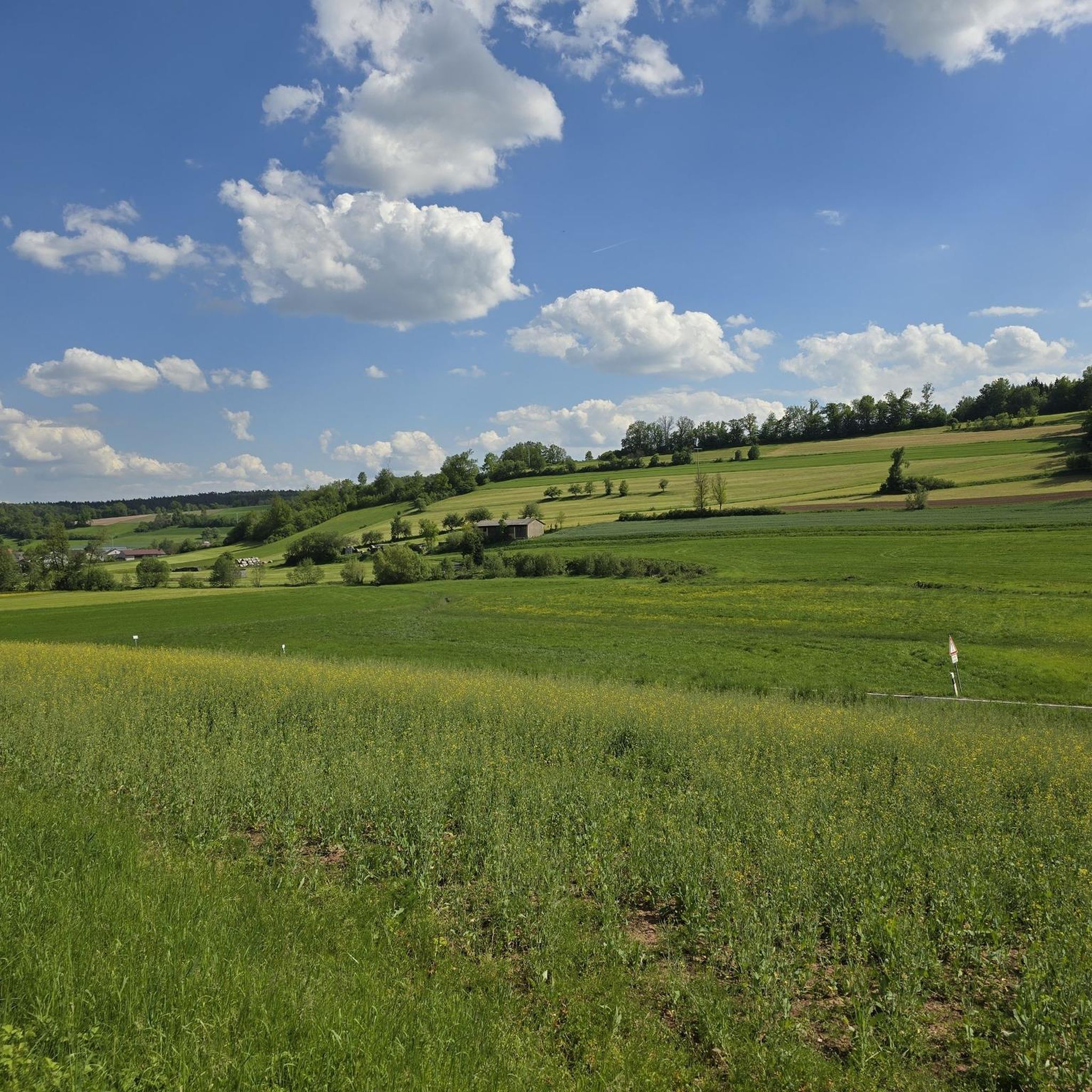
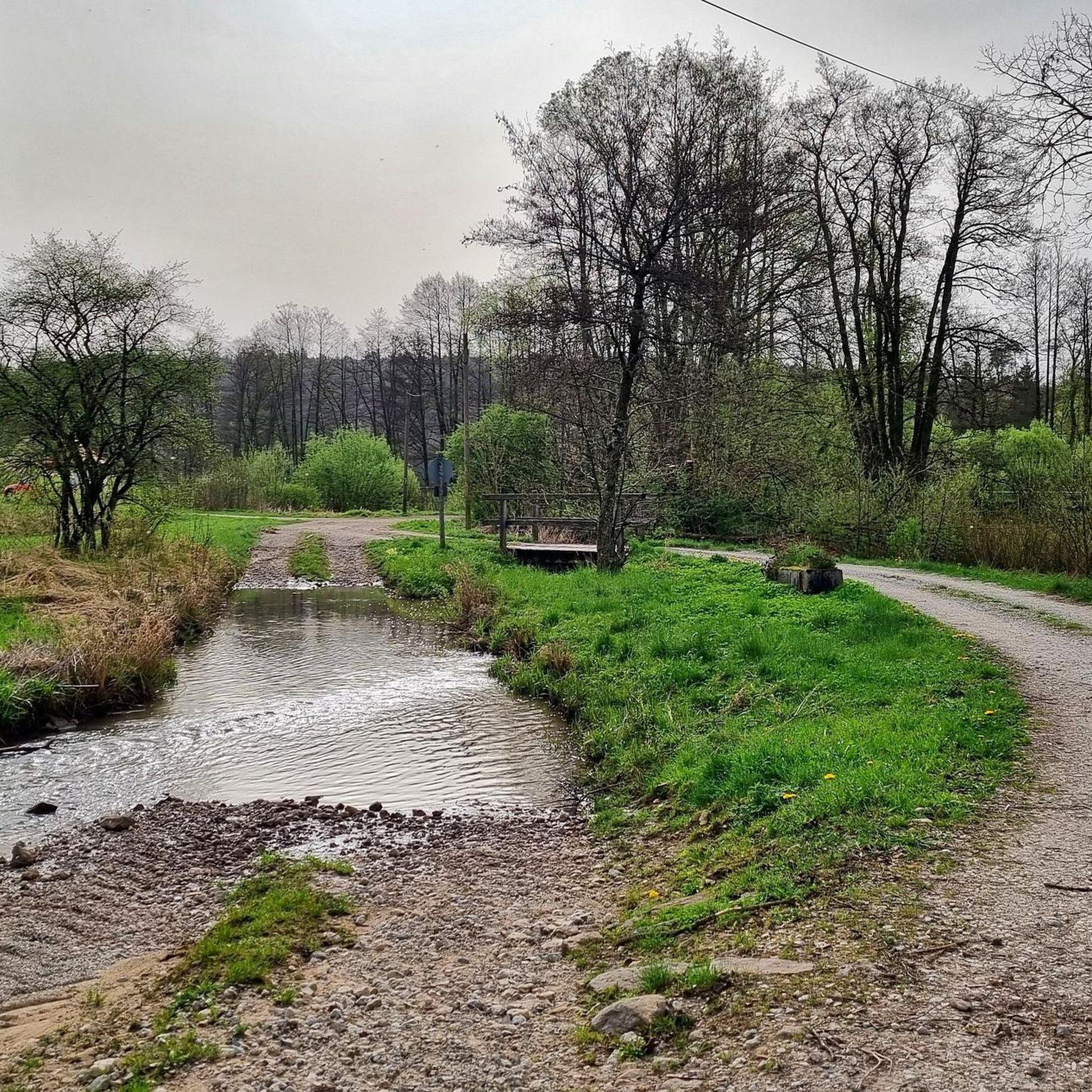
Tips from the Community

Still very well-preserved beautiful mill
0
0
Very beautiful and elaborate Marterla
0
0
Pillory or fright stone on/in the house wall
0
0

The spring is very hidden. Even with Komoot, I initially drove right past it.
0
0

Here the Debersdorf stream branches off to form a chain of ponds used for carp farming.
0
0

The spring is somewhat hidden near the hiking parking lot and is almost impossible to find without local knowledge (or Komoot). It's a shame that the surrounding area isn't well-maintained. To call the bench by the pond dilapidated would be an understatement.
0
0


Here the carp are frolicking at the feeder!
1
0
Frequently Asked Questions
What kind of hiking trails can I expect around Burgwindheim?
Burgwindheim, nestled in the Steigerwald forest, offers a diverse network of trails. You'll find paths winding through lush forests, along the Mittlere Ebrach valley, and over rolling hills that provide expansive views of the Upper Franconian landscape. The area is known for its well-marked trails, catering to various fitness levels.
Are there easy hiking trails suitable for beginners or families?
Yes, Burgwindheim has a good selection of easy trails. Out of the 27 available routes, 14 are classified as easy. These paths are generally well-maintained and suitable for all abilities, including families. An example of an easy route is the Steinachsberg – Georg Hirsch Spring loop from Steinachsrangen, which takes you through forested areas and open countryside.
Are there many circular hiking routes available in Burgwindheim?
Yes, Burgwindheim is well-equipped with circular hiking routes. The municipality has developed eight circular trails covering a total of 65 kilometers, making it easy to plan a loop hike without needing to retrace your steps. Many of the routes listed on komoot are also loops, such as the popular Blood Spring, Burgwindheim – Holy Blood Chapel loop from Burgwindheim.
What historical or natural landmarks can I see while hiking around Burgwindheim?
Hiking in Burgwindheim offers a blend of natural beauty and historical sights. You can visit the significant pilgrimage sites of the Heilig-Blut-Kapelle (Chapel of the Holy Blood) and the Blutsbrunnen (Blood Well), which are often integrated into popular routes. While not directly on a trail, the impressive Baroque Schloss Burgwindheim Palace is a notable landmark in the town itself. For more historical exploration, consider visiting nearby castles like Lisberg Castle or Trabelsdorf Castle.
What do other hikers enjoy most about the trails in Burgwindheim?
The hiking trails around Burgwindheim are highly regarded by the komoot community, boasting an average rating of 4.4 stars from over 500 reviews. Hikers frequently praise the well-marked paths, the serene atmosphere of the Steigerwald forest, and the varied scenery that includes both dense woodlands and open, expansive views.
Are there any moderate or challenging hikes in the area?
While Burgwindheim is known for its accessible trails, there are also moderate options for those seeking a bit more challenge. Out of the 27 routes, 13 are classified as moderate. An example is the Haus des Winters Picnic Area – Carp Pond Near Wüstenbuch loop from Magdalenenkappel, which covers 8.3 km and involves some elevation changes through woodlands and past water features.
Can I bring my dog on the hiking trails in Burgwindheim?
Generally, dogs are welcome on hiking trails in the Steigerwald Nature Park, provided they are kept on a leash. It's always a good idea to be mindful of local regulations and other hikers. The natural environment with its forests and open spaces offers a great experience for you and your canine companion.
Where can I find parking for hiking trails in Burgwindheim?
The municipality of Burgwindheim has recently improved its infrastructure for hikers, including adding new parking spaces specifically for trail access. You'll find overview maps at these starting points, making it easy to begin your hike. Specific parking details are often provided on individual route descriptions.
Are there places to rest or have a picnic along the trails?
Yes, the hiking network around Burgwindheim includes newly created resting spots along the trails. These offer opportunities to pause, enjoy the views, and have a picnic. Some routes, like the Haus des Winters Picnic Area – Carp Pond Near Wüstenbuch loop from Debersdorf, even feature designated picnic areas.
What is the best time of year to go hiking in Burgwindheim?
Burgwindheim offers enjoyable hiking experiences throughout much of the year. Spring brings lush greenery and blooming flora, while autumn transforms the Steigerwald forest with vibrant colors. Summer is ideal for longer days and warmer weather, though the forest provides welcome shade. Even in winter, the clear air and quiet trails can offer a unique, peaceful experience, though some paths might be slippery.
How many hiking routes are available in total around Burgwindheim?
There are over 25 hiking routes available around Burgwindheim, offering a wide variety of distances and difficulty levels to explore the beautiful Steigerwald region.
Most popular routes around Burgwindheim
Most popular attractions around Burgwindheim

Get inspired with the komoot mobile app


Explore more
Browse the best Hikes in other regions.
