The best walks and hikes around Lac des Neuf Couleurs
4.6
(1167)
8,026
hikers
132
hikes
Hiking around Lac des Neuf Couleurs offers routes through high-alpine terrain characterized by rocky landscapes, glacial lakes, and significant elevation changes. The region features a network of trails that traverse mountain passes and valleys, providing access to remote areas. The environment is primarily exposed, with sparse vegetation at higher altitudes, transitioning to some alpine meadows and scattered trees in lower sections.
Best hiking trails around Lac des Neuf Couleurs
- The most popular hiking route is Roberto Cavallero Trail, a…
Last updated: June 25, 2026
4.6
(19)
111
hikers
15.7km
07:47
1,250m
1,250m
Hard hike. Very good fitness required. Sure-footedness, sturdy shoes and alpine experience required.
3
hikers
13.5km
06:46
1,040m
1,040m
Hard hike. Very good fitness required. Sure-footedness, sturdy shoes and alpine experience required.

Sign up for free
9
hikers
3.27km
01:47
270m
270m
Hard hike. Great for any fitness level. Sure-footedness, sturdy shoes and alpine experience required.
4
hikers
20.1km
08:46
1,080m
1,080m
Hard hike. Very good fitness required. Sure-footedness, sturdy shoes and alpine experience required.
3.0
(1)
27
hikers
6.81km
02:55
350m
350m
Hard hike. Good fitness required. Sure-footedness, sturdy shoes and alpine experience required.
Get access to more routes and recommendations from other explorers.
Sign up for free
Already have an account?
Our route recommendations are based on thousands of hikes, rides, and runs completed by other people on komoot.
Start today with a free account
Your next adventure awaits.
Login or Signup
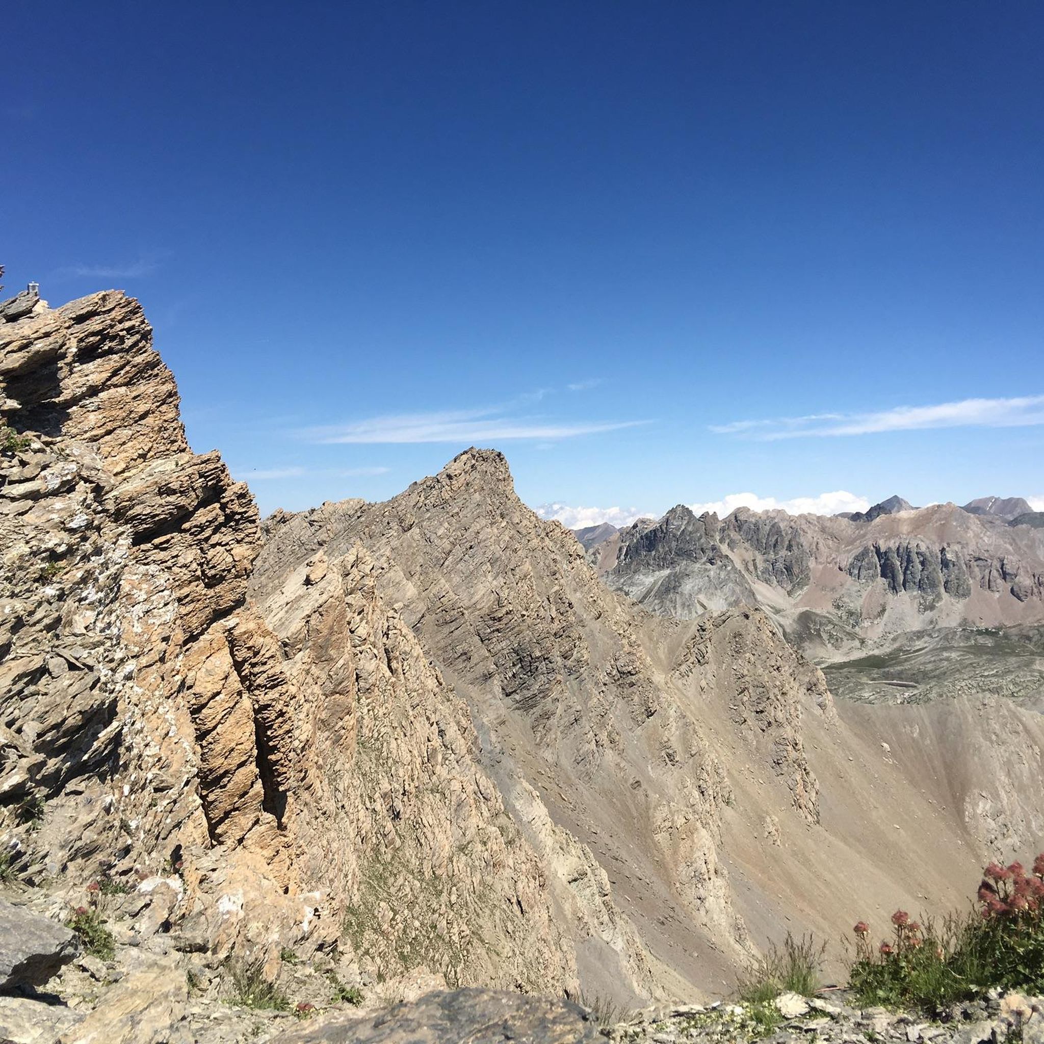
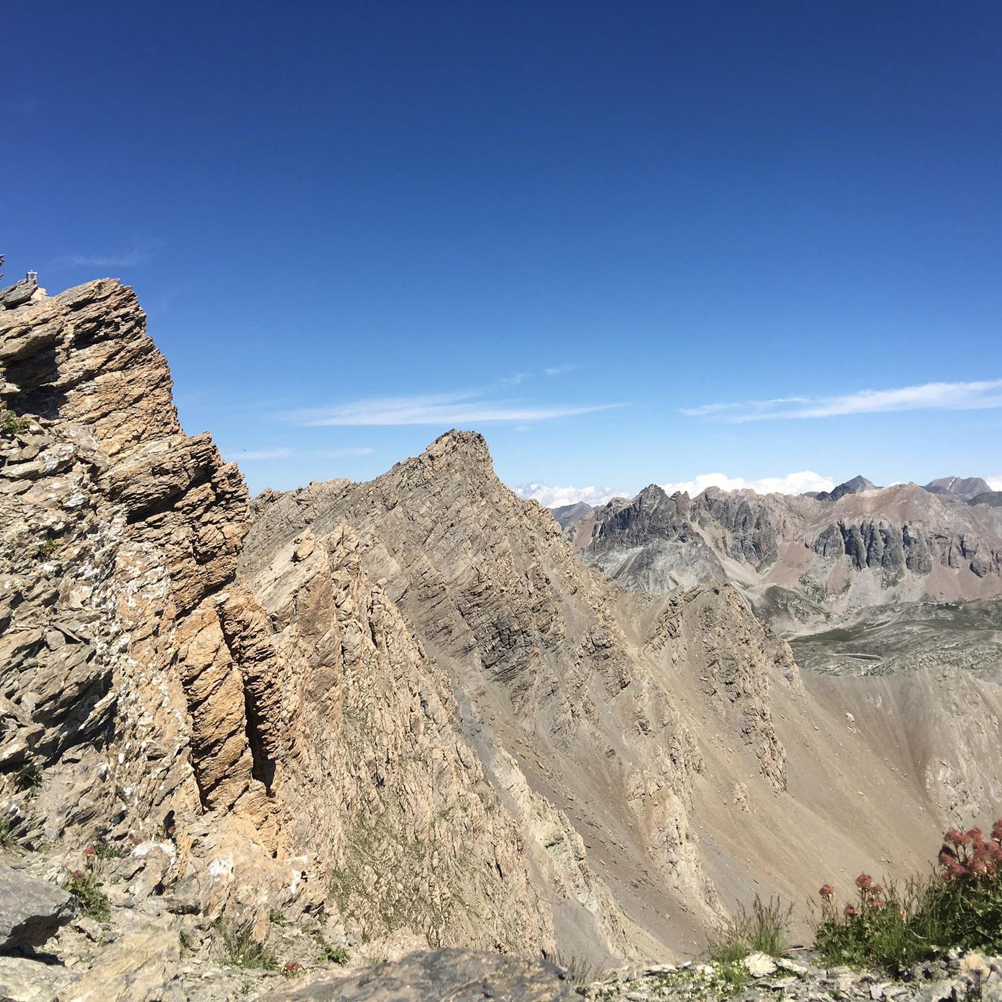

Tips from the Community

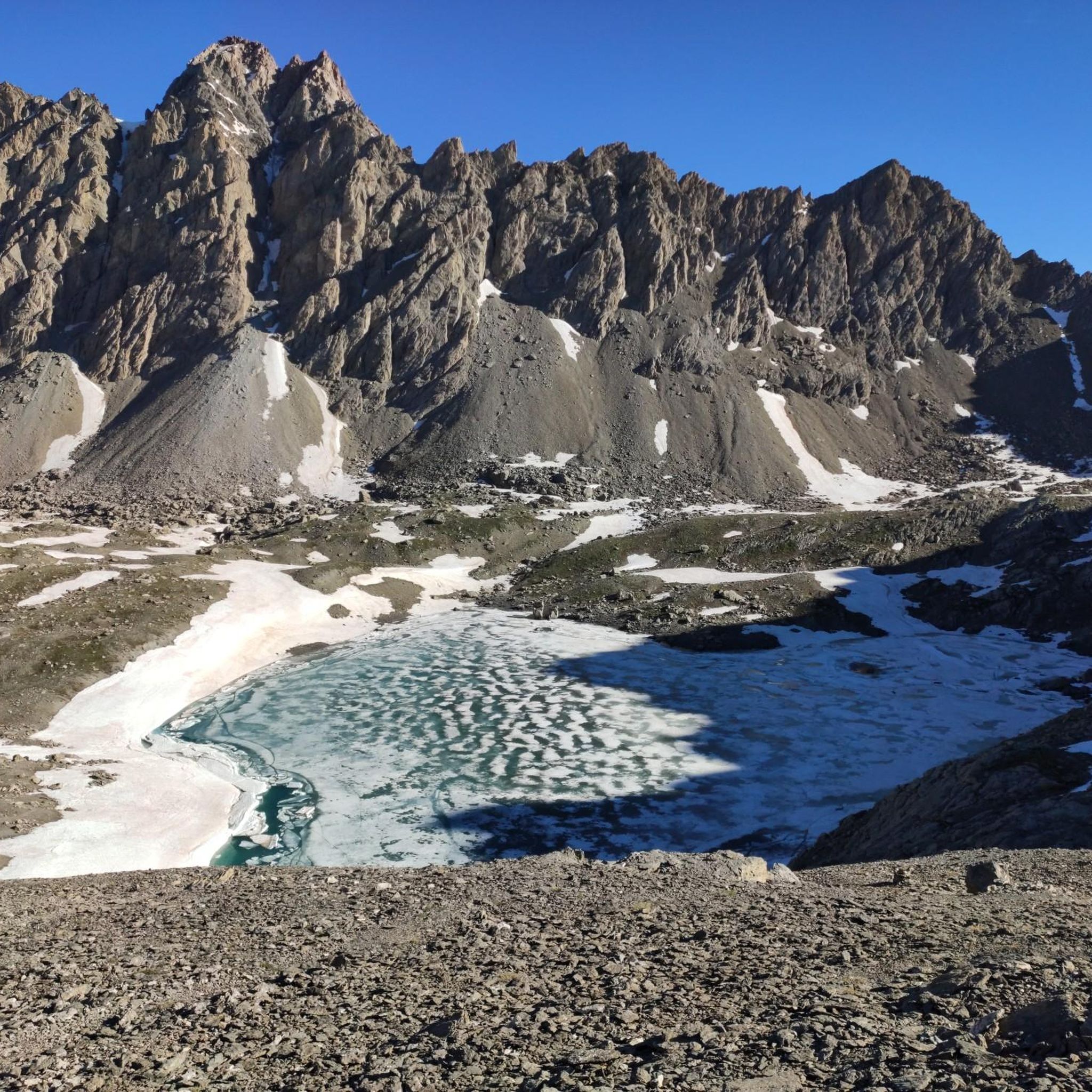
This varied hike allows you to discover a traditional mountain village (Fouillouse), the pretty refuge of Chambeyron, and finally the magnificent Lac des Neuf Couleurs, nestled at the foot of the Aiguille de Chambeyron which is the highest point in the Alpes-de-Haute-Provence department. The topo and photos at this address: https://treksrandos.fr/alpes/alpes-de-haute-provence-04/chambeyron/lac-des-neuf-couleurs-2841-m/
2
0

Beautiful lake on French territory easily reachable from Colle delle Munie. Descending from Mount Viraysse requires some attention as the path is steep in the first part and on a scree surface in the long crossing
0
0
Crest path from Colle delle Munie to Mount Soubeiran and halfway to Lake Reculaye. Steep towards Lake Munie. Be careful as it is slippery
0
0

Getting to the Tête de la Frema is very challenging and in the last stretch as in others a little exposed, but with the right attention and adequate footwear it is possible to reach it without too many problems.
0
0
Path that requires good physical preparation, it is not dangerous but quite demanding.
0
0

12 August 2023 the water source near the Barenghi bivouac is dry
6
0

Fantastic panoramic mountain with a splendid landscape
1
0

Small comfortable bivouac quite popular in season, with hikers who come to enjoy the region or climbers who tackle the south face of the Aiguilles. During my visit, it was neither very tidy nor very clean, unfortunately.
5
0
Frequently Asked Questions
How challenging are the hiking trails around Lac des Neuf Couleurs?
The trails around Lac des Neuf Couleurs are predominantly challenging, reflecting the high-alpine terrain. Out of over 120 available routes, 83 are rated as difficult, 30 as moderate, and 14 as easy. Hikers should expect significant elevation changes, rocky paths, and exposed sections. For example, the Roberto Cavallero Trail is a difficult 9.8-mile route with substantial elevation gain.
Are there any family-friendly hiking options near Lac des Neuf Couleurs?
While the region is known for its challenging high-alpine routes, there are a few easier options suitable for families with some hiking experience. There are 14 routes rated as easy. These trails typically feature less extreme elevation changes and shorter distances, though the terrain can still be rocky. Always check the specific route details for suitability before heading out with children.
Can I bring my dog on the hiking trails around Lac des Neuf Couleurs?
Hiking with dogs in high-alpine environments like Lac des Neuf Couleurs often comes with specific regulations to protect wildlife and livestock. While some trails may permit dogs, they are usually required to be kept on a leash. It's advisable to check local signage or park regulations for the specific area you plan to hike, as rules can vary.
What is the best time of year to hike around Lac des Neuf Couleurs?
The best time to hike around Lac des Neuf Couleurs is typically during the summer months, from late June to early September. During this period, the snow has usually melted from the higher passes, and the weather is generally more stable. Outside of these months, conditions can be unpredictable, with early snowfalls possible in autumn and persistent snow cover well into spring, making many trails inaccessible or requiring specialized equipment.
Are there any circular hiking routes available?
Yes, there are several circular hiking routes around Lac des Neuf Couleurs that allow you to start and end at the same point. A notable example is the Lake of Nine Colours – Bivouac Barenghi loop from Tête de la Frema, an 8.3-mile difficult path that offers panoramic views of the high-altitude landscape.
What are the typical lengths and durations of hikes in this region?
Hikes around Lac des Neuf Couleurs vary significantly in length and duration due to the challenging terrain. You can find shorter loops, such as the Bivouac Barenghi – Tête de la Frema loop from Bivacco Barenghi, which is about 2 miles and takes around 2 hours. Longer, more strenuous routes like the S34 Alpine Border Trail from Barrias Coupa to Colle Sautron can extend over 12 miles and require more than 8 hours to complete.
What kind of natural features or viewpoints can I expect to see on the trails?
The trails around Lac des Neuf Couleurs offer stunning high-alpine scenery. You'll encounter dramatic rocky landscapes, pristine glacial lakes, and expansive panoramic views from mountain passes. The region is characterized by its exposed terrain, with sparse vegetation at higher altitudes, transitioning to alpine meadows in lower sections. The lake itself, with its distinct colors, is a primary natural highlight.
Is wild swimming permitted in Lac des Neuf Couleurs or nearby lakes?
While the glacial lakes in the region are incredibly inviting, wild swimming regulations can vary. In many protected high-alpine areas, swimming might be restricted to preserve the fragile ecosystem and water quality. It's best to check local regulations or signage at the specific lake you intend to visit before entering the water.
What do other hikers enjoy most about hiking in Lac des Neuf Couleurs?
The area is highly rated by the komoot community, with an average score of 4.5 stars from over 1000 reviews. Hikers frequently praise the breathtaking high-alpine scenery, the solitude of the remote trails, and the challenge of the rugged mountain terrain. The stunning glacial lakes and panoramic views are often highlighted as key attractions.
Are there any facilities like cafes or restaurants near the trailheads?
Given the remote, high-alpine nature of Lac des Neuf Couleurs, extensive facilities like cafes or restaurants directly at trailheads are generally limited. You might find mountain refuges or bivouacs that offer basic provisions or shelter, especially on longer routes. It is highly recommended to carry all necessary food, water, and supplies for your hike.
How many hiking trails are available around Lac des Neuf Couleurs?
There are over 120 hiking routes available around Lac des Neuf Couleurs. This extensive network offers a wide range of options, from shorter, easier paths to multi-hour, challenging expeditions through high mountain passes and valleys.
What are the parking options for hikers visiting Lac des Neuf Couleurs?
Parking options for Lac des Neuf Couleurs typically involve designated parking areas at the start of major trailheads or access points to the high-alpine region. Due to the remote nature of the area, these might be limited, especially during peak season. It's advisable to arrive early or research specific parking locations for your chosen route in advance.
Most popular routes around Lac des Neuf Couleurs

Get inspired with the komoot mobile app


Explore more
Browse the best Hikes in other regions.
