The best MTB trails around Port Drzewny
4.5
(47)
454
riders
102
rides
Mountain bike trails around Port Drzewny are situated in the vicinity of an oxbow lake of the Vistula River, west of Toruń. The terrain primarily features forest paths and broken stone surfaces, suitable for mountain or trekking bicycles. The broader region includes areas with diverse post-glacial landscapes, such as moraine highlands and flat sandur plains, with over 60% forest cover. Elevation gains on the routes are generally low, with some paths traversing gentle ascents on moraine ridges.
Best mountain bike…
Last updated: May 17, 2026
5.0
(1)
23
riders
Easy mountain bike ride. Great for any fitness level. Suitable for all skill levels.
5
riders
25.2km
01:20
50m
50m
Easy mountain bike ride. Great for any fitness level. Suitable for all skill levels.

Sign up for free
4.3
(3)
4
riders
32.9km
02:31
100m
100m
Moderate mountain bike ride. Good fitness required. Suitable for all skill levels.
6
riders
100.0km
07:16
280m
280m
Hard mountain bike ride. Very good fitness required. Advanced riding skills necessary. Some portions of the route may require you to push your bike.
8
riders
15.8km
01:01
50m
50m
Easy mountain bike ride. Great for any fitness level. Suitable for all skill levels.
Get access to more routes and recommendations from other explorers.
Sign up for free
Already have an account?
Our route recommendations are based on thousands of hikes, rides, and runs completed by other people on komoot.
Start today with a free account
Your next adventure awaits.
Login or Signup
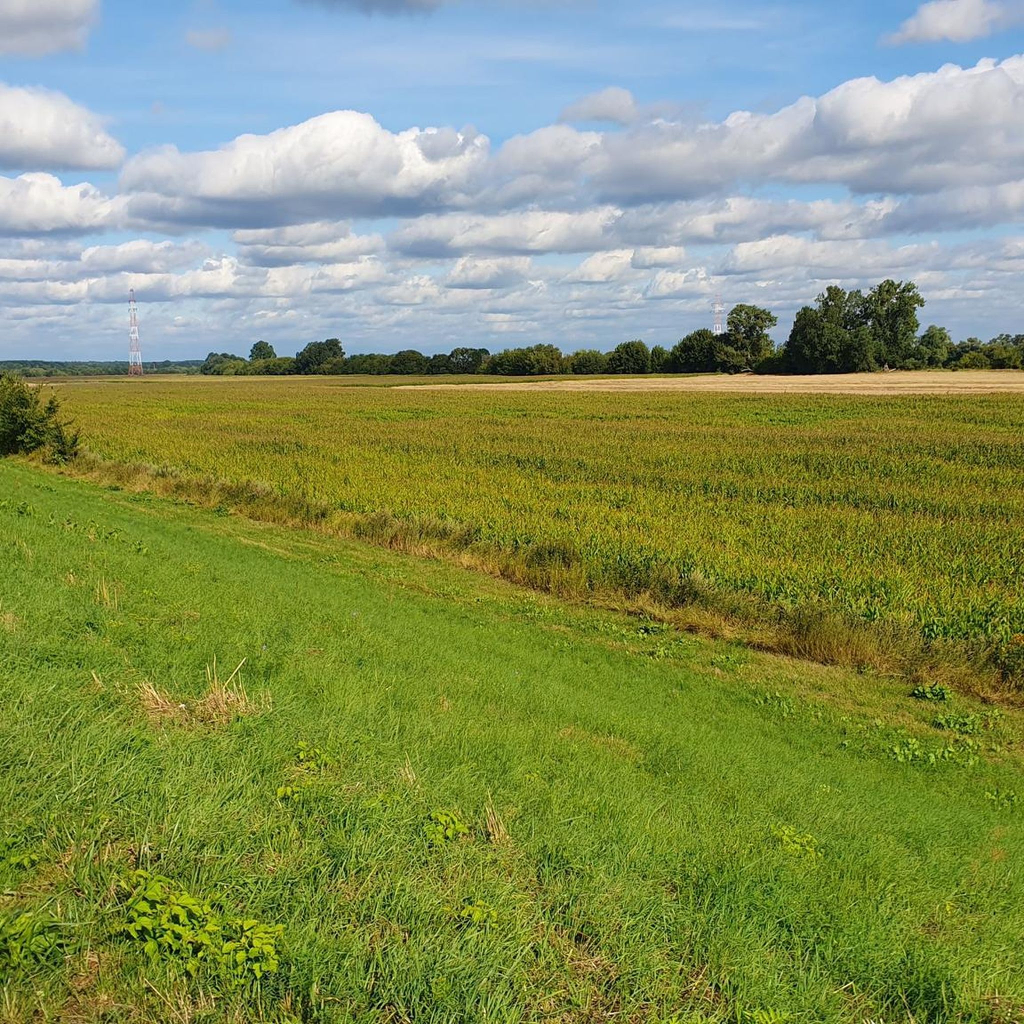

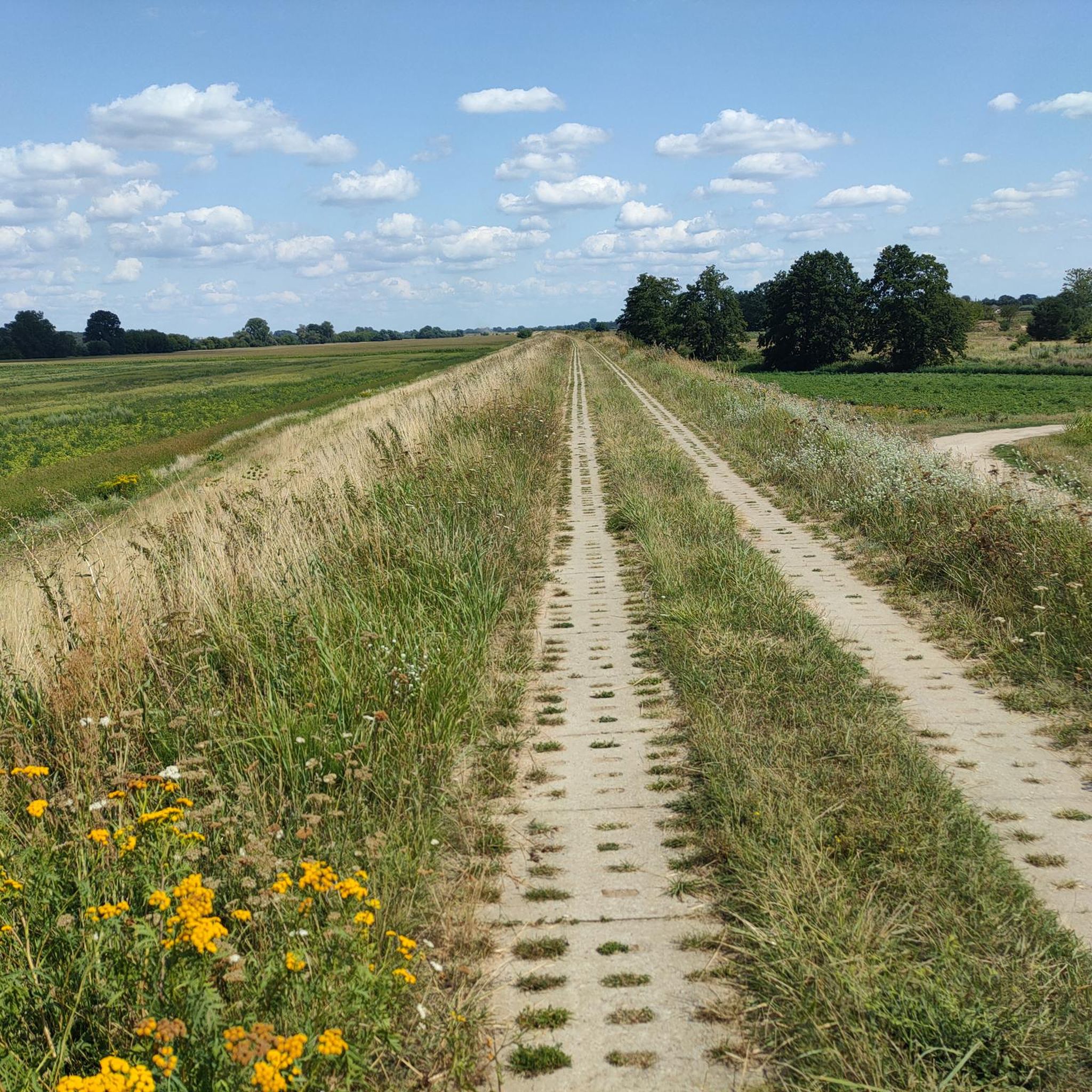
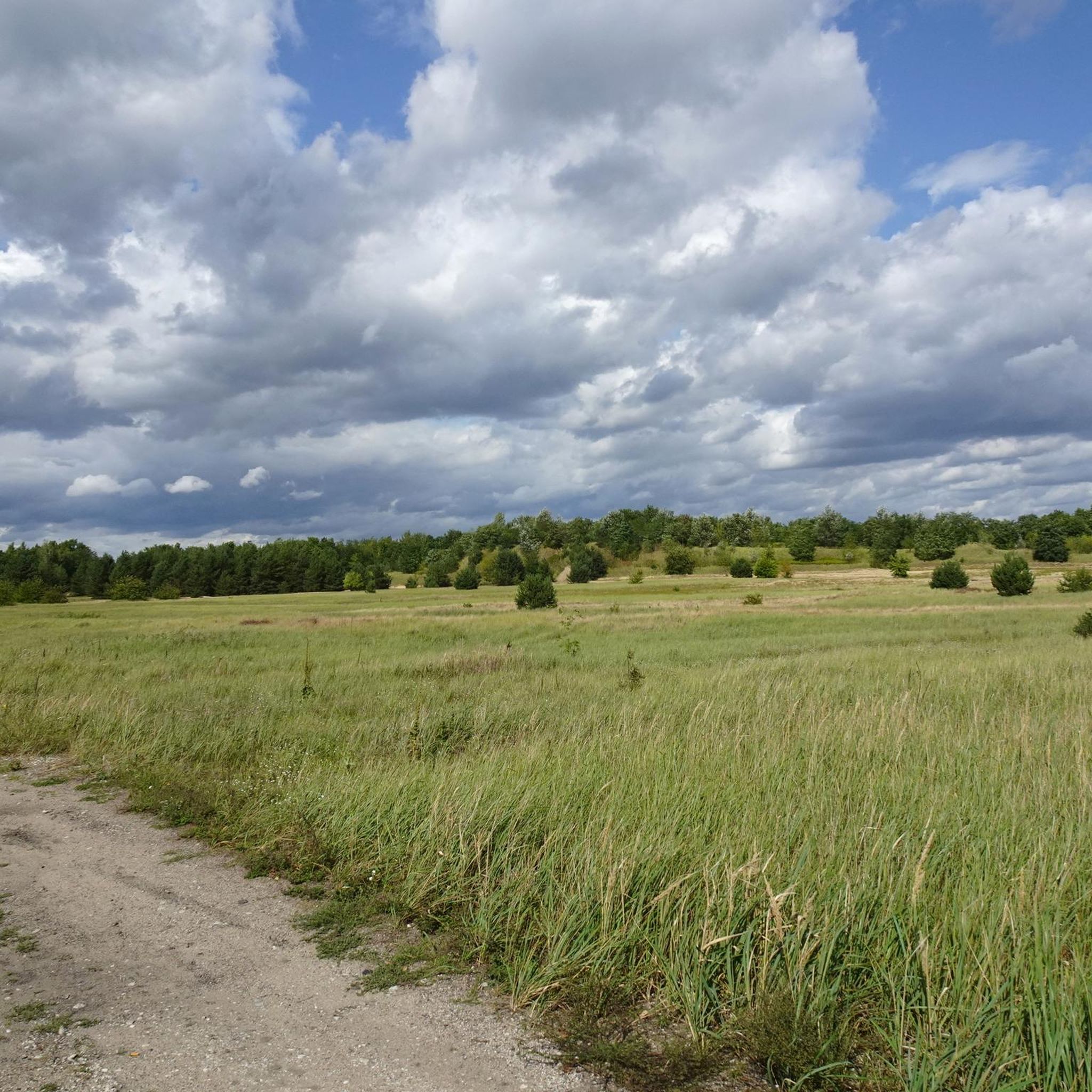
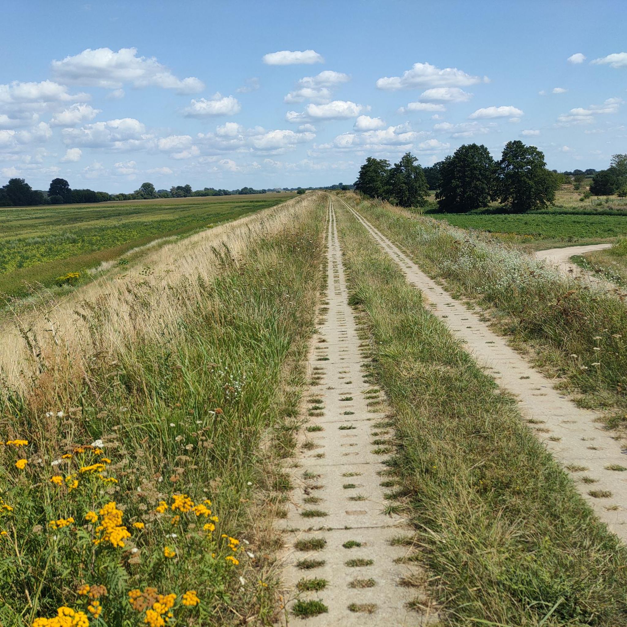
Tips from the Community

Quite a narrow pavement/cycle path on this bridge, two bikes pass each other with difficulty.
0
0

6 km flood embankment
0
0

It is worth walking in the footsteps of history.
0
0

I managed to use it once or twice. It's a pity there's no bridge nearby
0
0
There is no ferry, but there are sausages
0
0
Viewpoint across from Philadelphia Boulevard
0
0
Józef Piłsudski Bridge, pedestrian and bicycle path
0
0

Toruń Gate, from this bridge you can see a beautiful panorama of Toruń
0
0
Frequently Asked Questions
How many mountain bike trails are available around Port Drzewny?
There are over 85 mountain bike trails in the Port Drzewny area. These routes cater to various skill levels, with 39 easy, 41 moderate, and 5 difficult trails available for exploration.
What kind of terrain can I expect on mountain bike trails near Port Drzewny?
The terrain primarily features forest paths and broken stone surfaces, making it suitable for mountain or trekking bicycles. The broader region, including areas like the Brodnicki Landscape Park, offers diverse post-glacial landscapes with hilly moraine ridges and flat sandur plains, often covered by forests.
Are there mountain bike trails suitable for beginners or families in Port Drzewny?
Yes, there are many easy routes perfect for beginners and families. For example, the Go-Kart Track – Bajk Serwis loop from Akademia Kultury Społecznej i Medialnej is an easy 18.3-mile trail that explores the local surroundings of Toruń. Another great option is the Mountainbike loop from Wielka Nieszawka, an easy 15.6-mile path through natural landscapes.
Can I find more challenging mountain bike routes in the Port Drzewny area?
While the majority of trails are easy to moderate, there are 5 difficult routes for those seeking a greater challenge. The region's moraine ridges can offer some ascents, and certain sections of trails may present more technical features. For a moderate challenge, consider the Wooden Memorial Cross – Zielona Struga loop from Cierpice, a 20.9-mile trail with varied terrain.
Are there any circular mountain bike routes around Port Drzewny?
Yes, many of the mountain bike routes in the area are designed as loops, allowing you to start and finish at the same point. Examples include the Go-Kart Track – Bajk Serwis loop from Akademia Kultury Społecznej i Medialnej and the Mountainbike loop from Wielka Nieszawka.
What are some natural features or landmarks I might see while mountain biking near Port Drzewny?
The Port Drzewny area, an oxbow lake of the Vistula River, offers scenic views of the water and surrounding forests. Nearby attractions include Barbarka, a forest settlement with an ecology education center, and Bierzgłowski Castle, a medieval Teutonic castle overlooking the Vistula proglacial valley. The broader region, especially the Brodnicki Landscape Park, features diverse post-glacial landscapes with numerous lakes hidden in deep grooves and extensive forests.
Is Port Drzewny a good destination for mountain biking with dogs?
Many of the forest paths and natural trails around Port Drzewny are suitable for riding with dogs, provided they are well-behaved and kept under control. Always ensure your dog is comfortable with the distance and terrain, and check for any local regulations regarding dogs on trails or in specific natural areas.
What is the best time of year to go mountain biking around Port Drzewny?
The spring and autumn months generally offer the most pleasant conditions for mountain biking around Port Drzewny, with milder temperatures and beautiful scenery. Summer can also be enjoyable, though it may be warmer. Winter riding is possible, but trail conditions can vary depending on snow and ice.
Where can I find parking for mountain bike trails near Port Drzewny?
Specific parking information for individual trailheads is often detailed on the komoot tour pages. Generally, you can find parking in and around Toruń, and at various access points to the Vistula Cycling Route or forest areas. It's advisable to check the starting point of your chosen route for the most convenient parking options.
Are there options for public transport to access mountain bike trails around Port Drzewny?
Toruń has a public transport network that can help you get closer to the trailheads. While direct access to every trail by public transport might be limited, you can often reach areas near the Vistula River or the outskirts of the city, from where you can begin your ride. Check local bus schedules for routes serving the areas west of Toruń.
What do other mountain bikers say about the trails in Port Drzewny?
The mountain biking routes in Port Drzewny are highly rated by the komoot community, with an average score of 4.4 out of 5 stars from over 40 reviews. Riders often praise the varied terrain, the peaceful forest paths, and the accessibility of routes for different skill levels.
Are there any cafes or places to eat near the mountain bike trails in Port Drzewny?
While Port Drzewny itself is primarily a recreational area, the nearby city of Toruń offers numerous cafes, restaurants, and pubs where you can refuel after your ride. Along some routes, particularly those passing through or near settlements like Barbarka, you might find smaller eateries or picnic spots. It's always a good idea to carry snacks and water, especially on longer rides.
What are the typical distances and elevation gains on mountain bike trails in this region?
The mountain bike trails around Port Drzewny vary in length, with routes like the Forest Road – Bajk Serwis loop from Toruń being around 9.8 miles (15.8 km) with about 177 feet (54 m) of elevation gain. Longer routes, such as the Olek picnic site – Small River in the Forest loop from Chwalebne kamienie, can be around 13.2 miles (21.2 km) with approximately 234 feet (71 m) of elevation gain. Generally, elevation gains are gentle, reflecting the region's landscape.
Most popular routes around Port Drzewny

Get inspired with the komoot mobile app


Explore more
Browse the best MTB trails in other regions.
