The best walks and hikes around Sancreed
4.6
(2981)
20,139
hikers
442
hikes
Hikes around Sancreed explore the granite uplands and inland moors of the Penwith peninsula. The landscape is characterized by rolling hills, open moorland often covered in heather and gorse, and a high concentration of prehistoric sites. Trails in the area often follow footpaths that connect ancient stone circles, hillforts, and settlements.
Best hiking trails around Sancreed
- The most popular hiking route is Chun Quoit and Carn Kenidjack loops — Cornwall, a 4.6 mile (7.3 km) trail that takes about…
Last updated: August 4, 2026
5.0
(3)
10
hikers
7.34km
01:59
100m
100m
Easy hike. Great for any fitness level. Easily-accessible paths. Suitable for all skill levels.
4.7
(52)
385
hikers
26.3km
07:32
600m
600m
Hard hike. Very good fitness required. Easily-accessible paths. Suitable for all skill levels.

Sign up for free
4.5
(13)
81
hikers
5.16km
01:24
70m
70m
Easy hike. Great for any fitness level. Easily-accessible paths. Suitable for all skill levels.
4.6
(7)
30
hikers
Easy hike. Great for any fitness level. Easily-accessible paths. Suitable for all skill levels.
5.0
(1)
17
hikers
7.57km
02:02
90m
90m
Moderate hike. Good fitness required. Easily-accessible paths. Suitable for all skill levels.
Get access to more routes and recommendations from other explorers.
Sign up for free
Already have an account?
Our route recommendations are based on thousands of hikes, rides, and runs completed by other people on komoot.
Start today with a free account
Your next adventure awaits.
Login or Signup
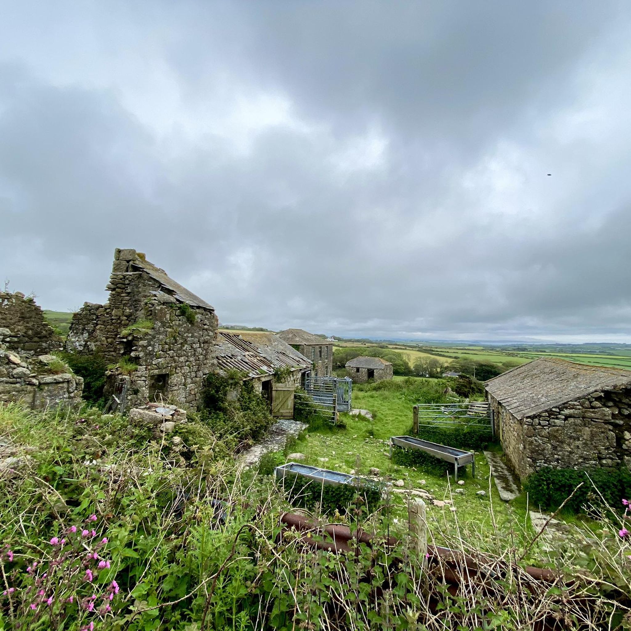
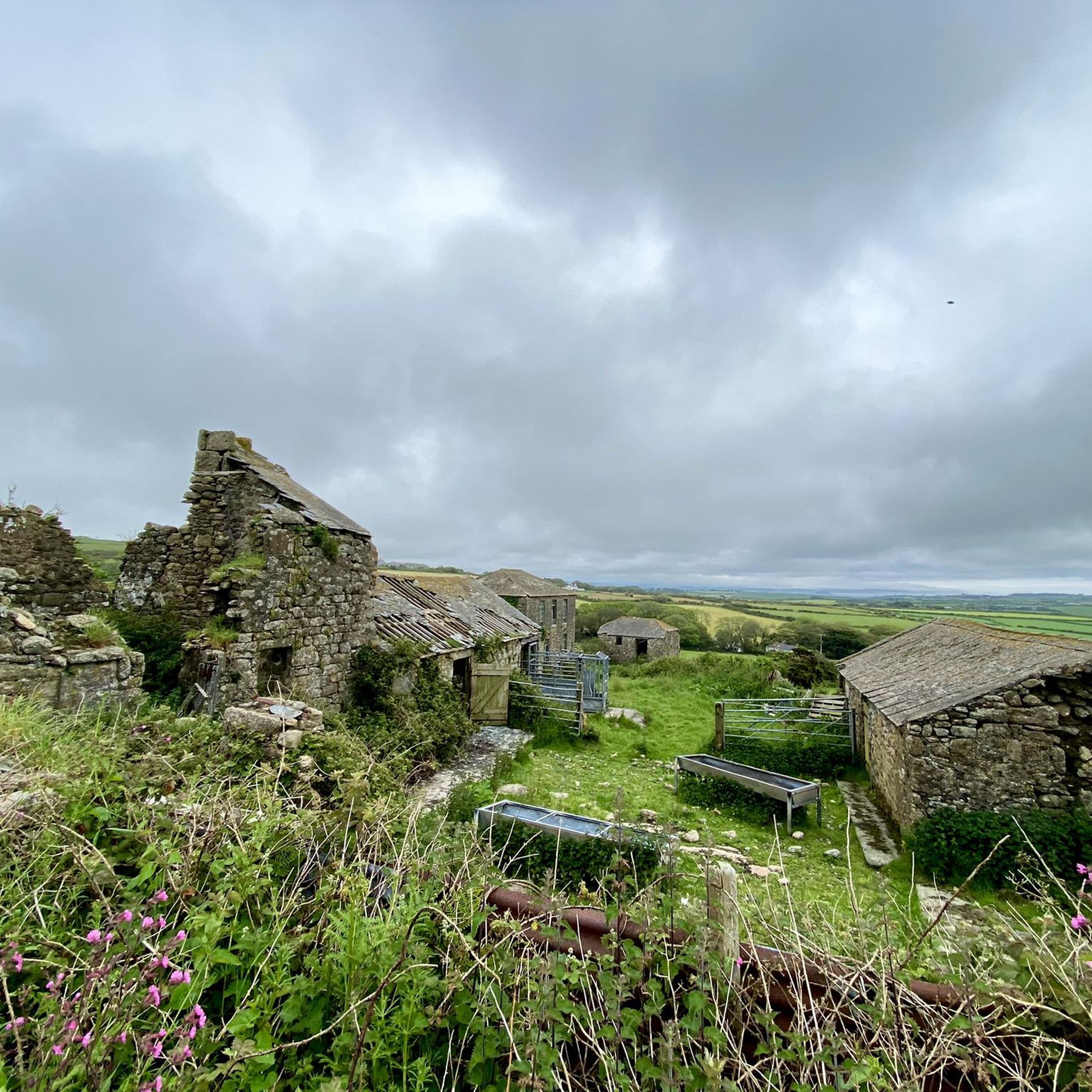
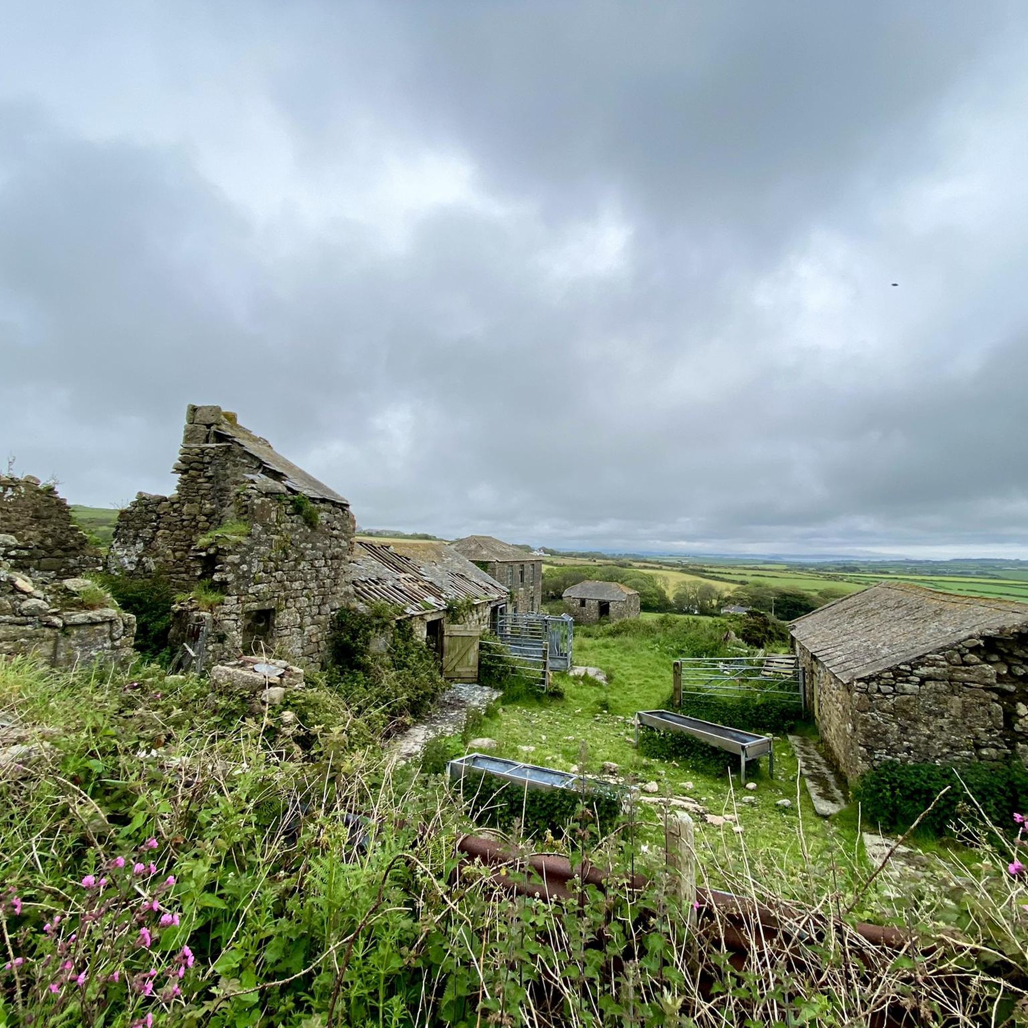
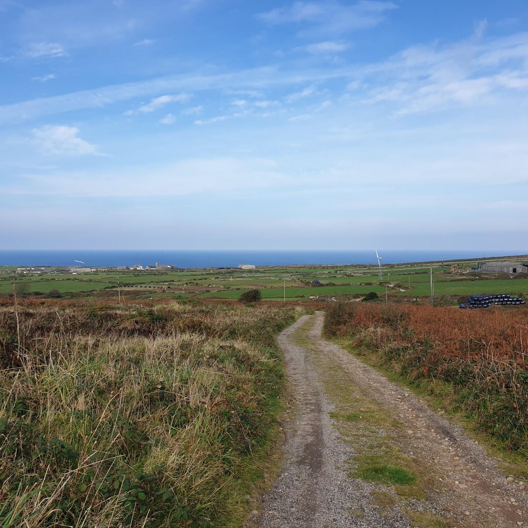
Tips from the Community


The "Hole Stone", granite blocks that were erected about 3,000 - 4,000 years ago.
0
0

The path given to follow on the first off-road section is supposed to fork right halfway along. It doesn't! If it is supposed to, it is no longer visible and the area is covered in gorse bushes. The path you take all the way is tricky to ride, having very deep/invisible ruts on either side, so if you get it a few inches wrong, you'll be stopping - very quickly! I'm an intermediate rider and rode half of it and pushed the rest. Still a vaey enjoyable overall ride which we have now done twice and moreconfidently the second time!
0
0

On our hike we found a small hidden access to the coast with a small harbor. Quiet and worth seeing.
0
0

Lanyon Quoit is a Neolithic dolmen. That said, it collapsed in a storm in 1815 and was re-erected nine years later, it is thought that it is now different from its original appearance. The granite capstone weighs more than 12 tons. The quoit stands at the north end of a long barrow, but the barrow has been damaged and is often overgrown and difficult to see.
0
0

During the 18th and 19th centuries, Ding Dong Mine was particularly productive. Steam engines were used to drain the mine. Towards the end of the 19th century, Ding Dong Mine's productivity declined due to the depletion of readily accessible ores and increasing international competition. The mine finally closed in 1877, but remained an important part of Cornwall's industrial heritage. Today, Ding Dong Mine is a ruin, protected as a historic monument.
0
0

From here you have a beautiful view of the Tater Du Lighthouse.
0
0

This cross, made of durable granite, stands alone on the cliffs and has withstood wind and weather for a century and a half. The design of this memorial cross, with a large circle that encloses the intersection of the longitudinal and transverse beams, is typical of the tradition of such small sacred monuments, which is influenced by Celtic culture.
2
0
Frequently Asked Questions
Are there many circular walks available around Sancreed?
Yes, many trails in the Sancreed area are circular, making it easy to start and end in the same place without needing to retrace your steps. These loops often take you through a mix of open moorland and past ancient historical sites. A great example is the Mên-an-Tol – Nine Maidens Stone Circle loop from Morvah, which connects several fascinating Bronze Age monuments.
What is the terrain like on the walking trails?
The terrain is varied. You can expect to encounter rolling hills, open moorland covered in heather and gorse, and some woodland paths. Trails are generally well-defined footpaths, but some sections, especially on the moors, can be uneven and boggy after rain. Sturdy walking shoes are recommended.
Are there any easy hikes suitable for families with children?
Absolutely. The area offers over 250 easy-rated walks that are perfect for a family outing. These shorter, flatter routes still provide a great sense of adventure, often leading to interesting historical sites like ancient stones or wells that can capture a child's imagination.
Can I bring my dog on the trails around Sancreed?
Dogs are generally welcome on the public footpaths around Sancreed. However, the area is characterized by open moorland and farmland, so you will likely encounter livestock. It is essential to keep your dog on a lead and under control, especially near sheep and cattle.
How can I explore the ancient and prehistoric sites on a hike?
Hiking is the best way to experience Sancreed's rich history. Many trails are specifically designed to connect a series of prehistoric sites. You can walk to the well-preserved ancient village of Carn Euny, the Caer Bran hillfort, and numerous stone circles and quoits. For detailed information on specific sites like Carn Euny Ancient Village, you can check the English Heritage website.
Are there any coastal walks accessible from Sancreed?
While Sancreed itself is inland, the famous South West Coast Path is just a short drive away. You can easily combine a moorland hike with a dramatic cliff-top walk. For a challenging day out that includes a beautiful coastal section, consider the Kemyel Crease Nature Reserve – Mousehole Harbour loop from St. Buryan, which takes you through coastal woodland and offers stunning sea views.
What is Sancreed Beacon and can I hike there?
Sancreed Beacon is a prominent hill and stretch of moorland rising 172 meters, offering fantastic panoramic views across the Penwith peninsula. It's a historic site with Bronze Age remains. Several footpaths lead to and across the beacon, making it a popular destination for a rewarding hike. You can find more about its heritage on the Cornwall Heritage Trust website.
What do other hikers think of the trails around Sancreed?
The trails are very highly regarded by the komoot community. Reviewers frequently praise the unique combination of stunning natural landscapes and the incredible density of accessible ancient history. The quiet, open moorlands and the sense of walking through time are often highlighted as major attractions.
Are there any woodland walks in the area?
Yes, while the region is known for its open moors, you can find some beautiful woodland hikes. Nearby St Loy Woods is a popular choice, offering a pleasant walk through a wooded valley with small streams. Be aware that paths there can be rocky and slippery, especially in wet conditions.
How many hiking trails are there to choose from in Sancreed?
There is a vast network of trails to explore, with over 450 routes documented on komoot around Sancreed. These range from short, easy strolls to challenging full-day treks, ensuring there's a walk for every ability level and interest.
What kind of wildlife might I see while hiking?
The gorse and bracken-covered hillsides provide a habitat for a variety of wildlife. Keep an eye out for birds of prey like kestrels and buzzards soaring overhead. You may also spot smaller mammals and reptiles, particularly in the warmer months on the heathland.
Most popular attractions around Sancreed

Get inspired with the komoot mobile app


Explore more
Browse the best Hikes in other regions.
