The best road cycling routes around Perranuthnoe
4.6
(120)
5,160
riders
161
rides
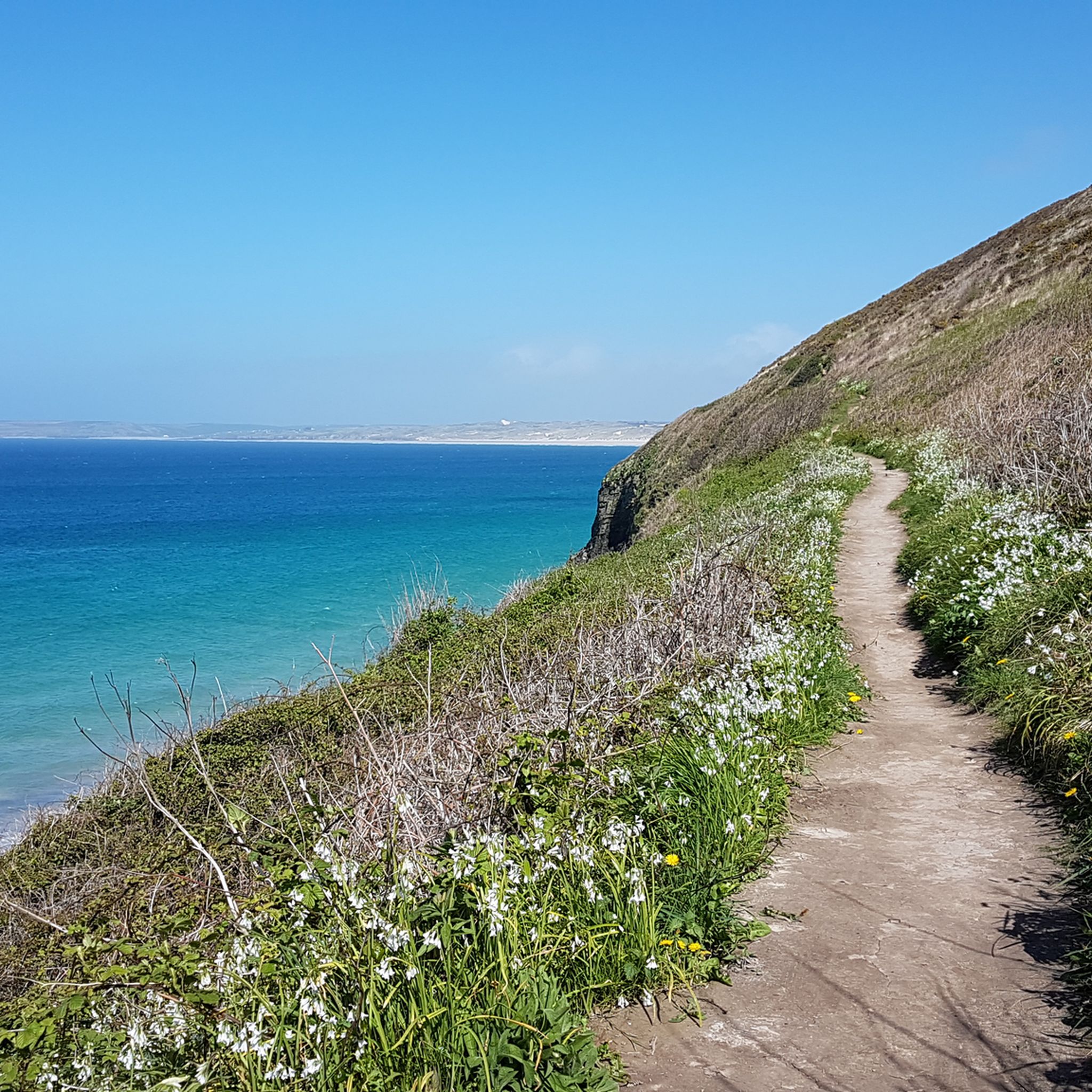
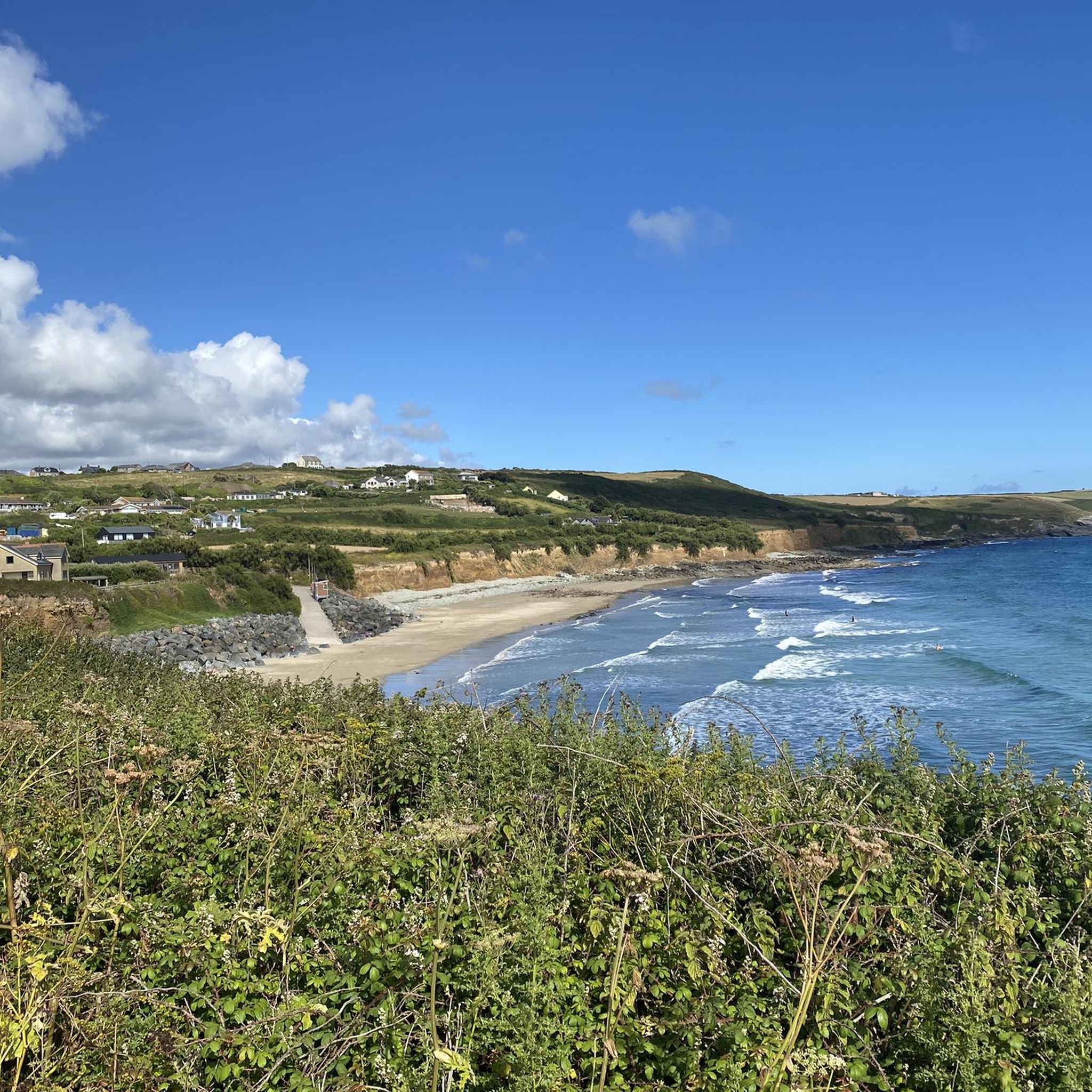
Road cycling routes around Perranuthnoe offer varied terrain along Cornwall's south coast. The region features low earthy cliffs, sandy coves, and undulating landscapes, providing both moderate and challenging ascents. Situated on the east side of Mount's Bay, the area is part of the Cornwall National Landscape, ensuring protected natural beauty. Road cyclists can expect coastal views and a mix of elevations.
Best road cycling routes around Perranuthnoe
- The most popular road cycling route is St Michael's Mount – View of…
Last updated: June 26, 2026
37
riders
27.7km
01:19
320m
320m
Moderate road ride. Good fitness required. Mostly well-paved surfaces and easy to ride.
34
riders
32.8km
01:39
300m
300m
Moderate road ride. Good fitness required. Mostly well-paved surfaces and easy to ride.

Sign up for free
5.0
(2)
9
riders
16.5km
00:48
140m
140m
Easy road ride. Great for any fitness level. Mostly well-paved surfaces and easy to ride.
8
riders
Moderate road ride. Good fitness required. Mostly well-paved surfaces and easy to ride.
8
riders
20.7km
00:58
210m
210m
Easy road ride. Great for any fitness level. Mostly well-paved surfaces and easy to ride.
Get access to more routes and recommendations from other explorers.
Sign up for free
Already have an account?
Our route recommendations are based on thousands of hikes, rides, and runs completed by other people on komoot.
Start today with a free account
Your next adventure awaits.
Login or Signup

Tips from the Community

Try parking just outside mousehole towards Penzance direction and walking the rest of the way it can be busy. There is also a car park next to the rockpool cafe.
0
0


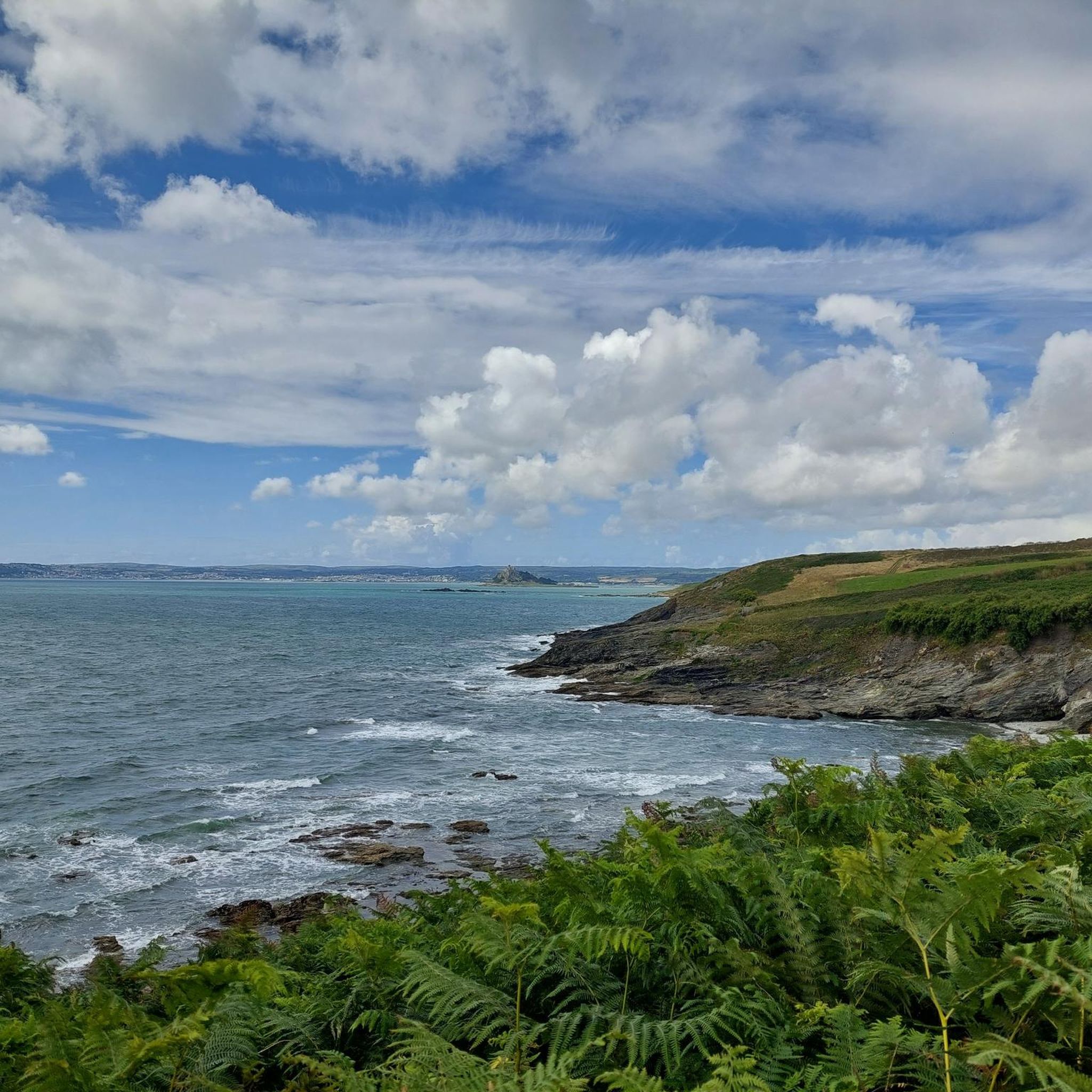
A very lovely view can be had from here of St Michael's Mount. Accessible during mid to low tide, it is a beautiful place to visit via its granite causeway. Go and see this iconic rocky island crowned by a medieval church and castle. One of the 43 unbridged islands in the UK that is accessible by foot.
0
0

If asked where a famous island was dedicated to St. Michael the Archangel, most people would probably answer the internationally renowned UNESCO World Heritage Site of Mont Saint-Michel in France, located off the coast of the English Channel on the border between Normandy and Brittany. But even here in southwest England – beyond the European mainland, off the British Isles – a "St. Michael's Mount" can be found.
0
0

Quite B roads mostly, with good country and sea views.
0
0

Tredrea Lane is a quiet, undulating and beautiful road between St Erth and Gwallon in southern Cornwall. It's a lovely place to ride, and hopefully the caravans will stick to the A30 which runs roughly parallel. This is part of the National Cycle Network long distance route 3 which connects Bristol and Land's End.
0
0

Somewhat quirky Anglican church tower with lots of crocheted kneeling cushions.
2
0
If asked where a famous island was dedicated to the Holy Archangel Michael, most people would probably answer the internationally famous UNESCO World Heritage Site "Mont Saint Michel" in France, located off the coast of the English Channel on the border between Normandy and Brittany. But a "St. Michael's Mount" can also be found in the southwest of England - beyond the European mainland, off the British Isles.
0
0
Frequently Asked Questions
How many road cycling routes are available around Perranuthnoe?
There are over 160 road cycling routes in the Perranuthnoe area, offering a wide range of options for different skill levels and preferences. You can find routes varying from easy coastal rides to more challenging ascents.
What kind of terrain can I expect on road cycling routes near Perranuthnoe?
The terrain around Perranuthnoe is characterized by stunning coastal scenery, low earthy cliffs, and sandy coves. You'll encounter undulating landscapes with both moderate and challenging ascents, providing a good workout with scenic rewards. Many routes offer expansive views across Mount's Bay.
Are there road cycling routes suitable for beginners or families in Perranuthnoe?
Yes, Perranuthnoe offers a good selection of routes suitable for beginners and families. There are 43 easy-grade road cycling routes available, perfect for those looking for a more relaxed ride. These often include coastal paths with gentle gradients and beautiful views.
What are some scenic viewpoints or landmarks I can see while cycling around Perranuthnoe?
Many routes offer breathtaking views across Mount's Bay, encompassing sights from Lizard Point to St Michael's Mount. You can also cycle past iconic landmarks such as St Michael's Mount itself, or explore charming fishing villages like Mousehole Village and Harbour. Cudden Point also provides glorious panoramic views.
What is the best time of year for road cycling in Perranuthnoe?
Perranuthnoe's coastal location means cycling can be enjoyed for much of the year. Spring and autumn often provide pleasant temperatures and fewer crowds, while summer offers longer daylight hours. Winter cycling is possible, but be prepared for potentially wetter and windier conditions, especially along the exposed coastline.
Are there any challenging road cycling routes with significant elevation gain?
Yes, for those seeking a challenge, the Perranuthnoe area offers routes with significant elevation gains. Some options include climbs exceeding 1500 feet, though it's worth noting that some of the most challenging routes might include unpaved sections where pushing your bike could be necessary. The 71.9 km 'Perranuthnoe Loop' is entirely paved and features ascents up to 113 meters, providing a good workout.
Where can I park my car when going road cycling in Perranuthnoe?
While specific parking locations for cyclists are not detailed, Perranuthnoe and nearby towns like Marazion often have public car parks. It's advisable to check local signage for parking regulations and fees upon arrival. Many routes start from villages with accessible parking options.
Can I reach Perranuthnoe by public transport with my bicycle?
Perranuthnoe is accessible by public transport, though bringing bicycles on buses or trains can vary. Penzance, a larger town nearby, has a train station. It's recommended to check with specific bus operators or Great Western Railway for their current policies regarding bicycles on board, as space can be limited, especially during peak times.
What do other road cyclists enjoy most about road cycling in Perranuthnoe?
The road cycling routes around Perranuthnoe are highly rated by the komoot community, with an average score of 4.6 stars from over 120 reviews. Cyclists frequently praise the stunning coastal views, the variety of terrain from easy to challenging, and the opportunity to explore charming villages and iconic landmarks along the way.
Are there any circular road cycling routes available?
Yes, many of the road cycling routes around Perranuthnoe are designed as loops, allowing you to start and finish in the same location. An example is the St Michael's Mount – View of Newlyn Harbour loop from Perranuthnoe, a 55.3 km route offering expansive views.
Can you recommend an easy road cycling route from Perranuthnoe?
An easy option is the Porthleven Coast Road – Porthleven Harbour loop from Perranuthnoe. This route is 20.7 km long with moderate elevation gain, taking you along the coast towards the charming Porthleven Harbour.
Are there any road cycling routes that pass through historic villages or towns?
Absolutely. The St Michael's Mount – Mousehole Harbour loop from Marazion is an excellent choice. This route leads through coastal villages and past iconic landmarks, including the picturesque Mousehole Village and Harbour, known for its narrow streets and charming cottages.
Most popular routes around Perranuthnoe
Most popular attractions around Perranuthnoe

Get inspired with the komoot mobile app


Explore more
Browse the best Road cycling routes in other regions.
