The best walks and hikes around St. Mewan
4.6
(822)
6,439
hikers
168
hikes
Hikes around St. Mewan explore a landscape shaped by Cornwall's industrial past and rolling countryside. The region is characterized by wooded valleys, former china clay workings, and access to coastal paths along St. Austell Bay. The terrain includes a mix of flat, traffic-free trails following old tramways and more moderate routes with some elevation gain.
Best hiking trails around St. Mewan
- The most popular hiking route is The China Clay Trail loop from St Austell, a 5.2 mile (8.4…
Last updated: June 25, 2026
4.9
(7)
36
hikers
8.38km
02:20
150m
150m
Hike the moderate 5.2-mile Wheal Martyn Trail Loop, exploring Cornwall's china clay mining history, mixed woodlands, and unique blue ponds.
3.3
(4)
10
hikers
13.9km
03:52
250m
250m
Hike the St Austell & Charlestown loop from the station, a moderate 8.7-mile route with coastal views and historic Charlestown Harbour.

Sign up for free
1.0
(1)
2
hikers
16.4km
04:29
240m
240m
Moderate hike. Good fitness required. Easily-accessible paths. Suitable for all skill levels.
4.7
(24)
183
hikers
23.6km
06:50
600m
600m
Hard hike. Very good fitness required. Easily-accessible paths. Suitable for all skill levels.
4.6
(7)
53
hikers
16.3km
04:31
290m
290m
Moderate hike. Good fitness required. Easily-accessible paths. Suitable for all skill levels.
Get access to more routes and recommendations from other explorers.
Sign up for free
Already have an account?
Our route recommendations are based on thousands of hikes, rides, and runs completed by other people on komoot.
Start today with a free account
Your next adventure awaits.
Login or Signup
Tips from the Community

Compacted gravel surface means it's still rideable even when it's wet. There does tend to be a lot of dog walkers along here.
0
0

The harbor lock is still under repair. Currently, there are no ships worth seeing in the harbor. Just an old shipwreck. So, nothing really worth seeing.
0
0

great campsite, great amenaties and good access to cycle routes.
0
0

Charlestown Harbour is the last open 18th-century Georgian harbour in the UK and is recognized as a UNESCO World Heritage Site. Renowned for its historic tall ships and picturesque setting, the harbour remains a vibrant working port and a popular filming location for TV and film productions such as Poldark and Taboo.
1
0

The Harbour gate failed in a recent storm due in part to a long-term lack of maintenance. As a result, the ships that were in the harbour all have been stranded every time the tide goes out. They have recently put shipping containers filled with aggregate where the gate was to keep water in as a temporary "fix"
0
0
This is permanently closed. All the artefacts have recently (November '24) been sold at auction.
0
0

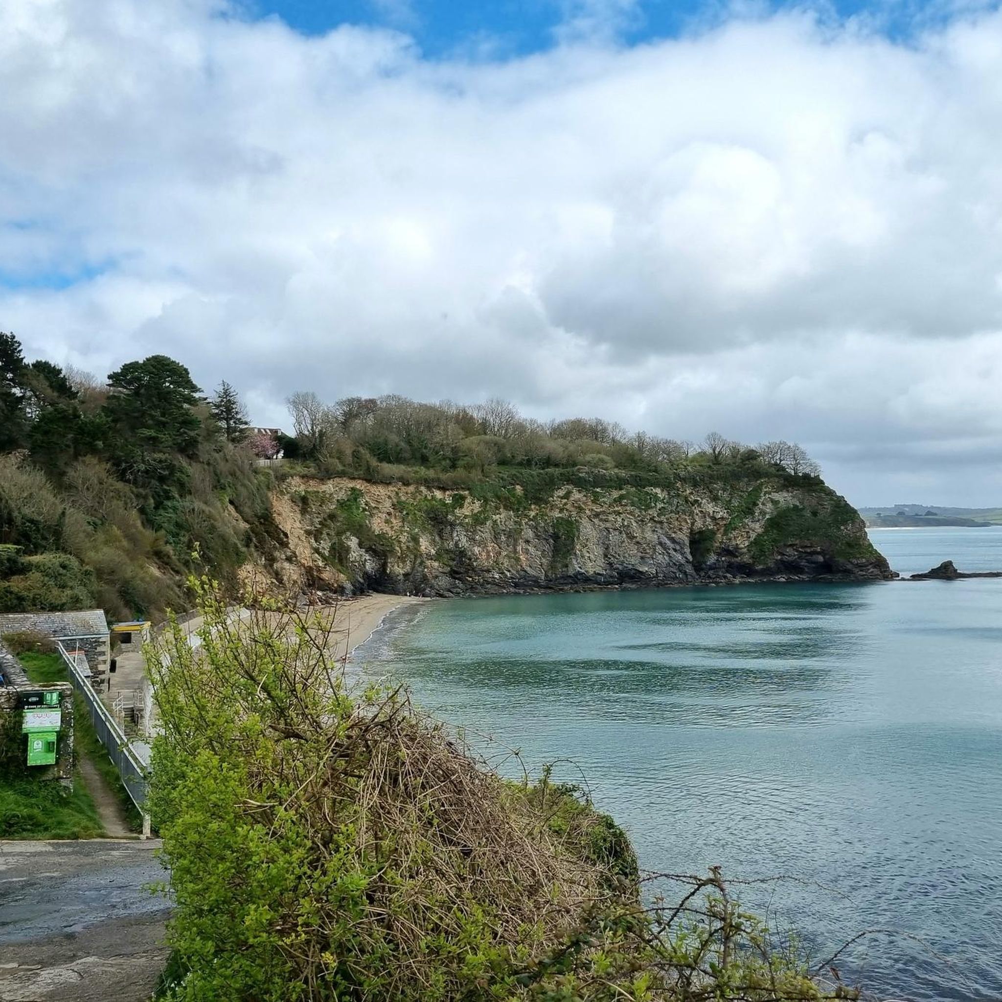
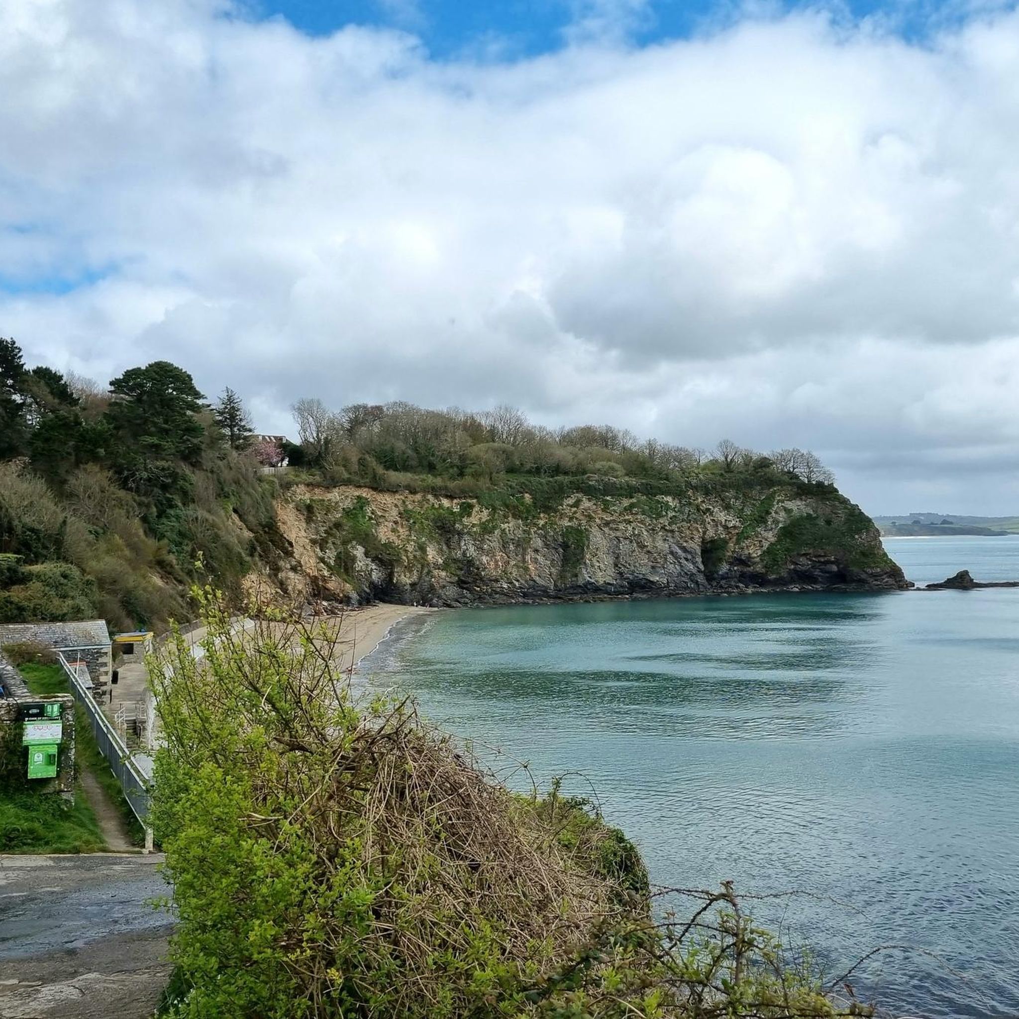
A well sheltered, rough sand and pebble beach which is great for swimming, snorkelling and rock pooling. A waterfall lands on the beach from the steam, to add to the attractiveness of the area.
0
0
Frequently Asked Questions
Are there many circular walks in the St. Mewan area?
Yes, the region offers many circular routes. A great example is the The China Clay Trail loop from St Austell, which provides a fascinating look into the area's industrial heritage over about 5.2 miles (8.4 km). For a more challenging coastal experience, the View of Pentewan Sands loop from St Austell is a difficult but rewarding 14.7-mile (23.6 km) hike with fantastic sea views.
What are the best family-friendly walks near St. Mewan?
The Pentewan Trail is an excellent choice for families. It's a largely flat, traffic-free path that follows a former tramway along the St. Austell River to the coastal village of Pentewan. The route is well-surfaced and suitable for walkers of all ages.
Are dogs allowed on the hiking trails?
Most trails in the St. Mewan area are dog-friendly, but it's always best to keep dogs on a lead, especially near farmland or on coastal cliffs. The Pentewan Trail and the Clay Trails are popular with dog walkers. Always be prepared to clean up after your pet to keep the trails enjoyable for everyone.
Can I find any walks that include a stop at a pub?
Many routes pass through or near villages with traditional Cornish pubs. For example, the St Austell & Charlestown loop takes you to the historic harbour of Charlestown, which has several pubs and restaurants perfect for a mid-hike break.
What are the Clay Trails and are they difficult to hike?
The Clay Trails are a unique network of paths that wind through the dramatic landscape of Cornwall's former china clay industry. You'll see towering white spoil heaps, known as the 'Cornish Alps', and old quarries now filled with turquoise water. The difficulty varies; some sections are flat, while others, like parts of The Eden Project & Wheal Martin Trail, involve steeper climbs that reward you with panoramic views.
Where can I find parking for hikes starting in St Austell?
St Austell has several public car parks, which are convenient starting points for many trails, including those heading into the Clay Country or towards the coast. For routes starting from the train station, there is an adjacent car park. It's advisable to check local signage for time limits and charges, especially during peak season.
Are there any coastal paths accessible from St. Mewan?
Yes, St. Mewan is very close to the South West Coast Path. You can easily access stunning coastal sections. A popular route combines the Pentewan valley with the coastline at Black Head, offering breathtaking views over St. Austell Bay and Mevagissey Bay. Another option is the walk from Pentewan to the picturesque fishing village of Mevagissey.
What do other hikers think of the trails around St. Mewan?
The trails are highly regarded by the komoot community, with an average rating of 4.6 stars. Hikers frequently praise the unique scenery of the Clay Trails and the beautiful coastal views. The mix of industrial heritage and natural landscapes is often mentioned as a highlight of hiking in the region.
Are there any easy walks suitable for beginners?
Absolutely. The Pentewan Trail is one of the best options for beginners, as it's mostly flat and easy to follow. For a short coastal walk, the Black Head loop is relatively easy, though it does have some gentle ascents and descents. Many of the shorter paths within the Clay Trails network are also well-suited for a gentle stroll.
Can I reach any of the trails using public transport?
Yes, St Austell's train station is a great hub for starting several hikes. From there, you can directly access trails leading to Charlestown, the Eden Project, and into the Clay Country, making it easy to explore the area without a car.
Are there any historical trails in the area?
The entire region is steeped in history. The Clay Trails explore the heart of Cornwall's china clay industry, while the Pentewan Trail follows the route of a 19th-century horse-drawn tramway. For a mix of coastal and ancient history, the Silvermine Valley Cove – Hallane Mill Beach loop from Polgooth passes near the remains of an Iron Age fort at Black Head.
Where can I find a map of the public footpaths?
Komoot provides detailed maps for every route. For the Clay Trails specifically, you can find a helpful overview map and guide available as a PDF from the local council. You can download it from the St Austell Town Council website.
Most popular attractions around St. Mewan

Get inspired with the komoot mobile app


Explore more
Browse the best Hikes in other regions.
