The best running trails around Pucklechurch
4.3
(319)
31,642
runners
974
runs
Jogging around Pucklechurch offers a network of routes through the South Gloucestershire countryside, characterized by rolling hills, open fields, and sections of former railway paths. The area provides varied terrain, including paved sections and unpaved trails, suitable for different running preferences. Many routes incorporate historical features and green spaces, connecting villages and natural areas.
Best jogging routes around Pucklechurch
- The most popular jogging route is Staple Hill Tunnel – Old Mangotsfield Station Walls loop from Emersons Green, a difficult 9.8 miles (15.8 km) trail that takes about 1 hour 38 minutes to complete. This route features sections along disused railway lines, including the Staple Hill Tunnel.
- Another top favourite among local runners is Old Mangotsfield Station Walls – Warmley Waiting Room Cafe loop from Emersons Green, a moderate 9.0 miles (14.5 km) path. This route follows a well-maintained path, often on a former railway line, offering a consistent surface for running.
- Local runners also love the Brandy Bottom Colliery – Brandy Bottom Colliery Ruins loop from Emersons Green, a 5.0 miles (8.1 km) trail leading through a landscape with historical industrial features, often completed in about 51 minutes.
- Jogging around Pucklechurch is defined by former railway paths, open countryside, and green spaces, offering a mix of surfaces from paved to unpaved. The network provides options for different ability levels, from beginner jogging routes to more challenging running trails.
- The routes in Pucklechurch are highly rated by the komoot community with an average score of 4.3 stars from over 280 reviews. More than 28,000 runners have used komoot to explore Pucklechurch's varied terrain.
Last updated: August 15, 2026
5.0
(2)
105
runners
Moderate run. Good fitness required. Mostly paved surfaces. Suitable for all skill levels.
4.0
(2)
38
runners
15.8km
01:38
90m
90m
Hard run. Very good fitness required. Mostly paved surfaces. Suitable for all skill levels.

Sign up for free
29
runners
Moderate run. Good fitness required. Mostly paved surfaces. Suitable for all skill levels.
26
runners
Moderate run. Good fitness required. Mostly paved surfaces. Suitable for all skill levels.
4.0
(4)
26
runners
Moderate run. Good fitness required. Mostly paved surfaces. Suitable for all skill levels.
Get access to more routes and recommendations from other explorers.
Sign up for free
Already have an account?
Our route recommendations are based on thousands of hikes, rides, and runs completed by other people on komoot.
Start today with a free account
Your next adventure awaits.
Login or Signup


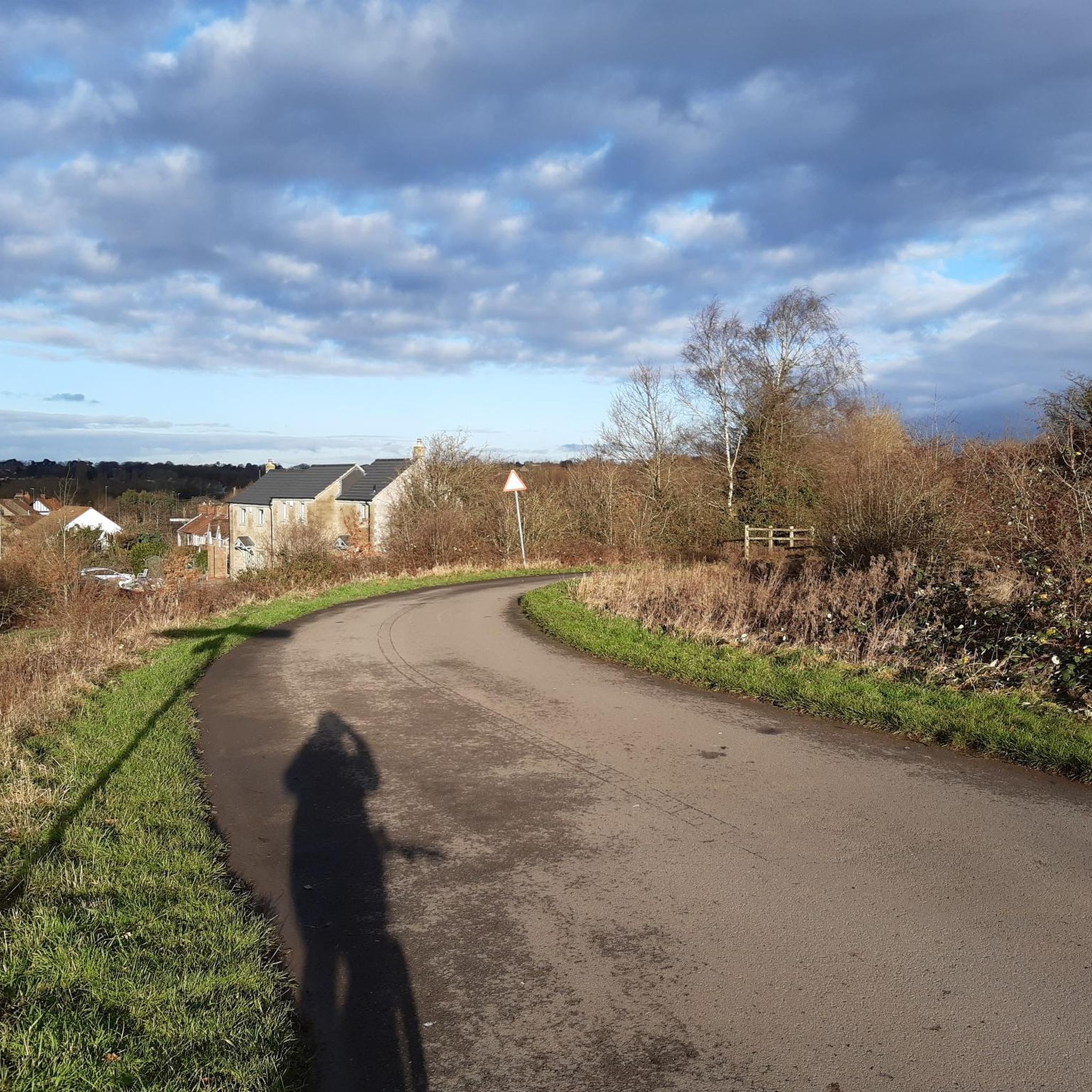
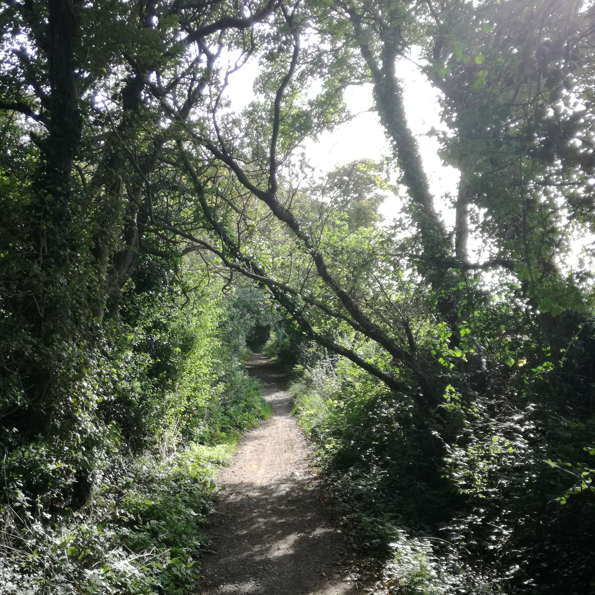
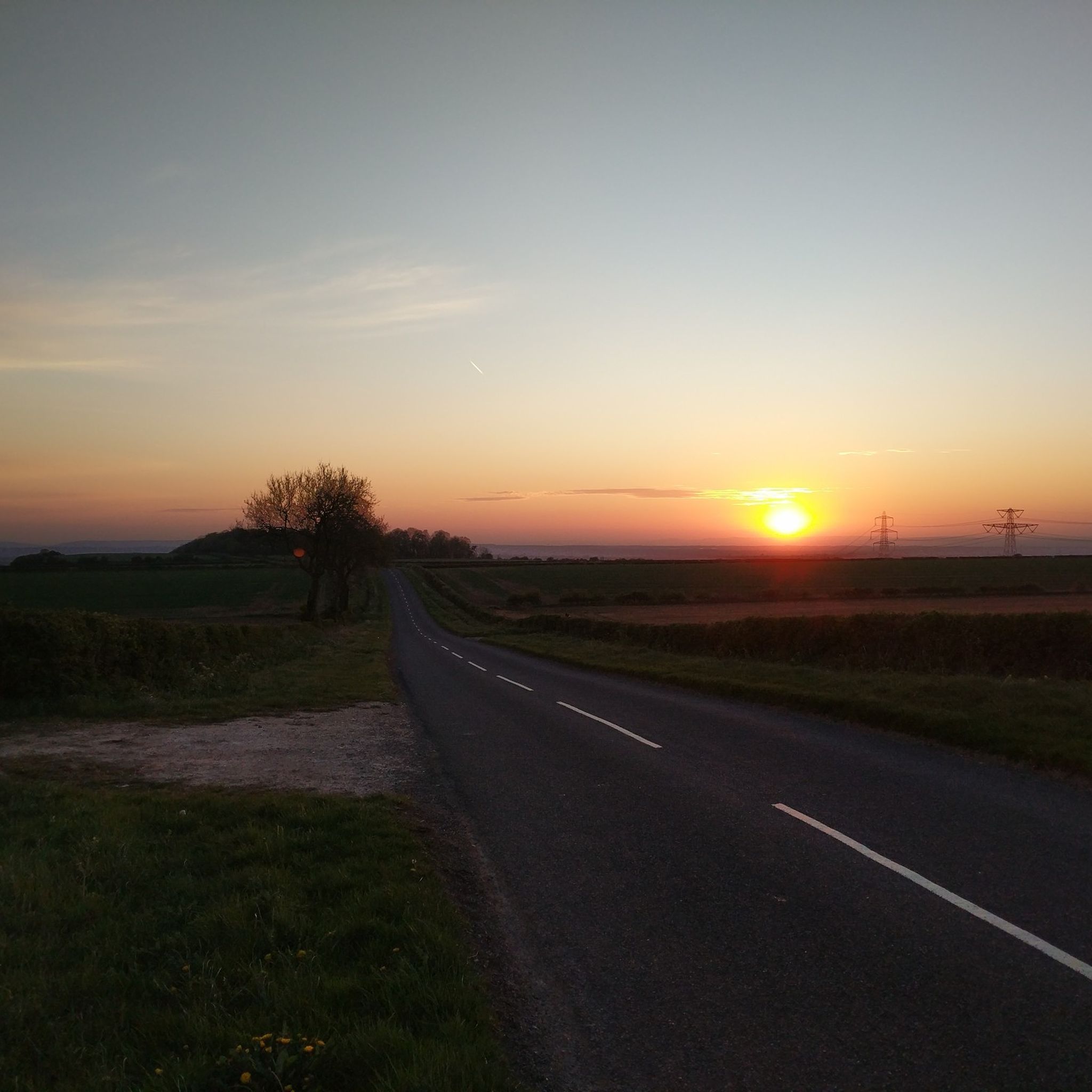
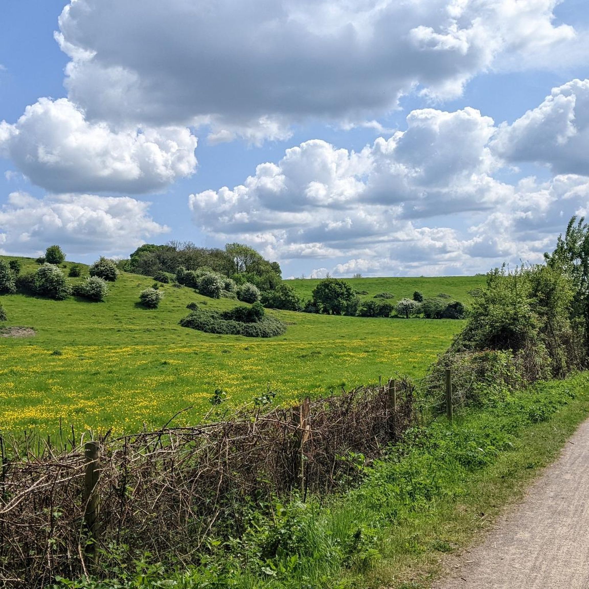
Other adventures around Pucklechurch

Tips from the Community


Just away from the open common is a gorgeous woodland area which leads to the cycle path & ring road path where you can easily walk / ride to some great places
0
0
At a main crossroads of the Bristol - Bath cycle path, there is this. Mangotsfield railway station. It's now been taken over by nature & is utterly gorgeous! Opened in 1869, and lasting all the way to closing 100 years later, it had a really good run! It goes to show how quickly times were changing in the 19th & 20th centuries. What I love about it is that it's been left there. It's so surreal & beautiful. The platforms are obvious, a similar height to today, and there's a waiting room structure as well. It's all been reclaimed by nature in the last (almost) 50 years. If we allow nature the time and space; it will come back.
0
0


Just so much nicer around the surrounding roads too as it’s reduced traffic and slowed all the loons down.
0
0

This is an interesting location around the Old Mangotsfield Station. There are two big walls adjacent to each other that are free standing, these look like listed buildings. The cycleway around this area is good
0
0

Brandy Bottom Colliery, located just off the Bath-Bristol cycle path, was an important coal mining site in the 19th century, particularly known for its deep mine workings. The site features remnants of the colliery, including old structures and spoil heaps. It operated during a time of significant coal production in the area before eventually closing. Today, it serves as a historical point of interest along the cycling route, illustrating the region's industrial heritage
1
0

An excellent section of bike path just off the Bath to Bristol. It is laid with tarmac and goes past the old colliery. Note that towards the end at the woods it can get quite muddy. This is especially so in Winter and especially if you take the fork on to the Dramway towards Westerleigh.
0
0
Frequently Asked Questions
How many running routes are available around Pucklechurch?
Pucklechurch and its surrounding area offer a wide selection of running opportunities, with over 960 routes available on komoot. These range from easy jogs to more challenging trails, catering to various fitness levels.
Are there easy running routes suitable for beginners in Pucklechurch?
Yes, Pucklechurch has numerous easy running routes perfect for beginners. There are 116 routes classified as easy. Many of these follow former railway paths, offering relatively flat and consistent surfaces. For example, shorter sections of the routes around Emersons Green can be adapted for an easier run, such as parts of the Old Mangotsfield Station Walls – Rodway Common loop.
What are some challenging running trails for experienced runners in the Pucklechurch area?
For those seeking a challenge, Pucklechurch offers 138 difficult running trails. These often involve longer distances and more varied terrain, including the rolling hills of the South Gloucestershire countryside. A notable challenging route is the Staple Hill Tunnel – Old Mangotsfield Station Walls loop from Emersons Green, which covers nearly 10 miles and includes sections along disused railway lines.
Are there any circular jogging routes around Pucklechurch?
Many of the running routes in Pucklechurch are designed as circular loops, allowing you to start and finish in the same location. Examples include the Old Mangotsfield Station Walls – Warmley Waiting Room Cafe loop from Emersons Green and the Brandy Bottom Colliery – Brandy Bottom Colliery Ruins loop from Emersons Green, both offering scenic round trips.
What kind of natural attractions or viewpoints can I expect to see on running trails near Pucklechurch?
The running routes around Pucklechurch often pass through areas with interesting natural features and viewpoints. You might encounter natural monuments like Golden Valley Nature Reserve Waterfall or enjoy panoramic views from Kelston Roundhill. The area also features several lakes, such as Duchess Pond, providing picturesque spots along your run.
Are the running routes in Pucklechurch suitable for families?
Yes, many routes in Pucklechurch are suitable for families, especially those that follow the well-maintained former railway lines. These paths often have gentler gradients and consistent surfaces, making them ideal for a family jog or walk. Look for routes classified as 'easy' or 'moderate' for the most family-friendly options.
Can I bring my dog on the running trails in Pucklechurch?
Many of the trails in the Pucklechurch area are dog-friendly, particularly those through open fields and along disused railway paths. However, it's always advisable to keep dogs on a lead, especially near livestock or in nature reserves like Wapley Bushes Local Nature Reserve, to protect wildlife and ensure a pleasant experience for everyone.
What do other runners say about the jogging experience in Pucklechurch?
The running routes in Pucklechurch are highly regarded by the komoot community, holding an average rating of 4.3 stars from over 280 reviews. Runners frequently praise the varied terrain, the mix of paved and unpaved sections, and the peaceful countryside atmosphere. Many appreciate the historical features and green spaces encountered along the trails.
Are there routes that incorporate historical sites or industrial heritage?
Absolutely. Pucklechurch's landscape is rich with historical industrial features, particularly along the former railway lines. The Brandy Bottom Colliery – Brandy Bottom Colliery Ruins loop from Emersons Green is a prime example, leading you through a landscape marked by its mining past. You might also encounter sites like Uley Bury Iron Age Hill Fort or Sir Bevil Grenville's Monument in the wider region.
What is the best time of year to go running in Pucklechurch?
Pucklechurch offers enjoyable running conditions throughout the year. Spring and autumn provide pleasant temperatures and beautiful scenery with changing foliage. Summer is great for early morning or late evening runs to avoid the heat, while winter runs can be invigorating, though some unpaved sections might be muddy. The former railway paths generally offer more consistent surfaces regardless of the season.
Are there any running routes that pass by cafes or pubs for a stop?
Yes, some routes are conveniently located near local amenities. For instance, the Old Mangotsfield Station Walls – Warmley Waiting Room Cafe loop from Emersons Green passes by the Warmley Waiting Room Cafe, offering a perfect spot for a break or refreshment during your run.
Most popular routes around Pucklechurch
Most popular attractions around Pucklechurch

Get inspired with the komoot mobile app


Explore more
Browse the best Running Trails & Routes in other regions.
