The best road cycling routes around Pucklechurch
4.4
(848)
31,990
riders
813
rides
Road cycling routes around Pucklechurch traverse a diverse landscape of rolling countryside, farmland, and woodlands. The area is characterized by the Pucklechurch Ridge, offering steeply sloping hillsides, and the scenic Boyd Valley. Cyclists can also access the Bristol-Bath Railway Path, a disused railway line, providing a distinct cycling experience. This region offers a mix of terrain, from gentle paths to more challenging ascents.
Best road cycling routes around Pucklechurch
- The most popular road cycling route is Somerset Monument – Sodbury Common Road loop from Emersons Green, a 30.8 miles (49.6 km) trail that takes 2 hours 15 minutes to complete. This route offers varied terrain through the local countryside.
- Another top favourite among local road cyclists is Viewpoint near Bristol – Warmley Forest Park loop from Emersons Green, an easy 10.1 miles (16.3 km) path. This route provides views near Bristol and passes through Warmley Forest Park.
- Local road cyclists also love the Old Mangotsfield Station Walls – Brandy Bottom Colliery Ruins loop from Kingswood, a 17.4 miles (27.9 km) trail leading through historical sites like the Brandy Bottom Colliery Ruins, often completed in about 1 hour 15 minutes.
- Road cycling around Pucklechurch is defined by rolling countryside, the Pucklechurch Ridge, and sections of disused railway paths. The network offers options for different ability levels, from easy loops to moderate challenges.
- The routes in Pucklechurch are highly rated by the komoot community with an average score of 4.5 stars from over 670 reviews. More than 29,000 road cyclists have used komoot to explore Pucklechurch's varied terrain.
Last updated: August 23, 2026
4.3
(3)
82
riders
Easy road ride. Great for any fitness level. Mostly well-paved surfaces and easy to ride.
4.5
(4)
78
riders
Easy road ride. Great for any fitness level. Mostly well-paved surfaces and easy to ride.

Sign up for free
5.0
(1)
18
riders
29.7km
01:14
180m
180m
Easy road ride. Great for any fitness level. Mostly well-paved surfaces and easy to ride.
3.0
(1)
12
riders
18.3km
00:49
140m
140m
Easy road ride. Great for any fitness level. Mostly well-paved surfaces and easy to ride.
16
riders
40.6km
01:48
410m
410m
Moderate road ride. Good fitness required. Mostly well-paved surfaces and easy to ride.
Get access to more routes and recommendations from other explorers.
Sign up for free
Already have an account?
Our route recommendations are based on thousands of hikes, rides, and runs completed by other people on komoot.
Start today with a free account
Your next adventure awaits.
Login or Signup



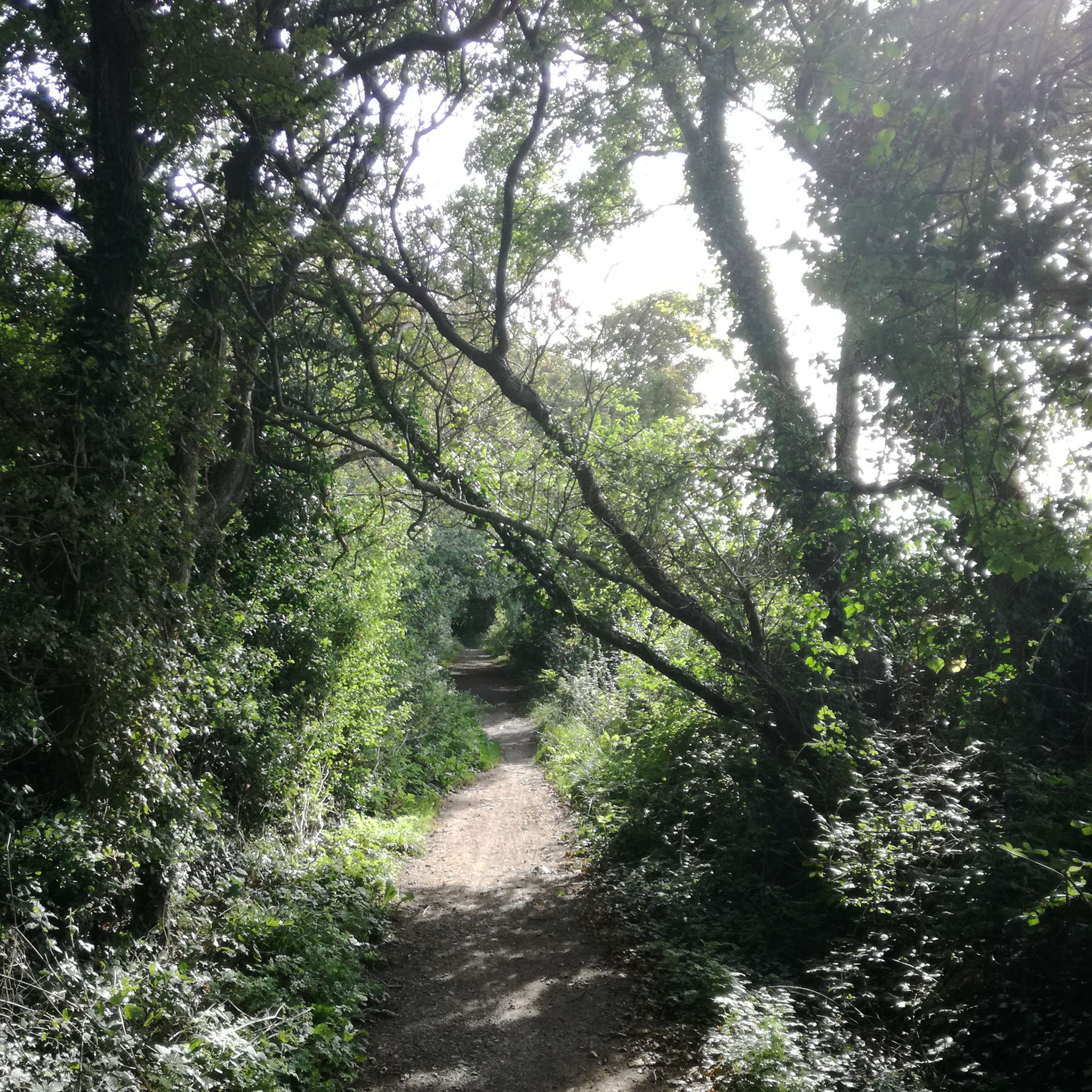
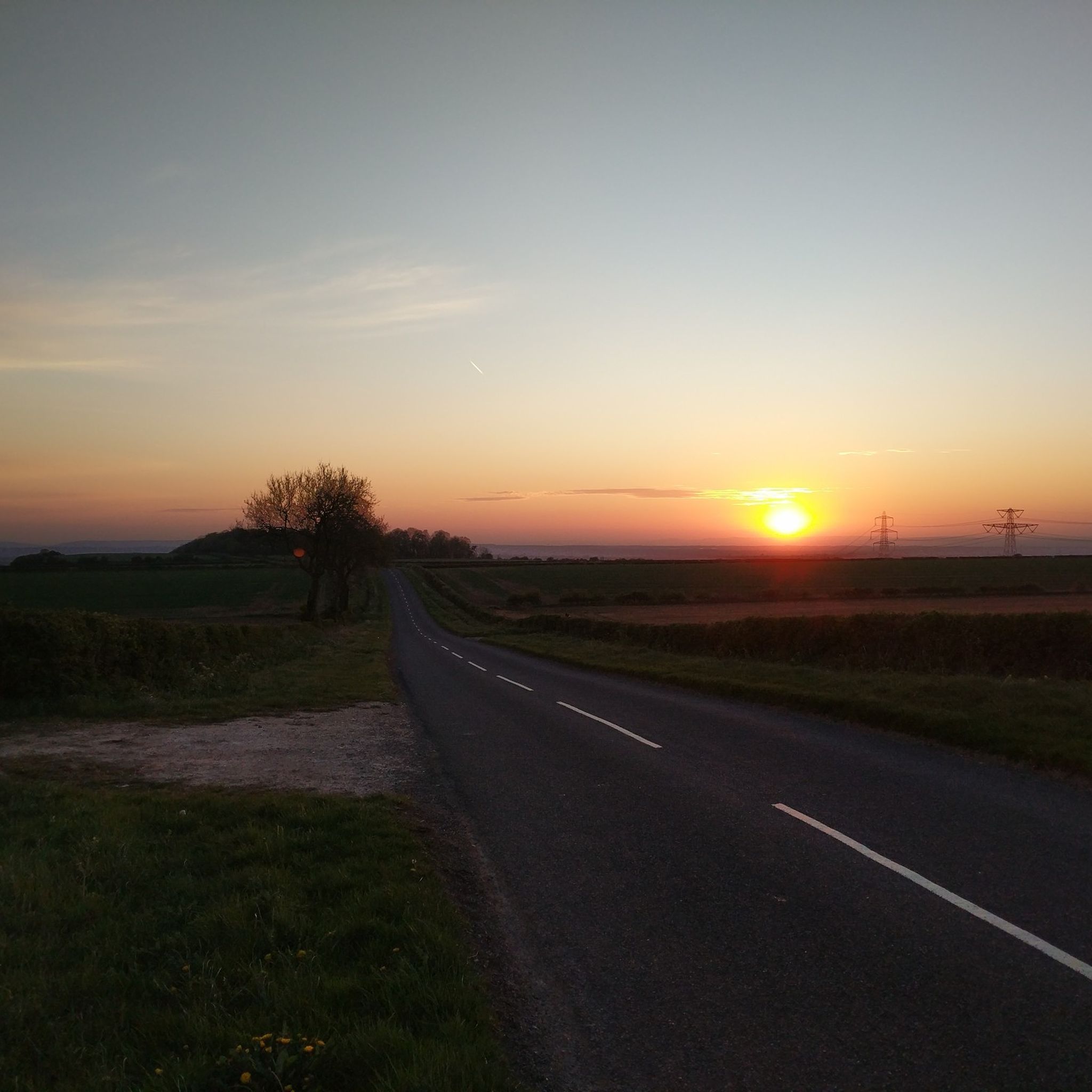
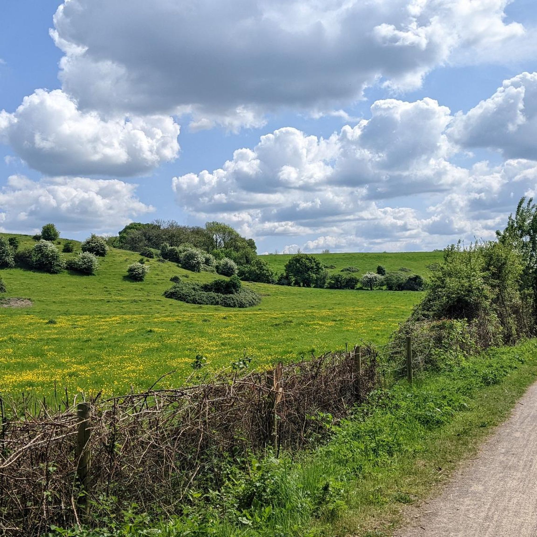
Other adventures around Pucklechurch

Tips from the Community

Tricky crossing the A road but if you get to the middle someone will let you across!
0
0


Nice cycleway, well used, but not overcrowded and away from traffic noise
0
0

At a main crossroads of the Bristol - Bath cycle path, there is this. Mangotsfield railway station. It's now been taken over by nature & is utterly gorgeous! Opened in 1869, and lasting all the way to closing 100 years later, it had a really good run! It goes to show how quickly times were changing in the 19th & 20th centuries. What I love about it is that it's been left there. It's so surreal & beautiful. The platforms are obvious, a similar height to today, and there's a waiting room structure as well. It's all been reclaimed by nature in the last (almost) 50 years. If we allow nature the time and space; it will come back.
0
0


Bitton Station part of the Heritage Avon railway Valley line. well worth a stop
0
0
Frequently Asked Questions
How many road cycling routes are available around Pucklechurch?
There are over 800 road cycling routes around Pucklechurch, offering a wide variety of options for different skill levels and preferences. This includes routes through rolling countryside, farmland, and woodlands.
Are there easy road cycling routes suitable for beginners or families in Pucklechurch?
Yes, Pucklechurch offers numerous easy road cycling routes. For instance, the Viewpoint near Bristol – Warmley Forest Park loop from Emersons Green is an easy 10.1-mile (16.3 km) path. The area also provides access to the Bristol-Bath Railway Path, a disused railway line that offers a gentler cycling experience.
What are the difficulty levels of road cycling routes in Pucklechurch?
The road cycling routes around Pucklechurch cater to all levels. You'll find over 270 easy routes, more than 450 moderate routes, and over 100 challenging routes. This diverse terrain includes gentle paths, rolling countryside, and steeply sloping hillsides on the Pucklechurch Ridge.
Are there road cycling routes with scenic viewpoints in Pucklechurch?
Absolutely. The Pucklechurch Ridge offers panoramic views, and nearby Kelston Roundhill provides spellbinding views across Bath, Bristol, and Somerset, including landmarks like the Severn bridges and the Mendip Hills. Many routes traverse this picturesque landscape.
What historical sites can I see along the road cycling routes in Pucklechurch?
You can explore several historical sites. The Old Mangotsfield Station Walls – Brandy Bottom Colliery Ruins loop from Kingswood takes you past the Brandy Bottom Colliery Ruins, remnants of a 19th-century coal mining site. Additionally, the Staple Hill Tunnel, part of the Bristol-Bath Railway Path, is a notable historic feature.
Are there any circular road cycling routes around Pucklechurch?
Yes, many routes in the area are circular, allowing you to start and end in the same location. An example is the Somerset Monument – Sodbury Common Road loop from Emersons Green, a 30.8-mile (49.6 km) trail offering varied terrain.
What do other road cyclists enjoy most about road cycling in Pucklechurch?
The komoot community highly rates road cycling in Pucklechurch, with an average score of 4.5 stars from over 670 reviews. Cyclists often praise the diverse landscape, including rolling countryside and woodlands, as well as the mix of terrain from gentle paths to more challenging ascents. The access to the Bristol-Bath Railway Path is also a popular feature.
What is the best time of year for road biking in Pucklechurch?
Pucklechurch's diverse landscapes are enjoyable year-round. Spring and autumn offer pleasant temperatures and vibrant scenery. Even in winter, the Bristol-Bath Railway Path's Staple Hill Tunnel is lit, making it accessible, though cyclists should use their own lights.
Are there road cycling routes that pass by cafes or refreshment stops?
While specific cafes are not always listed on every route, many routes pass through or near villages and towns where you can find refreshment stops. For example, The Old Dairy Café loop from Emersons Green is a route designed to include a café stop.
How can I access road cycling routes in Pucklechurch using public transport?
Pucklechurch is well-connected, and its proximity to Bristol and Bath means you can often reach starting points by public transport. The Bristol-Bath Railway Path is particularly accessible, as it follows a disused railway line, making it easy to join from various points along its length.
Are there any natural features or woodlands to explore while road cycling?
Yes, the area is rich in natural beauty. You'll cycle through an idyllic patchwork of rolling countryside, farmland, and woodlands. Key natural highlights include the Pucklechurch Ridge, the scenic Boyd Valley, and the emerging Pucklechurch Wood, which is a substantial new woodland development.
What other attractions are near the road cycling routes in Pucklechurch?
Beyond cycling, you can explore the Brandy Bottom Colliery Ruins, or visit the village center via the Pucklechurch Village Trail to see historic sites like the 13th-century Church of St Thomas à Becket. For more information on the village's heritage, you can consult the Pucklechurch Conservation Area document from South Gloucestershire Council.
Most popular routes around Pucklechurch
Most popular attractions around Pucklechurch

Get inspired with the komoot mobile app


Explore more
Browse the best Road cycling routes in other regions.
