The best walks and hikes around Carnlough North
4.7
(210)
1,578
hikers
23
hikes
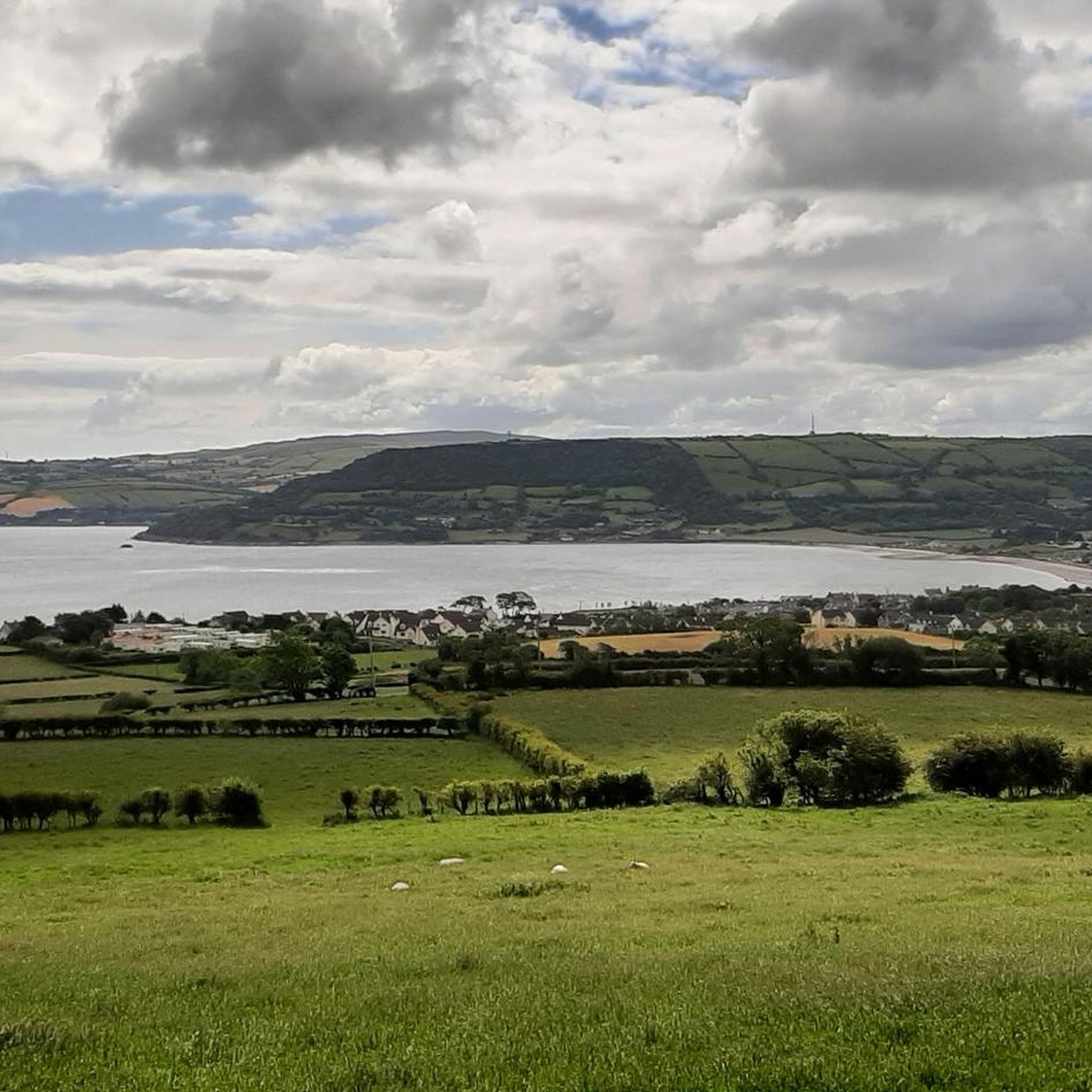
Walking routes near Carnlough Antrim are set within the Antrim Coast and Glens Area of Outstanding Natural Beauty. The region is characterized by its rugged coastline, deep glens, and lush woodlands. Trails often follow former industrial railway lines to waterfalls or wind through forest parks, offering a mix of coastal and inland scenery.
Best hiking trails around Carnlough North
- The most popular hiking route is the Cranny Falls from Carnlough — Antrim Coast & Glens, a 2.7 mile (4.3 km) trail that takes around 1 hour 10 minutes to complete. The path follows the route of a former limestone railway line to the waterfall.
- Another top favourite among local hiking enthusiasts is the Scenic Trail — Antrim Coast & Glens, a moderate 6.0 mile (9.6 km) path. This route descends into a river gorge before climbing to viewpoints over the glen and sea.
- Local hiking enthusiasts also love the Waterfall Trail via Rainbow Trail — Antrim Coast & Glens, a 2.8 mile (4.6 km) trail leading through a steep-sided gorge, often completed in about 1 hour 20 minutes.
- Hiking around Carnlough North is defined by coastal paths, woodland trails, and routes through deep glens to waterfalls. The network of trails provides options for various fitness and experience levels.
- The routes in Carnlough North are highly rated by the komoot community with an average score of 4.7 stars from over 180 reviews. More than 1,400 hikers have used komoot to explore Carnlough North's varied terrain.
Last updated: June 23, 2026
4.7
(90)
496
hikers
4.56km
01:21
140m
140m
Embark on an easy hike through Glenariff Forest Park on the Waterfall Trail via Rainbow Trail. This route covers 2.8 miles (4.6 km) with an elevation gain of 447 feet (136 metres), taking about 1 hour and 20 minutes to complete. You will wind through a lush river gorge, passing impressive waterfalls like Ess-na-Larach and Ess-na-Crub, and traverse elevated timber boardwalks that lead you directly alongside the river.
When planning your visit, be aware that while the trail is generally easy and family-friendly, it does feature some steep sections, steps, and boardwalks, especially when descending into the gorge. Some parts can be uneven or muddy, so sturdy footwear is a good idea. The park is accessible, and you can find parking facilities there; check the official park website for any potential fees or specific opening times before you go.
This trail is a highlight within Glenariff Forest Park, known as "the Queen of the Glens" and considered one of Northern Ireland's best waterfall walks. Part of Glenariff Glen is a National Nature Reserve, recognized for its rich biodiversity, particularly the unique mosses, liverworts, and ferns thriving in the rocky gorges. The combination of stunning waterfalls, dense woodland, and the distinctive boardwalk creates a memorable hiking adventure.
4.8
(50)
389
hikers
9.60km
02:47
240m
240m
The Scenic Trail provides a moderate hiking experience through diverse landscapes. You will cover 6.0 miles (9.6 km) and gain 776 feet (237 metres) in elevation, typically taking about 2 hours and 46 minutes to complete. As you hike, you can expect to see vibrant wildflowers and tall trees, especially as you approach the panoramic vistas from the Glenariff Forest Park — Viewpoint and Trailhead. The route also features a charming crossing over the Inver River, adding to the picturesque journey. This trail offers a balanced challenge for hikers.
Planning your visit is straightforward, as the trailhead is easily accessible within Glenariff Forest Park. You will find parking available directly at the Glenariff Forest Park — Viewpoint and Trailhead, making it convenient to begin your hike. This accessibility makes the route a great option if you are looking for a scenic hike with easy access. Consider starting your hike earlier in the day to fully enjoy the park's tranquility.
This trail is situated within Glenariff Forest Park, an area known for its natural beauty and varied ecosystems. The park itself is often referred to as the 'Queen of the Glens' due to its stunning scenery and lush environment. The route offers a rewarding experience for those looking to immerse themselves in the unique natural setting of the Antrim Glens. You will find that the trail highlights the best of the park's features.

Sign up for free
4.3
(11)
73
hikers
4.74km
01:21
110m
110m
Embark on the Glenarm Forest loop, an easy hike that guides you through tranquil woodland and along the serene Glenarm River. This accessible route covers 2.9 miles (4.7 km) with a gentle elevation gain of 359 feet (110 metres), making it suitable for all skill levels and taking approximately 1 hour and 20 minutes to complete. You will wander through shaded paths lined with a variety of trees like oak, beech, and Sitka spruce, with bluebells and primroses dotting the forest floor in season. The well-maintained forest tracks and gentle riverside trails offer a pleasant and quiet experience, perfect for a relaxing outing.
This popular loop is a favorite among local hikers due to its ease and accessibility. While the research mentions broader trails in Glenarm Forest can have short, steep climbs, this specific loop is known for its gentle nature. The trail is generally open year-round, offering different charms with each season. You can find parking available near the trailhead, making it convenient for a day trip. Always check local signage for any specific access information or temporary closures before you head out.
The Glenarm Forest loop is notable for its significant portion following the Glenarm River, providing excellent opportunities for spotting wildlife such as brown trout, salmon, mallards, and even otters. The area is rich in history, being the southernmost of the nine Glens of Antrim, and is home to the majestic Glenarm Castle and Gardens, which you can visit in the nearby picturesque village. You can also discover industrial archaeology along the trails, including
4.5
(8)
67
hikers
4.29km
01:12
90m
90m
Embark on an easy hike to Cranny Falls from Carnlough, a picturesque 2.7-mile (4.3 km) route with a gentle 283 feet (86 metres) of elevation gain, taking approximately 1 hour and 12 minutes. The trail follows the winding Carnlough River through open fields and past the disused Gortin Quarry, offering coastal views of Carnlough Bay and the Irish Sea. As you approach the falls, the path becomes more forested, leading to the serene cascading waters nestled in a rocky, shaded ravine where ferns and mosses thrive. You will encounter off-road paths, some rough sections, and obstacles like bridges and steps along the way.
This accessible trail is suitable for most fitness levels and ages, making it a great choice for a leisurely outing. The route begins conveniently near a community center, providing an easy starting point for your adventure. While enjoyable year-round, visiting in spring offers the added delight of seeing agricultural fields adorned with carpets of bluebells, enhancing the natural beauty of the walk.
Discover the historical significance of the area as the trail utilizes the route of an old limestone railway line, built around 1853 to transport limestone, with interpretation panels detailing its past. Cranny Falls itself is a key highlight, not only for its tranquil beauty but also for its unique botanical importance; it is the only known site in Ireland for the scarce Wood Barley plant, which flourishes in the moist environment around the falls. This trail is often regarded as a
4.8
(6)
24
hikers
5.37km
01:31
130m
130m
Enjoy an easy 3.3-mile hike through the Antrim Coast & Glens to Gortin Quarry for coastal views, though Cranny Falls access is currently clo
Get access to more routes and recommendations from other explorers.
Sign up for free
Already have an account?
Our route recommendations are based on thousands of hikes, rides, and runs completed by other people on komoot.
Start today with a free account
Your next adventure awaits.
Login or Signup
Popular around Carnlough North
Tips from the Community

Very beautiful waterfalls along the way and very well developed.
1
0

Don’t need much by way of gear to get round here.
0
0

Glenariff Forest Park is a beautiful park located in County Antrim in Northern Ireland. The park covers over 1,185 hectares and has a number of scenic trails that run past some of the most beautiful waterfalls in Northern Ireland. We spent a day hiking around this beautiful waterfall.
0
0

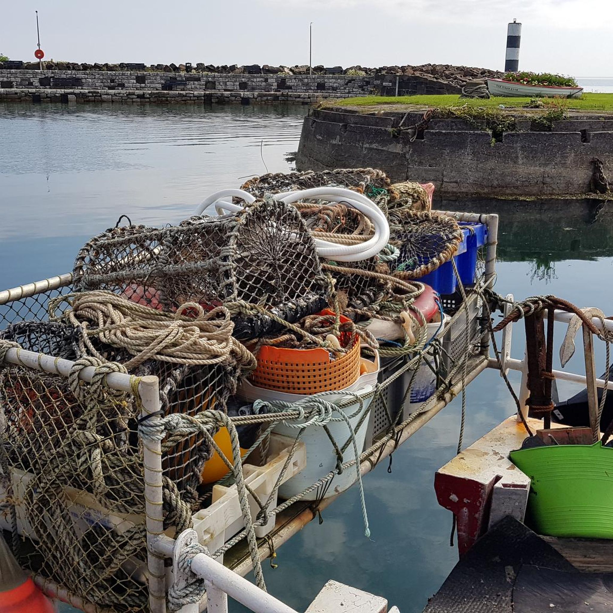
An old-fashioned marina in a fishing village. An idyllic place to stop during the long walk on this stretch of the CCR.
2
0

From the bridge you have a great view of the water
0
0

A truly beautiful spot to visit a nice easy walk but the path to the falls is a little narrow and you need to take care if it’s wet.
1
0

Explore the rich history of Gortin Quarry, a site of great importance in supplying construction materials to the local area. Although the quarry is no longer in operation, it has evolved into a picturesque destination perfect for a leisurely stroll. From here, you can enjoy stunning views of the beautiful Antrim coast and Irish Sea.
2
0

Many walks start out from the information centre near the parking. It costs £5 (2023) to park at the visitor centre. Entry on foot is free. The waterfall walk takes you down into the gorge where you can walk along paths and wooden walkways to admire the waterfalls.
0
0
Frequently Asked Questions
Are there any easy, family-friendly walks near Carnlough?
Yes, the area is great for families. The walk to Cranny Falls is particularly popular as it follows a gentle path along a former railway line. Straidkilly Nature Reserve also offers shorter tracks that are perfect for adventures with children, with the added bonus of looking for red squirrels and wildflowers in spring.
Can I bring my dog on hikes around Carnlough?
Many trails in the Carnlough area are suitable for dogs, but they should be kept on a lead, especially near farmland and in nature reserves to protect wildlife. Glenariff Forest Park has several waymarked trails where you can walk with your dog. Always check local signage for specific restrictions before you start.
Where can I find hikes with waterfalls?
The region is famous for its waterfalls. A short drive from Carnlough, Glenariff Forest Park, known as the 'Queen of the Glens', features a stunning timber boardwalk trail that gets you close to several impressive cascades. For a walk starting in the village itself, the trail to Cranny Falls is a fantastic option.
Are there any circular walking routes available?
Yes, there are several loop trails. For a walk that combines local history with scenery, the Gortin Quarry & Cranny Falls loop is an excellent choice. It takes you past the disused quarry before returning via the waterfall. Another option is the Glenarm Forest loop, which offers a pleasant walk through nearby woodlands.
What are some of the most popular places for hiking in the area?
Hikers in the region often head to a few key destinations. Glenariff Forest Park is a major favourite, celebrated for its dramatic waterfalls and well-maintained trails. The walk to Cranny Falls is also highly regarded for its accessibility and scenic beauty. For a more rugged experience, the trails at Ronan's Way offer rewarding views and are very popular with those seeking a challenge.
How difficult is the walk to the abandoned village of Galboly?
The walk to Galboly is not on an officially signposted trail and can be challenging. The path is often steep, uneven, and can be very muddy, especially after rain. It requires sturdy footwear and a good level of fitness. While the views and atmosphere are rewarding, it is not recommended for beginners or casual walkers.
Are there any challenging hikes for experienced walkers?
Yes, the Antrim Glens offer some strenuous routes. The trails at Ronan's Way are known for being tough but highly rewarding, with reviewers noting the need for waterproof footwear. Sections of the Causeway Coast Way also provide a significant challenge with dramatic cliff-top paths and variable terrain.
What do other hikers enjoy about the Carnlough area?
The area is highly rated by the komoot community. Reviewers frequently praise the stunning coastal views, the lush, green glens, and the mix of landscapes. The presence of unique features like the waterfalls in Glenariff Forest Park and the historical interest of the old quarry lines are also popular highlights.
Where can I find good viewpoints on a hike?
For panoramic views, the higher points of Straidkilly Nature Reserve look out over Carnlough, Glenarm, and the Garron Plateau. In Glenariff Forest Park, the longer Scenic Trail involves a climb that rewards you with breathtaking vistas over the glen and out towards the Mull of Kintyre in Scotland on a clear day.
What is the history of the Carnlough harbour walk?
The walk from Carnlough Harbour towards Cranny Falls follows the path of a former narrow-gauge railway line. This line was built in the 19th century to transport limestone from Gortin Quarry down to the harbour for shipping. You can still see remnants of this industrial heritage along the trail.
How many hiking trails are there around Carnlough North?
There are over 20 hiking routes to explore around Carnlough North. These range from 15 easy walks, perfect for a gentle stroll, to 6 moderate trails and 2 difficult hikes for those seeking a greater challenge.
Most popular routes around Carnlough North
Most popular attractions around Carnlough North

Get inspired with the komoot mobile app


Explore more
Browse the best Hikes in other regions.
