The best running trails in the East Of England
4.4
(1486)
136,223
runners
16,343
runs
Jogging in the East Of England offers a diverse range of environments, from scenic coastlines to tranquil waterways and expansive forests. The region is characterized by its relatively flat terrain, featuring significant stretches of sandy beaches, river paths, and woodlands. Runners can explore varied landscapes, including the Norfolk Coast Path, Thetford Forest, and the River Cam. These natural features provide a rich variety of routes for all abilities.
Best jogging routes in the East Of England
- The most popular jogging…
Last updated: August 31, 2026
4.5
(6)
609
runners
14.1km
01:35
70m
70m
Embark on the Grafham Water running loop, a moderate 8.8-mile (14.1 km) journey around England's third-largest reservoir, offering a rewarding experience for joggers. You will gain about 238 feet (73…
3.7
(3)
308
runners
10.3km
01:04
60m
60m
Embark on the Wherryman's Way and Whitlingham Broad Loop for a moderate jogging experience that takes you through the tranquil heart of the Norfolk Broads. This 6.4-mile (10.3 km) route…

Sign up for free
5.0
(2)
319
runners
11.8km
01:14
50m
50m
Moderate run. Good fitness required. Mostly paved surfaces. Suitable for all skill levels.
4.5
(12)
126
runners
8.53km
00:53
20m
20m
Jog this 5.3-mile (8.5 km) moderate loop along the River Cam, passing historic Cambridge colleges and scenic green spaces.
4.6
(5)
125
runners
14.3km
01:38
270m
270m
Moderate run. Good fitness required. Mostly accessible paths. Some sure footedness required.
4.5
(2)
172
runners
6.02km
00:42
40m
40m
This moderate 3.7-mile (6.0 km) jogging loop takes you through the picturesque Blakeney Marshes on the Norfolk Coast, offering expansive salt marsh views and a generally flat experience. You will…
4.5
(4)
2,404
runners
16.2km
01:41
50m
50m
Hard run. Very good fitness required. Mostly paved surfaces. Suitable for all skill levels.
4.5
(2)
155
runners
11.0km
01:14
110m
110m
Moderate run. Good fitness required. Mostly paved surfaces. Suitable for all skill levels.
5.0
(2)
140
runners
11.7km
01:20
80m
80m
Jog the moderate 7.3-mile Fir Trail loop in Thetford Forest, offering 277 feet of gain and passing Thetford Warren Lodge.
5.0
(3)
53
runners
21.2km
02:20
280m
270m
Jog this difficult 13.2-mile loop through Ashridge Estate, gaining 907 feet in elevation with panoramic views from Ivinghoe Beacon.
Get access to more routes and recommendations from other explorers.
Sign up for free
Already have an account?
Our route recommendations are based on thousands of hikes, rides, and runs completed by other people on komoot.
Start today with a free account
Your next adventure awaits.
Login or Signup
Popular around East Of England
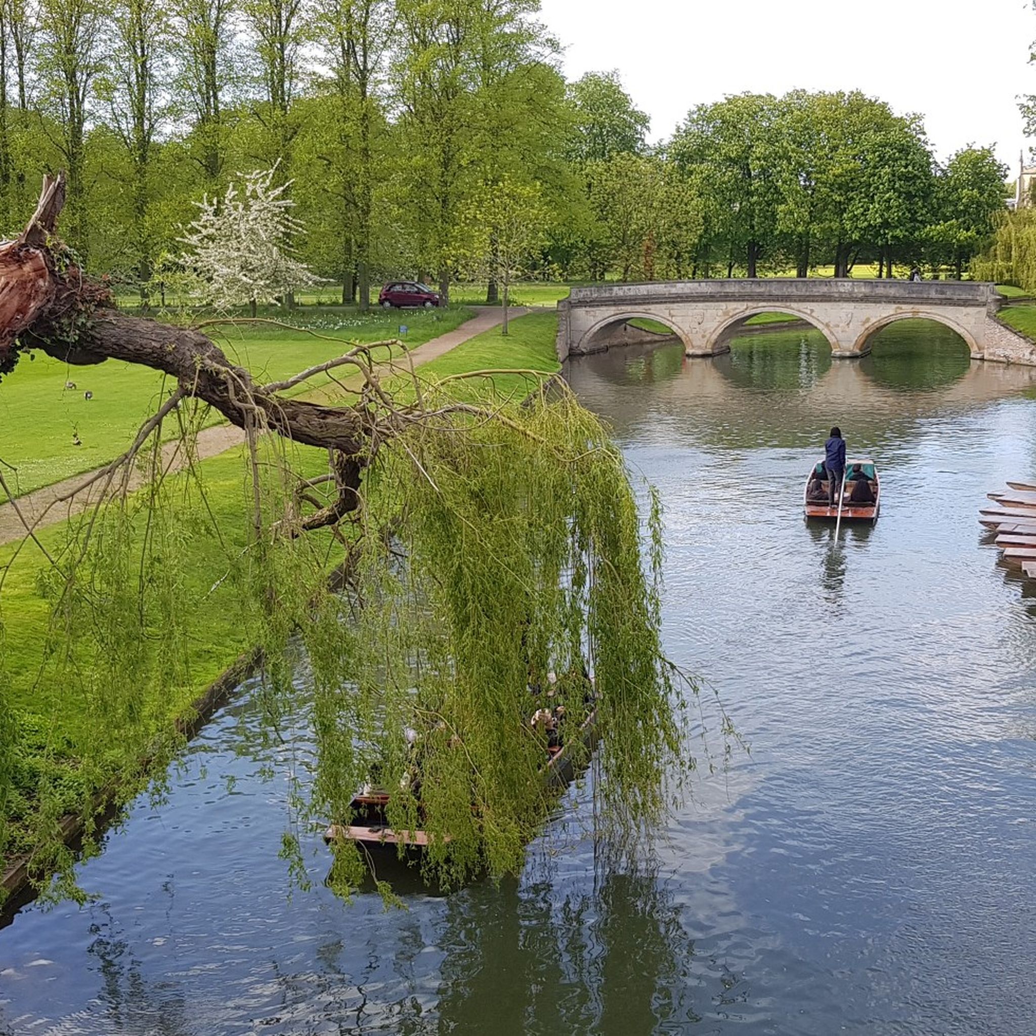
Running Trails in Cambridgeshire
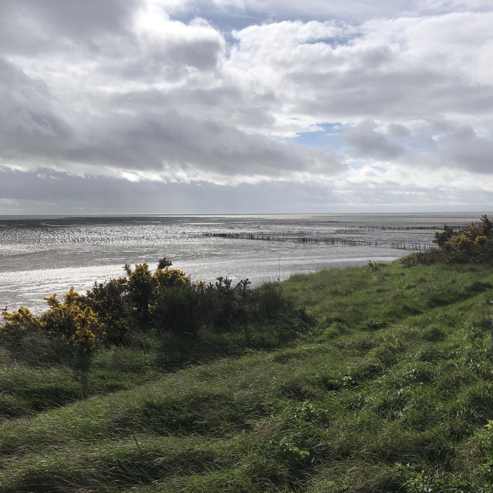
Running Trails in Suffolk
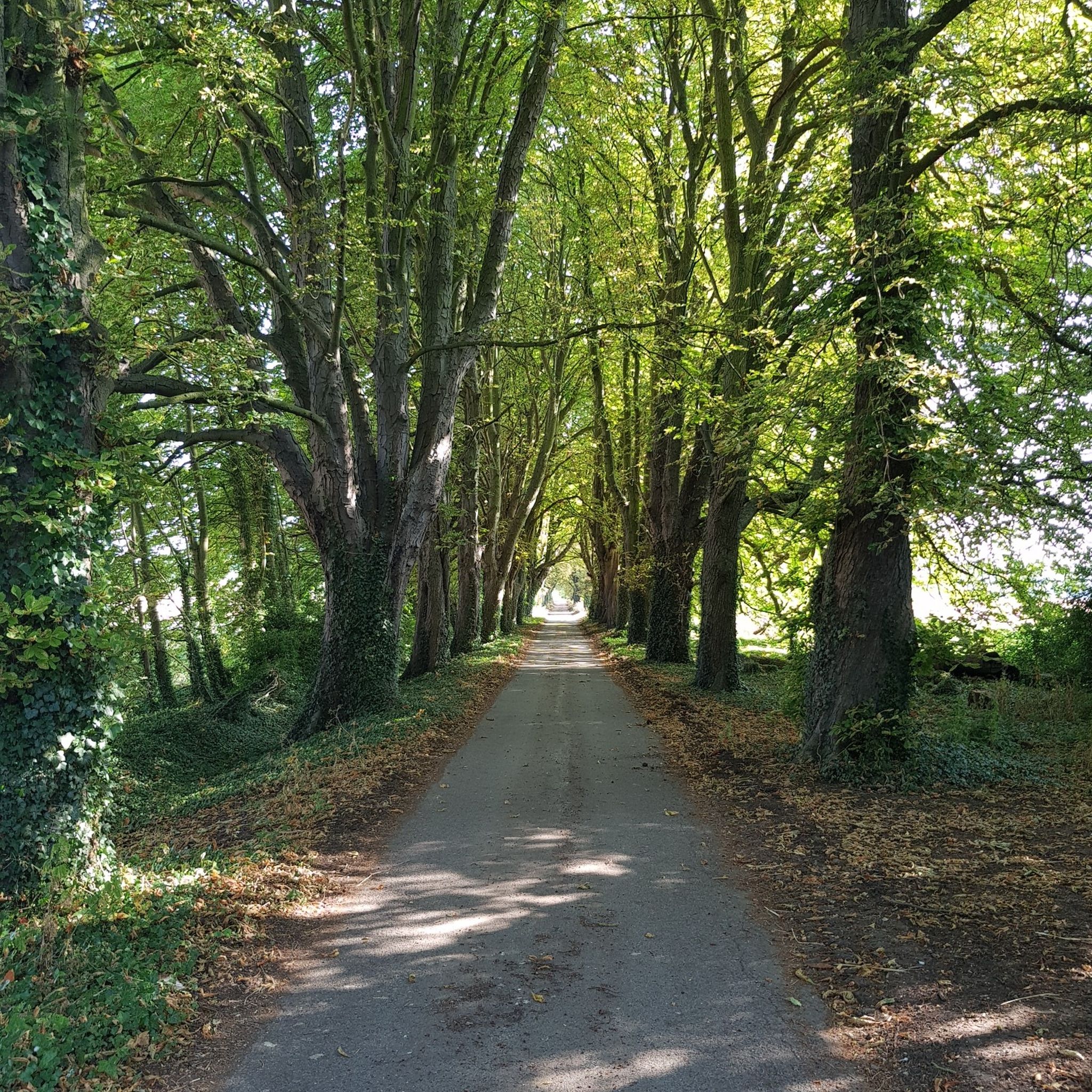
Running Trails in Hertfordshire
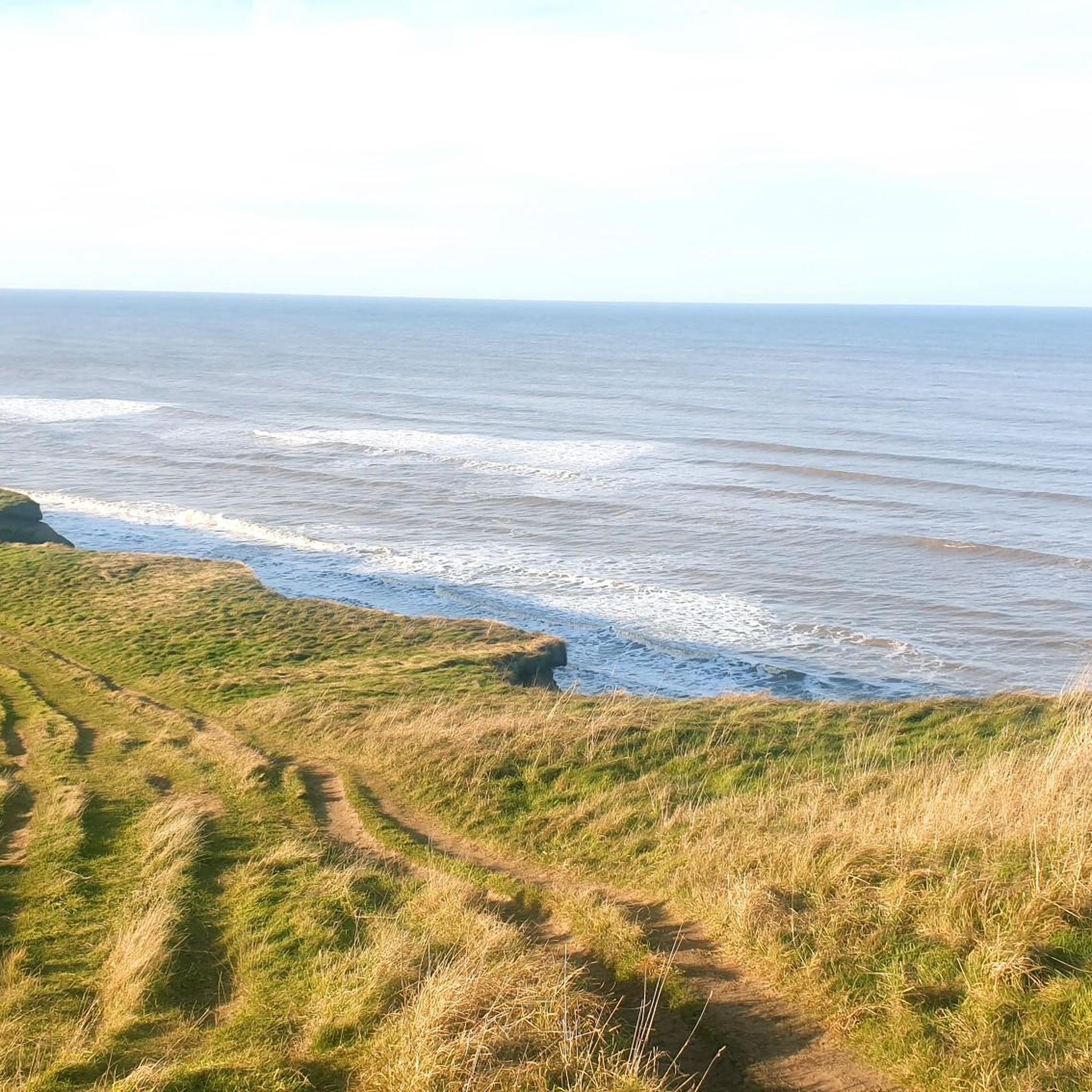
Running Trails in Norfolk
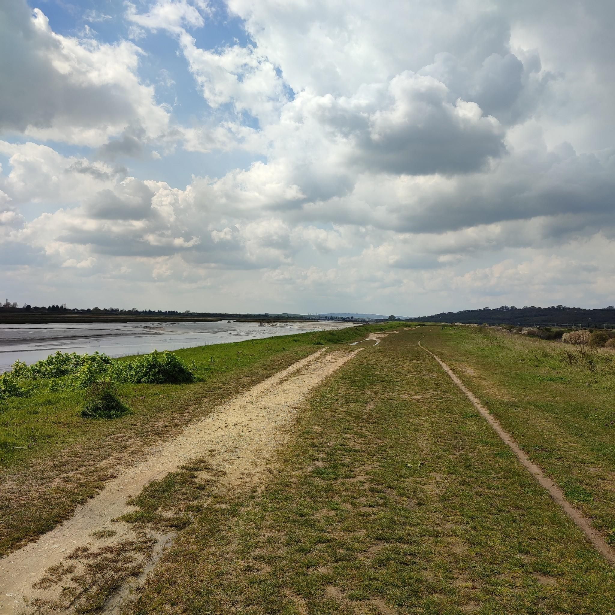
Running Trails in Essex
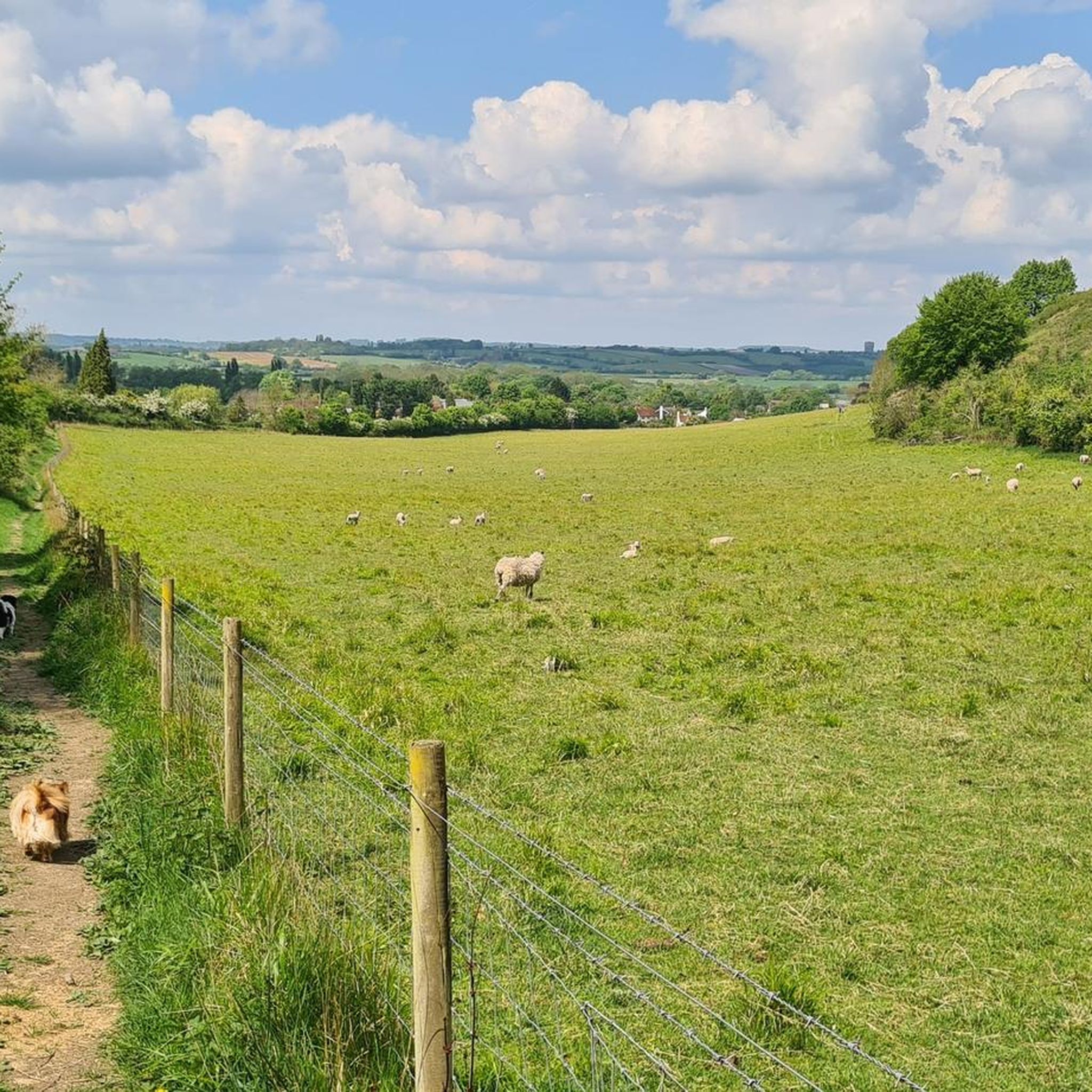
Running Trails in Central Bedfordshire
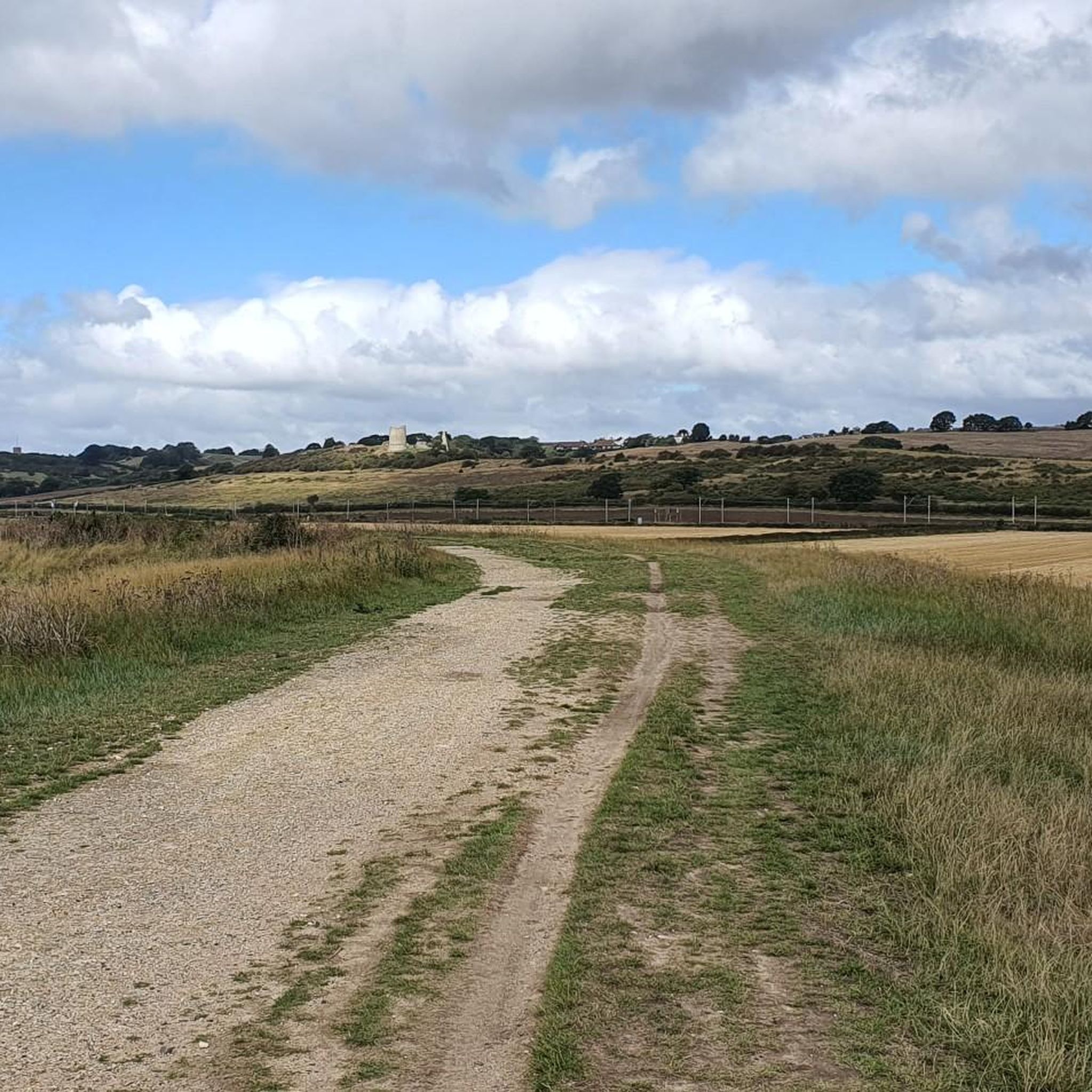
Running Trails around Southend-on-Sea
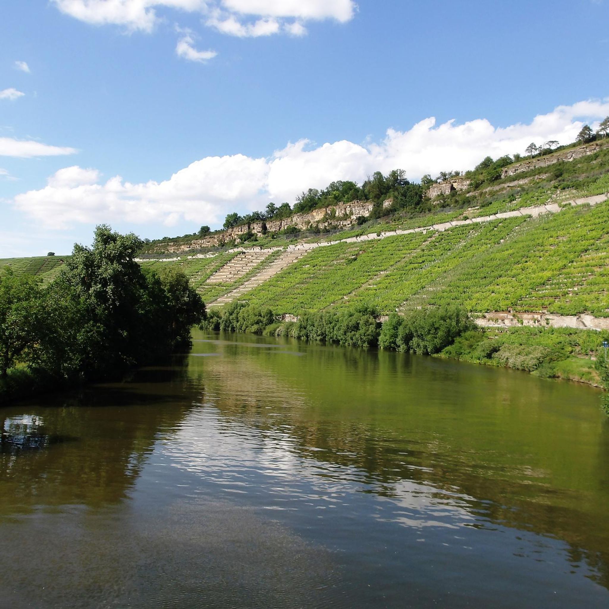
Running Trails around Peterborough
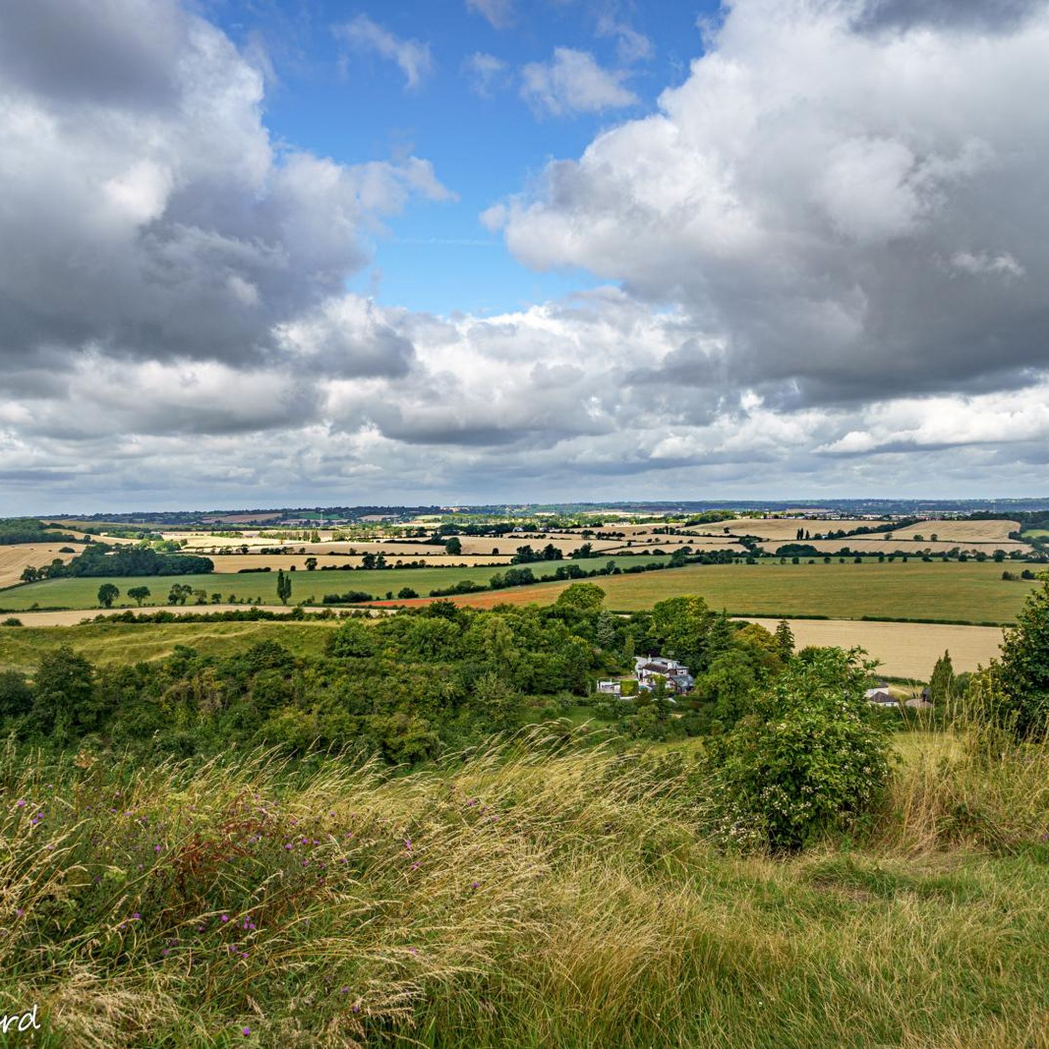
Running Trails around Bedford
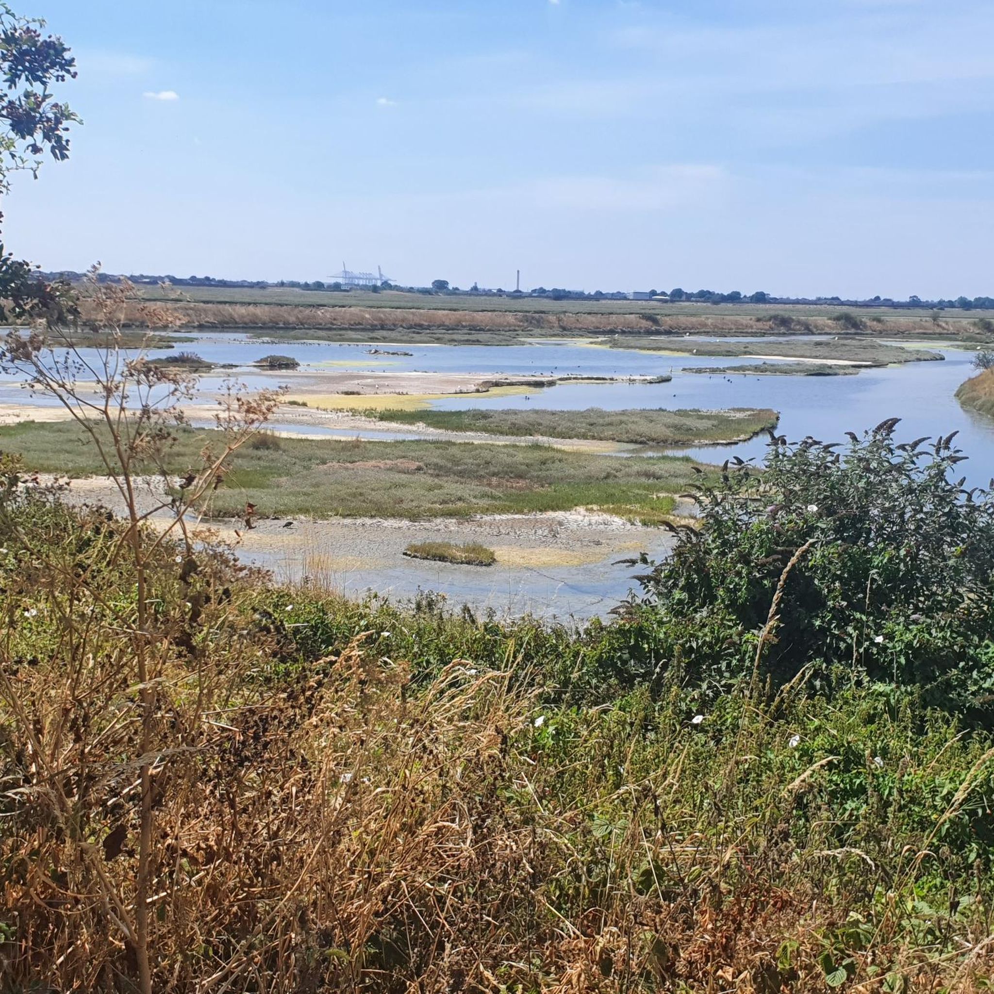
Running Trails around Leigh-On-Sea
Other adventures in the East Of England


Tips from the Community

This is not entirely correct. The house with the rotunda was handed over to the National Trust in 1956. However, in the East Wing with its 60 rooms, the Marquesses of Bristol retained the right of residence for 99 years. In 1998, however, the Marquess ALSO sold this area to the NT. It was then converted into the noble "Ickworth Hotel" and leased by the NT (I have inserted a picture of the hotel) Sources Ickworth House Facts for Kids https://share.google/1CkmbgREgDiZh2jyK Ickworth's history | Suffolk | National Trust https://share.google/4FIj0lWw8mpCl7Gpw
1
0

Super views. It tends to be windy here. In winter, mud that makes it difficult to ascend.
2
0
Nice running path but often crowded with visiting people.
2
0

Good riding around Graffam Lake but North side can be very bumpy on the bound gravel track (its not loose gravel). Great ride though at about 10 miles around. Highly recomended.
0
0

Not necessarily the best pub in the area, but for a beer, it's simply wonderful to sit here in the late afternoon.
1
1

A nice area to watch the rowers on the Cam, make sure to be careful along the paths as they are in constant use by cyclists, runners and ill-focused tourists.
0
1

Path Shared with Cyclists but broad commons and fields heading out to Ely
0
0

The museum exhibits and displays a wide range of topics relating to the Arctic and Antarctic. It has stories of Earth's coldest, driest, windiest, highest and deadliest places, from heroes to modern climate science.
0
0
Frequently Asked Questions
How many running routes are available in the East of England?
The East of England offers a vast network of over 17,000 running routes. These include a diverse range of environments, from coastal paths and tranquil waterways to expansive forests and rolling countryside, ensuring options for all abilities.
What do other runners enjoy most about jogging in the East of England?
The komoot community highly rates the running experience in the East of England, with an average score of 4.4 stars from over 1,200 reviews. Runners often praise the varied terrain, scenic beauty, and well-maintained paths found across the region's coastlines, riversides, and woodlands.
Are there any easy or beginner-friendly jogging routes in the East of England?
Yes, the region has nearly 2,000 easy running routes, perfect for beginners or those seeking a relaxed pace. Many of these can be found along the relatively flat river paths, such as sections of the River Cam, or within well-maintained parks like Wanstead Park.
Are there many circular running routes in the East of England?
Many of the region's most popular running trails are circular, offering convenient starting and ending points. Examples include the Grafham Water running loop and the Alton Water loop from Tattingstone, both providing scenic circuits around large reservoirs.
Which running routes are suitable for families in the East of England?
Many routes in the East of England are family-friendly, particularly those in country parks and along well-surfaced paths. Thetford Forest offers numerous trails suitable for all ages, and routes around places like Whitlingham Broad are generally flat and accessible.
Are there dog-friendly running trails in the East of England?
Yes, many of the region's trails are dog-friendly, especially in forests and open countryside. Always check local signage for specific rules regarding dogs, such as lead requirements, particularly in nature reserves or areas with livestock. Thetford Forest and sections of the Norfolk Coast Path are popular choices for running with dogs.
What kind of landmarks or points of interest can I see along running routes?
Running routes in the East of England often pass by interesting landmarks. For example, you might encounter historic colleges along the River Cam & college loop from Cambridge, or the Bridgewater Monument near the Chilterns. Other routes might lead you past historic mills, lighthouses, or even the intriguing Rendlesham Forest UFO Trail.
Are there running routes with significant elevation changes in the East of England?
While much of the East of England is relatively flat, areas like the Chilterns offer more challenging runs with noticeable elevation gains. The Ivinghoe Beacon & the Ridgeway Trail loop is a good example, providing rewarding views from higher ground.
Where can I find long-distance running trails in the East of England?
For longer runs, consider sections of the Norfolk Coast Path, an 84-mile National Trail, or the Wherryman's Way in the Norfolk Broads. The The Backs, Cambridge – Rowing Clubs on the River Cam loop also offers a substantial distance for those looking for an extended run.
Are there running routes near water in the East of England?
Absolutely. The East of England is rich in waterways. You can find excellent running along the Norfolk Broads, such as the Wherryman's Way and Whitlingham Broad Loop, or along the River Great Ouse near St Ives. Coastal paths like those near Blakeney and Cley also offer invigorating seaside runs.
What are the best places for forest running in the East of England?
The East of England boasts several excellent forests for running. Thetford Forest, one of the UK's largest man-made forests, is a prime location with diverse trails, including the Fir Trail. Other great options include Ickworth Park and Epping Forest, which provide beautiful woodland settings.
Are there running routes with good viewpoints in the East of England?
Yes, many routes offer fantastic viewpoints, especially along the coast and in areas with gentle hills. The heathlands around Salthouse and Sheringham provide elevated positions with panoramic views over the coast and villages. The Blakeney & Cley running loop also offers scenic coastal vistas.
Can I find running routes with cafes or amenities nearby in the East of England?
Many popular running spots, especially those around towns, reservoirs like Grafham Water, or country parks, often have cafes, visitor centers, or other amenities nearby. For specific details, it's always best to check the individual route information on komoot.
Most popular routes in the East Of England
Most popular attractions in the East Of England

Get inspired with the komoot mobile app


Didn’t find what you were looking for?
Check out more Running Trails & Routes throughout East Of England below and find the perfect route in your destination.
Explore more
Browse the best Running Trails & Routes in other regions.
