The best running trails around Yunquera
4.3
(13)
422
runners
33
runs
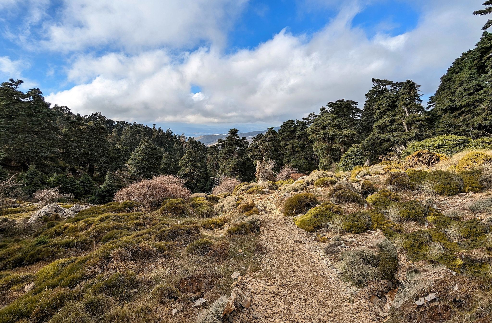
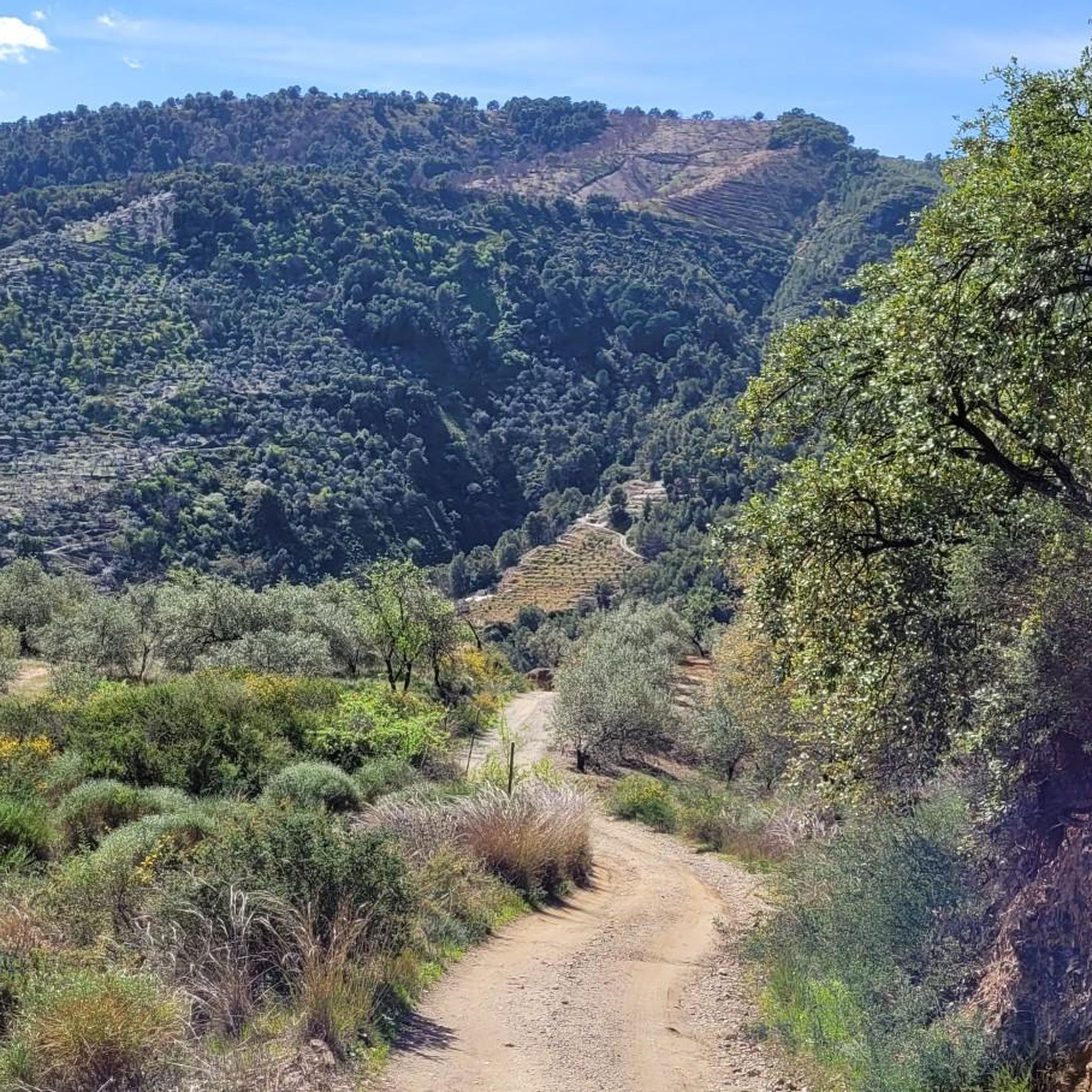
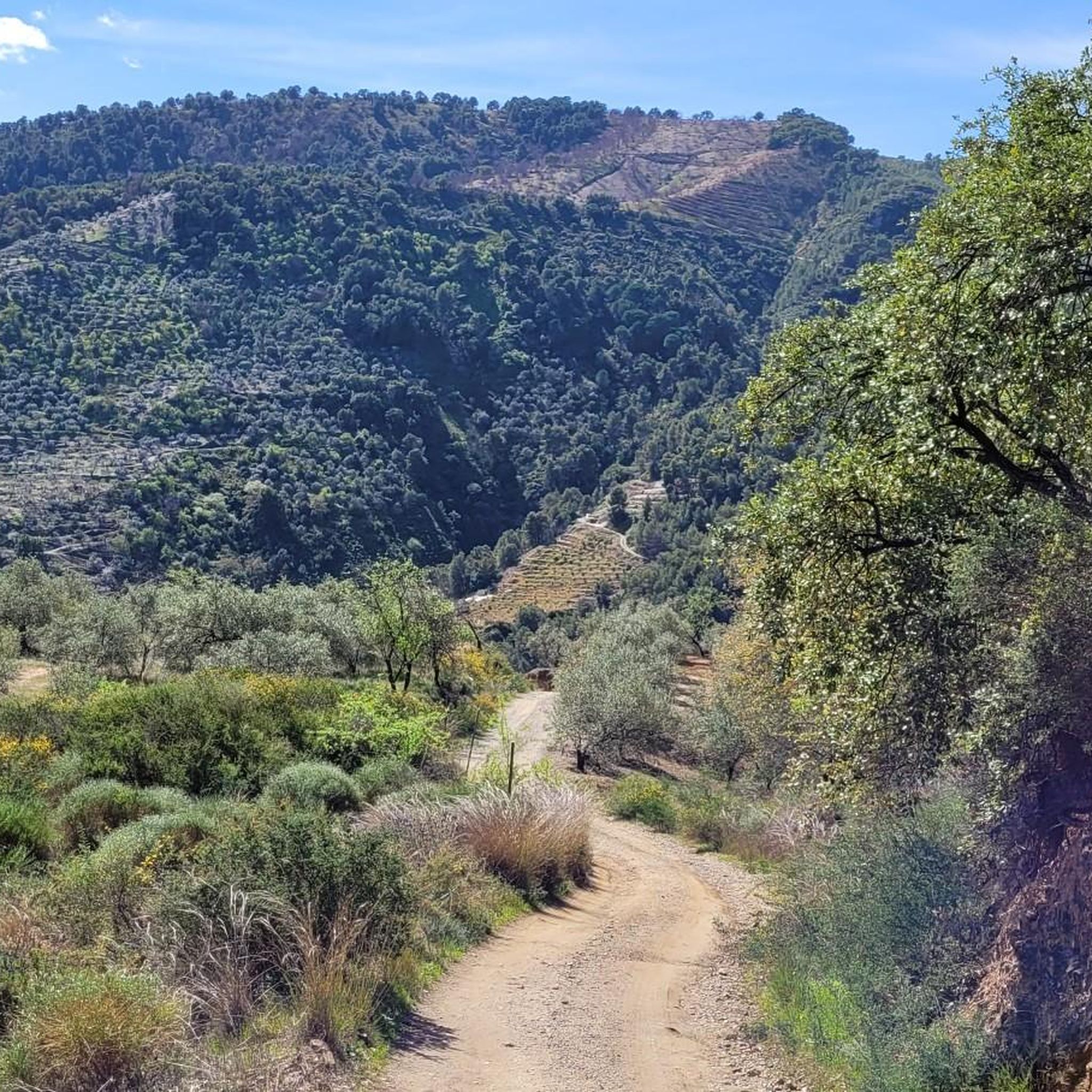
Jogging routes around Yunquera offer access to the rugged terrain of the Sierra de las Nieves National Park, a UNESCO Biosphere Reserve. The region is characterized by its mountainous landscape, including the world's largest Spanish fir forests, which provide shaded paths. Varied elevations ensure a range of running experiences, from gentle paths to challenging climbs.
Best jogging routes around Yunquera
- The most popular jogging route is Carril del Dique Trail, a 2.9 miles (4.7 km) trail that takes 32…
Last updated: July 4, 2026
5
runners
4.71km
00:32
40m
40m
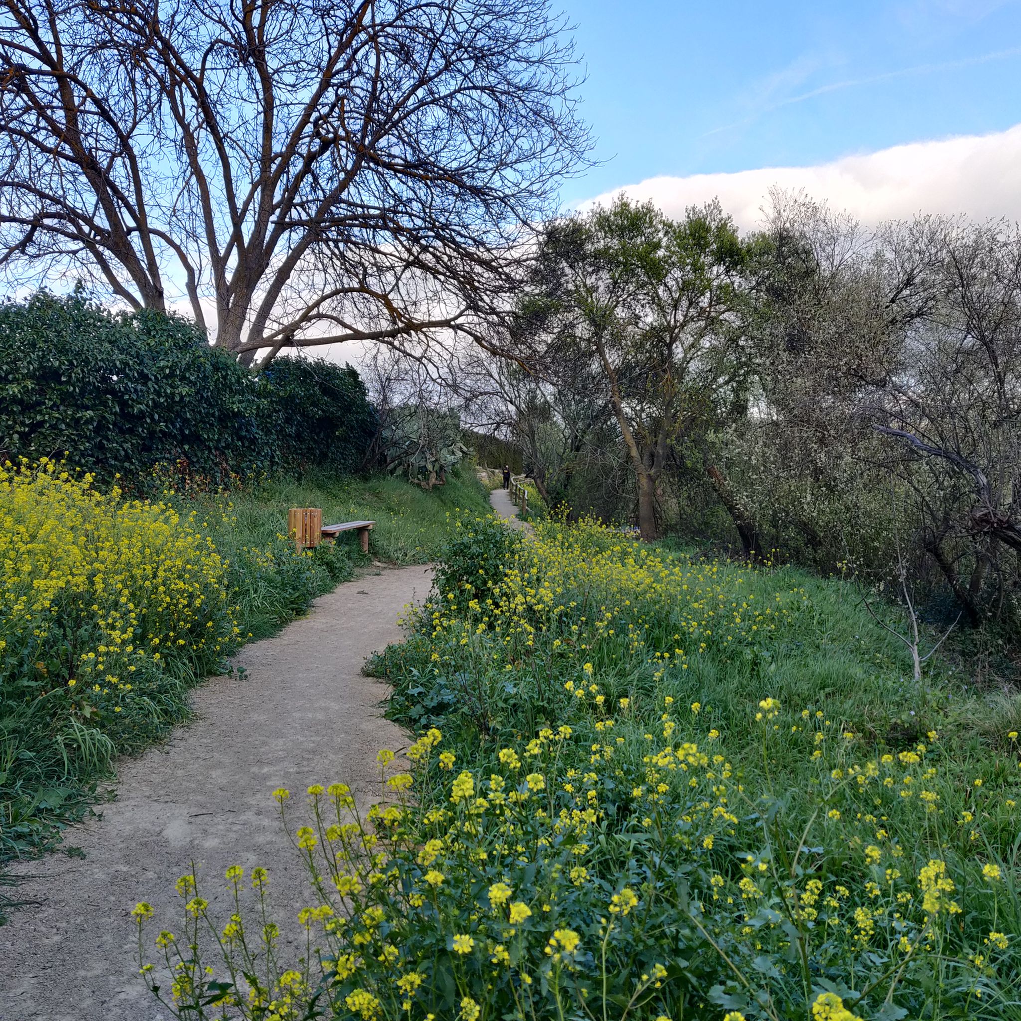
Jog the easy 2.9-mile (4.7 km) Carril del Dique Trail in Sierra de las Nieves National Park, gaining 128 feet (39 metres) in about 32 minute
68
runners
26.4km
04:14
1,490m
1,480m
Hard run. Very good fitness required. Sure-footedness, sturdy shoes and alpine experience required.

Sign up for free
31
runners
13.8km
01:45
390m
390m
Hard run. Very good fitness required. Mostly paved surfaces. Suitable for all skill levels.
5.0
(2)
38
runners
17.7km
02:36
830m
820m
Hard run. Very good fitness required. Mostly paved surfaces. Suitable for all skill levels.
14
runners
11.3km
01:14
170m
170m
Moderate run. Good fitness required. Mostly paved surfaces. Suitable for all skill levels.
Get access to more routes and recommendations from other explorers.
Sign up for free
Already have an account?
Our route recommendations are based on thousands of hikes, rides, and runs completed by other people on komoot.
Start today with a free account
Your next adventure awaits.
Login or Signup

Other adventures around Yunquera

Tips from the Community

It's very beautiful there. It's tempting to swim.
1
0

With less than 3,000 inhabitants, Yunquera is the most populated town in the Sierra de las Nieves region. This town of white houses is nestled in an incredible mountainous setting dotted with terraces with different crops. One of the biggest attractions in the area is the route of the source of the Rio Grande, also known as the "upwelling of Zarzalones".
2
0
The Saucillo pass is located at an altitude of 1,200 metres, and has a viewpoint that allows you to enjoy magnificent views of several Malaga mountain ranges and the coast. Framed in a setting dotted with pine trees, it is one of the gateways to the Torrecilla peak route.
3
0
The candelabra fir, more than 16 meters high, is located just a few meters from the port of Saucillo. It is named for the peculiar shape of its branches. Next to it is a poster that explains the different processes that affect the growth of trees, resulting in extraordinary figures like this Spanish fir.
1
0
This cave originally served as a refuge for cattle. Being located at a considerable height with respect to the rest of the pinsapar, it provides a panoramic view of incredible beauty. The cave has a water pipe from which you can drink; however, keep in mind that there is only water in the rainy season.
3
0

The dam is located on the Turón riverbed and its function is to regulate flow and sediments. Regardless of its use, the environment that surrounds it is very picturesque and highly visited by those who frequent the area. It is easily reached by following the path that goes along the river.
1
0

This trail makes up the first stage between Ronda and El Burgo of the Long Distance Trail number 243, whose commercial name is Sendero de la Sierra de las Nieves. It is mainly used by hikers so drive carefully in the less wide sections.
2
0
The origin of this town is Celtic, but in its streets you can see vestiges of its Roman and Andalusian past and as a refuge for bandits from the Costa del Sol. It has been rebuilt on several occasions, mainly after the 1775 earthquake that caused it very affected.
4
0
Frequently Asked Questions
How many running routes are available around Yunquera?
Yunquera offers a diverse selection of over 35 running routes, catering to various fitness levels. These include 2 easy paths, 9 moderate trails, and 25 more challenging routes, all set within the beautiful Sierra de las Nieves National Park.
Are there any easy jogging routes suitable for beginners or a relaxed run?
Yes, for those seeking an easier run, the Carril del Dique Trail is an excellent choice. This 2.9-mile (4.7 km) path is relatively flat and can be completed in about 32 minutes, offering a gentle introduction to the local landscape.
What are the most challenging running trails in the Yunquera area?
For experienced runners looking for a challenge, Yunquera offers several difficult routes. The Pico del Jarro – Mirador Luis Ceballos loop from Yunquera is a demanding 15.9-mile (25.7 km) trail featuring significant climbs and panoramic views. Another challenging option is the Puerto del Saucillo – Cave of Water loop from Yunquera, an 11.0-mile (17.7 km) route through mountainous terrain.
Can I find circular running routes around Yunquera?
Many of the running routes around Yunquera are designed as loops, allowing you to start and finish in the same location. Examples include the challenging Pico del Jarro – Mirador Luis Ceballos loop and the Puerto del Saucillo – Cave of Water loop, both offering diverse scenery without retracing your steps.
What kind of natural features or landmarks can I expect to see while running in Yunquera?
Running in Yunquera offers stunning natural beauty. You'll encounter the unique Spanish fir (Pinsapo) forests, which are among the largest and best-preserved in the world. The region is also dotted with panoramic viewpoints like the Puerto Saucillo lookout point and Mirador Luis Ceballos, offering breathtaking vistas of the Sierra de las Nieves National Park. You might also discover highlights such as the Charco de la Virgen Waterfall or the impressive Candelabra Spanish Fir.
Are there any viewpoints accessible from the running trails?
Absolutely! The mountainous terrain around Yunquera is rich with viewpoints. The Pico del Jarro – Mirador Luis Ceballos loop, for instance, leads directly to the Mirador Luis Ceballos, known for its spectacular panoramic views. Other trails offer glimpses of the Sierra de las Nieves from various road sections and mountain passes like Puerto del Saucillo.
What is the best time of year to go running in Yunquera?
Yunquera is an ideal year-round destination for outdoor activities like running. The mild temperatures in spring and autumn are perfect for comfortable runs. Even in summer, the mountain breezes and the shade provided by the Spanish fir forests make it pleasant to explore the trails.
What do other runners say about the trails in Yunquera?
The running routes in Yunquera are highly regarded by the komoot community, with an average rating of 4.3 stars from over 10 reviews. Runners often praise the diverse terrain, the unique beauty of the Spanish fir forests, and the stunning panoramic views encountered along the trails.
Are there any running routes that pass by water features?
Yes, some routes incorporate water features. For example, the Puerto del Saucillo – Cave of Water loop from Yunquera hints at a water-related landmark. Additionally, you can find natural highlights like the Charco de la Virgen Waterfall and the Source of the Río Grande of Yunquera in the vicinity, which may be accessible or visible from certain trails.
Is Yunquera a good destination for trail running?
Absolutely. Yunquera, as the gateway to the Sierra de las Nieves National Park, is a prime destination for trail running. Its rugged, mountainous and uneven terrain, combined with diverse trails through Spanish fir forests and numerous panoramic viewpoints, provides a varied and rewarding experience for trail runners of all levels.
Are there any specific trails that offer views of the Sierra de las Nieves?
Many trails in the region offer spectacular views of the Sierra de las Nieves. The Pico del Jarro – Mirador Luis Ceballos loop provides extensive vistas, and there are specific road sections with views of the Sierra de las Nieves that runners can incorporate into their routes.
Most popular attractions around Yunquera

Get inspired with the komoot mobile app


Explore more
Browse the best Running Trails & Routes in other regions.
