The best walks and hikes around Yunquera
4.5
(472)
1,855
hikers
35
hikes
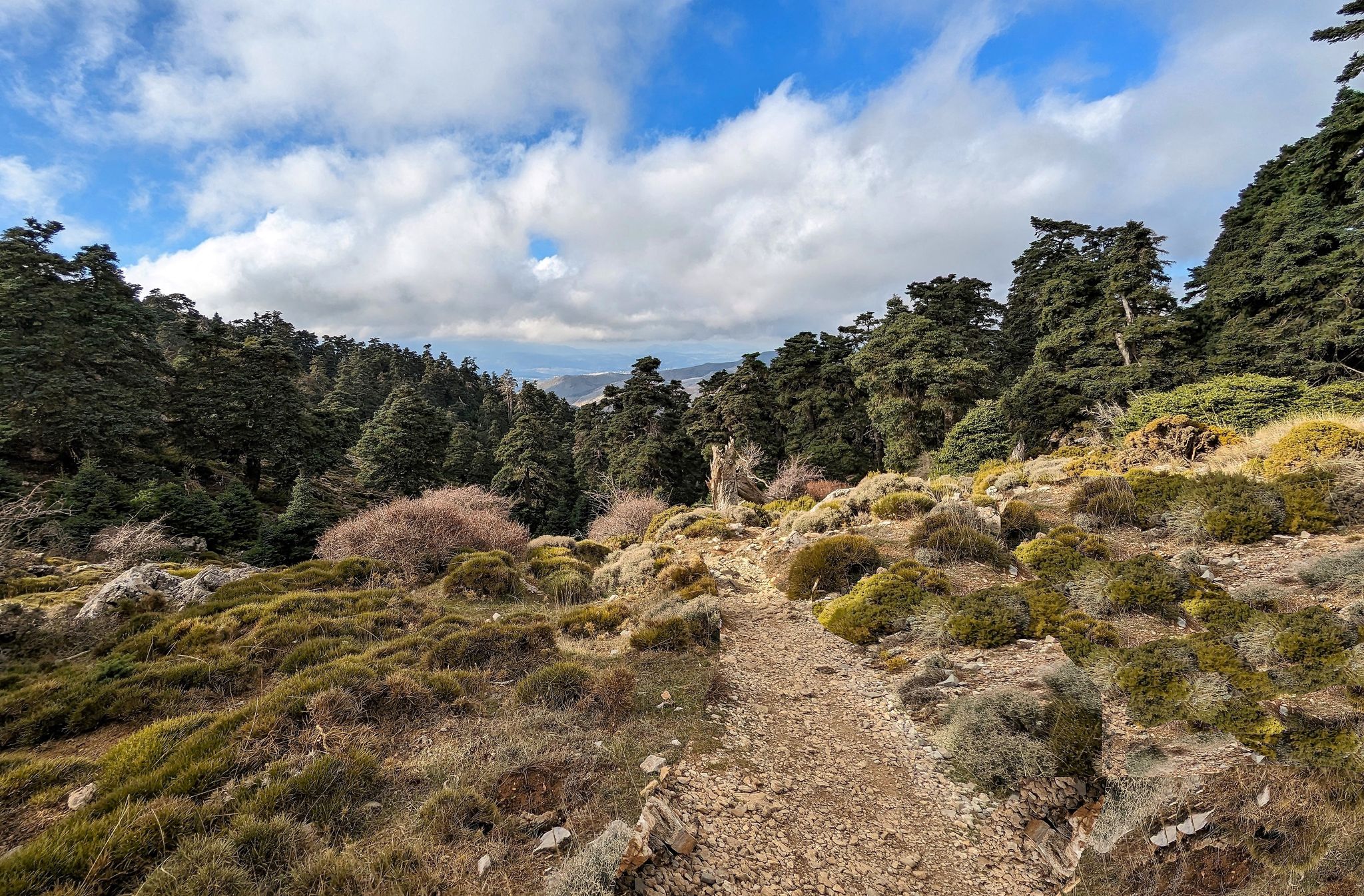
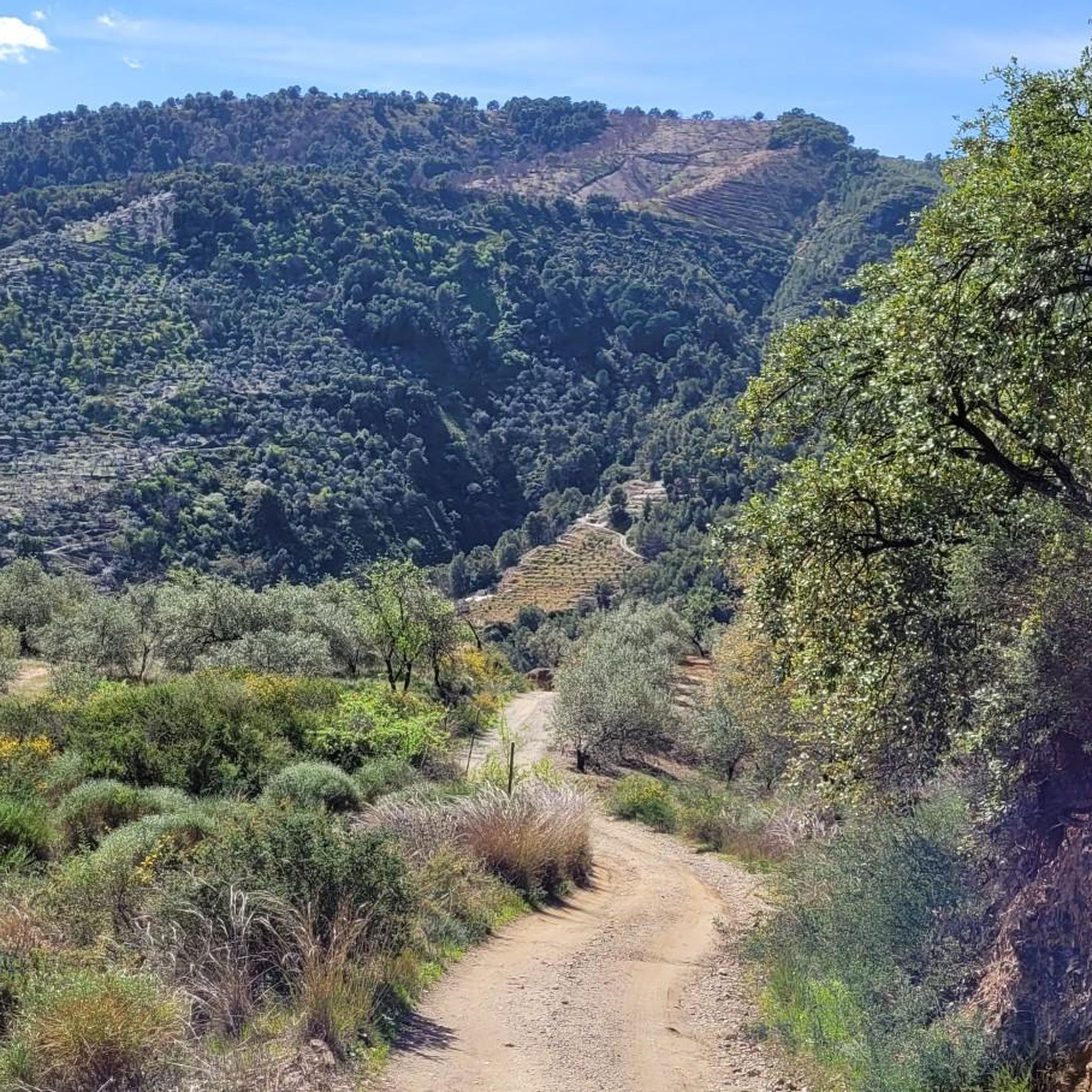
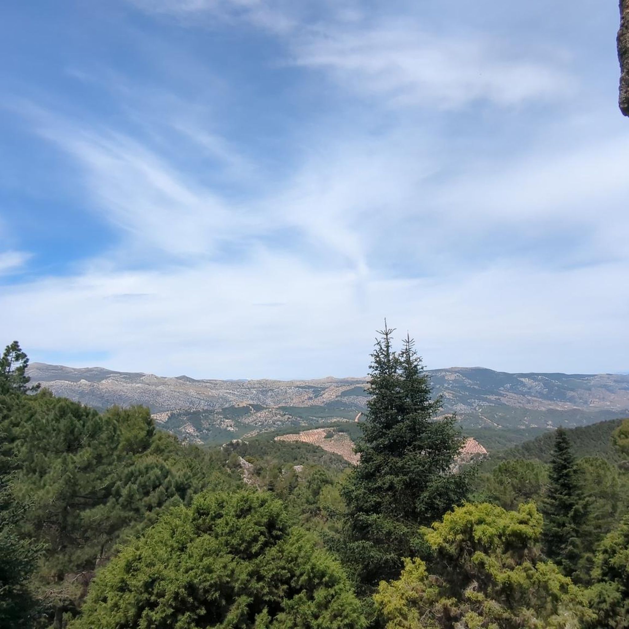
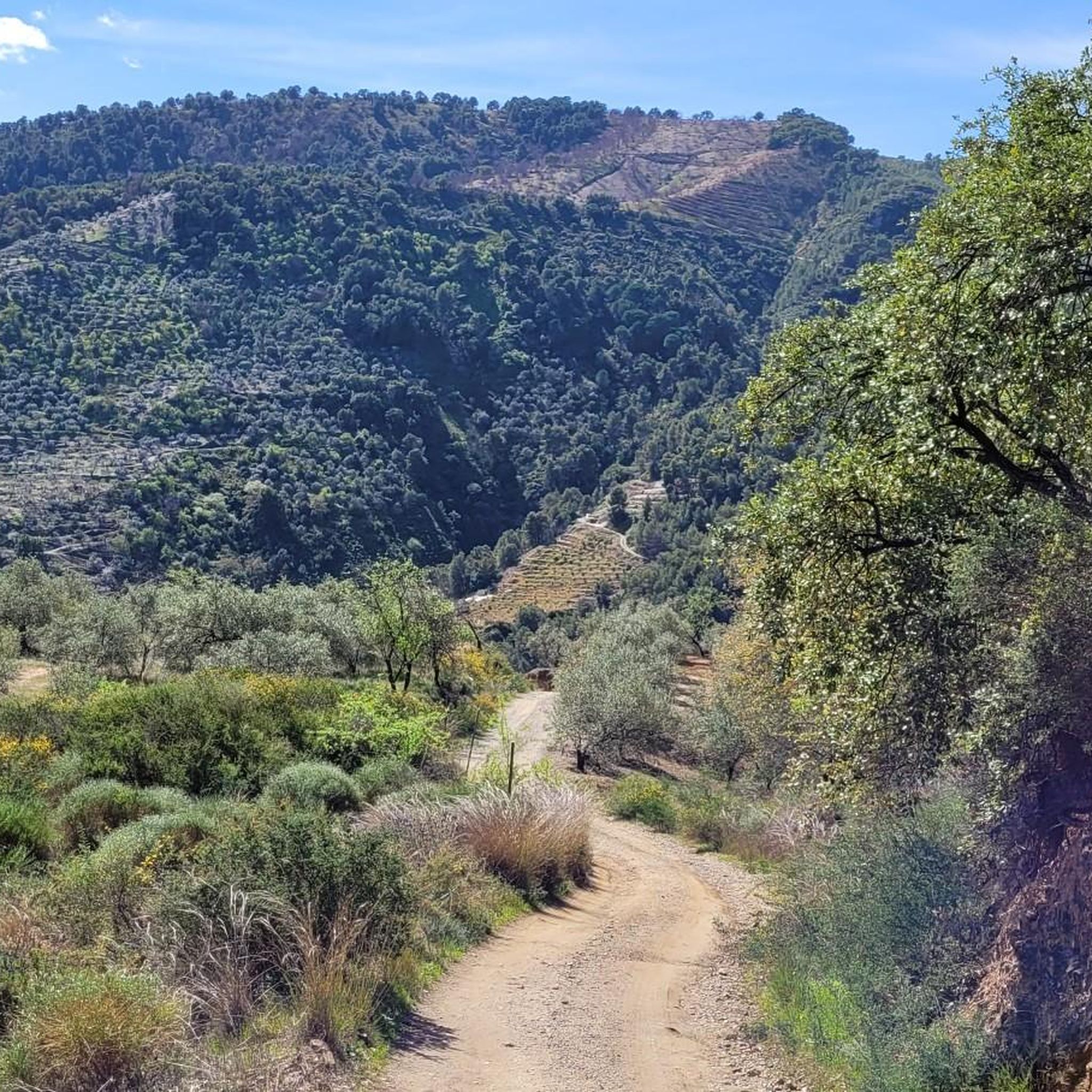
Hiking around Yunquera offers access to the Sierra de las Nieves National Park, a UNESCO Biosphere Reserve. The region is characterized by diverse landscapes, including majestic karst formations, towering peaks, and dense Spanish fir forests. Rivers and natural pools are also present, contributing to varied terrain for outdoor activities.
Best hiking trails around Yunquera
- The most popular hiking route is Parque Nacional de la Sierra de las Nieves – circular to Peñón de los Enamorados, a 7.6 miles (12.2 km) trail that takes 4 hours 47 minutes to complete. This difficult route features significant elevation gain within the National Park.
- Another top favourite among local hikers is Puerto Saucillo - Puerto Bellina Trail, a moderate 3.1 miles (4.9 km) path. This trail passes through rare Spanish fir forests and offers views from the Puerto Saucillo viewpoint.
- Local hikers also love the Cave of Water – Candelabra Spanish Fir loop from Yunquera, a 8.4 miles (13.5 km) trail leading through varied forest and karst landscapes, often completed in about 4 hours 22 minutes.
- Hiking around Yunquera is defined by ancient Spanish fir forests, dramatic karst formations, and mountain peaks offering expansive views. The network provides options for various ability levels, from moderate forest paths to challenging mountain ascents.
- The routes in Yunquera are highly rated by the komoot community with an average score of 4.5 stars from over 380 reviews. More than 1600 hikers have used komoot to explore Yunquera's varied terrain.
Last updated: July 7, 2026
4.7
(9)
49
hikers
Hard hike. Good fitness required. Sure-footedness, sturdy shoes and alpine experience required.
5.0
(6)
18
hikers
4.92km
01:36
220m
220m
Hike the moderate 3.1-mile Puerto Saucillo - Puerto Bellina Trail through rare pinsapo forests in Sierra de las Nieves National Park.

Sign up for free
4.4
(34)
86
hikers
13.5km
04:22
600m
600m
Moderate hike. Good fitness required. Easily-accessible paths. Suitable for all skill levels.
4.9
(9)
47
hikers
9.26km
03:03
440m
440m
Moderate hike. Good fitness required. Easily-accessible paths. Suitable for all skill levels.
5.0
(9)
27
hikers
Moderate hike. Great for any fitness level. Mostly accessible paths. Sure-footedness required.
Get access to more routes and recommendations from other explorers.
Sign up for free
Already have an account?
Our route recommendations are based on thousands of hikes, rides, and runs completed by other people on komoot.
Start today with a free account
Your next adventure awaits.
Login or Signup

Other adventures around Yunquera

Tips from the Community

A few hundred meters from the Cueva de las Tres Puertas is this equally fantastic cave.
0
0
There is apparently a Pico de Jarro 1 and a Pico de Jarro 2. Both are worth it, the view from here is wonderful.
0
0

If the weather is good: the perfect summit with a view! With a little scrambling it is also easy to climb, the easiest way is to go diagonally from the hiking trail near the Portuguese oak (southern flank) to the summit; if you want something more exciting: there are many beautiful climbing spots on the north side that lead to the summit
0
0

The Saucillo pass is located at an altitude of 1,200 metres, and has a viewpoint that allows you to enjoy magnificent views of several Malaga mountain ranges and the coast. Framed in a setting dotted with pine trees, it is one of the gateways to the Torrecilla peak route.
3
0
The candelabra fir, more than 16 meters high, is located just a few meters from the port of Saucillo. It is named for the peculiar shape of its branches. Next to it is a poster that explains the different processes that affect the growth of trees, resulting in extraordinary figures like this Spanish fir.
1
0
This cave originally served as a refuge for cattle. Being located at a considerable height with respect to the rest of the pinsapar, it provides a panoramic view of incredible beauty. The cave has a water pipe from which you can drink; however, keep in mind that there is only water in the rainy season.
3
0

Wonderful at 1775 meters above sea level in the heart of the Sierra de las Nieves Park. Beautiful panoramic views of the entire park and the beautiful peaks.
1
0

Frequently Asked Questions
How many hiking trails are available around Yunquera?
There are over 30 hiking trails around Yunquera, offering a wide range of options for different skill levels. The komoot community has recorded 35 routes in the area.
What are the different difficulty levels for hiking trails in Yunquera?
Yunquera offers a diverse range of trails. You'll find 4 easy routes, 24 moderate routes, and 7 difficult routes, ensuring there's something for every hiker, from casual strolls to challenging mountain ascents.
Are there any family-friendly hiking trails near Yunquera?
Yes, there are several family-friendly options. The region offers low-difficulty paths suitable for families, such as the Sendero PN El Burgo – La Fuensanta, a 5.1 km linear trail that leads through a dense pine forest to a recreational area. The Charco de la Virgen Trail is also a low-difficulty, 2.4 km (one-way) path that follows the Río de los Caballos to a picturesque waterfall, which can be a great outing for families.
Can I bring my dog on the hiking trails in Yunquera?
Many trails in the Sierra de las Nieves National Park are dog-friendly, but it's important to keep dogs on a leash to protect local wildlife and respect other hikers. Always check specific trail regulations before heading out, especially within protected areas.
What unique natural features can I expect to see while hiking in Yunquera?
Yunquera is renowned for its unique natural features. You'll encounter ancient Spanish fir (Pinsapo) forests, a rare and endemic species, particularly along routes like the Puerto Saucillo - Puerto Bellina Trail. The area also features dramatic karst landscapes, towering peaks, and the impressive Puerto del Saucillo viewpoint offering panoramic vistas.
Are there any waterfalls or natural pools to discover on hikes?
Yes, the region is rich in water sources. The Charco de la Virgen Waterfall is a picturesque spot accessible via a low-difficulty trail. You can also find natural pools along the Turón River, which are popular for swimming in crystal-clear waters.
What is the best time of year to go hiking in Yunquera?
The mild temperatures during spring and autumn make these seasons ideal for hiking in Yunquera. The weather is generally pleasant, perfect for exploring the diverse landscapes without the extreme heat of summer or the colder conditions of winter at higher elevations.
Are there any circular hiking routes available?
Yes, many routes in Yunquera are circular. A popular option is the Cave of Water – Candelabra Spanish Fir loop from Yunquera, a moderate 13.5 km trail that takes you through varied forest and karst landscapes. Another is the challenging Parque Nacional de la Sierra de las Nieves – circular to Peñón de los Enamorados.
What do other hikers enjoy most about hiking in Yunquera?
The area is highly rated by the komoot community, with an average score of 4.5 stars from over 380 reviews. Hikers often praise the stunning natural beauty, the unique Spanish fir forests, and the variety of trails that cater to different abilities, from gentle walks to challenging mountain ascents.
Are there any specific viewpoints along the trails offering panoramic views?
Absolutely. The region boasts impressive peaks and viewpoints. The Puerto del Saucillo offers magnificent views, and the Viewpoint of Pico de San Pedro provides expansive vistas of the mountains and even the Mediterranean Sea on clear days.
Is parking available at the trailheads in Yunquera?
Parking is generally available near popular trailheads and within Yunquera itself. However, during peak seasons or for specific routes within the Sierra de las Nieves National Park, it's advisable to arrive early, especially on weekends, to secure a spot.
Do I need any permits to hike in the Sierra de las Nieves National Park?
While many trails are freely accessible, certain areas or specific activities within the Sierra de las Nieves National Park may require permits, especially for larger groups or during specific times of the year. It's always best to check with the park authorities or local information centers before planning your hike to ensure compliance with any regulations.
Most popular attractions around Yunquera

Get inspired with the komoot mobile app


Explore more
Browse the best Hikes in other regions.
