The best MTB trails around Berrocalejo De Aragona
4.6
(96)
940
riders
98
rides
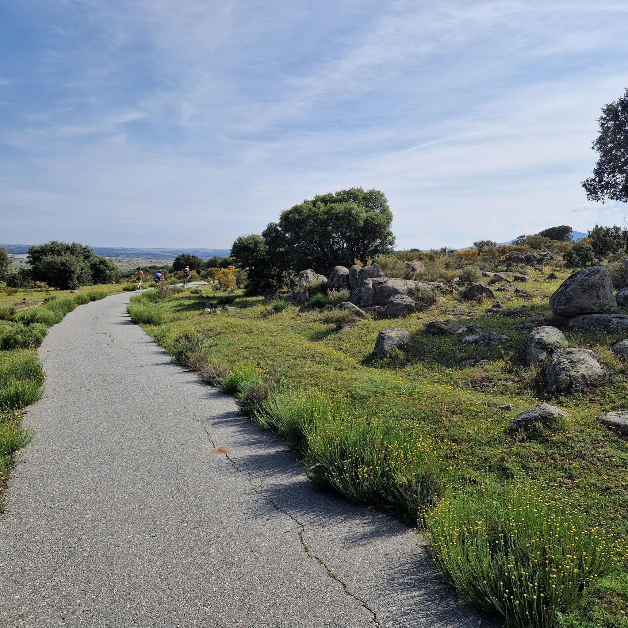
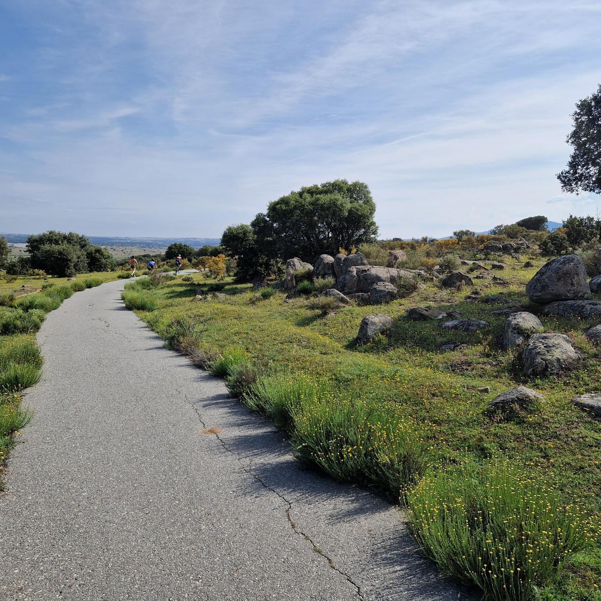
Mountain biking around Berrocalejo De Aragona offers routes through a distinctive "berrocal" landscape, characterized by large granitic rock formations. The village is situated at an altitude of 1,102 meters, flanked by the Sierras de Ávila and Ojos-Albos, providing varied terrain. This elevated position and surrounding mountain ranges create diverse routes, ranging from flatter sections to more challenging ascents and descents. The area's rural setting and natural features are well-suited for exploring on two wheels.
Best mountain bike trails around Berrocalejo…
Last updated: July 1, 2026
27.6km
02:50
710m
710m
Explore the moderate 17.2-mile La Atalaya mountain biking route from Ojos-Albos, featuring ancient rock art and scenic views.
4.2
(6)
52
riders
Moderate mountain bike ride. Good fitness required. Suitable for all skill levels.

Sign up for free
4.7
(10)
49
riders
36.3km
02:37
110m
110m
Moderate mountain bike ride. Good fitness required. Suitable for all skill levels.
5.0
(1)
39
riders
46.3km
04:04
720m
720m
Moderate mountain bike ride. Good fitness required. Advanced riding skills necessary.
4.0
(2)
32
riders
26.1km
01:57
250m
250m
Moderate mountain bike ride. Great for any fitness level. Advanced riding skills necessary.
Get access to more routes and recommendations from other explorers.
Sign up for free
Already have an account?
Our route recommendations are based on thousands of hikes, rides, and runs completed by other people on komoot.
Start today with a free account
Your next adventure awaits.
Login or Signup



Tips from the Community

The Sancti Spiritus Bridge in Ávila is a historic structure that crosses the Chico River, very close to the Chico River Park. It is a medieval-style stone bridge, probably linked to the ancient Monastery of Sancti Spiritus, founded in the 13th century.
1
0
The park extends between the bridge over the Chico River, the extension of Nuestra Señora de Sonsoles Street, and the Burgohondo road bridge, bordering Juan Pablo II Avenue. One of the most popular routes is the circular route from the Roman Bridge over the Adaja River, ideal for easy walks and enjoying the park's natural surroundings.
1
0
The Monument to Saint Teresa of Jesus next to the Puerta del Alcázar in Ávila is one of the city's most iconic sculptures. It is located in the Plaza del Mercado Grande, right next to the Puerta del Alcázar, one of the most famous entrances to the walls of Ávila. The monument was created by sculptor Juan Luis Vassallo. The main figure shows Saint Teresa holding a quill pen, alluding to her work as a writer.
2
0
The Alcázar Gate is one of the most impressive entrances to the Ávila wall. Located to the east of the walled area, it is distinguished by its two large towers, each over 20 meters high, connected by a semicircular arch. This gate was one of the first to be built, along with the San Vicente Gate, and retains its Romanesque style.
5
0
Mingubela Cave, also known as Peña Mingubela, is a fascinating rock shelter located near the small village of Ojos Albos in Ávila, Spain. This site is known for its ancient cave paintings, which depict various figures, including warriors, some of whom are shown holding shields or in prayer positions. The cave is divided by a stone column, which adds to its unique structure. If you are interested in visiting, it is important to note that the cave is only accessible on foot and the path can be quite steep, so it is advisable to bring a flashlight and seek precise directions from locals. Additionally, there are several hiking trails in the area, such as the circular trail from Ojos Albos that includes La Atalaya and Mingubela Cave.
5
0

In the Great Market Square.
3
0
The bridge is nice, the area not so much.
0
1
In the southwest area of the city.
0
1
Frequently Asked Questions
What kind of terrain can I expect on mountain bike trails around Berrocalejo de Aragona?
The area around Berrocalejo de Aragona is known for its distinctive "berrocal" landscape, featuring large granitic rock formations. You'll find varied terrain, from relatively flat sections to more challenging ascents and descents, as the village sits at 1,102 meters, flanked by the Sierras de Ávila and Ojos-Albos.
How many mountain bike trails are available in the Berrocalejo de Aragona area?
There are over 110 mountain bike trails around Berrocalejo de Aragona. These routes cater to various skill levels, including easy, moderate, and difficult options.
Are there any easy mountain bike trails suitable for beginners or families near Berrocalejo de Aragona?
Yes, there are 13 easy mountain bike trails in the area. These routes offer a gentler introduction to mountain biking amidst the serene rural landscape, suitable for those looking for less strenuous rides.
What do other mountain bikers enjoy most about the trails in Berrocalejo de Aragona?
The mountain bike trails in Berrocalejo de Aragona are highly rated by the komoot community, with an average score of 4.6 stars from over 80 reviews. Riders often praise the varied terrain, the unique granitic rock formations, and the peaceful rural setting that defines the region.
Are there any circular mountain bike routes around Berrocalejo de Aragona?
Yes, many routes in the area are loops. For example, you could try the Ojos-Albos and Cruz de Hierro Loop, which is a moderate 27.6 km ride exploring the Ojos-Albos area.
What are some notable landmarks or attractions I can see while mountain biking near Berrocalejo de Aragona?
Many routes pass by interesting sites. For instance, the View of the Valley and Fields – Church of Mediana de Voltoya loop from Estación de Ávila offers scenic views and passes by the Church of Mediana de Voltoya. You can also find routes that take you near historical sites like the Ávila City Walls or the Old Roman bridge over the Adaja River.
Are there mountain bike routes that connect Berrocalejo de Aragona to Ávila?
Yes, several routes connect the area to Ávila. The Arco de Consejeros – Los Perrillos loop from Ávila is a 44.8 km trail that leads through varied terrain, often starting from Ávila itself, making it accessible from the city.
What is the typical duration for mountain bike rides in this region?
Ride durations vary depending on the route length and your pace. Moderate trails like the Ojos-Albos and Cruz de Hierro Loop typically take around 2 hours 50 minutes, while longer routes such as the Ávila City Walls – Río Chico Park loop from Ávila can take over 4 hours.
What is the elevation gain like on mountain bike trails around Berrocalejo de Aragona?
Given the region's elevated position and surrounding mountain ranges, elevation gains can vary. Moderate routes like the Ojos-Albos and Cruz de Hierro Loop feature around 700 meters of ascent, while others, such as the Ávila City Walls – Río Chico Park loop from Estación de Ávila, have a more modest 117 meters of climb.
Is there parking available for mountain bikers in Berrocalejo de Aragona or nearby?
While specific parking areas in Berrocalejo de Aragona are not detailed, its proximity to Ávila (only 9 kilometers away) means you can often find parking in or around Ávila, with several routes starting from Estación de Ávila, such as the Ávila City Walls – Río Chico Park loop from Estación de Ávila.
What is the best time of year for mountain biking in the Berrocalejo de Aragona area?
The region's elevated position means it can experience varied weather. Spring and autumn generally offer pleasant temperatures for mountain biking. Summers can be warm, while winters might bring colder conditions, especially at higher altitudes. It's always advisable to check local weather forecasts before heading out.
Most popular routes around Berrocalejo De Aragona
Most popular attractions around Berrocalejo De Aragona

Get inspired with the komoot mobile app


Explore more
Browse the best MTB trails in other regions.
