The best running trails around San Emiliano
4.3
(3)
285
runners
20
runs
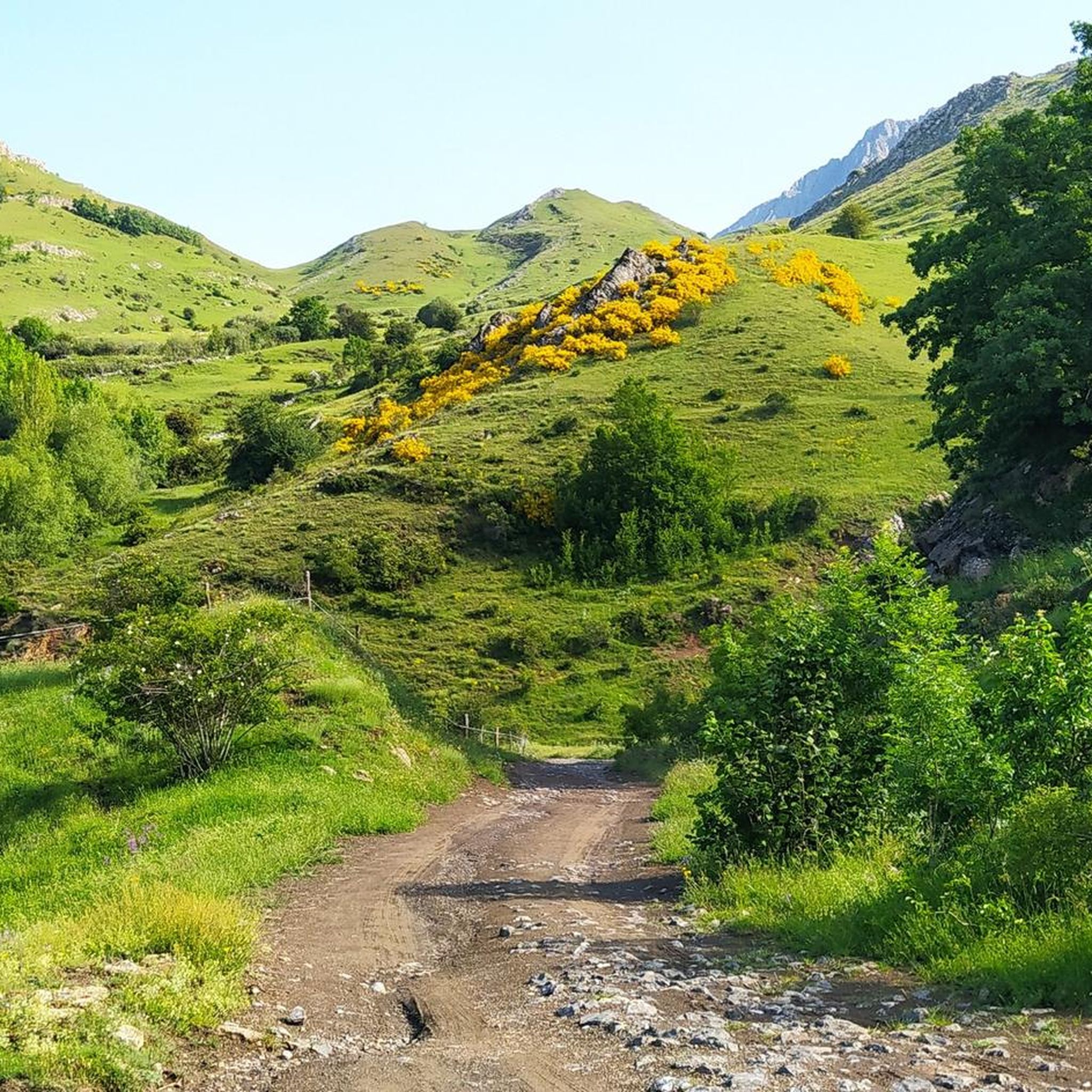
Jogging routes around San Emiliano are set within the San Emiliano Valley Nature Park, characterized by rugged mountain reliefs and deep valleys. The region features significant natural landmarks such as Peña Ubiña, standing at 2,417 meters, and the San Emiliano Canyon, thickly covered by beech and oak trees. Glacial erosion and Karstic relief contribute to unique geological formations, offering diverse terrains for running.
Best jogging routes around San Emiliano
- The most popular jogging route is Ascent to the Peñas Ubinas…
Last updated: October 11, 2026
2
runners
13.0km
03:46
1,470m
1,470m
Hard run. Very good fitness required. Sure-footedness, sturdy shoes and alpine experience required.
9.11km
01:07
270m
270m
Jog the moderate 5.7-mile Cordel de Merinas Trail in Valles de Omaña y Luna Biosphere Reserve, featuring gorges, pastures, and scenic views.

16.7km
02:30
770m
770m
Hard run. Very good fitness required. Sure-footedness, sturdy shoes and alpine experience required.
5.0
(1)
33
runners
Hard run. Good fitness required. Sure-footedness, sturdy shoes and alpine experience required.
22
runners
8.09km
01:36
710m
710m
Hard run. Very good fitness required. Sure-footedness, sturdy shoes and alpine experience required.
Get access to more routes and recommendations from other explorers.
Already have an account?
Our route recommendations are based on thousands of hikes, rides, and runs completed by other people on komoot.
Start today with a free account
Your next adventure awaits.
Popular around San Emiliano

Height Challenges — Ports in Castilla y León

12 hiking gems throughout Spain
Along a Roman road to Asturias in Spain – Camino Real de la Mesa (GR 101)

TransCantabrica – Extreme mountain biking in northern Spain
Hiking around San Emiliano
MTB Trails around San Emiliano
Road Cycling Routes around San Emiliano
Cycling around San Emiliano
Other adventures around San Emiliano


Tips from the Community

The pass is now paved and can be driven on by car.
1
0

During the mining era, this pass served as a discreet link between mines on either side, and minimal traces of old cart and mule traffic remain, though they don't coincide with the current road. From above, the wind is almost constant, and the view towards the Saliencia lakes has that air of a "natural viewpoint" before the term even existed. It's perfect to mark on Komoot as a key point on your route due to its spaciousness, its somewhat hidden history, and its character as a natural border.
1
0
A glacial lake nestled between limestone walls, with a little-known detail: beneath the surrounding meadow, remnants of the old road used to transport materials for the region's former water network are still visible—a nearly erased trace that lends the place a dual character, both natural and industrious. The lake changes dramatically with the light: on cloudy days it appears opaque and heavy, but in sunlight it displays an intense green that reveals its depth and rocky bottom. It's a good spot to pause and appreciate the contrast between the wild landscape and the barely visible but still present vestiges of human activity.
1
0

The Las Ubiñas-La Mesa Natural Park is a protected area in the Cantabrian Mountains, encompassing parts of Asturias and León. The Peña Ubiña massif is located within this park, which includes several notable peaks, including Peña Cerreo. Peña Cerreo has an altitude of approximately 2,101 meters. A popular route to ascend Peña Cerreo begins in Tuiza de Arriba, passing through the Meicín Refuge. This route offers spectacular views of the Ubiña massif and is quite accessible for hikers.
2
0
Peña Ubiña Pequeña is a mountain located in the Cantabrian Mountains, in the Ubiña Massif, between Asturias and León. At approximately 2,194 meters above sea level, it is one of the most prominent peaks in the area. The route to climb Peña Ubiña Pequeña is quite popular among mountaineers and can be started from several points, such as Casa Mieres or Tuiza de Arriba.
2
0
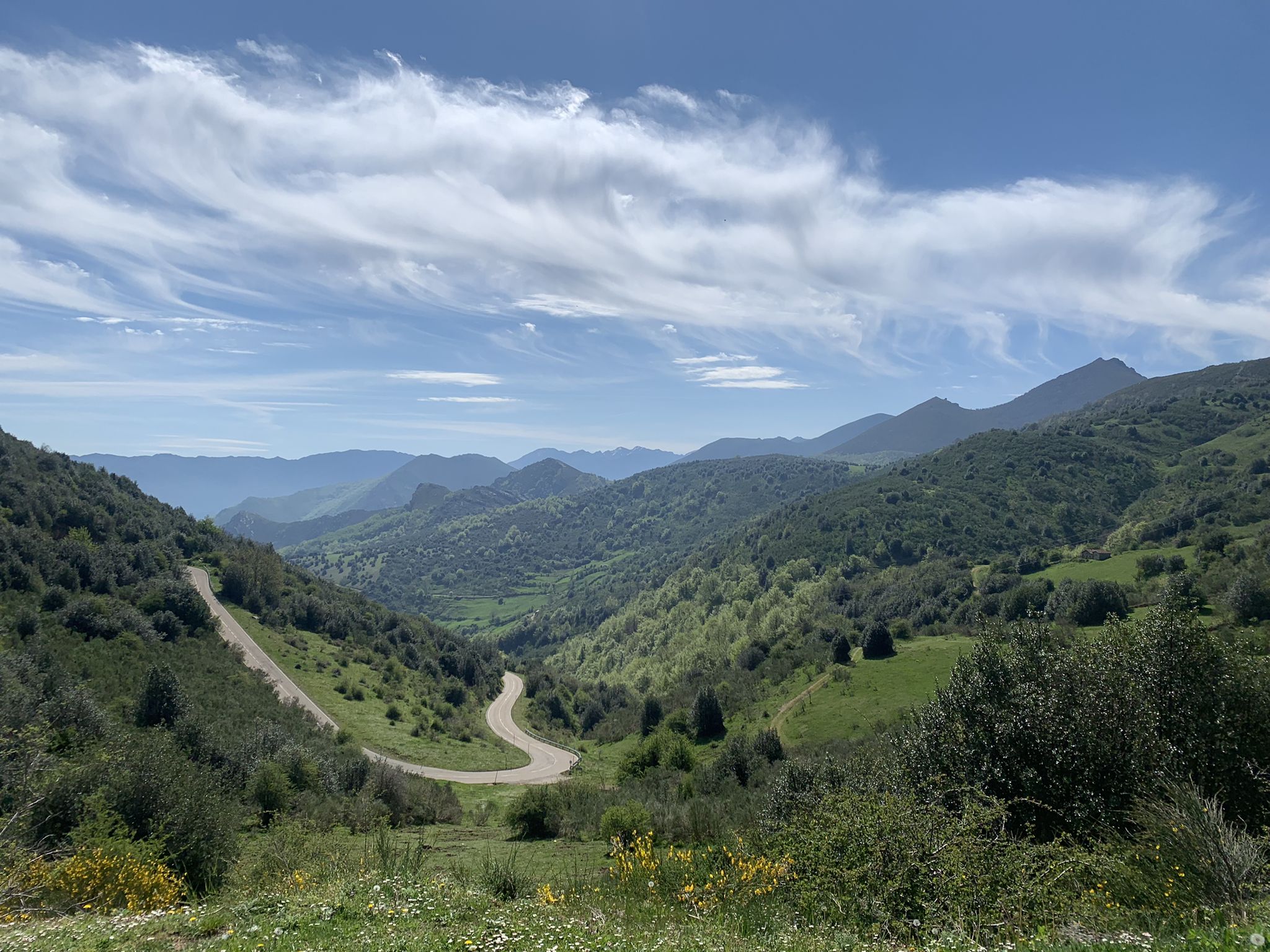
Puerto de Ventana is a mountain pass located in the Cantabrian Mountains, between the Principality of Asturias and the province of León. It lies at an altitude of 1,587 meters and connects the municipality of San Emiliano in León with the Asturian municipality of Teverga. From the pass, you can enjoy a breathtaking view of the San Emiliano Valley, known as Babia de Yuso.
2
0

Beautiful port with very very hard climbs on both sides.
1
0
Beautiful, impressive environment.
1
0
Frequently Asked Questions
What kind of terrain can I expect on the running routes in San Emiliano?
The running routes in San Emiliano are characterized by a diverse and striking natural landscape, featuring rugged mountain reliefs, deep valleys, and lush forests. You'll encounter clear examples of glacial erosion and Karstic relief, creating unique geological formations. Many trails offer shaded paths through beech and oak trees, as well as alpine meadows.
Are there many challenging running routes in San Emiliano?
Yes, San Emiliano is known for its challenging terrain. Out of approximately 15 running routes available, the vast majority are rated as difficult. For instance, the Ascent to the Peñas Ubinas — circular from Tuíza is a difficult 8.1-mile trail with significant elevation gain, offering breathtaking views.
Are there any moderate running trails available in the area?
While most routes are challenging, there are some moderate options. The Cordel de Merinas Trail is a moderate 5.7-mile path that leads through varied landscapes and can typically be completed in about 1 hour 7 minutes.
What natural landmarks or scenic viewpoints can I see while jogging in San Emiliano?
San Emiliano offers numerous natural landmarks and scenic viewpoints. You can enjoy views of the impressive Peña Ubiña, explore the San Emiliano Canyon with its dense beech and oak forests, or discover the picturesque Somiedo lakes. The region also features unique glacial and Karstic formations, and alpine meadows with views of reservoirs like La Cantarilla.
Are there any circular running routes in San Emiliano?
Yes, there are several circular running routes. A notable one is the Medieval Route of Alesga Castle Loop, which offers a historical jogging experience through varied landscapes. Another option is the Ascent to the Peñas Ubinas — circular from Tuíza, providing challenging terrain and stunning mountain vistas.
What do other runners say about the trails in San Emiliano?
The running routes in San Emiliano are highly rated by the komoot community, with an average score of 5.0 stars. Nearly 200 runners have explored the area, often praising the diverse terrain, breathtaking views, and the challenging yet rewarding nature of the trails.
Can I spot any wildlife during my runs in San Emiliano?
Yes, the diverse flora and fauna of San Emiliano offer opportunities for wildlife spotting. The abundant woods are a habitat for various birds of prey, chamois, roe deer, deer, wild boars, and otters, especially around the Babia Valley and its lakes.
Are there any running routes that pass by lakes or reservoirs?
Absolutely. The Babia valley is home to the picturesque Somiedo lakes, offering serene routes amidst natural beauty. You can also find routes like the moderate loop from San Emiliano to Casa Mieres, which provides views of the La Cantarilla Reservoir. Additionally, the View of Lago de la Cueva – View of Lago de la Cueva loop from Alto de la Farrapona is a popular option.
What is the best time of year to go jogging in San Emiliano?
San Emiliano is an excellent destination for outdoor activities thanks to its diverse natural landscapes. While specific seasonal advice isn't provided, the region's mountain environment suggests that spring and autumn offer pleasant temperatures and vibrant scenery for running. Summer can also be good, especially in shaded areas or at higher altitudes.
Are there any historical routes for running in San Emiliano?
Yes, you can combine your run with a historical experience. The Medieval Route of Alesga Castle Loop offers a unique jogging experience through varied landscapes with historical significance.
What are some of the mountain passes I might encounter or see on a run?
The region around San Emiliano features several notable mountain passes. Depending on your route, you might encounter or see passes like La Cubilla Pass or Ventana Pass. The Ricabo to Alto de Ventana Trail — circular via the GR 207 is an example of a route that incorporates such features.
How long do the running trails in San Emiliano typically take to complete?
The duration of running trails in San Emiliano varies significantly based on their length and difficulty. For example, the Ascent to the Peñas Ubinas — circular from Tuíza, a difficult 8.1-mile trail, typically takes around 3 hours 46 minutes. A moderate route like the Cordel de Merinas Trail, at 5.7 miles, can be completed in about 1 hour 7 minutes.
Most popular attractions around San Emiliano

Get inspired with the komoot mobile app


Explore more
Browse the best Running Trails & Routes in other regions.
