The best walks and hikes around San Emiliano
4.6
(230)
1,896
hikers
38
hikes
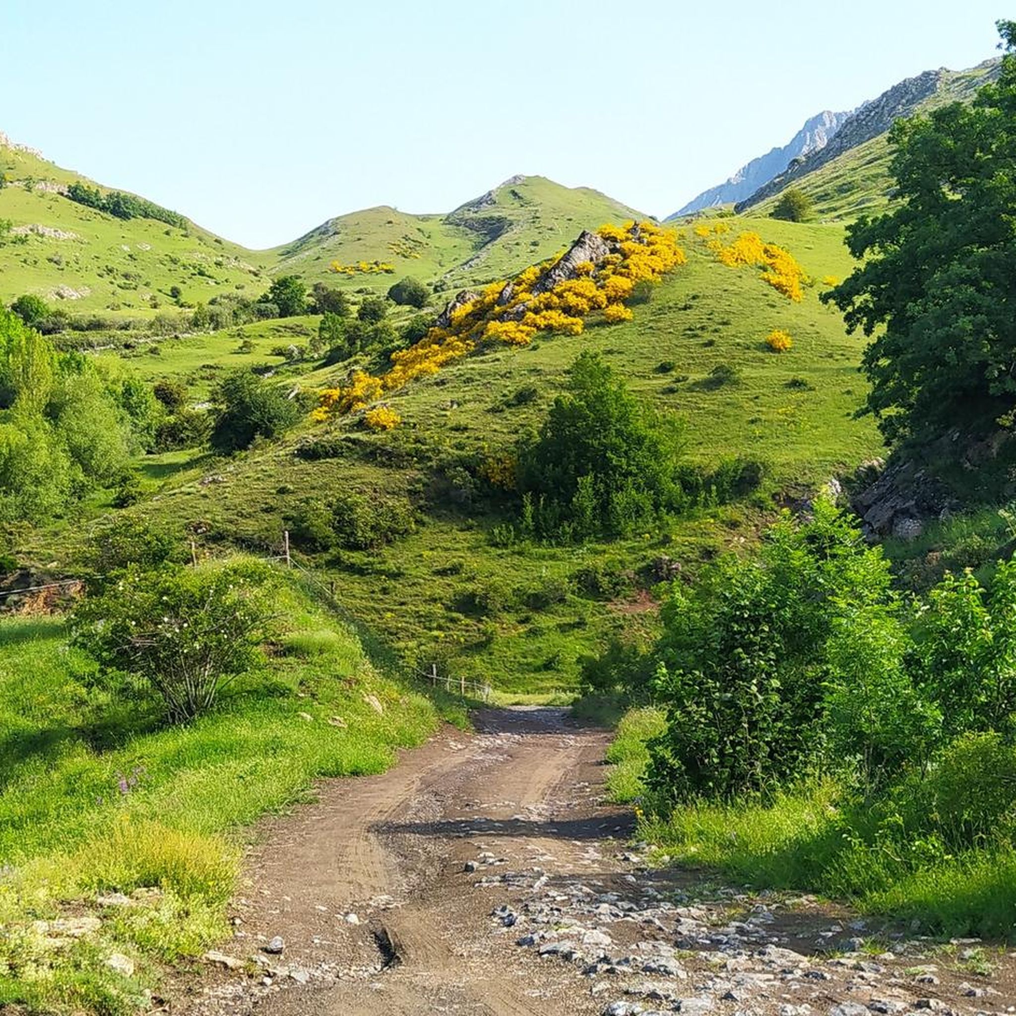
Hiking around San Emiliano offers diverse and contrasting natural landscapes, characterized by abrupt mountain reliefs and deep valleys. The region features clear signs of glacial erosion and distinctive Karstic relief, contributing to its geological interest. Dense forests of beeches, oaks, and Pyrenean oaks cover areas like the San Emiliano Canyon, while the impressive Peña Ubiña, soaring to 2,417 meters, dominates the skyline. The area also encompasses parts of the Babia and Luna Valleys, providing varied terrain for exploration.
Best hiking…
Last updated: October 10, 2026
4.8
(106)
557
hikers
7.72km
02:32
320m
320m
Moderate hike. Good fitness required. Mostly accessible paths. Sure-footedness required.
4.0
(2)
29
hikers
20.3km
07:02
1,040m
1,040m
Hard hike. Very good fitness required. Mostly accessible paths. Sure-footedness required.

5.0
(4)
20
hikers
8.46km
02:26
200m
200m
Moderate hike. Good fitness required. Mostly accessible paths. Sure-footedness required.
4.5
(2)
6
hikers
10.6km
03:12
350m
350m
Moderate hike. Good fitness required. Mostly accessible paths. Sure-footedness required.
5.96km
02:01
300m
300m
Moderate hike. Good fitness required. Easily-accessible paths. Suitable for all skill levels.
Get access to more routes and recommendations from other explorers.
Already have an account?
Our route recommendations are based on thousands of hikes, rides, and runs completed by other people on komoot.
Start today with a free account
Your next adventure awaits.
Popular around San Emiliano

12 hiking gems throughout Spain
Along a Roman road to Asturias in Spain – Camino Real de la Mesa (GR 101)

Height Challenges — Ports in Castilla y León

TransCantabrica – Extreme mountain biking in northern Spain
Running Trails around San Emiliano
MTB Trails around San Emiliano
Road Cycling Routes around San Emiliano
Cycling around San Emiliano
Other adventures around San Emiliano


Tips from the Community

The pass is now paved and can be driven on by car.
1
0

During the mining era, this pass served as a discreet link between mines on either side, and minimal traces of old cart and mule traffic remain, though they don't coincide with the current road. From above, the wind is almost constant, and the view towards the Saliencia lakes has that air of a "natural viewpoint" before the term even existed. It's perfect to mark on Komoot as a key point on your route due to its spaciousness, its somewhat hidden history, and its character as a natural border.
1
0
In 1926, the Mieres Town Council purchased the pastures in the area for its livestock, building Casa Mieres there as a refuge for shepherds and a support point in the high mountain passes. Years later, during the Civil War, the surrounding area was filled with parapets, trenches, and small defensive posts due to its strategic position between valleys. The contrast between the peaceful life of the shepherds and the militarized landscape left traces that can still be discerned in the nearby hills: low walls, cuts in the rock, and remnants of old positions. It is a place where the current silence coexists with stories of hard work, swift fogs, and guarded passes.
2
0

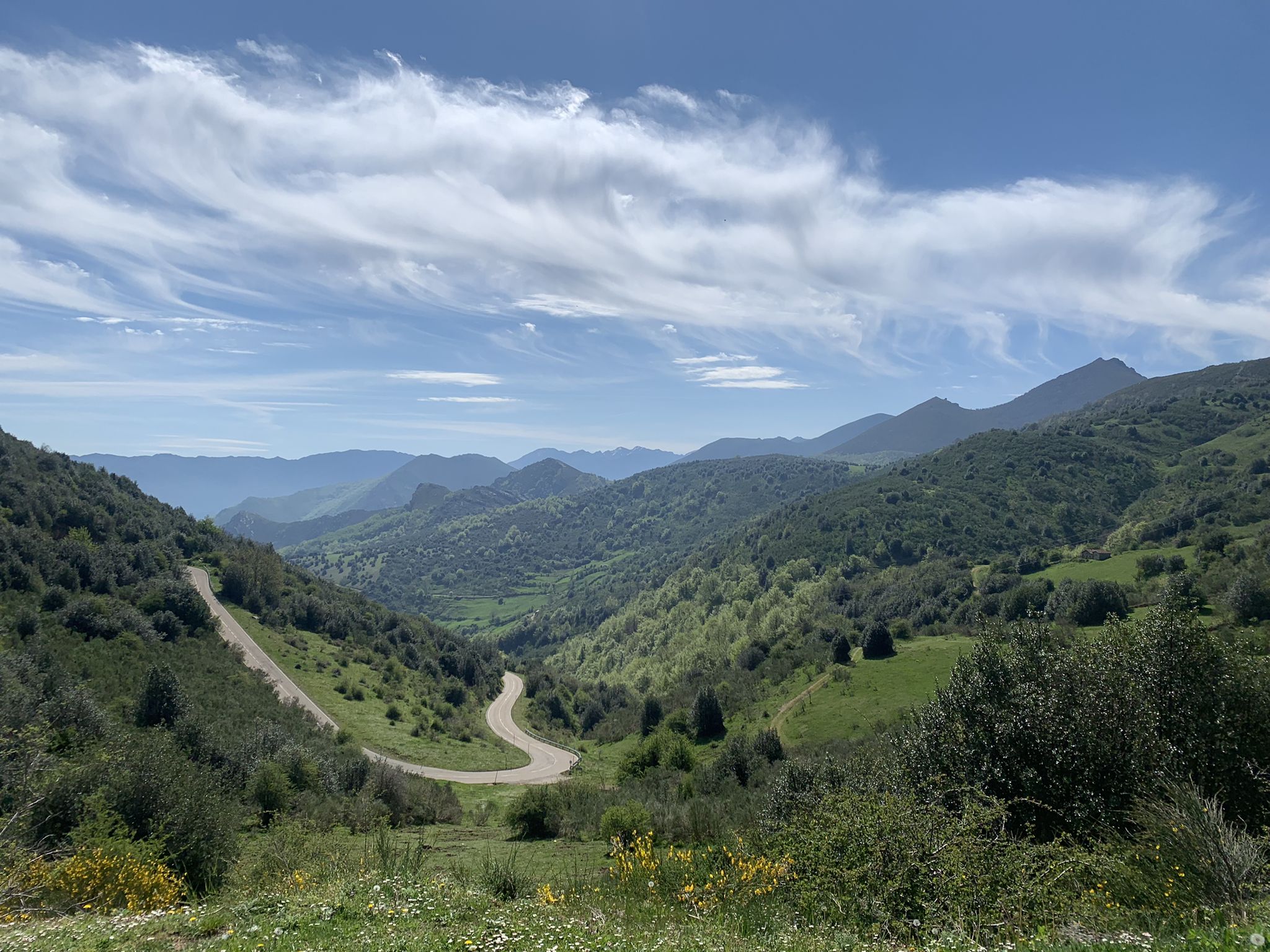
Puerto de Ventana is a mountain pass located in the Cantabrian Mountains, between the Principality of Asturias and the province of León. It lies at an altitude of 1,587 meters and connects the municipality of San Emiliano in León with the Asturian municipality of Teverga. From the pass, you can enjoy a breathtaking view of the San Emiliano Valley, known as Babia de Yuso.
2
0

Spectacular with views of paradise
0
0

Beautiful port with very very hard climbs on both sides.
1
0
Beautiful, impressive environment.
1
0
Frequently Asked Questions
How many hiking trails are available in San Emiliano?
San Emiliano offers a wide variety of hiking experiences with over 35 routes. These range from easy strolls to challenging mountain ascents, catering to different fitness levels and preferences.
What kind of terrain can I expect on hikes in San Emiliano?
The region is characterized by diverse and contrasting natural landscapes. You'll find abrupt mountain reliefs, deep valleys, and dense forests of beeches, oaks, and Pyrenean oaks, particularly in areas like the San Emiliano Canyon. The terrain also shows clear signs of glacial erosion and distinctive Karstic relief, especially around the impressive Peña Ubiña.
Are there any circular hiking routes in San Emiliano?
Yes, San Emiliano features several circular routes. A notable challenging option is the Cresta Sierra de los Bígaros y Lago de la Cueva por la Farrapona — circular desde Torrestío, which offers expansive ridge views and leads to Cueva Lake. For a moderate experience, consider the Saliencia Lakes Loop – Somiedo Natural Park.
What are some natural landmarks or viewpoints to look out for?
The region is rich in natural features. You can explore the picturesque Somiedo lakes and the Barrios de Luna Dam within the Babia valley. The impressive Peña Ubiña, soaring to 2,417 meters, dominates the skyline and offers stunning views. Additionally, the San Emiliano Canyon is densely forested with ancient trees, providing a unique natural experience.
Are there any family-friendly hiking options in San Emiliano?
While many routes involve varied terrain, there are options suitable for families. The region has 2 easy routes and 24 moderate routes. For a moderate, shorter option, the Saliencia Lakes Loop – Somiedo Natural Park is a good choice, taking around 2.5 hours to complete.
What do other hikers say about the trails in San Emiliano?
The komoot community highly rates the trails in San Emiliano, with an average score of 4.8 stars from over 160 reviews. Hikers often praise the diverse landscapes, from abrupt mountain reliefs to deep valleys and dense woodlands, and appreciate the variety of options available for different ability levels.
Can I find any huts or shelters along the hiking trails?
Yes, there are several huts and shelters in the area. Notable options include the Meicín Mountain Hut, Teito of Braña La Corba, and Casa Mieres. These can provide a resting point or shelter during your hike.
Are there any historical sites or cultural attractions near the hiking routes?
Beyond nature, the region offers cultural attractions. You can find the Renaissance Quiñones palace, the Clerk's House, and walled enclosures in Riolago municipality. There are also emblazoned houses and vestiges of Iberian-Roman towns in surrounding villages, and a Roman Road indicates historical pathways that can be explored.
What is the best time of year to go hiking in San Emiliano?
San Emiliano's diverse landscapes make it suitable for hiking across multiple seasons. The fertile soil supports a variety of flora, including birches, which would be beautiful in spring and autumn. Given the abrupt mountain reliefs, summer offers more stable weather for higher altitude trails, while spring and autumn provide pleasant temperatures for lower valley walks.
Are there opportunities for wildlife observation while hiking?
Yes, the abundant woods and diverse habitats in San Emiliano provide excellent opportunities for wildlife observation. You might spot birds of prey, chamois, roe deer, deer, wild boars, and otters. The region is part of the San Emiliano Valley Nature Park, which is dedicated to preserving this rich biodiversity.
What is the longest challenging hike available in San Emiliano?
For experienced hikers seeking a challenge, the Cresta Sierra de los Bígaros y Lago de la Cueva por la Farrapona — circular desde Torrestío is a difficult 20.3 km (12.6 miles) path. This route typically takes around 7 hours 30 minutes to complete and offers extensive ridge views.
Can I combine hiking with exploring mountain passes?
Absolutely. San Emiliano is home to several significant mountain passes. You can incorporate areas like La Cubilla Pass or Ventana Pass into your hiking plans. For example, the Pico el Comal desde el Puerto de Ventana route starts from a pass and leads through the Parque Natural de Las Ubiñas-La Mesa.
Most popular attractions around San Emiliano

Get inspired with the komoot mobile app


Explore more
Browse the best Hikes in other regions.
