The best MTB trails around Güevéjar
4.4
(623)
5,152
riders
169
rides
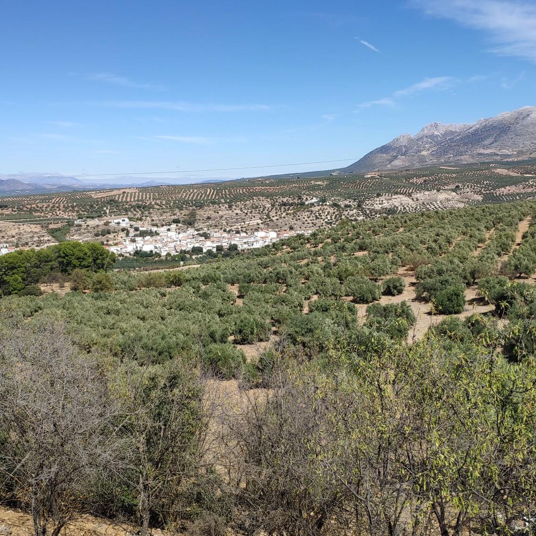
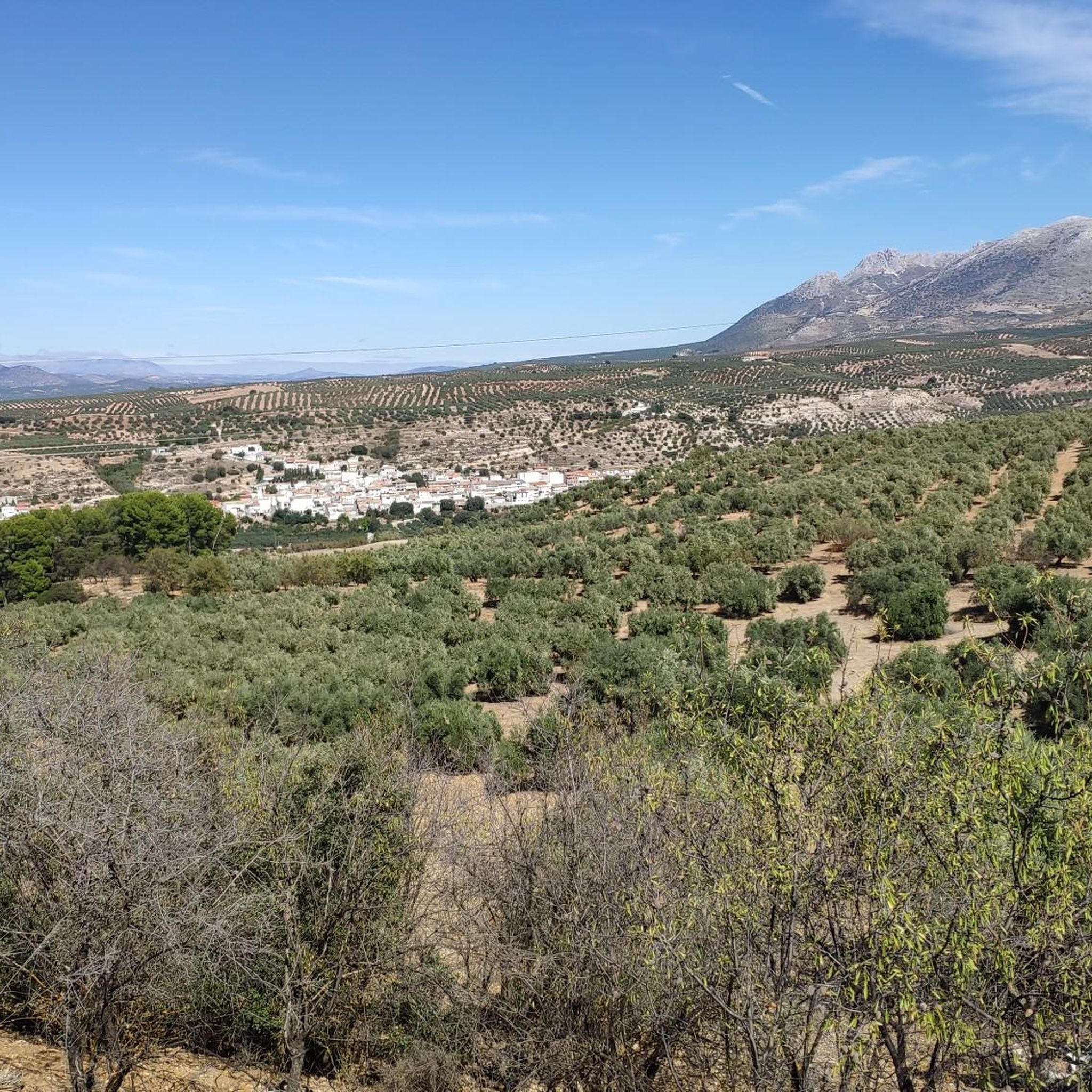
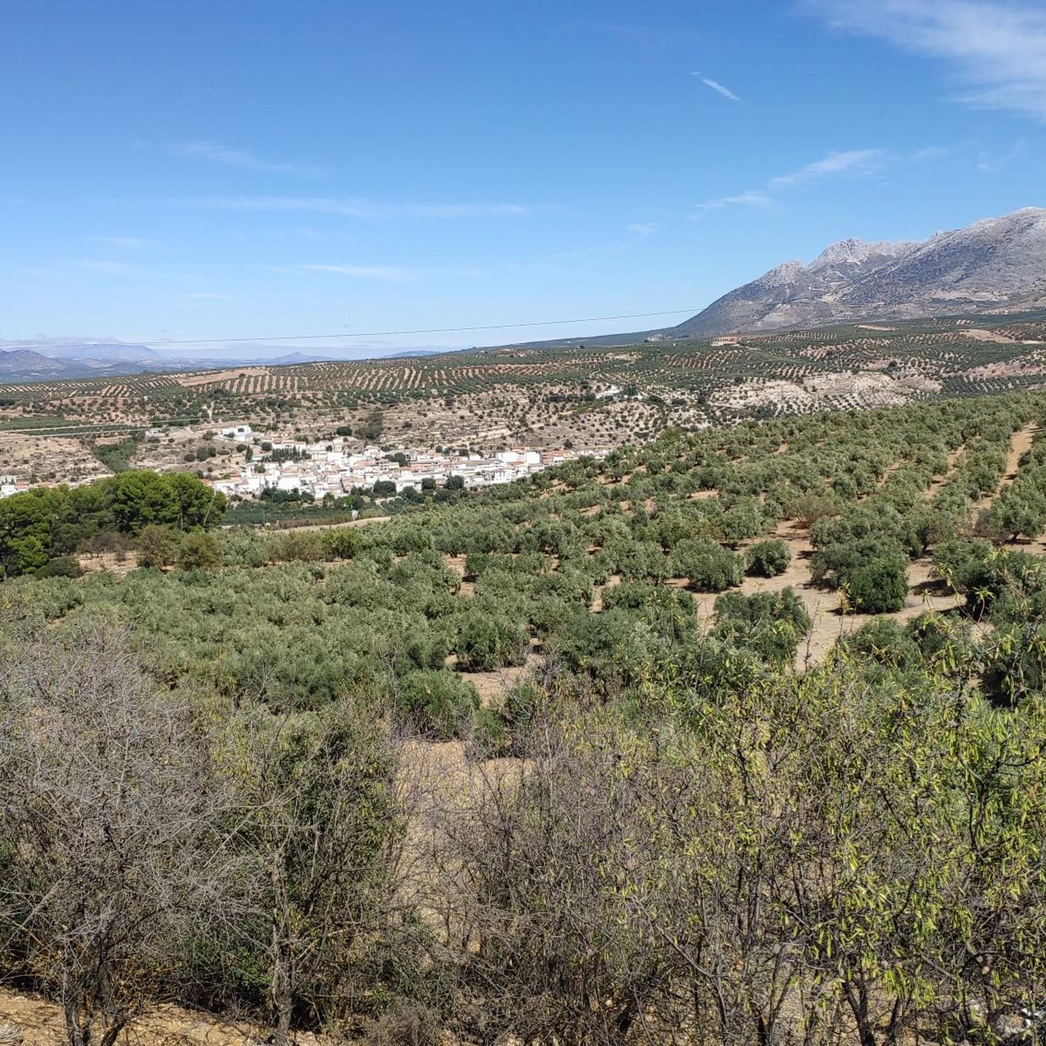
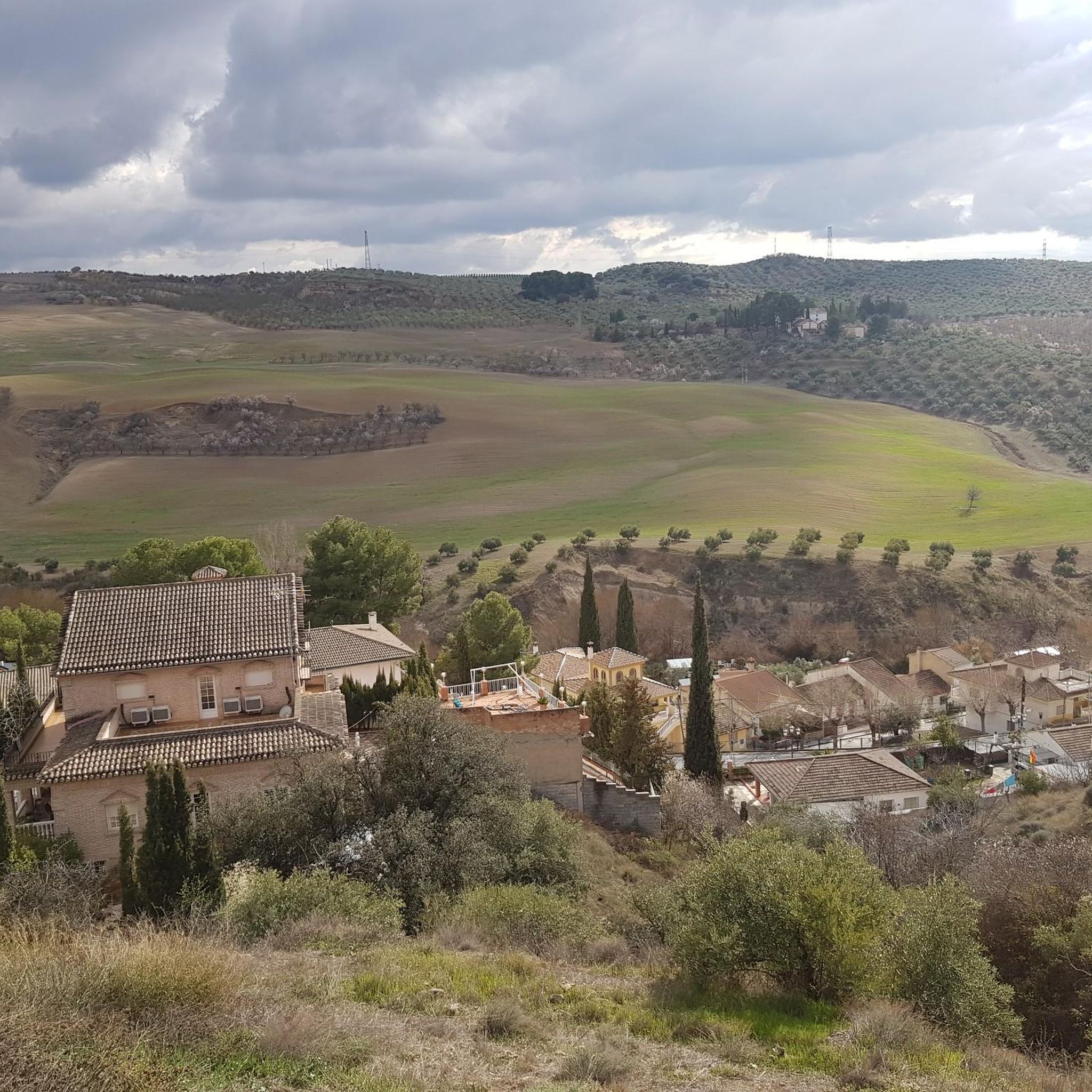
Mountain biking around Güevéjar offers access to varied terrain within the "La Vega" region of Granada. The area features a mix of fertile plains and elevated sections, providing diverse gradients for mountain bike trails. Its proximity to the Sierra Nevada National Park further expands the range of available routes, including mountainous landscapes and river valleys. The local landscape includes natural features like Peñón de Bartolo, contributing to scenic and varied riding experiences.
Best mountain bike trails around Güevéjar
- The most popular mountain bike trail is Sundial of Llano de la Perdiz – Jesús del Valle Estate loop from Peligros, a 25.6 miles (41.2 km) trail that takes 3 hours 10 minutes to complete. This moderate route features a mix of open terrain and scenic views.
- Another top favourite among local mountain bikers is El Sotillo Recreational Area – Collado del Agua loop from Jun, a difficult 37.5 miles (60.3 km) path. This route includes significant elevation gain through varied landscapes.
- Local mountain bikers also love the Cat's Cave – Cueva del Gato Viewpoint loop from Alfacar, an 18.4 miles (29.6 km) trail leading through elevated areas and offering viewpoints, often completed in about 2 hours 45 minutes.
- Mountain biking around Güevéjar is defined by fertile plains, elevated sections, and the mountainous terrain accessible near the Sierra Nevada. The network of mountain bike trails Güevéjar offers options for different ability levels, from moderate to difficult.
- The routes in Güevéjar are highly rated by the komoot community with an average score of 4.5 stars from over 600 reviews. More than 6000 mountain bikers have used komoot to explore Güevéjar's varied terrain.
Last updated: June 21, 2026
4.6
(8)
52
riders
Hard mountain bike ride. Good fitness required. Advanced riding skills necessary. Some portions of the route may require you to push your bike.
4.3
(3)
7
riders
24.5km
01:51
310m
310m
This moderate 15.2-mile mountain bike route circles the scenic Cubillas Reservoir near Albolote, offering a good workout.

Sign up for free
4.4
(7)
163
riders
55.7km
05:18
1,240m
1,230m
Hard mountain bike ride. Very good fitness required. Advanced riding skills necessary. Some portions of the route may require you to push your bike.
5.0
(15)
133
riders
43.8km
03:18
660m
660m
Moderate mountain bike ride. Good fitness required. Suitable for all skill levels.
4.8
(8)
146
riders
72.7km
04:46
940m
940m
Hard mountain bike ride. Very good fitness required. Suitable for all skill levels.
Get access to more routes and recommendations from other explorers.
Sign up for free
Already have an account?
Our route recommendations are based on thousands of hikes, rides, and runs completed by other people on komoot.
Start today with a free account
Your next adventure awaits.
Login or Signup
Tips from the Community

Attention: This tour is strongly discouraged! It leads through private property at least twice, once even through a private hunting ground! The path is blocked by gates and barriers. We aborted the tour and had to painstakingly find a way back.
0
0

The Church of San Gil and Santa Ana, popularly known as the Church of Santa Ana, is a 16th-century Mudéjar monument located in one of Granada's most charming corners: Plaza Nueva, right at the beginning of the Carrera del Darro and at the foot of the Alhambra. Built in 1537 by order of the parish of the same name, on the site of a former main mosque (Almanzora). The project is the work of the renowned architect Diego de Siloé, a central figure of the Renaissance in Granada. Its Mudéjar tower was erected between 1561 and 1563 by Juan Castellar, characterized by its framed openings and alfiz decoration.
12
0

The Church of San Gil and Santa Ana is a small church with a Mudéjar style, located in Plaza Nueva, where the Carrera del Darro begins, marking the start of our route through the Albaicín and Sacromonte districts. It was built according to a design by Diego de Siloé during the second third of the 16th century (1537-1548) on the site formerly occupied by the Almanzora mosque, founded by King Badis. This mosque stood at the foot of the Alhambra, between the right bank of the Darro River and the Almanzora neighborhood, which were connected by a stone bridge. Once the church was built, this bridge was renamed the Santa Ana Bridge. It is in the Mudéjar style.
3
1
The Church of San Gil and Santa Ana is a prime example of Granada's Mudéjar architecture. It stands on the site of a former mosque. Its Renaissance façade, adorned with grotesques and Corinthian columns, was designed by Sebastián de Alcántara, a prominent artist in the city. The tower, decorated with tiles and glazed roof tiles, is the finest example of Mudéjar architecture in the city. Only the old minaret remains of the former mosque. The Granadan heroine Mariana Pineda celebrated her wedding in this church. If you'd like to learn more about Mariana Pineda, here's a link: https://historia.nationalgeographic.com.es/a/mariana-pineda-rebelde-que-eligio-morir-antes-que-delatar-sus-companeros_16811
3
1

I did this route in the summer and there were a lot of mosquitoes.
0
0

Here, people dance in the square on Saturday evenings 🤩. The older students really dressed up. They played everything that works as a couple's dance. There was a slow waltz, a rumba... if you don't want to dance yourself, you can just watch the others. A fantastic experience and a fantastic atmosphere 😍
6
0

Fresh water on your way is a luxury, especially when the heat is on.
1
0
Fresh water on your path when you walk it
1
0
Frequently Asked Questions
How many mountain bike trails are available around Güevéjar?
There are over 200 mountain bike trails around Güevéjar, offering a wide range of options for different skill levels. These routes explore the varied terrain of the "La Vega" region and areas close to the Sierra Nevada National Park.
What are the typical difficulty levels for mountain biking in Güevéjar?
The trails around Güevéjar cater to various abilities. You'll find approximately 26 easy routes, 110 moderate routes, and 81 difficult routes. The terrain ranges from fertile plains to elevated sections, with some routes featuring significant elevation gain, especially closer to the Sierra Nevada.
What do other mountain bikers say about the trails in Güevéjar?
The mountain biking routes in Güevéjar are highly rated by the komoot community, with an average score of 4.5 stars from over 600 reviews. Riders often praise the diverse landscapes, from open terrain to challenging climbs, and the scenic views available on many routes.
Are there any family-friendly mountain bike routes in Güevéjar?
Yes, Güevéjar offers several routes suitable for families and less experienced riders. There are approximately 26 easy routes available that provide a gentler introduction to mountain biking in the region. These routes typically feature less challenging gradients and more accessible terrain.
Are there any circular mountain bike routes around Güevéjar?
Many of the mountain bike routes around Güevéjar are designed as loops, allowing you to start and finish in the same location. For example, the Sundial of Llano de la Perdiz – Jesús del Valle Estate loop from Peligros is a popular moderate circular route.
What kind of natural features or landmarks can I expect to see on the trails?
The region around Güevéjar offers diverse natural features. You can explore areas like Peñón de Bartolo, known for its scenic views and local flora. Proximity to the Sierra Nevada also means access to river valleys and mountainous landscapes. For historical and cultural points of interest, you might encounter highlights such as the Alhambra or the San Nicolás Viewpoint on routes that venture closer to Granada.
Are there any routes with significant elevation gain for advanced riders?
Yes, for advanced riders seeking a challenge, there are routes with significant elevation gain. The El Sotillo Recreational Area – Collado del Agua loop from Jun is a difficult 60.3 km path with over 1500 meters of elevation gain, traversing varied and demanding landscapes.
What is the best season for mountain biking in Güevéjar?
The best seasons for mountain biking in Güevéjar are typically spring and autumn. During these times, the weather is generally mild and pleasant, avoiding the intense heat of summer and the colder, potentially wetter conditions of winter. This allows for comfortable riding and optimal trail conditions.
Are there any scenic routes with viewpoints?
Many routes offer scenic vistas. The Cat's Cave – Cueva del Gato Viewpoint loop from Alfacar is an excellent choice, leading through elevated areas and providing impressive viewpoints. The region's position within "La Vega" and near the Sierra Nevada ensures picturesque landscapes on many trails.
How long do mountain bike trails typically take to complete?
The duration of trails varies significantly based on distance and difficulty. Shorter, moderate routes like the Sundial of Llano de la Perdiz – Jesús del Valle Estate loop from Peligros (41.2 km) can take around 3 hours 10 minutes. More challenging and longer routes, such as the El Sotillo Recreational Area – Collado del Agua loop from Jun (60.3 km), can take over 5 hours.
Can I find routes that pass by historical sites or cultural attractions?
Yes, some routes, especially those extending towards Granada, can bring you close to significant historical sites. For instance, the Viewpoint of the Alhambra – Fountain at the Town Square loop from Peligros offers views of the iconic Alhambra and other historical points of interest.
Are there any routes that explore caves or unique geological formations?
While Güevéjar itself is known for natural features like Peñón de Bartolo, the broader area near Güevéjar, particularly towards Sacromonte, features interesting cave systems. You can find highlights like the Sacromonte Caves Museum or Cueva del Agua, which might be accessible via some mountain bike routes or nearby excursions.
Most popular attractions around Güevéjar

Get inspired with the komoot mobile app


Explore more
Browse the best MTB trails in other regions.
