The best running trails around Santas Martas
19
runners
5
runs
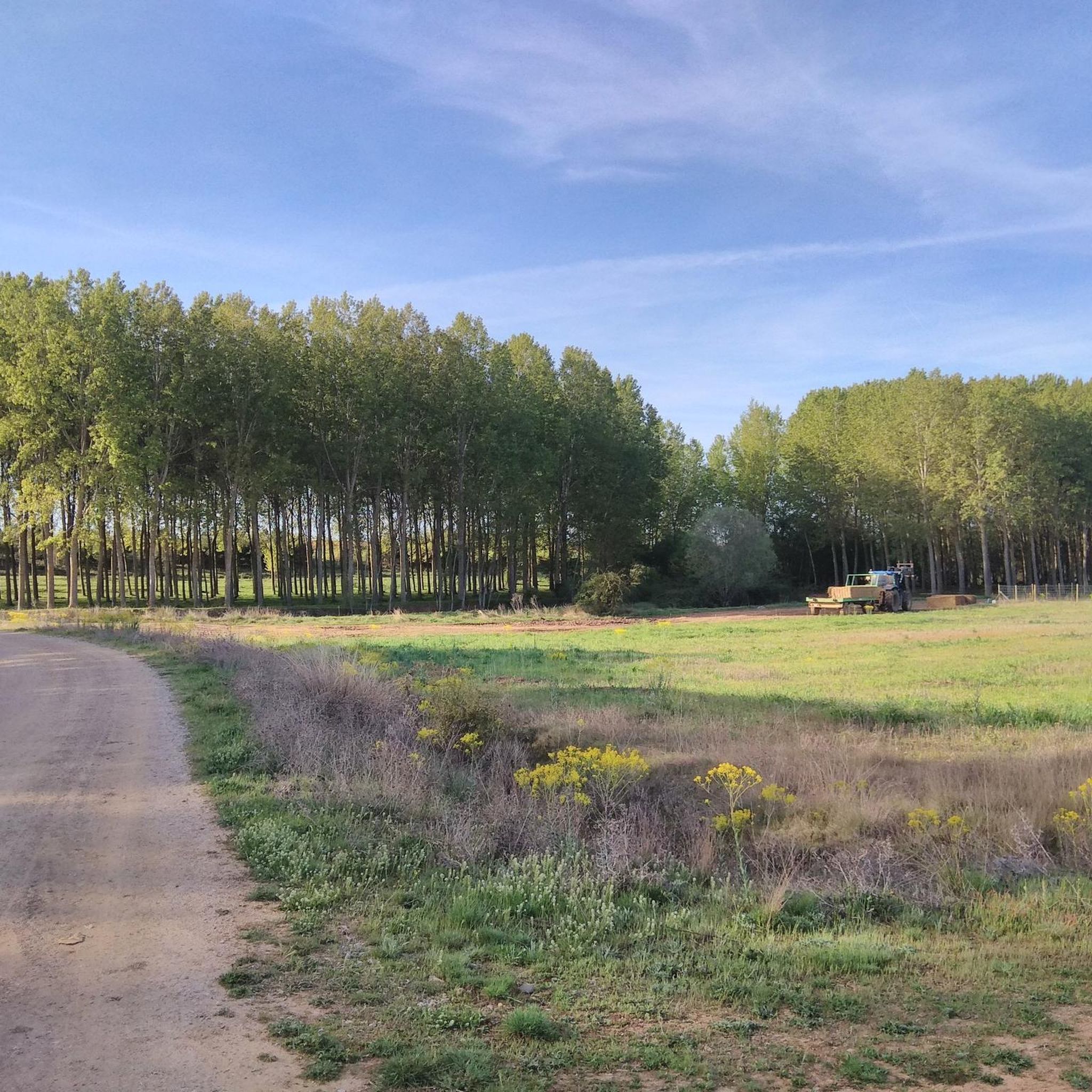
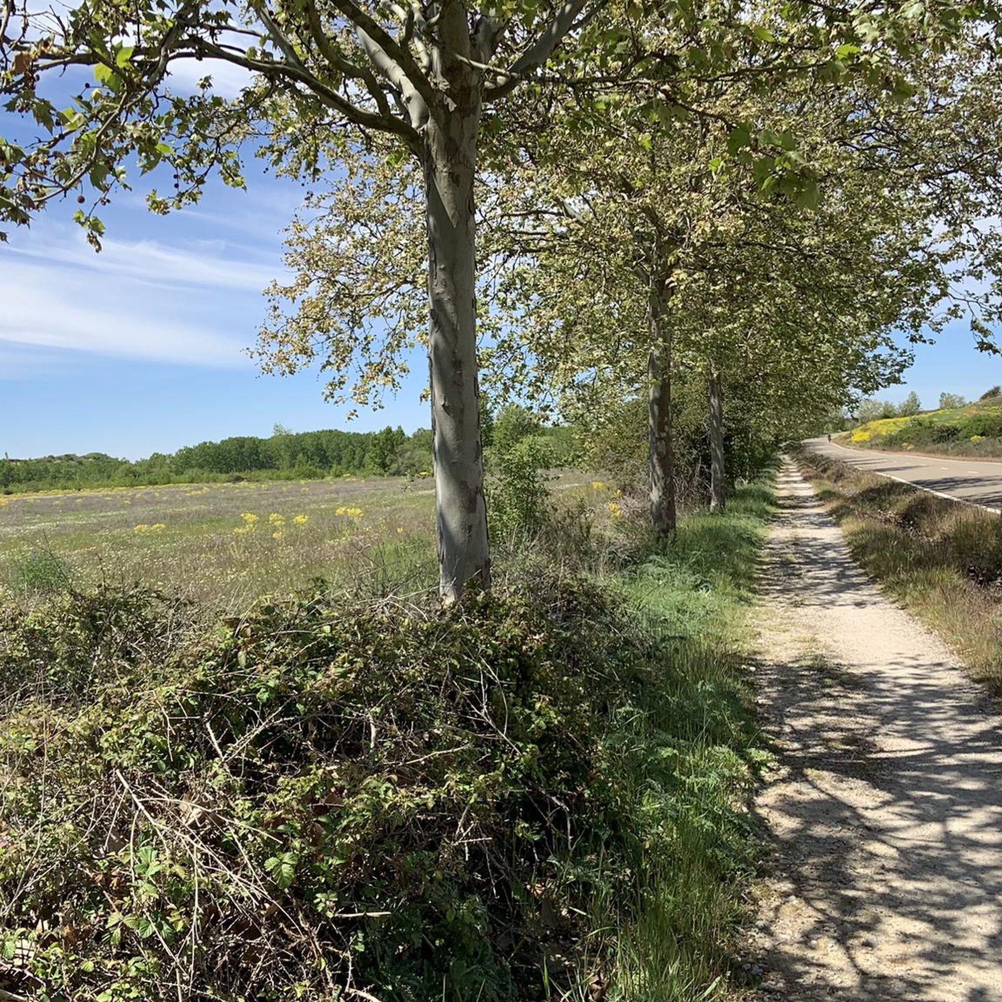
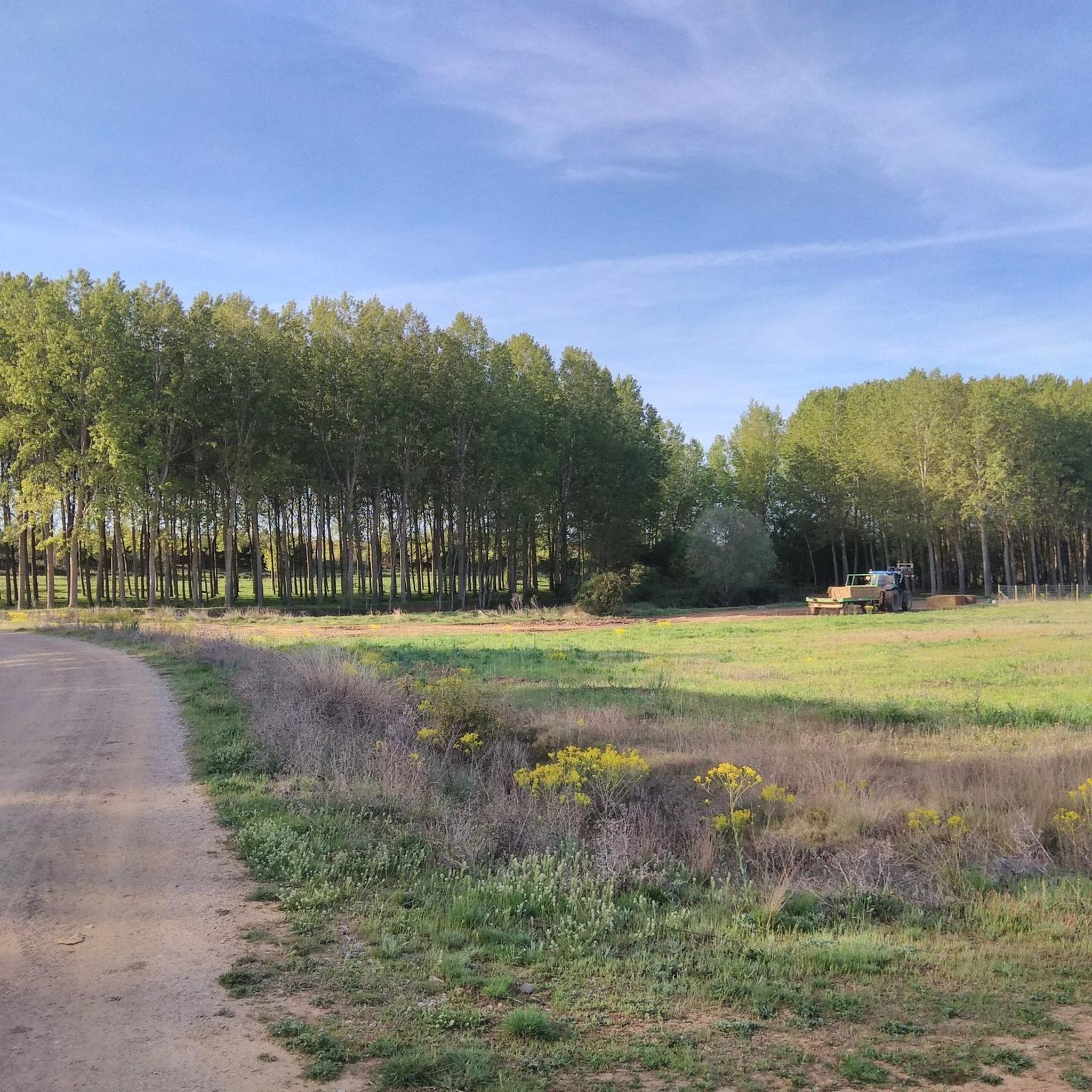
Jogging routes around Santas Martas traverse a landscape characterized by river valleys, historical sites, and varied rural terrain. The region features routes along the Esla River, through agricultural areas, and past ancient settlements. Runners can expect a mix of flat paths and gentle inclines, offering diverse experiences for different fitness levels.
Best jogging routes around Santas Martas
- The most popular jogging route is El Burgo Ranero – Earth Houses of Reliegos loop from Vallecea, a 34.3 miles (55.2 km)…
Last updated: July 12, 2026
8
runners
55.2km
05:43
180m
180m
Hard run. Very good fitness required. Mostly paved surfaces. Suitable for all skill levels.
5
runners
37.6km
04:05
320m
320m
Hard run. Very good fitness required. Mostly accessible paths. Some sure footedness required.

Sign up for free
2
runners
13.9km
01:33
30m
30m
Moderate run. Good fitness required. Mostly paved surfaces. Suitable for all skill levels.
2
runners
9.14km
01:06
130m
130m
Moderate run. Good fitness required. Mostly paved surfaces. Suitable for all skill levels.
2
runners
13.5km
01:27
30m
30m
Moderate run. Good fitness required. Mostly paved surfaces. Suitable for all skill levels.
Our route recommendations are based on thousands of hikes, rides, and runs completed by other people on komoot.
Start today with a free account
Your next adventure awaits.
Login or Signup

Tips from the Community

Inside is the Most Holy Christ of Thirst.
0
0

By choosing this name, the bishopric of Leon pays tribute to a saint whose name will be familiar to the many pilgrims who pass through here on the “Camino frances”, because some time before (in the autonomous region of La Rioja) they reached the town named after him, Santo Domingo de la Calzada, also a very famous destination on the approximately 800-kilometer-long pilgrimage route from the Pyrenees to the tomb of the apostle in Santiago de Compostela in Galicia.
6
0

Bar Elvis in Reliegos, also known as Bar La Torre, is a popular spot for pilgrims following the Camino Francés. The bar is famous for its unique and eccentric atmosphere, created by the owner Eusignio Prieto, also known as Sinín. The bar is located on the Camino Francés, a major route to Santiago de Compostela. The interior is filled with graffiti, artwork, and souvenirs left by pilgrims. It is a lively and colorful environment. Sinín is known for his warm welcome and his passion for serving pilgrims. He plays rock 'n' roll and oldies music, and offers delicious tapas and bocadillos. Bar Elvis features in the film "The Way" (2010), directed by Emilio Estevez.
2
0

It is the great Gothic cathedral. Over the centuries it has been rebuilt several times under the direction of numerous famous architects, giving it its own character.
10
0

You can easily drive over this bridge onto the motorway and reach your destination in a relaxed manner.
2
2

Burgo Ranero is characterised by its typical Castilian architecture and peaceful surroundings, making it an oasis of peace for those who walk the Camino. The name of the village is believed to come from a certain “Ranarius” or from the croaking of frogs in the local plains.
2
0
If you have the opportunity to explore this trail, you will enjoy the natural beauty and ecological richness of the area. Good hike! 🌿🚶♀️
3
0

One of the many bridges that need to be crossed, not all of them physical, when walking the camino
1
0
Frequently Asked Questions
What kind of running trails can I expect in Santas Martas?
Santas Martas offers a diverse range of running experiences, from moderate trails through varied landscapes to more challenging, longer routes. While there are no routes specifically categorized as 'easy' in our current selection, you'll find several moderate options that provide a good workout without extreme difficulty, often featuring gentle elevation changes. The region's unique geography, where the Caribbean Sea meets the Sierra Nevada mountains, means you can expect anything from coastal breezes to lush jungle paths and mountain foothills.
Are there any easy jogging routes for beginners in Santas Martas?
While our current selection of routes in Santas Martas leans towards moderate and difficult ratings, the region itself offers diverse terrains. For beginners, we recommend looking for flatter sections along the Caribbean coastline or exploring the less strenuous paths around the Historic Center of Santa Marta or El Rodadero. These areas provide scenic, less challenging environments for a comfortable run. Always check the route details for elevation and distance to match your fitness level.
How many jogging routes are available in Santas Martas?
Currently, komoot features several curated jogging routes in Santas Martas, with a total of 5 tours available. These include a mix of moderate and difficult options, ensuring there's something for runners looking for a good challenge.
Can I find circular running routes in Santas Martas?
Yes, Santas Martas offers several excellent circular running routes. For example, you can explore the challenging El Burgo Ranero – Earth Houses of Reliegos loop from Vallecea, which covers a significant distance and elevation. Another great option is the Leonese Lands Park – Lady Sculpture loop from Villasabariego, offering a substantial run through scenic landscapes.
Are there any interesting landmarks or attractions along the jogging routes?
Absolutely! Many running routes in Santas Martas pass by or near interesting landmarks. For instance, you might encounter historical bridges like Puente de Villarente or the Esla River Bridge in Mansilla de las Mulas. The El Burgo Ranero loop takes you near the charming settlement of El Burgo Ranero, and you could even pass by the unique Reliegos Meteorite Impact Site. The region's rich history and natural beauty provide plenty to see.
What are some longer running options for experienced runners in Santas Martas?
Experienced runners looking for a significant challenge will find several demanding routes. The El Burgo Ranero – Earth Houses of Reliegos loop from Vallecea is a difficult route spanning over 55 km. Another excellent option is the Leonese Lands Park – Lady Sculpture loop from Villasabariego, a difficult 37 km route with considerable elevation gain. These routes offer extensive distances and varied terrain for a rewarding long-distance run.
What is the best time of day to go jogging in Santas Martas?
Given Santa Marta's tropical climate, the best times for jogging are typically early mornings or late afternoons/evenings. During these periods, temperatures are cooler, and you can often enjoy a refreshing sea breeze, especially along coastal routes. This helps avoid the midday heat and humidity, making for a more comfortable and enjoyable run.
Are the running trails in Santas Martas accessible by public transport?
Accessibility by public transport varies depending on the specific starting point of each route. While some urban or coastal routes in areas like El Rodadero or the Historic Center are well-served by local buses, routes venturing into the Sierra Nevada foothills or more rural areas might require a taxi, private vehicle, or a combination of transport options. It's advisable to check local transport schedules and options for your chosen starting point in advance.
Can I find running routes with scenic viewpoints in Santas Martas?
Absolutely! Santas Martas is renowned for its breathtaking scenery. Routes in the foothills of the Sierra Nevada, especially around Minca, offer spectacular views of the Caribbean Sea and lush tropical landscapes. Even coastal runs along the Malecón provide expansive panoramic views. Look for routes that mention elevation or pass through natural parks like Tayrona for the most rewarding vistas.
Are there any moderate running routes suitable for a good workout?
Yes, there are several moderate running routes perfect for a good workout. The Esla River Dam loop from Mansilla de las Mulas is a moderate 13.9 km route with minimal elevation, ideal for a steady run. Another great option is the Ancient City of Lancia – Cliffs of Cuevas loop from Villasabariego, a moderate 9.1 km route with some elevation changes to keep things interesting.
What should I wear when jogging in Santas Martas?
Given the warm and often humid climate of Santas Martas, lightweight, breathable, and moisture-wicking athletic wear is highly recommended. For coastal runs, consider sun protection like a hat and sunglasses. If you're heading into the Sierra Nevada foothills or jungle trails, insect repellent and appropriate trail running shoes with good grip are essential due to varied terrain and potential for uneven surfaces. Always bring plenty of water to stay hydrated.
Most popular attractions around Santas Martas

Get inspired with the komoot mobile app


Explore more
Browse the best Running Trails & Routes in other regions.
