The best walks and hikes around Santas Martas
2.7
(3)
33
hikers
10
hikes
Hiking around Santas Martas offers a diverse landscape for outdoor exploration. The region features varied terrain, including paths that traverse agricultural areas and connect small towns. Elevation changes are generally moderate, with routes often following established tracks and rural roads. This provides a mix of open views and more sheltered sections, suitable for different hiking preferences.
Best hiking trails around Santas Martas
- The most popular hiking route is Villafañe-Lancia PRC-LE 66 Trail, a 3.8 miles (6.1 km) trail that…
Last updated: May 23, 2026
3.0
(1)
2
hikers
6.14km
01:41
100m
100m
Easy hike. Great for any fitness level. Easily-accessible paths. Suitable for all skill levels.
1
hikers
13.0km
03:17
30m
30m
Moderate hike. Good fitness required. Easily-accessible paths. Suitable for all skill levels.

Sign up for free
28.7km
07:21
110m
110m
Hard hike. Very good fitness required. Easily-accessible paths. Suitable for all skill levels.
14.3km
03:38
40m
40m
Moderate hike. Good fitness required. Easily-accessible paths. Suitable for all skill levels.
4.0
(1)
14
hikers
Moderate hike. Good fitness required. Easily-accessible paths. Suitable for all skill levels.
Get access to more routes and recommendations from other explorers.
Sign up for free
Already have an account?
Our route recommendations are based on thousands of hikes, rides, and runs completed by other people on komoot.
Start today with a free account
Your next adventure awaits.
Login or Signup
Popular around Santas Martas

Tips from the Community


The Ermita de Nuestra Señora de Perales is a historic chapel located in Bercianos del Real Camino. The chapel was built in the 17th century. It was originally dependent on the Hospital del Cebreiro, which was founded in the 12th century. It is a simple brick building with a gable roof and a single tower. The interior is sober but charming, with a focus on devotion to Our Lady of Perales. Every year on September 8, a romería (pilgrimage) is held in her honor, during which the people of Bercianos del Real Camino visit the chapel and celebrate a party. The chapel is open from June 15 to September 30, from Monday to Sunday, between 11:00 and 13:00 and 18:00 and 20:00.
2
0
The old city wall of Mansilla de las Mulas (also called Mansilla de los Muros), is an impressive example of medieval fortifications. These walls probably date from before 1181, the time of the repopulation under King Ferdinand II. The walls are built of limestone and rock, and are topped with battlements. Some parts of the wall are more than 14 metres high and up to three metres thick. Of the four original gates, the gate of Santa María or de Concepción is still completely preserved. There are six semicircular towers and a square tower that are still visible.
3
0

At this point you can still see the old city wall very impressively.
2
1

Burgo Ranero is characterised by its typical Castilian architecture and peaceful surroundings, making it an oasis of peace for those who walk the Camino. The name of the village is believed to come from a certain “Ranarius” or from the croaking of frogs in the local plains.
2
0
If you have the opportunity to explore this trail, you will enjoy the natural beauty and ecological richness of the area. Good hike! 🌿🚶♀️
3
0
Signage on the Camino de Santiago is essential for pilgrims. Yellow arrows: These arrows will guide you throughout the entire route. They indicate the direction to follow, especially at crossroads. The yellow color is due to the contribution of the parish priest Elías Valiña, a key figure in the resurgence of the Camino de Santiago in the 20th century. Cairns or milestones: These concrete blocks include an arrow, a yellow shell on a blue background and the distance in kilometers to Santiago de Compostela. You will find them every 500 meters in Galicia. Scallop shells: In addition to being drawn on the markers, scallop shells are distributed throughout the Camino. They are universal symbols and have been carried by pilgrims for centuries. The open part of the shell indicates the direction towards Santiago. Good way! 🚶♂️🌟
2
0
Frequently Asked Questions
How many hiking trails are available in Santas Martas?
There are 10 hiking trails documented in Santas Martas on komoot. These routes offer a range of difficulties, including 1 easy, 6 moderate, and 3 difficult options.
Are there any easy hiking trails suitable for beginners or families in Santas Martas?
Yes, for an easy and accessible option, consider the Villafañe-Lancia PRC-LE 66 Trail. This 6.1 km (3.8 miles) path takes about 1 hour 41 minutes to complete with minimal elevation gain, making it suitable for many hikers, including families.
What kind of landscapes can I expect to see while hiking in Santas Martas?
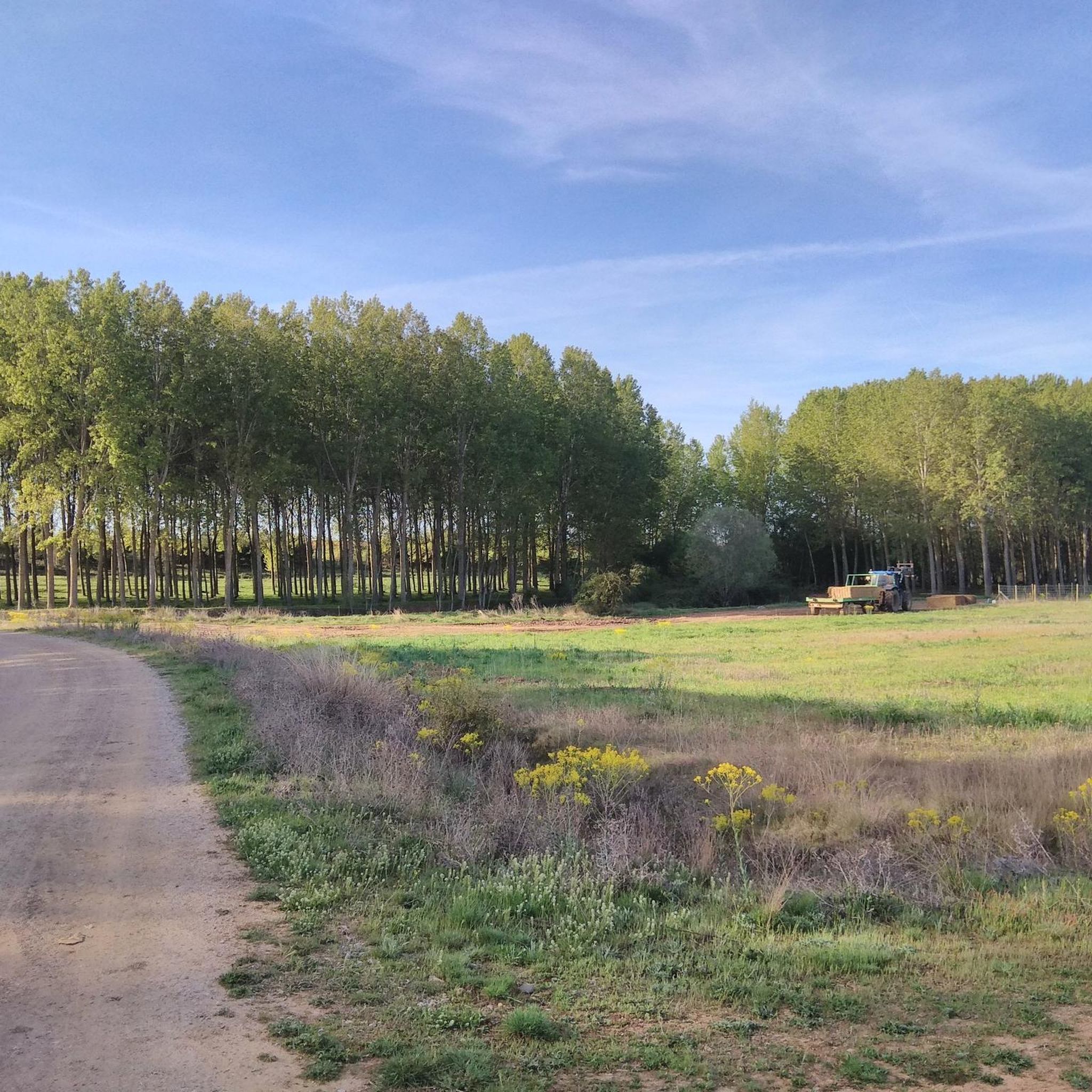
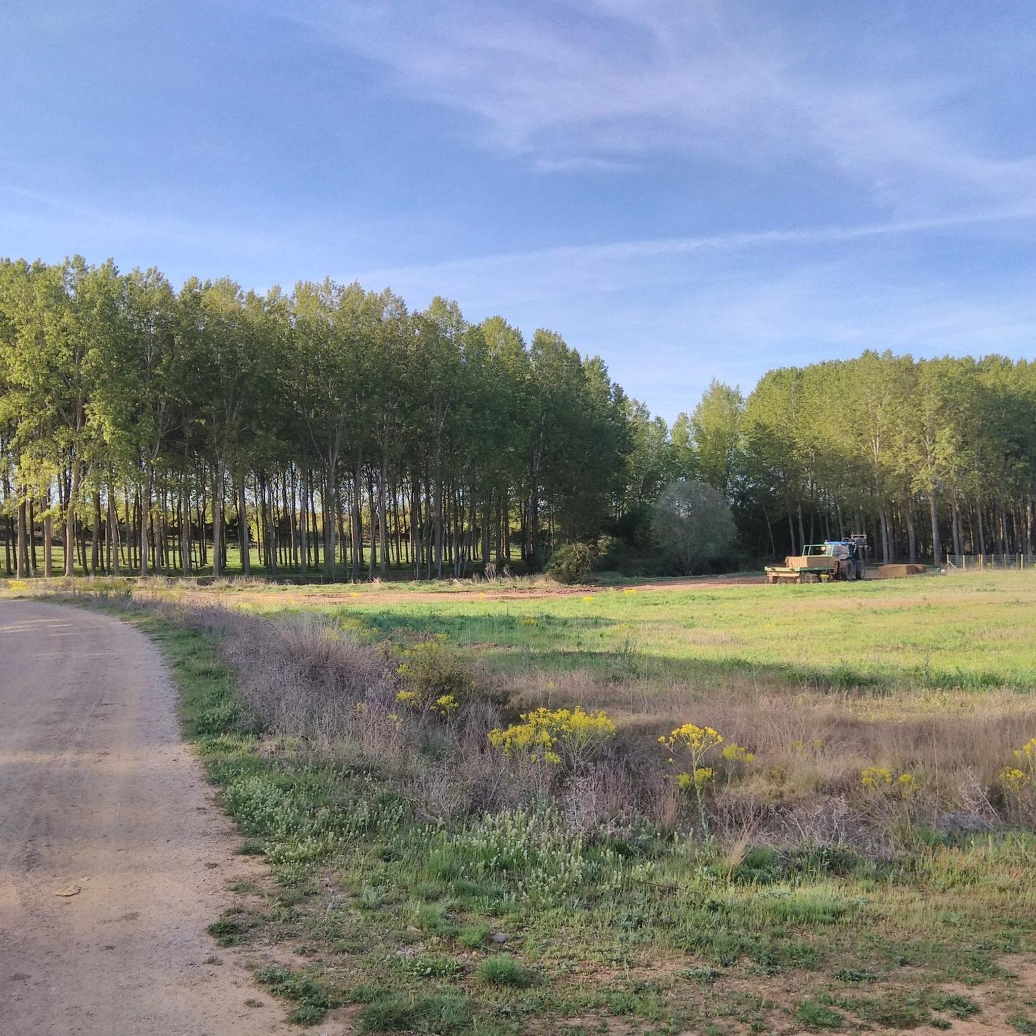
Hiking in Santas Martas primarily features rural paths connecting villages and offering views of agricultural land. The terrain is generally varied, with routes often following established tracks and rural roads, providing a mix of open views and more sheltered sections.
Are there any circular hiking routes in Santas Martas?
Yes, there are circular routes available. A popular moderate option is the Mansilla de las Mulas — circular by Camino Vadiniense, which is 13.0 km (8.1 miles) long and typically takes around 3 hours 17 minutes. Another longer, more challenging circular route is the Camino Francés: El Burgo Ranero and Calzada del Coto Loop.
What are some interesting places to see or landmarks near the hiking trails?
While hiking in Santas Martas, you can explore several points of interest. Notable landmarks include Puente de Villarente and the Esla River Bridge in Mansilla de las Mulas. You might also pass through settlements like El Burgo Ranero, and for a unique natural feature, there's the Reliegos Meteorite Impact Site.
What is the best time of year to go hiking in Santas Martas?
The region's climate generally allows for hiking across various seasons. However, spring and autumn often offer the most pleasant temperatures and vibrant scenery, making them ideal for exploring the rural paths and agricultural landscapes.
Are there any cafes or pubs near the hiking trails in Santas Martas?
Yes, some trails pass through or near villages where you can find local establishments. For example, Bar Elvis is a highlight near some routes, offering a place to rest and refuel.
What is the longest hiking trail available in Santas Martas?
The longest trail listed is the Camino Francés: El Burgo Ranero and Calzada del Coto Loop. This difficult route spans 28.7 km (17.9 miles) and typically takes about 7 hours 21 minutes to complete.
What should I wear for hiking in Santas Martas?
Given the varied terrain and rural paths, comfortable hiking shoes are essential. Layered clothing is advisable to adapt to changing weather conditions, especially during spring and autumn. Sun protection like a hat and sunscreen is also recommended for open sections of the trails.
What do other hikers enjoy most about the trails in Santas Martas?
The komoot community has rated the routes in Santas Martas with an average score of 2.0 stars. Hikers often appreciate the network of rural paths that connect villages and provide views of agricultural land, offering options for different ability levels.
Are there any trails suitable for birdwatching?
Yes, the region's rural and agricultural landscapes can be interesting for birdwatching. Specifically, the Birdwatching Station loop from Tierras de la autovía 8 is a moderate 15.8 km (9.8 miles) route designed with this activity in mind.
Most popular attractions around Santas Martas

Get inspired with the komoot mobile app


Explore more
Browse the best Hikes in other regions.
