The best walks and hikes around Hazas De Cesto
4.3
(1083)
6,534
hikers
214
hikes
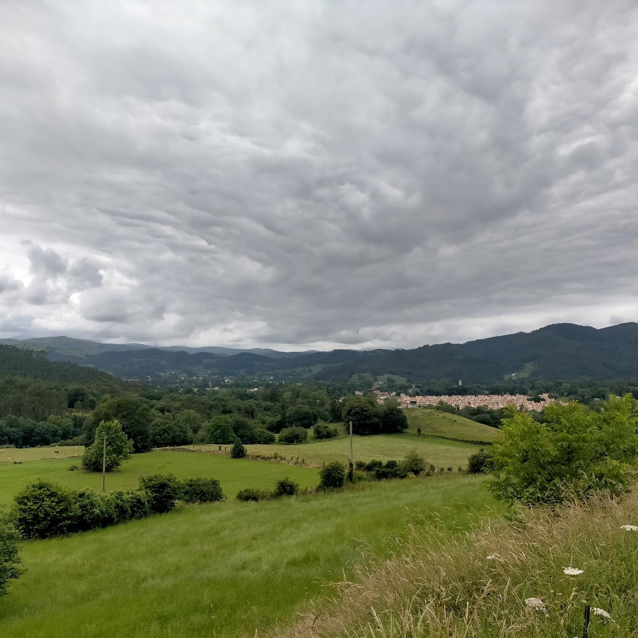
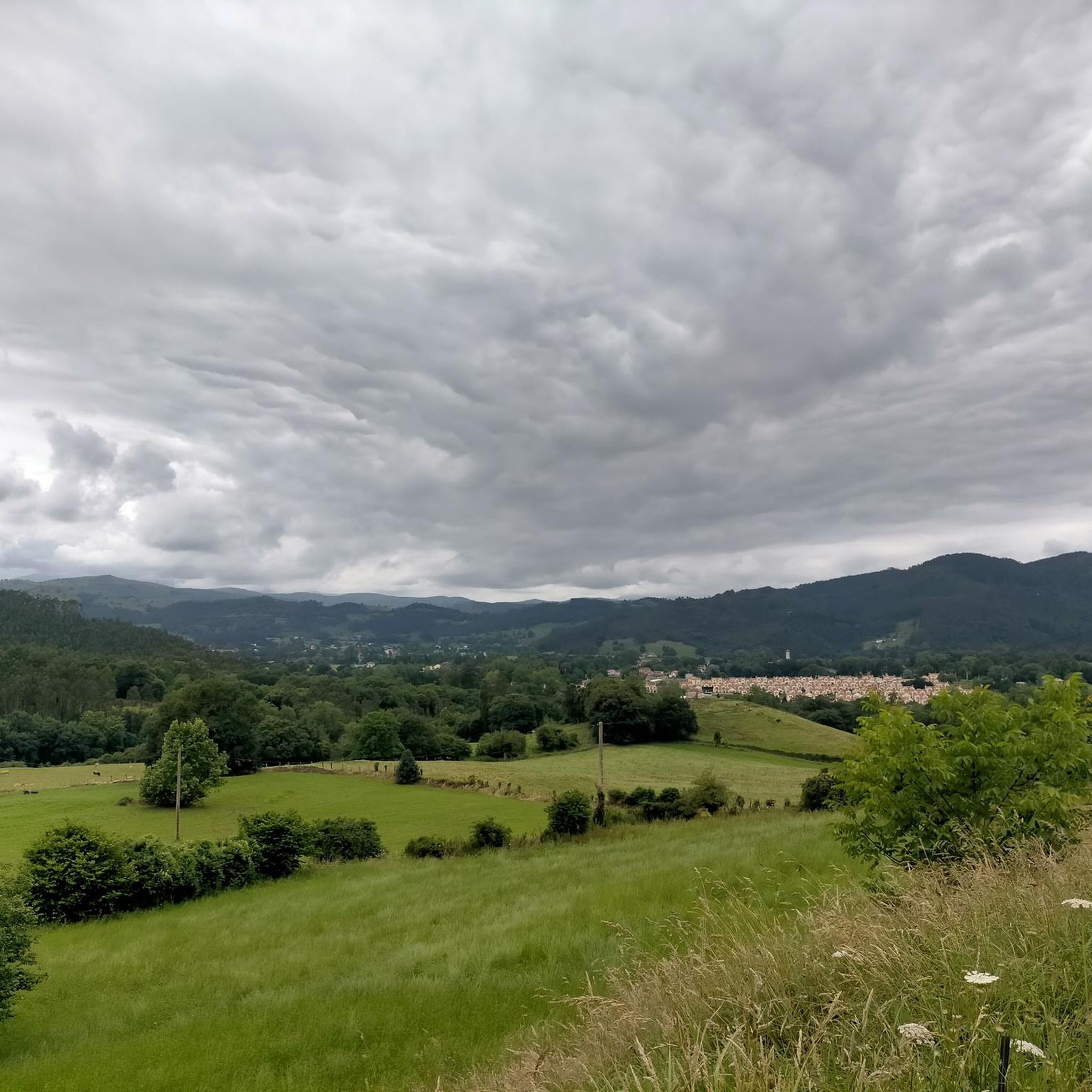
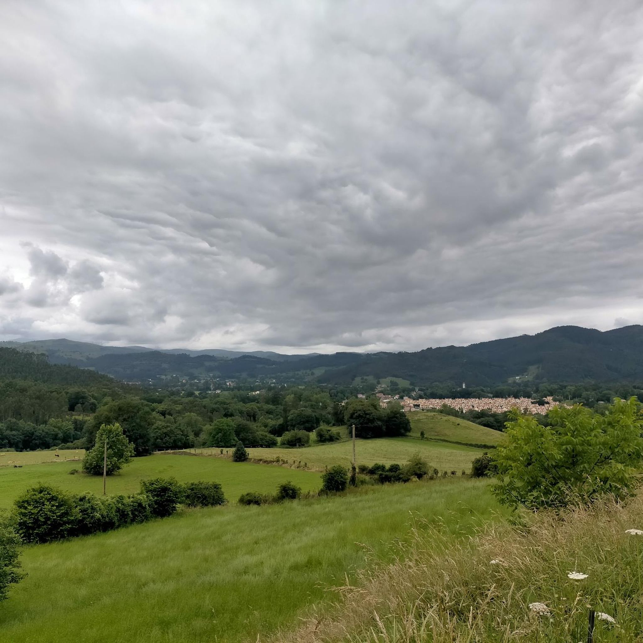
Hiking around Hazas De Cesto offers diverse natural landscapes in the Trasmiera region of eastern Cantabria, Spain. The area features a mix of gentle hills and more rugged terrain, with the River Campiazo flowing through, creating verdant riverine landscapes. To the west, the municipality includes various small elevations, reaching its highest point at Monte Llusa (377 m). This topographical variety provides a range of hiking experiences.
Best hiking trails around Hazas De Cesto
- The most popular hiking route is Parque…
Last updated: August 14, 2026
4.6
(12)
26
hikers
Hard hike. Very good fitness required. Easily-accessible paths. Suitable for all skill levels.
13
hikers
Hard hike. Very good fitness required. Easily-accessible paths. Suitable for all skill levels.

Sign up for free
3.4
(5)
6
hikers
6.69km
01:51
120m
120m
Easy hike. Great for any fitness level. Easily-accessible paths. Suitable for all skill levels.
8
hikers
Moderate hike. Good fitness required. Easily-accessible paths. Suitable for all skill levels.
3
hikers
Easy hike. Great for any fitness level. Easily-accessible paths. Suitable for all skill levels.
Get access to more routes and recommendations from other explorers.
Sign up for free
Already have an account?
Our route recommendations are based on thousands of hikes, rides, and runs completed by other people on komoot.
Start today with a free account
Your next adventure awaits.
Login or Signup
Tips from the Community

The official entrance to "Nojavidad".
1
0
If you're in the area, stop by.
1
0
On the way to the House of the Tides.
1
0

Helpful Volunteers and paid by your Donations - a Do Not Miss on the Camino del Norte!
0
0

Beautiful and, above all, heart-felt hostel run on a donation basis. They always serve dinner and breakfast (vegetarian options too).
0
0

These big place names are always a nice eye-catcher!
0
0
You come to a small town that is still full of life. There are cafes and if you're lucky, a festival
0
0
Frequently Asked Questions
How many hiking trails are available around Hazas De Cesto?
There are over 190 hiking trails around Hazas De Cesto, offering a wide range of experiences from easy riverside strolls to more challenging uphill climbs. The komoot community has highly rated these routes, with an average score of 4.4 stars from nearly 1000 reviews.
Are there easy hiking trails suitable for beginners in Hazas De Cesto?
Yes, Hazas De Cesto offers many easy trails perfect for beginners. For example, the Fountain of the Virgin loop from Solórzano is an easy 4.2-mile path that provides a peaceful walk through the countryside, typically completed in under two hours. There are nearly 100 easy routes in the area.
Are there any challenging hikes in the Hazas De Cesto area?
While many routes are easy to moderate, there are 8 difficult trails for those seeking a challenge. The western part of the municipality, with its uneven terrain and elevations like Monte Llusa (377 m), offers opportunities for more strenuous uphill climbs and rugged hiking experiences.
What kind of landscapes can I expect to see while hiking in Hazas De Cesto?
Hazas De Cesto boasts diverse landscapes, from verdant riverine areas along the River Campiazo to gentle hills and more rugged terrain, including small elevations like Monte Llusa. You'll find a mix of natural beauty, with streams, rolling hills, and views characteristic of eastern Cantabria.
Are there any circular walks available in Hazas De Cesto?
Yes, many routes in the area are circular, allowing you to start and end at the same point. A popular option is the Parque Natural de las Marismas de Santoña, Victoria y Joyel – circular by the Muelle de los Frailes, a moderate 4.7-mile trail exploring diverse ecosystems.
What are some notable natural attractions or landmarks to see along the trails?
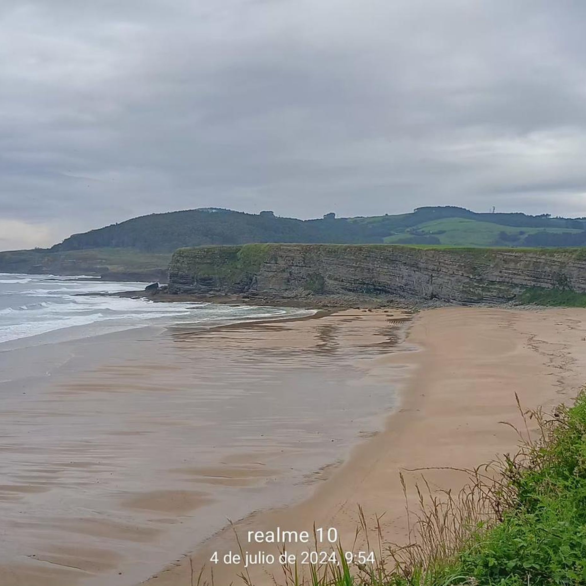
Beyond the trails themselves, you can explore several natural attractions. The La Ojerada Caves offer a unique geological feature, while the El Regatón Stream provides a scenic waterside experience. For coastal views, Cabo Galizano is a beautiful viewpoint nearby.
Are there any routes that pass through historical or cultural sites?
Yes, some routes connect to historical elements. The Sendero La Carrera, starting in Beranga, can be extended towards the Church of Santiago Apóstol in Praves, which is part of the Camino de Santiago, blending nature with historical pilgrimage.
What is the best time of year to go hiking in Hazas De Cesto?
Cantabria's climate generally allows for hiking throughout much of the year. Spring and autumn offer pleasant temperatures and vibrant scenery. Summer is also popular, though some trails might be warmer. Winter hikes are possible, especially on lower elevation routes, but always check local weather conditions.
Are there any half-day walks available in the area?
Many of the trails around Hazas De Cesto are ideal for half-day excursions. For instance, the Salvador Hedilla Monument – San Miguel de Meruelo loop from Meruelo is a 4.3-mile trail that takes approximately 1 hour 50 minutes, perfect for a morning or afternoon walk.
What is the general rating from other hikers for trails in Hazas De Cesto?
The hiking trails in Hazas De Cesto are highly regarded by the komoot community, holding an impressive average rating of 4.4 out of 5 stars from nearly 1000 reviews. Hikers frequently praise the diverse landscapes, well-maintained paths, and the peaceful atmosphere of the region.
Are there any routes that follow the River Campiazo?
Yes, the River Campiazo flows through Hazas De Cesto, creating verdant riverine landscapes. The Sendero del Campiezo is a short trail that runs parallel to the river from Beranga, offering a peaceful walk and eventually leading to the Beranga-Hazas pedestrian promenade.
Can I find trails that lead to viewpoints or summits?
The region includes various small elevations, with Monte Llusa reaching 377 meters. While not a high mountain, it offers elevated perspectives. Nearby, you can explore peaks like Brusco (Mijedo) or Pico Vizmaya, which provide rewarding views of the surrounding Cantabrian landscape.
Most popular attractions around Hazas De Cesto

Get inspired with the komoot mobile app


Explore more
Browse the best Hikes in other regions.
