The best walks and hikes around Bieszczadzki Park Narodowy
4.7
(2491)
37,686
hikers
100
hikes
Hiking around Bieszczadzki Park Narodowy offers diverse terrain, characterized by its unique "połoniny" – woodless, grass-covered ridges above the tree line. The park is predominantly covered by dense beech forests, providing habitat for diverse wildlife. It encompasses the highest parts of the Polish Bieszczady Mountains, including peaks like Tarnica at 1,346 meters. The landscape also features rivers and high peat bogs, contributing to its varied ecosystems.
Best hiking trails around Bieszczadzki Park Narodowy
- The most popular hiking route is Wołosate…
Last updated: October 10, 2026
4.9
(259)
3,559
hikers
Hard hike. Very good fitness required. Easily-accessible paths. Suitable for all skill levels.
4.9
(115)
1,633
hikers
18.7km
05:53
690m
690m
Hard hike. Very good fitness required. Easily-accessible paths. Suitable for all skill levels.

4.9
(52)
603
hikers
Hard hike. Very good fitness required. Easily-accessible paths. Suitable for all skill levels.
4.9
(45)
535
hikers
Moderate hike. Good fitness required. Easily-accessible paths. Suitable for all skill levels.
4.9
(29)
385
hikers
5.18km
01:53
330m
330m
Moderate hike. Good fitness required. Easily-accessible paths. Suitable for all skill levels.
Get access to more routes and recommendations from other explorers.
Already have an account?
Our route recommendations are based on thousands of hikes, rides, and runs completed by other people on komoot.
Start today with a free account
Your next adventure awaits.
Popular around Bieszczadzki Park Narodowy

Main Beskids Trail — the longest Polish Mountain Trail
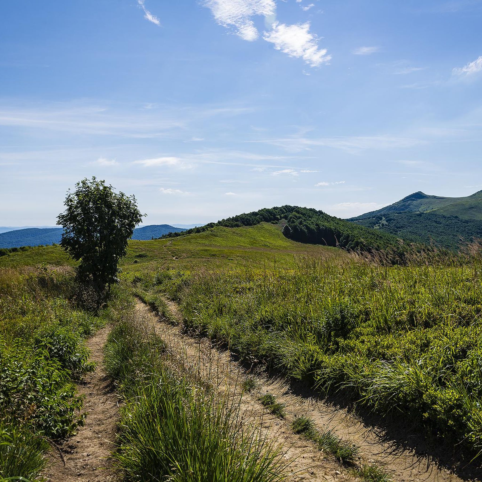
Running Trails around Bieszczadzki Park Narodowy

Mountain Hikes around Bieszczadzki Park Narodowy
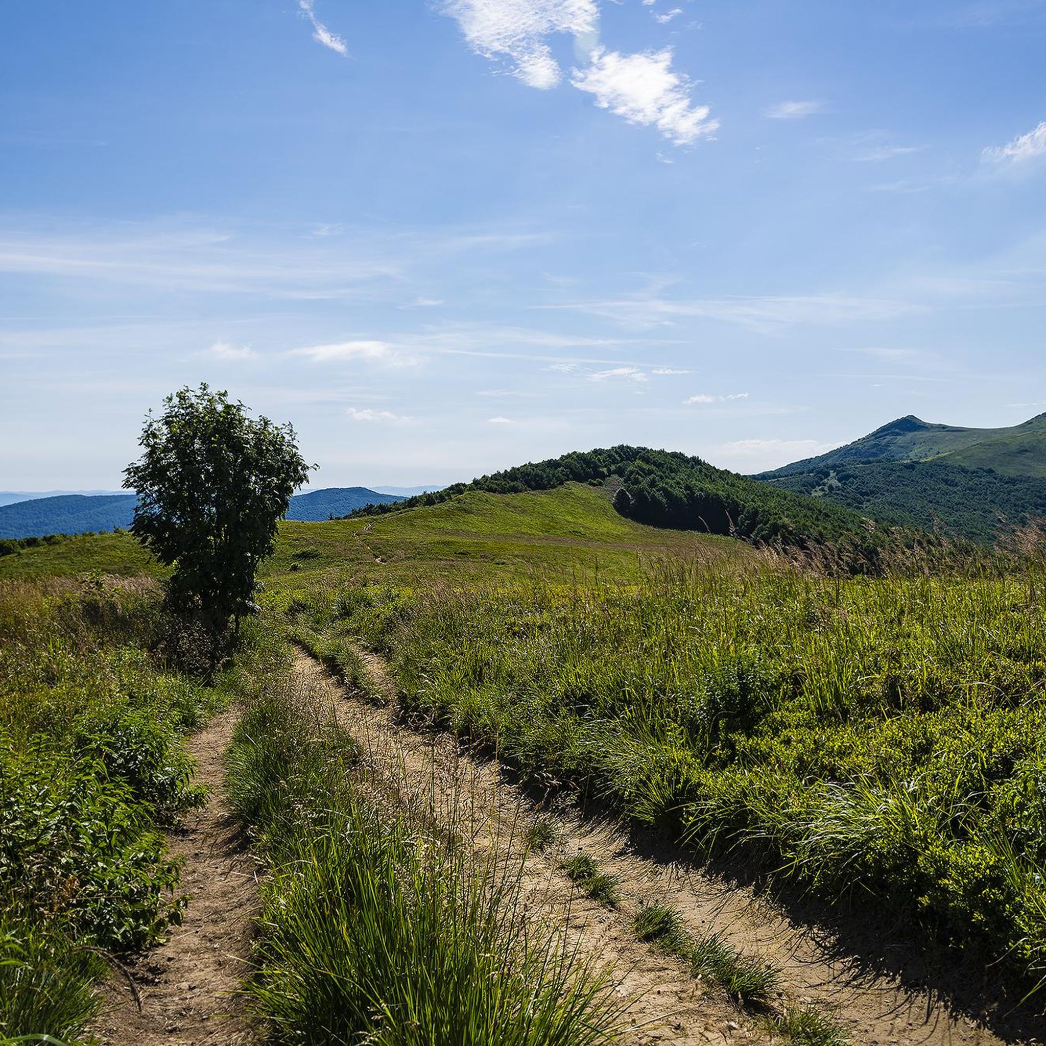
Cycling around Bieszczadzki Park Narodowy
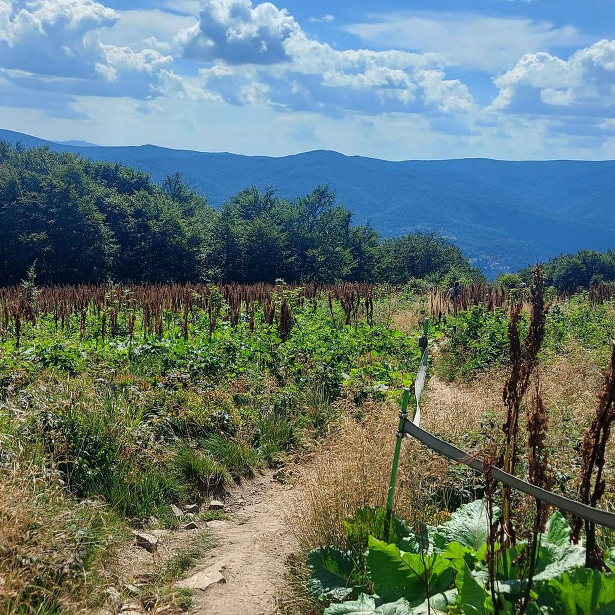
Road Cycling Routes around Bieszczadzki Park Narodowy
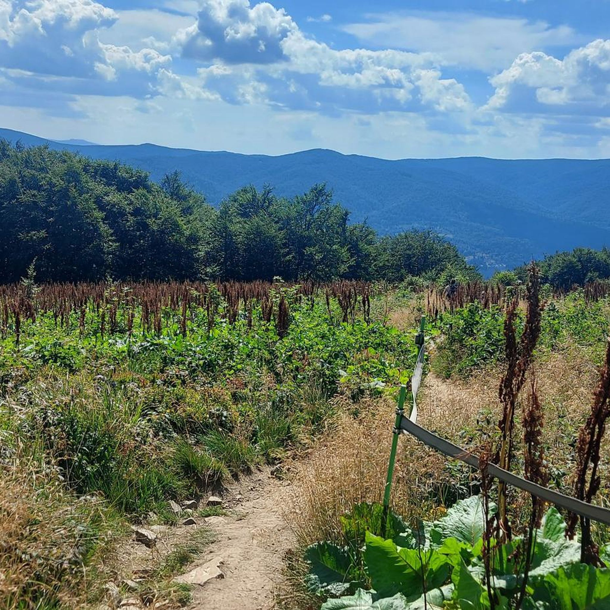
MTB Trails around Bieszczadzki Park Narodowy
Gravel biking around Bieszczadzki Park Narodowy
Other adventures around Bieszczadzki Park Narodowy

Tips from the Community


The most beautiful road towards Tarnica
0
0

So you've reached Kruhly Wierch, the highest point on Połonina Caryńska (1,297 m). What are those views? From here, you can see the Sanocko-Turczańskie Mountains, Połonina Wetlińska, and the massifs of Mała and Wielka Rawka. A beautiful sight. (There are benches too!)
1
0
A mountain pass at an elevation of 1,160 meters, between Tarnica and Halicz. It's high but flat, and most of it is covered with mountain pastures. The beautiful views are jaw-dropping.
1
0
Halicz, at 1,333 meters above sea level, is the third highest peak in the Polish Bieszczady Mountains. It lies between Kopa Bukowska and Rozsypaniec. The views will blow you away: from here you can see Połonina Bukowska, Połonina Równa, Starostyna, and in the distance, the peaks of Popadia and Wielka Sywula.
1
0
Bukowska Pass, on the Polish-Ukrainian border, is located in the Bieszczady Mountains, at an elevation of 1,107 meters. From here, many hike the trails to Halicz and Rozsypaniec. Magnificent, magical views of the Połonińskie Bieszczady Mountains, Połonina Równa, and, in good weather, the Slovak Tatras await. A beautiful place. Life is not to be missed.
1
0

Frequently Asked Questions
How many hiking trails are available in Bieszczadzki Park Narodowy?
Bieszczadzki Park Narodowy offers a wide network of over 100 hiking trails, catering to various fitness levels. You'll find approximately 19 easy routes, 52 moderate paths, and 29 challenging trails to explore the park's unique landscapes.
What are the unique natural features I can expect to see while hiking in Bieszczadzki Park Narodowy?
The park is renowned for its distinctive 'połoniny' – vast, grass-covered ridges above the tree line, offering panoramic views. Notable examples include Połonina Caryńska and Połonina Wetlińska. You'll also encounter dense beech forests, the highest peaks of the Polish Bieszczady like Tarnica, and natural reserves such as the Sine Wiry Reserve along the Wetlinka River, and the Torfowisko Wysokie Tarnawa Niżna peat bog.
Are there any circular hiking routes in Bieszczadzki Park Narodowy?
Yes, there are several circular routes. A popular option is the Wołosate Loop - Tarnica - Halicz - Rozsypaniec, a challenging 20.4 km trail. For a moderate experience, consider the Przełęcz Wyżna to Chatka Puchatka Loop, which is about 5.2 km long.
What do other hikers enjoy most about Bieszczadzki Park Narodowy?
The area is highly rated by the komoot community, with an average score of 4.8 stars from over 1,100 reviews. Hikers frequently praise the breathtaking panoramic views from the 'połoniny' and mountain peaks, the wild and pristine nature, and the chance to spot diverse wildlife.
Are there any mountain huts or shelters along the trails?
Yes, you can find mountain huts and shelters. For example, the Pooh Mountain Hut is a well-known spot, and there's also the Bacówka Under Mała Rawka. These provide opportunities for rest and refreshment during your hike.
Do I need to purchase tickets or permits to hike in Bieszczadzki Park Narodowy?
Yes, tickets are required for access to the hiking trails within Bieszczadzki Park Narodowy. You can typically purchase these at cash points located at trailheads or online. For detailed information on current regulations and purchasing options, it's advisable to check the official park website: bdpn.gov.pl.
What are some good options for family-friendly hikes?
While many trails are challenging, there are easier options suitable for families. The park offers 19 easy routes. For a moderate, shorter hike with rewarding views, the Przełęcz Wyżna to Chatka Puchatka Loop is a good choice, leading to a mountain hut with panoramic vistas.
What kind of wildlife can I expect to see in Bieszczadzki Park Narodowy?
Bieszczadzki Park Narodowy is a vital habitat for large mammals in Poland. You might encounter European bison, red deer, moose, and wild boars. The park is also home to significant populations of predators like bears, wolves, and lynx, which is the park's symbol. Observing wildlife requires patience and respect for their natural environment.
Are there any historical sites or cultural attractions near the hiking trails?
Beyond its natural beauty, the park and surrounding area hold historical significance. You can explore remnants of abandoned settlements and old wooden Greek Orthodox churches, which are part of the Podkarpackie Wooden Architecture Trail. These offer a glimpse into the region's rich cultural heritage.
What are some of the highest peaks accessible for hiking?
The park encompasses the highest parts of the Polish Bieszczady Mountains. Tarnica, at 1,346 meters (4,416 feet), is the highest peak and a very popular hiking destination. Other significant peaks include Halicz (1,333 meters) and Wielka Rawka, all offering expansive views of the surrounding mountains and 'połoniny'.
Can I find places to rest or viewpoints along the trails?
Yes, many trails feature designated resting spots and viewpoints. For instance, the Shelter with benches for resting is available, and there's also a Shelter on the Yellow Trail between Wetlina and Orłowicz Pass. The 'połoniny' themselves, like Połonina Caryńska and Połonina Wetlińska, serve as natural viewpoints with breathtaking vistas.
Most popular routes around Bieszczadzki Park Narodowy
Most popular attractions around Bieszczadzki Park Narodowy

Get inspired with the komoot mobile app


Explore more
Browse the best Hikes in other regions.
