The best mountain hikes around Park Krajobrazowy Góry Opawskie
4.7
(7)
47
hikers
6
hikes
Mountaineering around Park Krajobrazowy Góry Opawskie encompasses the northern slopes and foothills of the Opawskie Mountains in southwestern Poland. The region is characterized by diverse forests, nature reserves, and picturesque rock formations, with Biskupia Kopa (890 m) as the highest peak. Trails often involve significant elevation changes, with some ascents and descents exceeding 900 meters. A dense river network contributes to the varied natural beauty of the park.
Best mountaineering routes around Park Krajobrazowy Góry Opawskie
- The most popular mountaineering…
Last updated: July 1, 2026
4.0
(4)
19
hikers
Moderate mountaineering route. Good fitness required. Easily-accessible paths. Suitable for all skill levels.
5.0
(2)
8
hikers
Moderate mountaineering route. Good fitness required. Easily-accessible paths. Suitable for all skill levels.

Sign up for free
2
hikers
Moderate mountaineering route. Good fitness required. Mostly accessible paths. Sure-footedness required.
12
hikers
3.36km
01:06
160m
160m
Easy mountaineering route. Great for any fitness level. Easily-accessible paths. Suitable for all skill levels.
5.0
(1)
4
hikers
Easy mountaineering route. Great for any fitness level. Easily-accessible paths. Suitable for all skill levels.
Our route recommendations are based on thousands of hikes, rides, and runs completed by other people on komoot.
Start today with a free account
Your next adventure awaits.
Login or Signup
Popular around Park Krajobrazowy Góry Opawskie
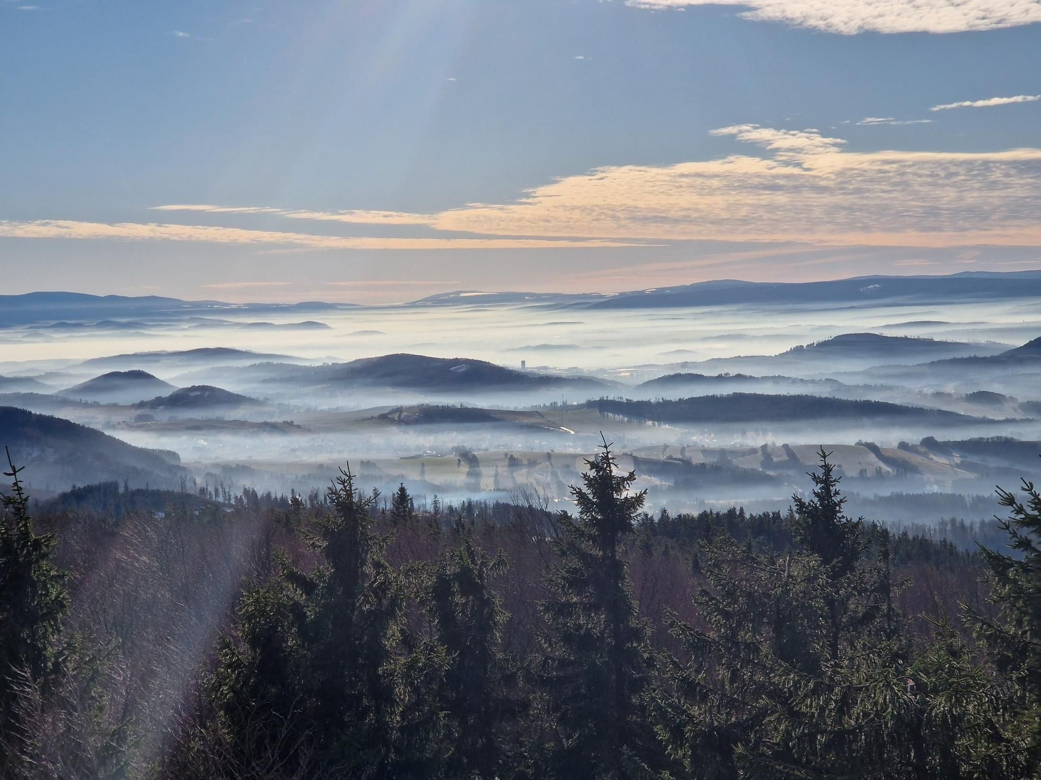
The Main Sudeten Route – a great Polish mountain adventure
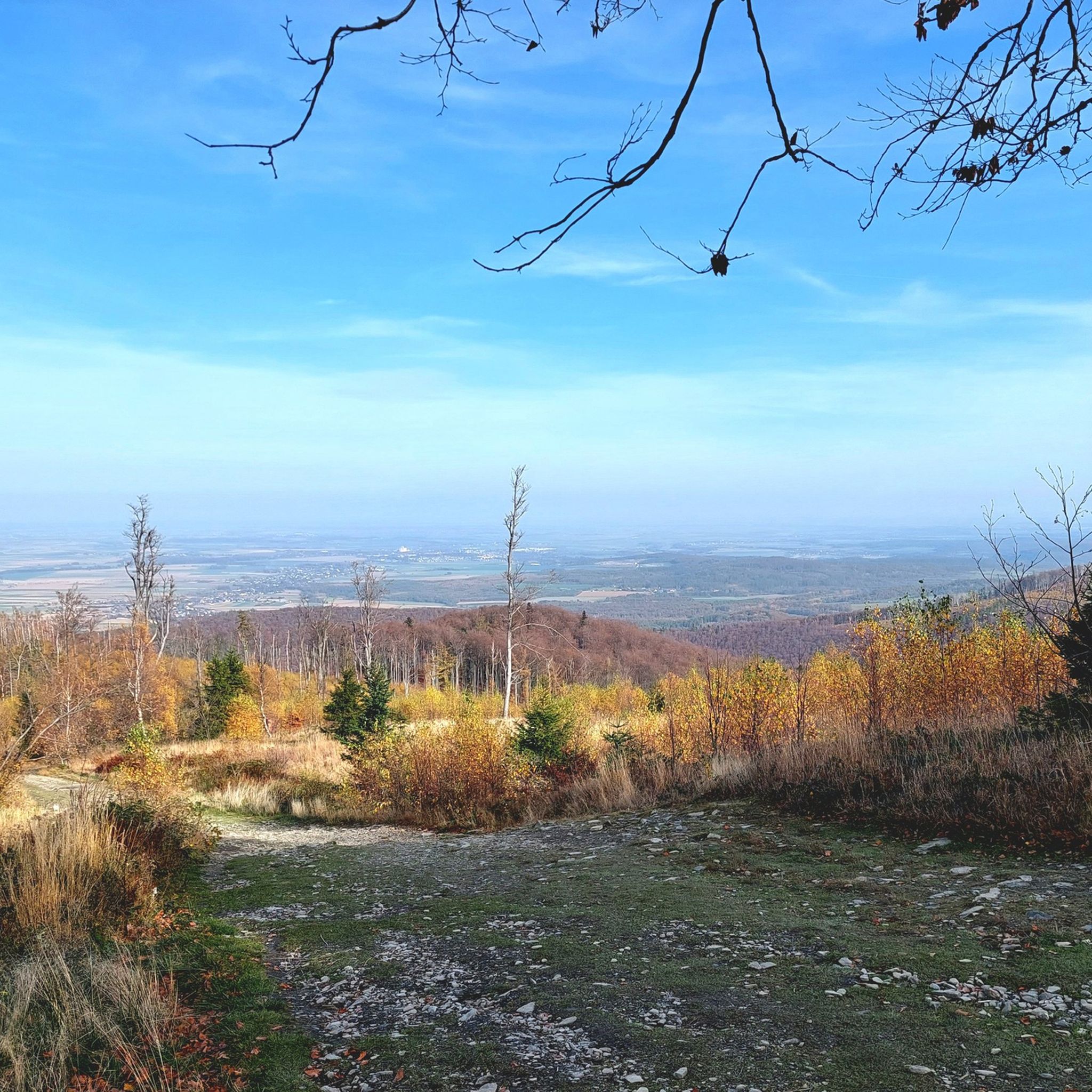
Hiking around Park Krajobrazowy Góry Opawskie
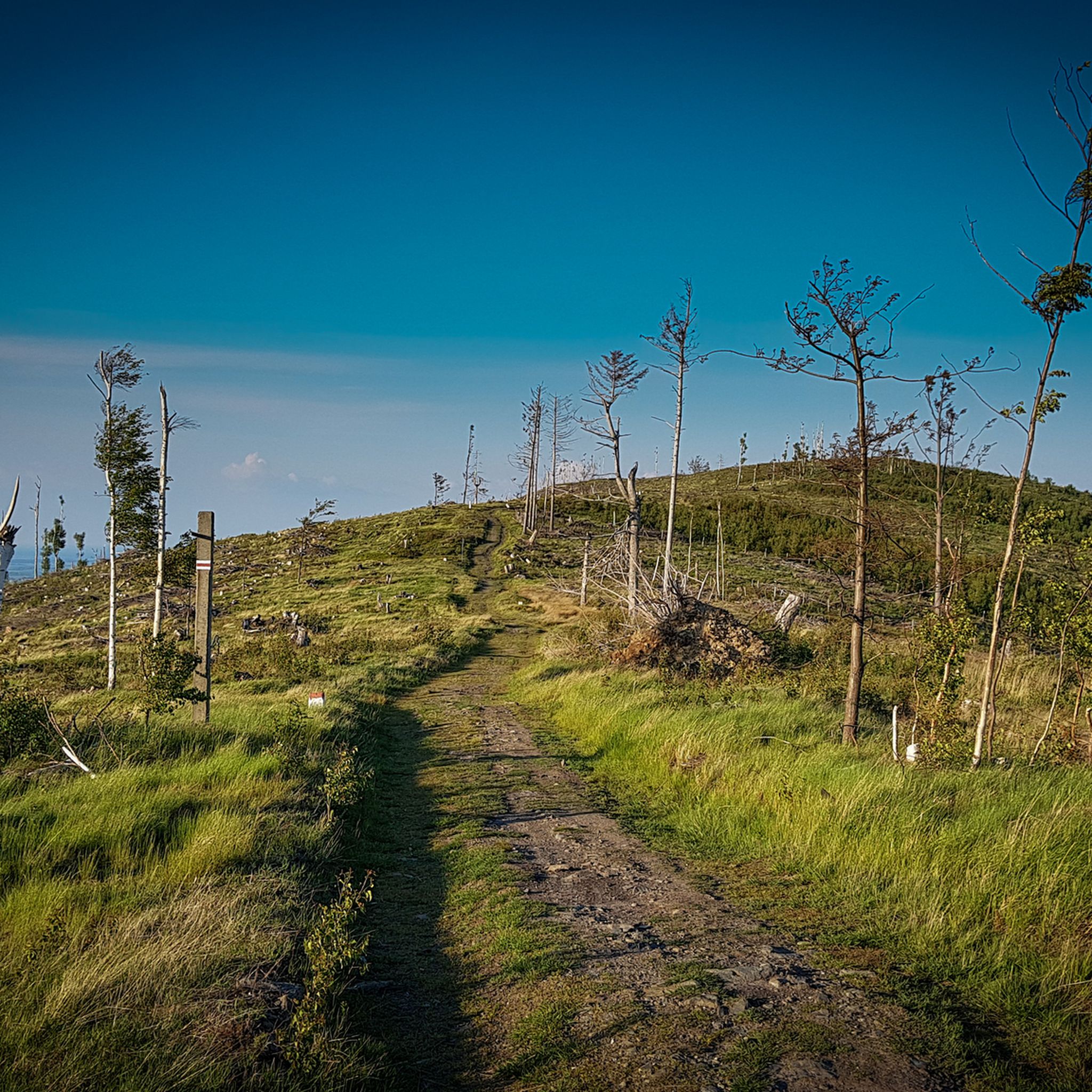
MTB Trails around Park Krajobrazowy Góry Opawskie
Road Cycling Routes around Park Krajobrazowy Góry Opawskie
Running Trails around Park Krajobrazowy Góry Opawskie
Cycling around Park Krajobrazowy Góry Opawskie
Gravel biking around Park Krajobrazowy Góry Opawskie
Other adventures around Park Krajobrazowy Góry Opawskie

Tips from the Community

good also for cycling crossroads for several routes
0
0

A beautiful PTTK mountain shelter at an altitude of 850 meters above sea level, near the summit of Biskupia Kopa (hence its name, of course). The shelter was built here in 1923, but was later rebuilt. Everything is here: meals, accommodations (50 beds), a restaurant, and even the possibility of organizing discos (probably not for you today, right?). https://biskupiakopa.pl/
1
0


Polish-Czech border. A reconciliation cross on site
0
0
closed in winter. Honestly, the building behind the kiosk, which has been under construction for many years, is a real eyesore...
0
0
A nice, scenic section of the trail
0
0
A beautiful, short section of Gwarkowa Perć. It is really worth going to BIskupia Kope
0
0
the shelter under BIskupia Kopa. It's worth dropping in for a moment.
0
0
Frequently Asked Questions
How many mountaineering routes are available in Park Krajobrazowy Góry Opawskie?
There are 8 mountaineering routes available in Park Krajobrazowy Góry Opawskie, offering a range of experiences for different skill levels. You'll find 2 easy routes and 6 moderate routes to explore.
Are there any particularly challenging mountaineering routes in the Opawskie Mountains?
Yes, for those seeking a more demanding experience, the region offers trails with significant elevation changes and varied terrain. The Gwarkowa Trail – Emperor Franz Josef Observation Tower loop is particularly noteworthy for its challenging character, featuring a unique section with a ladder, providing an exciting experience for hikers looking for more than just a stroll. While none are classified as 'difficult' in our current selection, many routes require good fitness and sure-footedness.
What are some notable landmarks or viewpoints along the mountaineering routes?
The Opawskie Mountains are rich in natural and historical landmarks. A central attraction is the historic 18-meter-high Emperor Franz Josef Observation Tower on Biskupia Kopa, offering expansive panoramic views. You can also find other viewpoints like The observation tower on the Front Kopa, and natural features such as Żabie Oczko Pond and Juvenia Spring.
Are there any circular mountaineering routes in the park?
Yes, many of the routes in Park Krajobrazowy Góry Opawskie are designed as loops, allowing you to start and end at the same point. For example, the Mountaineering loop from Park Krajobrazowy Góry Opawskie is a moderate 4.0-mile (6.4 km) trail, and the Gwarkowa Perć loop from Park Krajobrazowy Góry Opawskie is a 5.8-mile (9.4 km) option.
What is the best time of year for mountaineering in Park Krajobrazowy Góry Opawskie?
The Opawskie Mountains are beautiful year-round, but the best time for mountaineering is typically from spring to autumn (May to October) when the weather is milder and trails are clear of snow and ice. During these months, you'll experience the full beauty of the diverse forests and enjoy clearer panoramic views from the peaks. Winter mountaineering is possible but requires appropriate gear and experience due to snow and potentially icy conditions.
Are there any easy mountaineering routes suitable for beginners or families?
Yes, there are easier options available. For instance, the Emperor Franz Josef Observation Tower loop from Petrovice is an easy 2.1-mile (3.3 km) route, and the Emperor Franz Josef Observation Tower – View from Biskupia Kopa loop from Petrovice is another easy 3.3-mile (5.4 km) option, both offering rewarding views without extreme difficulty.
What do other mountaineers say about the routes in Park Krajobrazowy Góry Opawskie?
The routes in Park Krajobrazowy Góry Opawskie are highly rated by the komoot community, with an average score of 4.5 stars from over 8 reviews. Mountaineers often praise the varied terrain, the rewarding panoramic views from peaks like Biskupia Kopa, and the well-maintained trail network that offers options for different ability levels.
How long do mountaineering routes in Góry Opawskie typically take to complete?
The duration of routes varies depending on their length and difficulty. For example, the moderate Mountaineering loop from Park Krajobrazowy Góry Opawskie typically takes about 2 hours 29 minutes, while the longer Gwarkowa Trail – Emperor Franz Josef Observation Tower loop can take around 4 hours 22 minutes. Easy routes, like the Emperor Franz Josef Observation Tower loop from Petrovice, can be completed in just over an hour.
Are there any historical or geological points of interest in the park?
Beyond the physical challenge, the park offers cultural and historical intrigue. The region has remnants of medieval gold mining, and you can find distinctive rock formations throughout. The Tomb of the Witch is one such historical site you might encounter.
What kind of terrain can I expect on the mountaineering trails?
The terrain in Park Krajobrazowy Góry Opawskie is diverse, characterized by dense forests, nature reserves, and picturesque rock formations. While the peaks are not exceptionally high, trails frequently involve significant elevation changes, with some ascents and descents exceeding 900 meters. You can expect a mix of forest paths, rocky sections, and open viewpoints.
Most popular routes around Park Krajobrazowy Góry Opawskie
Most popular attractions around Park Krajobrazowy Góry Opawskie

Get inspired with the komoot mobile app


Explore more
Browse the best Mountain Hikes & Routes in other regions.
