The best walks and hikes around Calzada Del Coto
4.3
(46)
341
hikers
20
hikes
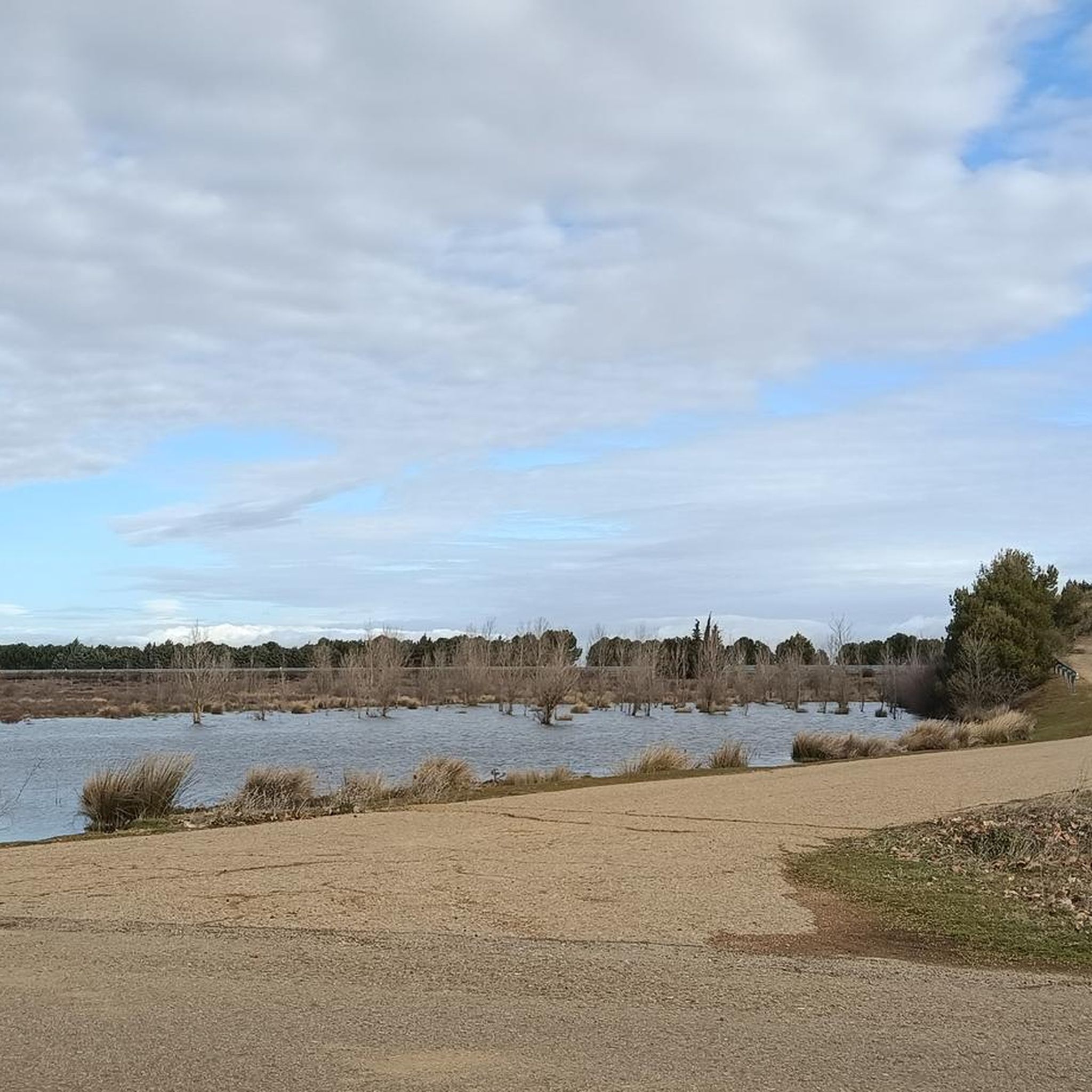
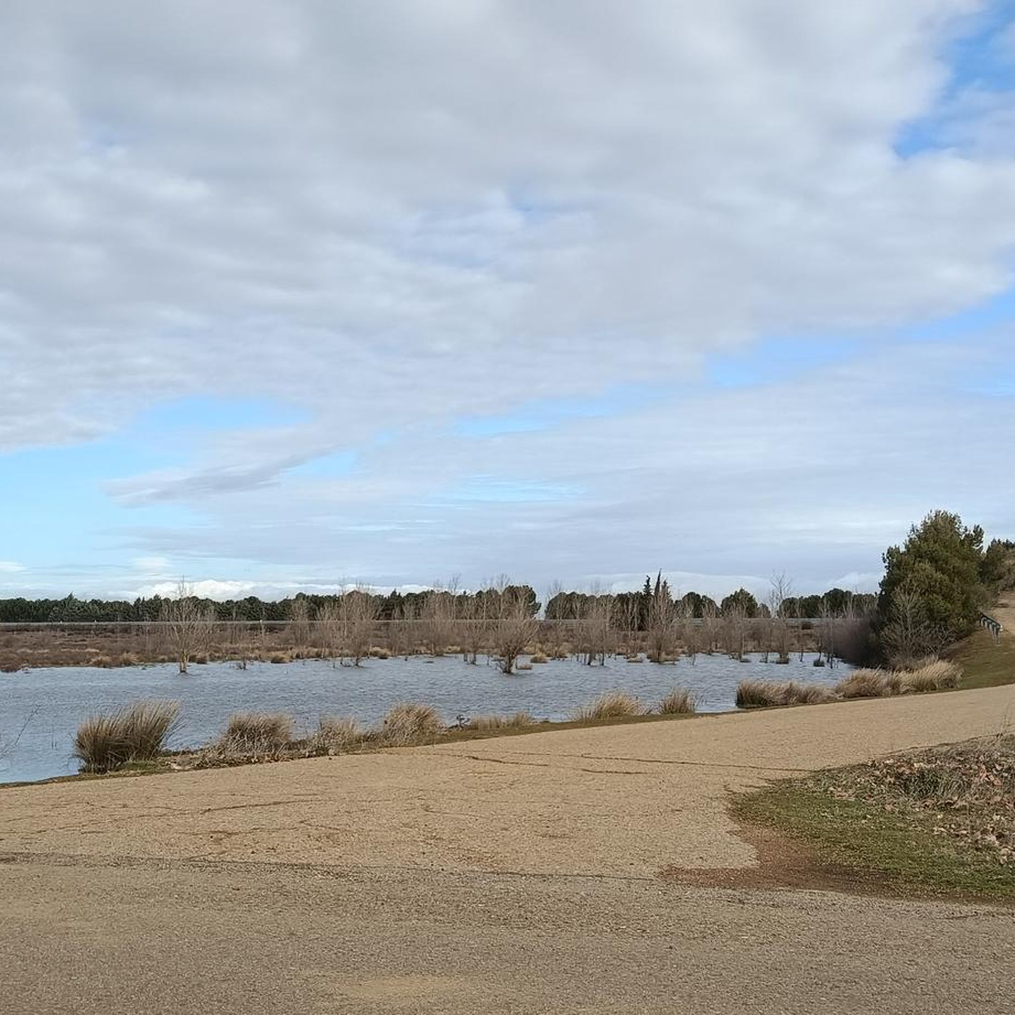
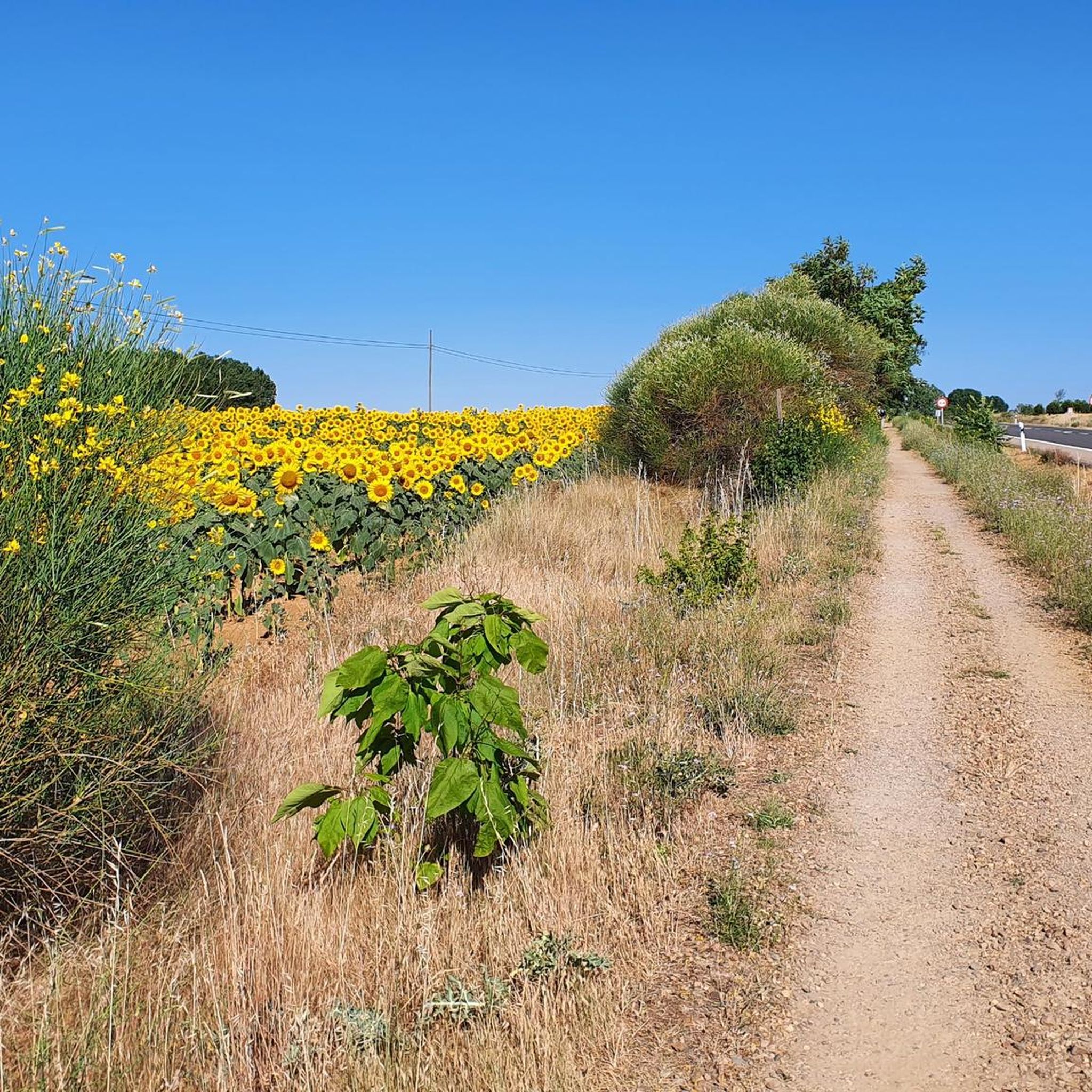
Hiking around Calzada Del Coto offers trails across the Duero plateau, within the Páramo Leonés, characterized by a gentle relief. The terrain features a blend of cultivated fields and low forests, primarily oak and pyrenean oak trees. The distant Cantabrian Mountains form a backdrop to the north, and the Cea River is located near the village. This region is a key section of the French Way of the Camino de Santiago, providing both traditional and alternative pilgrimage routes.
Best hiking…
Last updated: July 4, 2026
5.0
(1)
1
hikers
17.0km
04:24
100m
100m
Moderate hike. Good fitness required. Easily-accessible paths. Suitable for all skill levels.
1
hikers
9.93km
02:35
60m
60m
Moderate hike. Good fitness required. Easily-accessible paths. Suitable for all skill levels.

Sign up for free
1
hikers
12.6km
03:16
70m
70m
Moderate hike. Good fitness required. Easily-accessible paths. Suitable for all skill levels.
5.0
(1)
1
hikers
Moderate hike. Good fitness required. Easily-accessible paths. Suitable for all skill levels.
16.0km
04:08
80m
80m
Moderate hike. Good fitness required. Easily-accessible paths. Suitable for all skill levels.
Get access to more routes and recommendations from other explorers.
Sign up for free
Already have an account?
Our route recommendations are based on thousands of hikes, rides, and runs completed by other people on komoot.
Start today with a free account
Your next adventure awaits.
Login or Signup

Tips from the Community

“From gentle rural tracks, you reach this imposing 16th-century artillery fortress. It has a square layout with towers and sloping walls; it preserves loopholes, spiral staircases, and a complete structure. A perfect stop with cultural interest and beautiful panoramic views of Tierra de Campos.” Add this stop to short circular routes (~30 km). Comfortable terrain, good terrain for riding, and stress-free. It fits perfectly with the other stops: Lancia, Torre Almanza, and Ermita Virgen de la Guía.
0
0

The Hermitage of the Virgin of the Bridge is a historic gem located about three kilometers east of Sahagún, in the province of León. Built in the 13th century, the hermitage is an example of the Mudejar style, characterized by its blend of Christian and Islamic elements. It's a place steeped in history and tradition, perfect for a visit if you're in the area.
7
0

The Arco de San Benito is an impressive monument in Sahagún, located in the region of Castilla y León, Spain. It was built around 1662 by the architect Felipe Berrojo to replace the old Romanesque portal of the Monasterio de San Benito. The arch is designed as a triumphal arch, under which the N-120 passes, and is also known as "la puerta de Sahagún" (the gate of Sahagún). The monument is richly decorated with a central shield, inscriptions and sculptures of Saints Facundo and Primitivo. At the top is the royal shield, and there are also sculptures of Alfonso III and Alfonso VI, who were important protectors of the monastery.
8
0
The Ermita de La Virgen del Puente is a 13th-century Mudéjar hermitage located about three kilometres east of Sahagún, on the Camino Francés of the Camino de Santiago. The building stands next to a bridge over the Valderaduey River, hence its name. It has a single nave and a small choir with a semicircular apse, cipher arcades and corner friezes. It was once a hospital for pilgrims and lepers and is now used for the annual San Marcos festival with the famous Tantáriga dance.
3
0
The Arch" author Manuel García Juan. This mural shows two unmistakable symbols of Sahagún, a pilgrim, who represents those who cross the streets throughout the year, and the Arch of San Benito, the entrance door to the Monastery of San Benito that remains open as a symbol of invitation. Year 2020
3
1
Sahagún is a charming town and municipality in the province of León, in the autonomous community of Castile and León, and is an important point on the Santiago de Compostela pilgrimage route. Sahagún is known for its rich history and beautiful architecture, including some of the earliest examples of the Mudejar style. The town also has a number of medieval churches from the 12th and 13th centuries. One of the most notable historical events is the Battle of Sahagún in 1808, where the British light cavalry won a victory over the French troops. The town is also famous for its former Benedictine monastery, which played an important role in the Santiago de Compostela pilgrimages. Although the monastery was dissolved and largely demolished in the 19th century, it remains an important part of Sahagún's history.
3
1
"El Arco, un peregrino y el Arco de San Benito.": Tribute to the pilgrim and the Arch of San Benito that shines in a mural of 150 square meters in the area of the Arch of San Benito.
3
1

The painting shows a pilgrim walking through the city gate of Sahagun.
3
1
Frequently Asked Questions
How many hiking trails are available around Calzada Del Coto?
There are 19 hiking routes available around Calzada Del Coto, offering a diverse range of experiences. These include 4 easy routes, 12 moderate routes, and 3 more challenging trails.
What is the typical terrain like for hiking in this region?
The terrain around Calzada Del Coto is primarily characterized by the gentle relief of the Duero plateau, part of the Páramo Leonés. You'll find a blend of cultivated fields and low forests, mainly composed of oak and pyrenean oak trees. The distant Cantabrian Mountains provide a picturesque backdrop to the north, and the Cea River flows nearby, influencing some routes.
What makes the hiking experience in Calzada Del Coto unique?
Calzada Del Coto's unique hiking experience stems from its integral role in the Camino de Santiago. Hikers can choose between the traditional Camino Real or the quieter, more rural Vía Trajana, an ancient Roman road. This offers a blend of historical pilgrimage, flat agricultural plains, and patches of native forests, all within a region known for its solitude and ancient pathways.
Are there any circular hiking routes available?
Yes, there are several circular routes to enjoy. For example, you can explore Grajal de Campos from Sahagún – circular by the río Cea, a 17 km moderate trail, or the Camino Francés: Sahagún Loop, a 9.9 km moderate path. Another option is Sahelices del Río from Cea – circular by the river Cea and the Castillo, which is 12.7 km long.
What are the main Camino de Santiago routes passing through Calzada Del Coto?
After passing through Sahagún, pilgrims reaching Calzada Del Coto have two significant choices: the traditional Camino Real, which continues straight along a paved pilgrim path, and the Vía Trajana (Roman Road), a more rural and quieter alternative that follows an ancient Roman road. The Vía Trajana is known for its solitude and immersion in an ancient pathway.
Is the Vía Trajana a good alternative to the main Camino Francés?
The Vía Trajana is an excellent alternative for those seeking a quieter, more rural experience. It diverges from the Camino Real and follows an ancient Roman road, offering solitude and a deep immersion in history. It's approximately 32.9 km long to Mansilla de las Mulas and is described as a 'remarkable' difficulty level 2 stage, requiring good physical preparation due to its distance.
What is the best time of year to go hiking in Calzada Del Coto?
The climate in Calzada Del Coto features harsh, dry winters and hot summers with scarce rainfall. Therefore, the best time for hiking is typically during the spring (April-May) and autumn (September-October) when temperatures are milder and the weather is more pleasant. Summers can be very hot, and water sources may dry up.
Are the hiking trails around Calzada Del Coto suitable for families?
Yes, with 4 easy routes available, there are options suitable for families. The generally flat terrain of the Páramo Leonés makes many sections accessible. Always check the specific route details for distance and elevation to ensure it matches your family's capabilities.
Can I bring my dog on the trails?
While many parts of the Camino de Santiago and local trails are generally dog-friendly, it's always recommended to keep your dog on a leash, especially in agricultural areas or near wildlife. Ensure you carry enough water for both yourself and your dog, particularly during warmer months, as water sources can be scarce.
What can I see along the hiking trails or nearby?
Hikers can discover several historical and cultural attractions. In Calzada Del Coto itself, you can visit the 17th-century San Esteban Church and the simple Hermitage of San Roque. Nearby, significant sites include the Geographical Center of the Camino Francés – Ermita de la Virgen del Puente, and in Sahagún, the impressive San Benito Arch and Ruins of the Monastery of San Benito.
What do other hikers enjoy the most about hiking in Calzada Del Coto?
The area is highly rated by the komoot community, with an average score of 4.3 stars from over 10 reviews. Hikers often praise the quiet solitude of the Vía Trajana, the historical significance of the Camino routes, and the serene landscapes of cultivated fields and low forests. The opportunity to experience a less-traveled part of the Camino is frequently highlighted.
Are there any routes that follow the Cea River?
Yes, the Cea River is a notable feature in the region, and some routes incorporate it. For instance, the Grajal de Campos from Sahagún – circular by the río Cea is a popular 17 km trail that follows the river, offering pleasant riverine scenery.
Most popular attractions around Calzada Del Coto

Get inspired with the komoot mobile app


Explore more
Browse the best Hikes in other regions.
