The best cycling routes around Monterrubio
5.0
(2)
30
riders
9
rides
Touring cycling routes around Monterrubio de la Sierra, Spain, traverse a landscape characterized by "Campo Charro," featuring expansive cereal fields and dehesas, which are wooded pastures. The region offers mostly well-paved surfaces, with some routes including unpaved or more challenging segments. Vast meadows and open terrain define much of the cycling environment, providing varied backdrops for rides.
Best touring cycling routes around Monterrubio
- The most popular touring cycling route is Río Moros Cliff – The Lovers' Bridge loop from Marugan, a 31.9 miles (51.4 km) trail that takes 4 hours 22 minutes to complete. This difficult route features significant elevation gain through varied terrain.
- Another top favourite among local touring cyclists is Laguna Rodrigo loop from Muñopedro, a moderate 30.4 miles (49.0 km) path. This route offers a scenic journey through the open landscapes and dehesas typical of the Campo Charro.
- Local touring cyclists also love the Río Moros Cliff – The Lovers' Bridge loop from Monterrubio, a 20.3 miles (32.7 km) trail leading through wooded pastures and open fields, often completed in about 2 hours 54 minutes.
- Touring cycling around Monterrubio is defined by expansive cereal fields, dehesas, and vast meadows. The network offers options for different ability levels, from mostly flat, well-paved roads to routes with more challenging unpaved segments.
- The routes in Monterrubio are highly rated by the komoot community with an average score of 5.0 stars from over 2 reviews. More than 25 touring cyclists have used komoot to explore Monterrubio's varied terrain.
Last updated: July 1, 2026
5
riders
49.0km
02:56
380m
380m
Moderate bike ride. Good fitness required. Mostly paved surfaces. Suitable for all skill levels.
5.0
(1)
3
riders
22.6km
01:46
340m
340m
Moderate bike ride. Good fitness required. Mostly paved surfaces. Suitable for all skill levels.

Sign up for free
3
riders
51.4km
04:22
620m
620m
Hard bike ride. Very good fitness required. You may need to push your bike for some segments of this route.
4
riders
47.8km
04:05
480m
480m
Hard bike ride. Very good fitness required. Mostly paved surfaces. Suitable for all skill levels.
2
riders
41.5km
02:30
320m
320m
Moderate bike ride. Good fitness required. Mostly paved surfaces. Suitable for all skill levels.
Get access to more routes and recommendations from other explorers.
Sign up for free
Already have an account?
Our route recommendations are based on thousands of hikes, rides, and runs completed by other people on komoot.
Start today with a free account
Your next adventure awaits.
Login or Signup
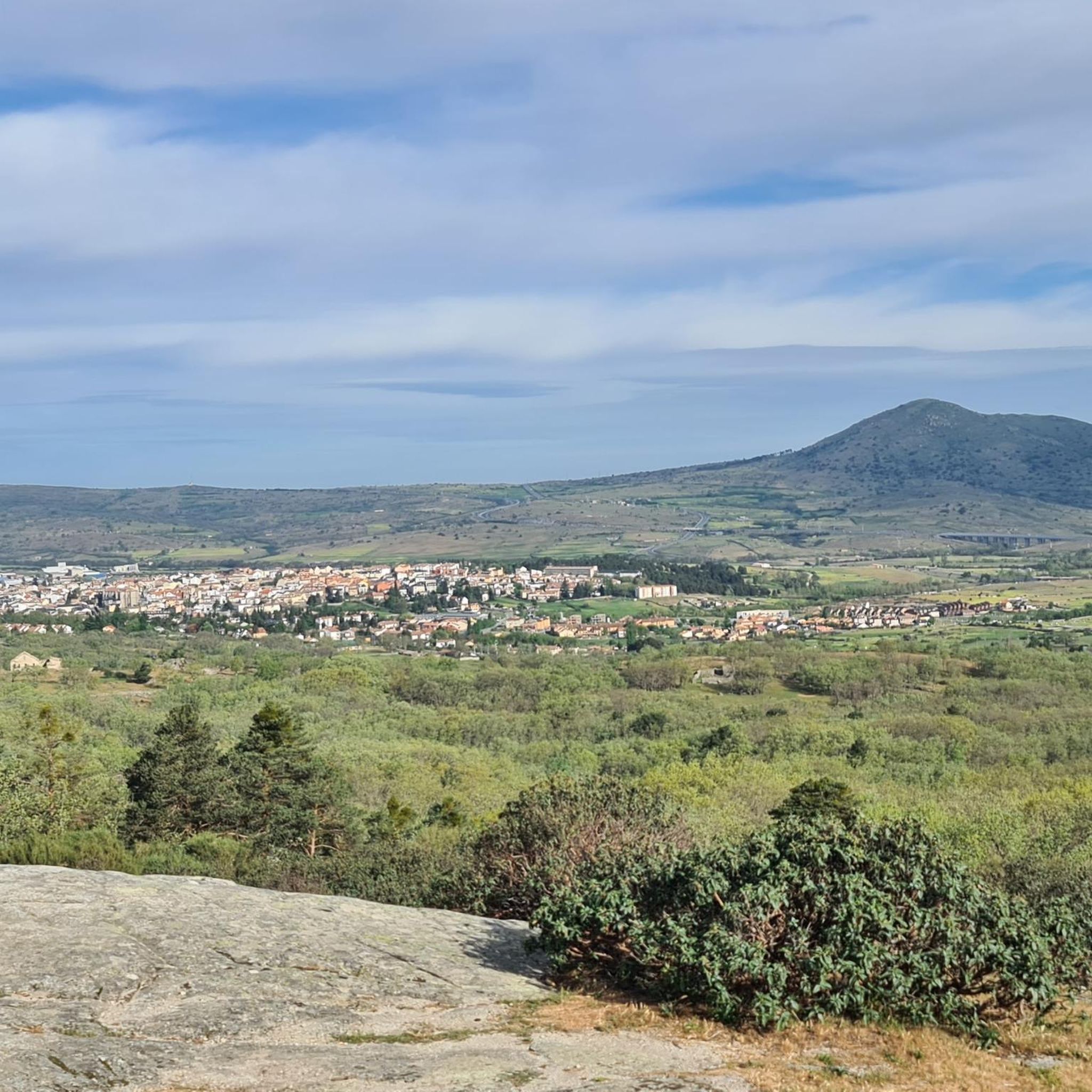
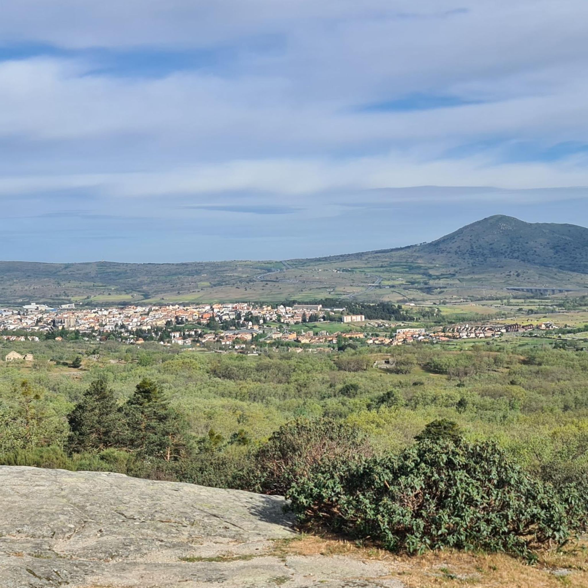
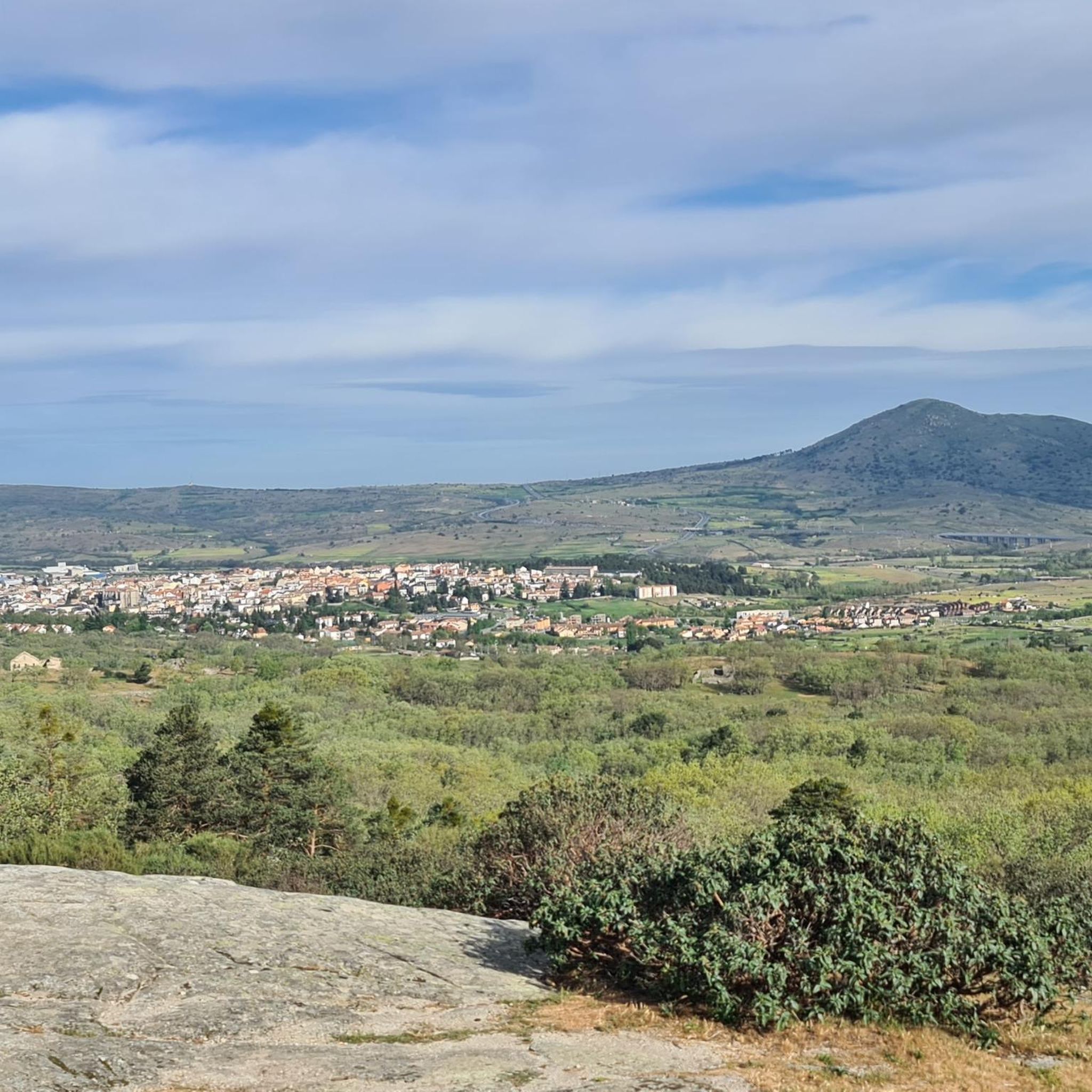

Tips from the Community

The bridge located in Moñibas (Segovia) is a small stone bridge, very characteristic of traditional Castilian rural architecture.
4
0


It is difficult to see with water the lagoon that gives its name to this small town
0
0

A wooden observation platform, suspended over the Moros River gorge. Incredible views of the deep canyon and river below.
0
0
A wooden bridge over the Moros River canyon. This marks the start of the hike in the northern part of the river canyon before it descends towards the San Rafael Los Angeles Reservoir.
0
1
Valdeprados is a small, charming traditional Segovian town near the Moros River. You should look for the heritage buildings of the Iglesia Eulalia de Mérida and the Castillo De Sanguino on your visit.
1
0

This is one of the most impressive gorges that rise above the Río Moros and reach a height of more than forty meters.
1
0
One of the characteristics of the town is that it is home to the old medieval town that has been depopulated for centuries, called Matute. Hence the name of the current kernel.
0
0
Frequently Asked Questions
What kind of terrain can I expect on touring cycling routes around Monterrubio?
The region around Monterrubio de la Sierra is characterized by "Campo Charro," offering a mix of expansive cereal fields and dehesas (wooded pastures). Most routes feature well-paved surfaces, providing a smooth ride, but some do include unpaved or more challenging segments, adding variety to your cycling experience.
How many touring cycling routes are available in the Monterrubio area?
There are 7 touring cycling routes available around Monterrubio, catering to various skill levels. These include 4 moderate and 3 difficult routes, ensuring options for different fitness levels.
Are there any family-friendly touring cycling routes in Monterrubio?
While there are no routes specifically classified as 'easy' in our current selection, the region's predominantly well-paved roads and scenic, open landscapes can be suitable for families with some cycling experience. Routes like the Bike loop from Urbanización Coto de San Isidro, at 22.5 km and moderate difficulty, might be a good starting point for active families.
What are the difficulty levels of the touring cycling routes in Monterrubio?
The touring cycling routes around Monterrubio range from moderate to difficult. You'll find 4 moderate routes, such as the Laguna Rodrigo loop from Muñopedro, and 3 difficult routes, including the challenging Río Moros Cliff – The Lovers' Bridge loop from Marugan.
What notable landmarks or natural features can I see along the cycling routes?
Cycling routes in the Monterrubio area offer access to several interesting sights. You can explore natural features like the Río Moros Cliff and the picturesque The Lovers' Bridge. Historical and cultural points of interest include the Church of Saint Eulalia of Mérida and Sanguino Castle, Valdeprados, and the Hermitage of the Virgin of Cubillo.
Are there any viewpoints along the touring cycling trails?
Yes, cyclists can enjoy scenic vistas from spots like the Risca Viewpoint, Valdeprados, offering expansive views of the surrounding landscapes, which are characterized by vast meadows and open terrain.
What do other touring cyclists say about the routes in Monterrubio?
The touring cycling routes in Monterrubio are highly regarded by the komoot community, holding an average score of 5.0 stars from over 2 reviews. More than 25 touring cyclists have used komoot to explore the varied terrain, often praising the scenic beauty of the Campo Charro and dehesas.
Are there any circular touring cycling routes available?
Yes, many of the touring cycling routes around Monterrubio are designed as loops. Examples include the Laguna Rodrigo loop from Muñopedro and the Río Moros Cliff – The Lovers' Bridge loop from Monterrubio, which are popular choices for their scenic circular paths.
What is the typical landscape I will encounter while cycling in Monterrubio de la Sierra?
You will primarily cycle through the "Campo Charro" region, known for its extensive cereal fields and dehesas, which are wooded pastures. The landscape is generally open, featuring vast meadows and offering picturesque backdrops for your rides. You'll also find varied terrain, from mostly flat sections to areas with more significant elevation changes.
Can I reach historical sites in Salamanca from Monterrubio cycling routes?
While Monterrubio de la Sierra itself is not directly in Salamanca, cycling routes in the broader area can connect you to significant historical landmarks in nearby Salamanca. Longer and more challenging rides could potentially lead you to sites such as the Convent of San Esteban, Salamanca Cathedral, and the Roman Bridge of Salamanca.
What is the longest touring cycling route in the area?
The longest touring cycling route is the Río Moros Cliff – The Lovers' Bridge loop from Marugan, covering 51.4 km (31.9 miles). This difficult route features significant elevation gain and varied terrain, typically taking around 4 hours and 22 minutes to complete.
Is there a route that passes through a town square?
Yes, the Plaza Mayor de Villacastín loop from Marugan is a difficult 47.7 km route that includes passing through the historic town square of Villacastín, offering a cultural highlight during your ride.
Most popular attractions around Monterrubio

Get inspired with the komoot mobile app


Explore more
Browse the best Cycling routes in other regions.
