The best walks and hikes around Monterrubio
4.4
(18)
75
hikers
9
hikes
Hiking around Monterrubio offers diverse landscapes across two distinct regions in Spain: Monterrubio de la Demanda and Monterrubio de la Serena. Monterrubio de la Demanda, located in the Sierra de la Demanda, features extensive oak and beech forests, river valleys, and mountainous terrain. Monterrubio de la Serena in Extremadura is characterized by the La Serena Dam, vast plains with holm and cork oaks, and unique geological formations like Cerro Masatrigo. The area provides a variety of trails suitable for exploring…
Last updated: October 28, 2026
4.5
(2)
7
hikers
10.3km
02:47
150m
150m
Moderate hike. Good fitness required. Easily walkable paths.
4.0
(4)
12
hikers
8.80km
02:23
120m
120m
Moderate hike. Good fitness required. Easily walkable paths.

5.0
(2)
16
hikers
3.23km
00:52
30m
30m
Easy hike. Easily walkable paths.
4.3
(3)
13
hikers
13.6km
03:48
260m
260m
Moderate hike. Good fitness required. Easily walkable paths.
4.0
(3)
6
hikers
8.29km
02:15
120m
120m
Moderate hike. Good fitness required. Easily walkable paths.
Get access to more routes and recommendations from other explorers.
Already have an account?
Our route recommendations are based on thousands of hikes, rides, and runs completed by other people on komoot.
Start today with a free account
Your next adventure awaits.

Tips from the Community

A wooden observation platform, suspended over the Moros River gorge. Incredible views of the deep canyon and river below.
0
0
A wooden bridge over the Moros River canyon. This marks the start of the hike in the northern part of the river canyon before it descends towards the San Rafael Los Angeles Reservoir.
0
1
Valdeprados is a small, charming traditional Segovian town near the Moros River. You should look for the heritage buildings of the Iglesia Eulalia de Mérida and the Castillo De Sanguino on your visit.
1
0

This is one of the most impressive gorges that rise above the Río Moros and reach a height of more than forty meters.
1
0
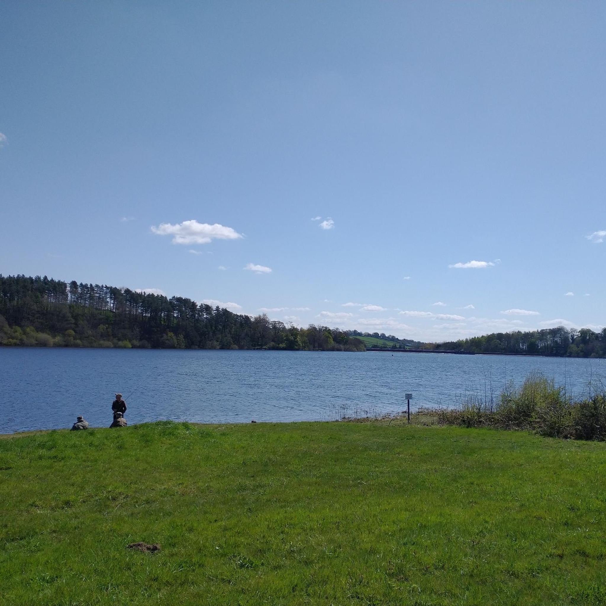
The Embalse de los Ángeles is a swamp that is located near the town of Los Ángeles de San Rafael. It collects the waters of the southeast of the Sierra del Quintanar.
2
0
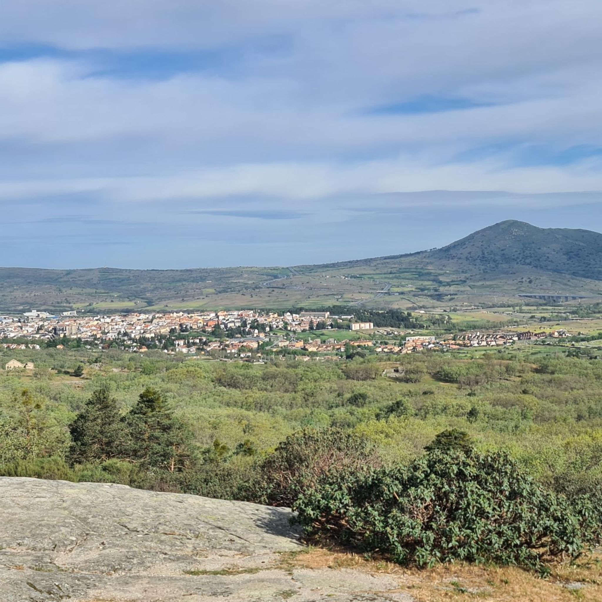
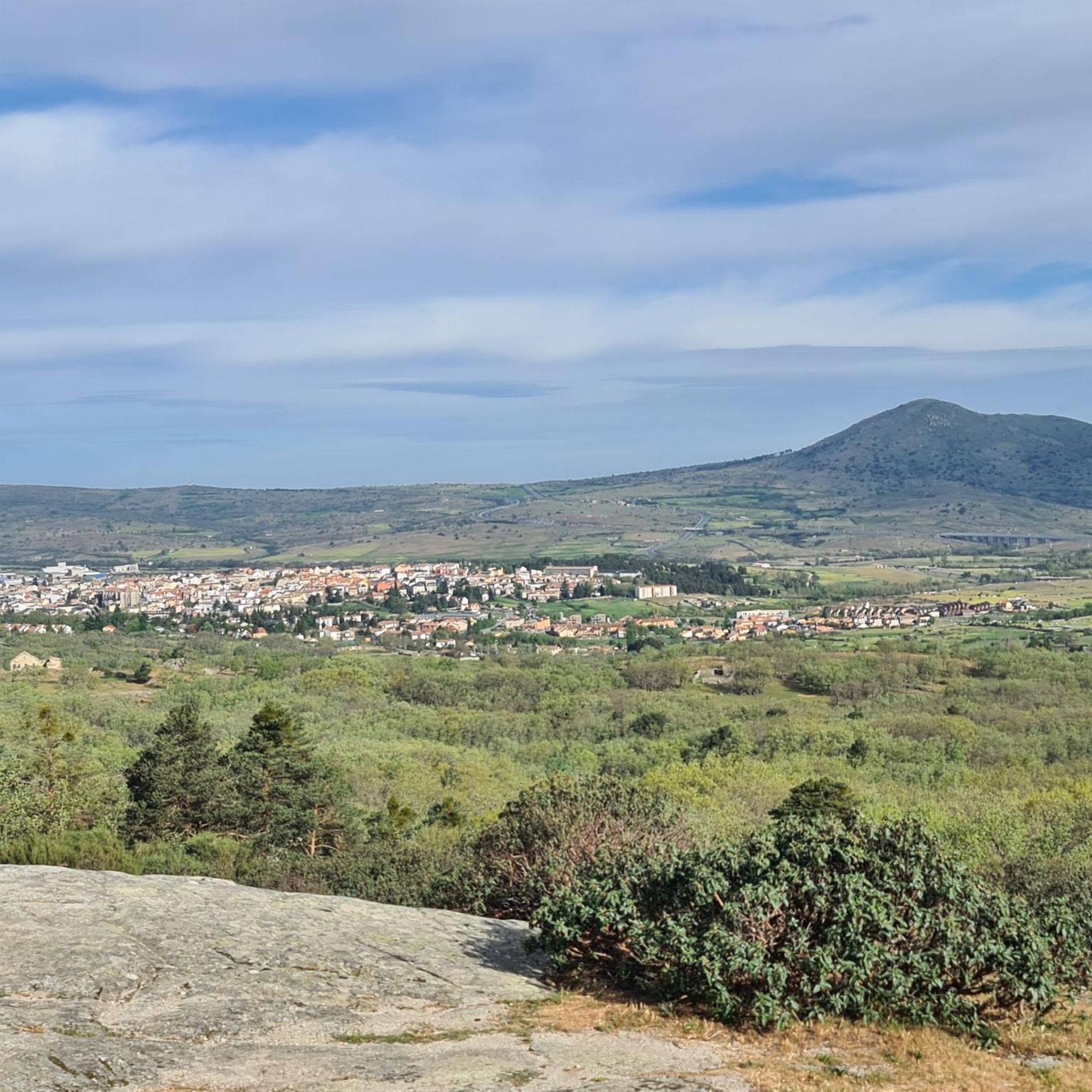
From this crowded part of the municipality and close to the Ermita de San Roque, you can see good views of the town.
1
0
One of the characteristics of the town is that it is home to the old medieval town that has been depopulated for centuries, called Matute. Hence the name of the current kernel.
0
0

The Risca del Río Moros is a gorge caused by the embedding of the river by abrasion. The canyon has a length of about 300 m. with walls up to 40 meters high and very few meters wide. It is like a stone fence between holm oaks with a viewpoint from where you can admire wonderful views of the Sierra de Quintanar, the Río Moros valley and the Castilian plain downstream.
0
0
Frequently Asked Questions
How many hiking trails are available in Monterrubio?
There are 7 hiking trails available around Monterrubio, offering a variety of experiences from easy strolls to moderate treks through diverse landscapes.
What kind of terrain can I expect on hikes in Monterrubio?
The terrain varies significantly between the two Monterrubio regions. In Monterrubio de la Demanda, you'll find extensive oak and beech forests, river valleys, and mountainous areas. Monterrubio de la Serena, on the other hand, features vast plains with holm and cork oaks, and landscapes shaped by the La Serena Dam and the Zújar valley. Trails often follow riparian areas or old railway lines like the Sierra de la Demanda Greenway.
Are there any easy hiking routes suitable for beginners in Monterrubio?
Yes, there is one easy route available. For a shorter, less strenuous option, consider The Lovers' Bridge – Río Moros Cliff loop from Valdeprados, which is 2.0 miles (3.2 km) long and typically takes about 51 minutes to complete.
What natural features or landmarks can I see along the hiking trails?
Hikers can explore several notable natural features and landmarks. In the Monterrubio de la Demanda area, you might encounter the serene River Arlanzón and its riparian forests. Near Monterrubio de la Serena, the La Serena Dam and the unique conical hill of Cerro Masatrigo are prominent. Specific highlights include the Río Moros Cliff and The Lovers' Bridge.
Are there any circular hiking routes in Monterrubio?
Yes, many of the trails are circular. For example, the Risca del Río Moros y Embalse de los Ángeles — circular desde Matute is a moderate 6.4 miles (10.3 km) loop. Another popular option is The Lovers' Bridge – Vegas de Matute loop from Vegas de Matute, covering 5.3 miles (8.5 km).
What is the best time of year to go hiking in Monterrubio?
The best time depends on the region. Monterrubio de la Demanda, with its extensive oak and beech forests, is particularly vibrant in autumn when the foliage changes color. Spring also offers a serene atmosphere in its valleys with abundant water. Monterrubio de la Serena, known for its birdlife, might be best visited during migration seasons for birdwatching, though its plains are accessible year-round.
Are there any family-friendly hiking options in Monterrubio?
While specific family-friendly designations aren't provided for all routes, the easier trails are generally suitable. The The Lovers' Bridge – Río Moros Cliff loop from Valdeprados is an easy, shorter option that could be a good choice for families.
What do other hikers enjoy most about hiking in Monterrubio?
The area is highly rated by the komoot community, with an average score of 4.1 stars from 13 reviews. Hikers often praise the diverse landscapes, from the tranquil river valleys and forests of Monterrubio de la Demanda to the unique dam and plains of Monterrubio de la Serena. The variety of trails catering to different abilities is also appreciated.
Are there any historical or religious sites to see near the trails?
Yes, there are a few. You can find the Church of Saint Eulalia of Mérida and Sanguino Castle in Valdeprados, offering a glimpse into the local history. Additionally, the Hermitage of the Virgin of Cubillo is another religious site in the vicinity.
Are there any longer, more challenging routes for experienced hikers?
While there are no routes classified as 'difficult' in this selection, several moderate trails offer a good challenge. For a longer moderate hike, consider The Lovers' Bridge – Río Moros Cliff loop from Vegas de Matute, which spans 14.4 km (8.9 miles) and involves more elevation gain than other routes.
Is Monterrubio de la Serena a good place for birdwatching?
Yes, Monterrubio de la Serena is an excellent location for birdwatching. The La Serena Dam is part of the La Siberia Biosphere Reserve and is recognized as a Special Protection Area for Birds (SPA). This makes it a significant ecological site, attracting enthusiasts eager to observe aquatic birds and birds of prey.
What is the Sierra de la Demanda Greenway Nature Trail?
The Sierra de la Demanda Greenway Nature Trail is a notable feature in Monterrubio de la Demanda. It's a repurposed old mining railway line that stretches for 54 kilometers between Arlanzón and Monterrubio de la Demanda. This trail offers picturesque views along the River Arlanzón, passing through unspoiled countryside and charming villages, making it ideal for longer walks or cycling.
Most popular attractions around Monterrubio

Get inspired with the komoot mobile app


Explore more
Browse the best Hikes in other regions.
