The best walks and hikes around Laguna De Cameros
4.5
(19)
153
hikers
22
hikes
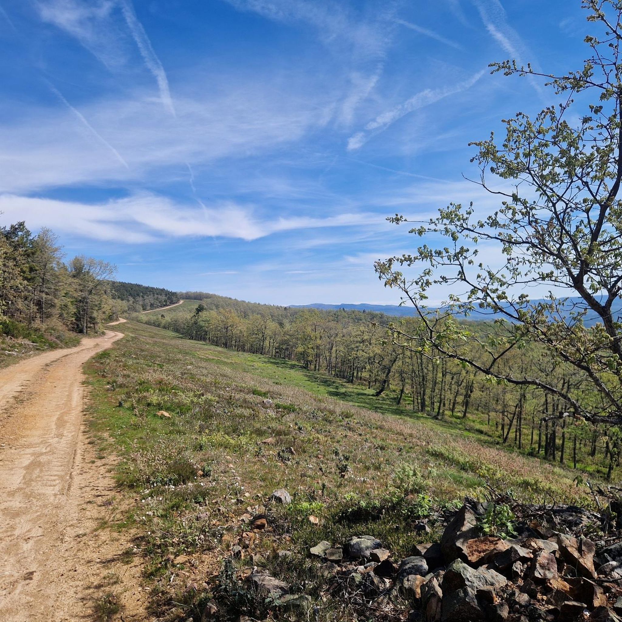
Hiking around Laguna De Cameros offers access to a landscape characterized by river valleys, reservoirs, and wooded dehesa. The region features a mix of terrain, from gentle paths around water bodies to more challenging ascents through higher valleys. These hiking trails around Laguna De Cameros provide opportunities to explore both natural and cultural points of interest.
Best hiking trails around Laguna De Cameros
- The most popular hiking route is GR 190: Altos Valles Ibéricos Loop, a 16.9 miles (27.1…
Last updated: July 4, 2026
1
hikers
27.1km
08:14
870m
870m
Hike the GR 190: Altos Valles Ibéricos Loop, a difficult 16.9-mile trail through La Rioja's diverse Iberian mountain ranges.
18.6km
05:15
390m
390m
Hike the difficult 11.6-mile (18.6 km) Embalse de González Lacasa circular route, gaining 1283 feet (391 metres) with reservoir and mountain

Sign up for free
5.0
(2)
26
hikers
5.65km
01:43
200m
200m
Easy hike. Great for any fitness level. Easily-accessible paths. Suitable for all skill levels.
4.0
(1)
11
hikers
5.72km
01:43
190m
190m
Easy hike. Great for any fitness level. Easily-accessible paths. Suitable for all skill levels.
4.3
(3)
17
hikers
12.8km
03:50
410m
410m
Moderate hike. Good fitness required. Easily-accessible paths. Suitable for all skill levels.
Get access to more routes and recommendations from other explorers.
Sign up for free
Already have an account?
Our route recommendations are based on thousands of hikes, rides, and runs completed by other people on komoot.
Start today with a free account
Your next adventure awaits.
Login or Signup
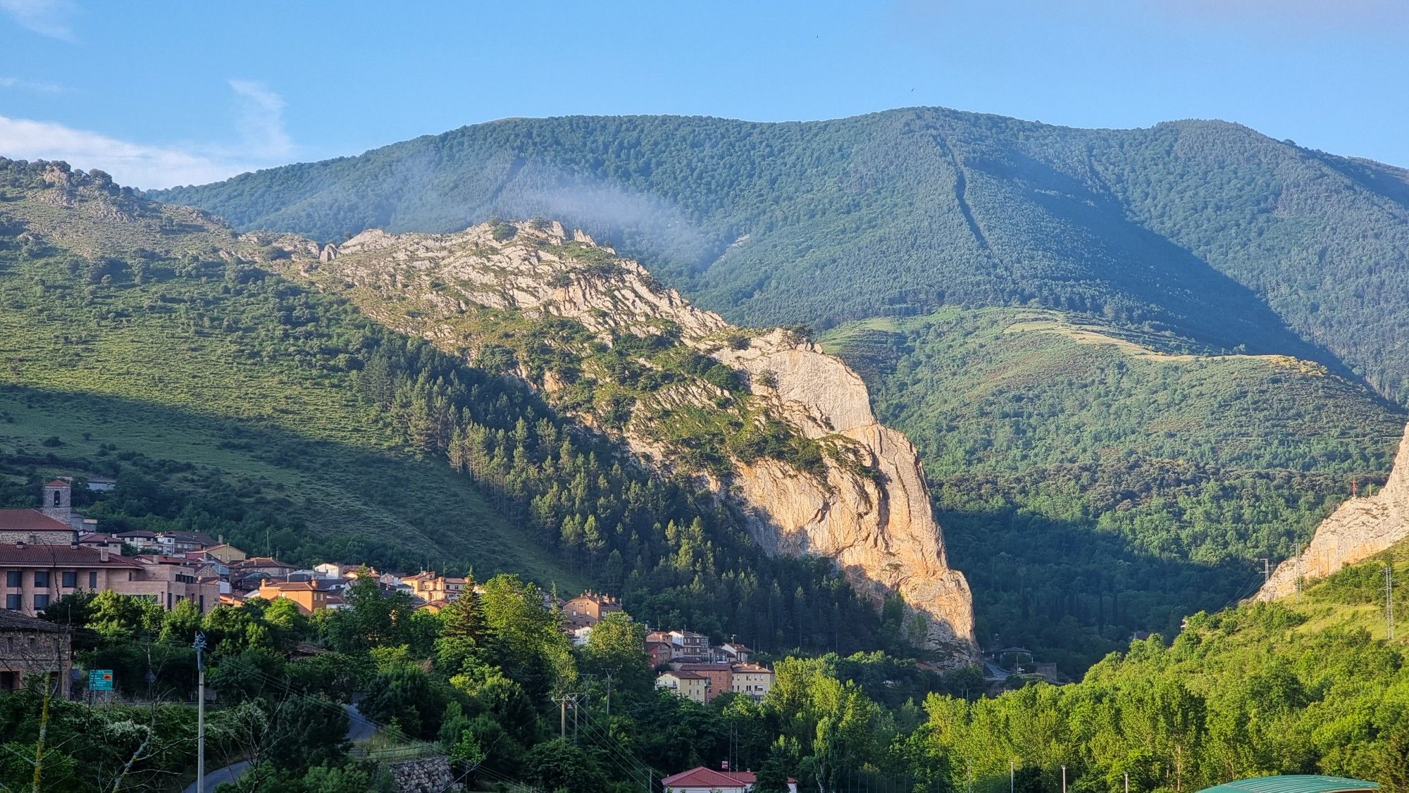
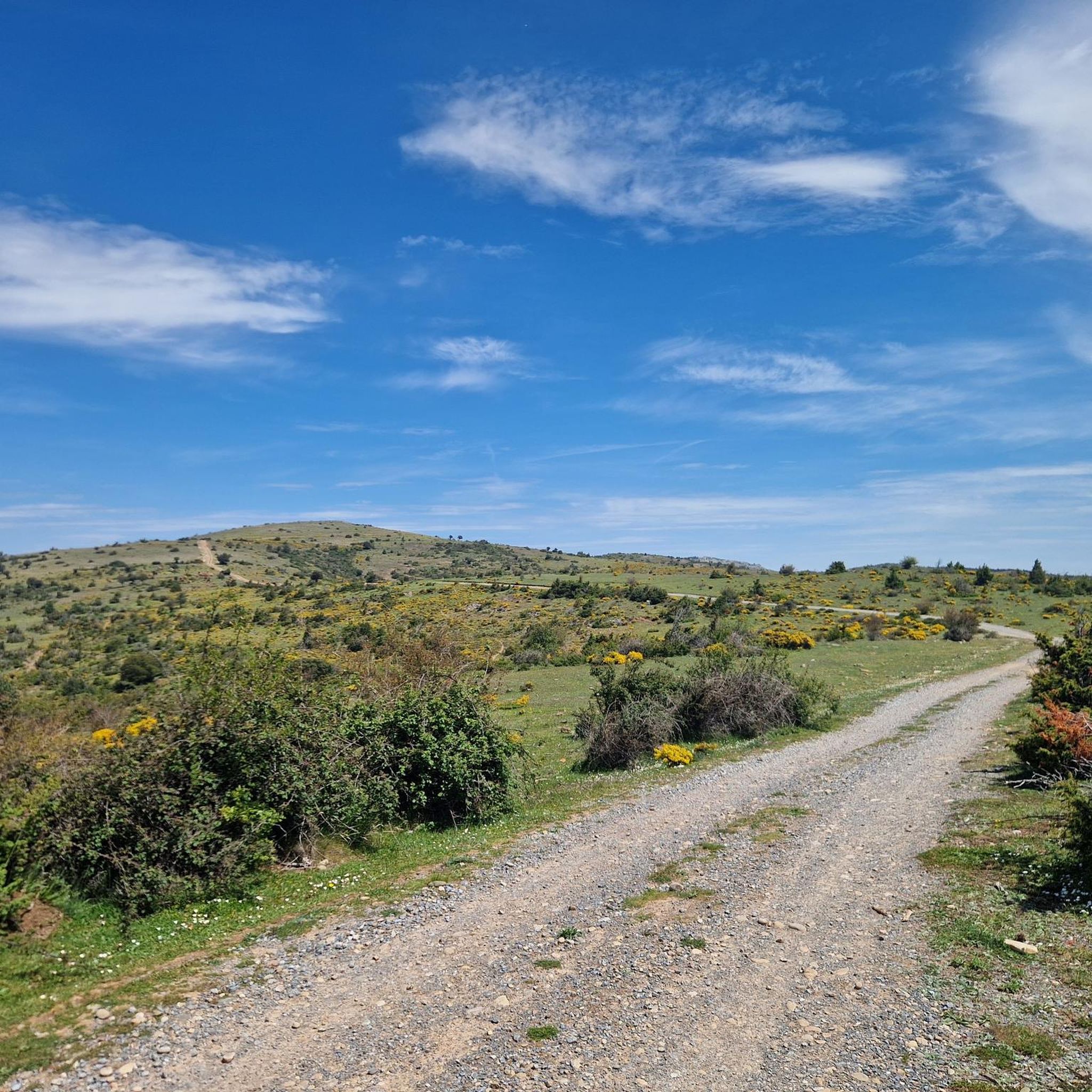
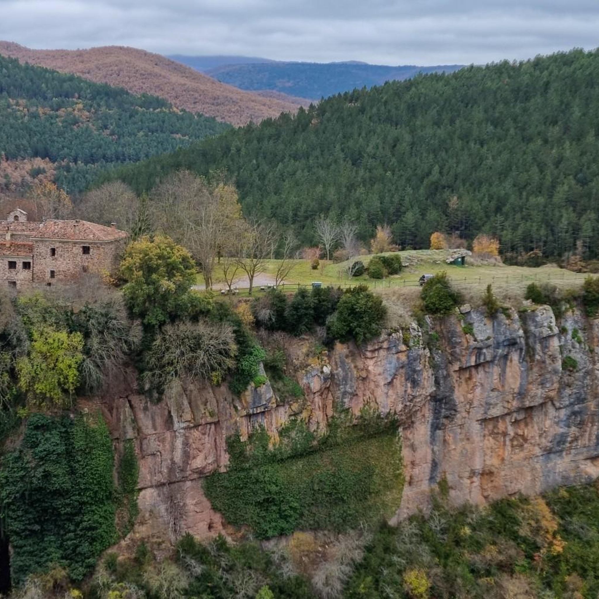
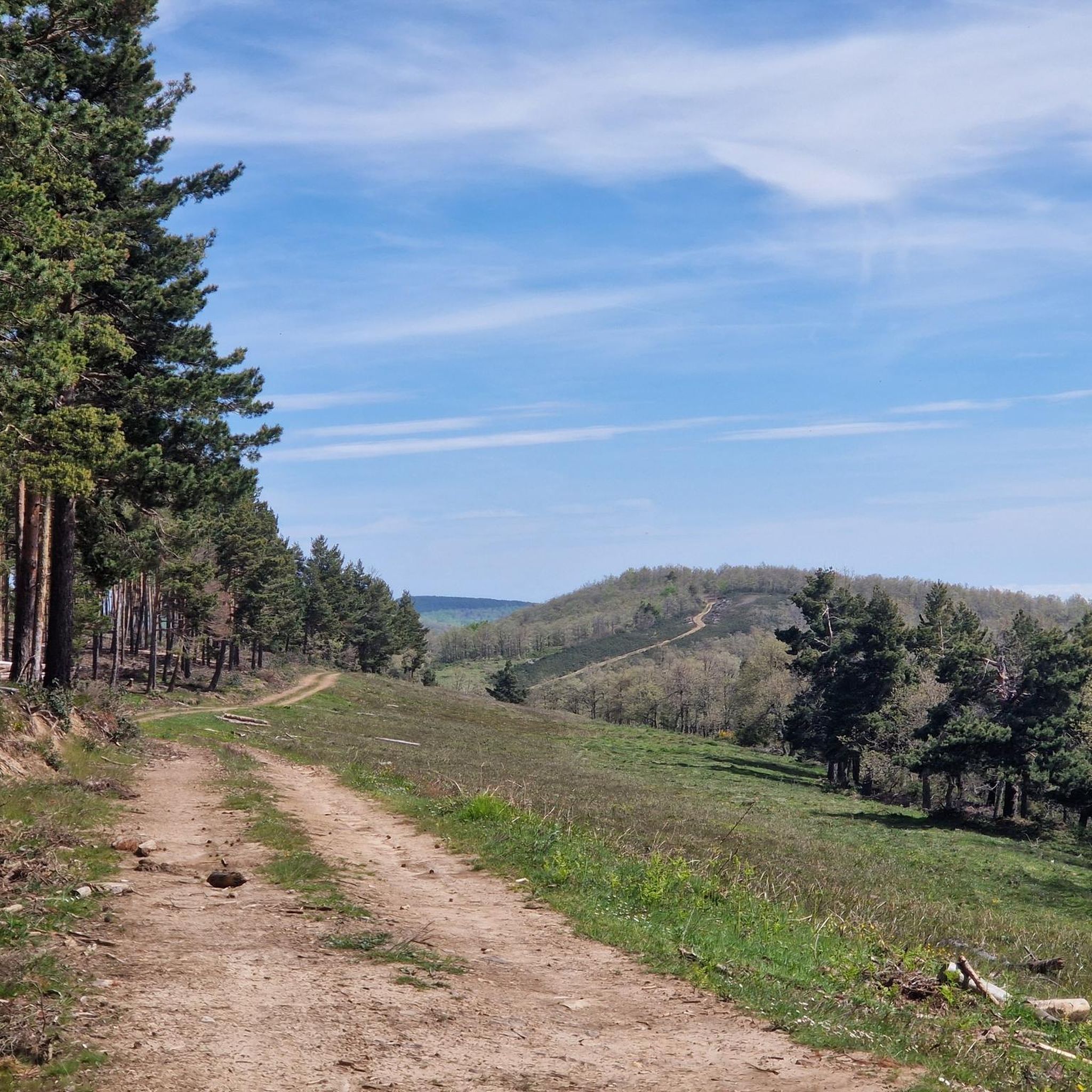
Other adventures around Laguna De Cameros

Tips from the Community

There is a very nice walk through the town! Time: about 1 hour
1
0

This trail under an oak forest is simply a mountain biker's dream.
0
0

Villoslada de Cameros is a small town in La Rioja inhabited by only around 400 people. It is located in a magical setting, at the foot of the Sierra de Cebollera Natural Park.
0
0

Singular tree of the CCAA, quite deteriorated but enduring the passing of the years.
1
0

The port of Peña Hincada has good asphalt and horizontal signage. It is a road with little vehicle traffic. Shadows abound up to Brieva to disappear from that core to the top, totally stark in its most demanding part. Be very careful if it is done in winter, check the weather beforehand.
1
0

Known as Pantano de Ortigosa or Embalse de González-Lacasa, the dam is located between the towns of Ortigosa de Cameros, El Rasillo and Peñaloscintos, in Camero Nuevo. The reservoir is located on the Alberco river, although its waters come from the Iregua river, where the water is transferred through an underground channel from downstream of Villoslada.
3
0
Located in the Cameros region, the town of Villoslada de Cameros has its origins in the 2nd century AD, although its first documented appearance dates from 1366. As in many towns in the area, during the 19th and 20th centuries a great textile industry, managing to reach a population of 1419 inhabitants and 40 looms.
3
0

Villoslada de Cameros is an urban center crossed by the Río Mayor, which is located in the extreme south of La Rioja, at the foot of the Sierra de Cebollera Natural Park. It has an interesting architectural urban area.
1
0
Frequently Asked Questions
How many hiking trails are available in Laguna De Cameros?
Laguna De Cameros offers a diverse network of over 15 hiking trails. These routes vary in difficulty, providing options for different experience levels, from easy strolls to challenging ascents through the Iberian valleys.
Are there easy hiking trails suitable for beginners or families in Laguna De Cameros?
Yes, Laguna De Cameros has several easy hiking trails perfect for beginners or families. Two notable options include the Laguna de La Nava loop from Villoslada de Cameros, which is about 3.5 miles (5.7 km) long, and the Church of San Martín – ErmitaDeSanPedro loop from Torrecilla en Cameros, also around 3.5 miles (5.7 km).
What is the typical duration of hikes in Laguna De Cameros?
Hikes in Laguna De Cameros vary significantly in length and duration. Shorter, easy routes like the Laguna de La Nava loop can be completed in under 2 hours, while more challenging trails such as the GR 190: Altos Valles Ibéricos Loop can take over 8 hours to complete.
Are there any circular hiking routes in Laguna De Cameros?
Many of the trails in Laguna De Cameros are designed as circular routes, allowing you to start and end at the same point. Examples include the González Lacasa Reservoir Loop and the San Román Dehesa – Dehesa of San Román de Cameros loop.
When is the best time of year to hike in Laguna De Cameros?
The best time to hike in Laguna De Cameros is typically during spring (April to June) and autumn (September to October). During these seasons, the weather is generally mild and pleasant, and the natural scenery is at its most vibrant. Summer can be hot, especially at lower elevations, while winter may bring snow to higher areas.
What kind of natural features or landmarks can I expect to see along the trails?
Hiking in Laguna De Cameros offers a chance to explore river valleys, reservoirs, and wooded dehesa landscapes. You can encounter natural landmarks such as the González Lacasa Reservoir and the Puerto de la Rasa (1,420 m). The region is also known for its caves, including CuevaLobrega-I and Cueva Ventana.
Are dogs allowed on the hiking trails in Laguna De Cameros?
Generally, dogs are welcome on hiking trails in Laguna De Cameros, especially if they are kept on a leash. It's always a good idea to check specific trail regulations or local signage, particularly in protected natural areas, to ensure compliance.
Is parking available at the trailheads in Laguna De Cameros?
Parking is typically available near the starting points of many popular hiking trails and in the villages throughout Laguna De Cameros. However, availability can vary, especially during peak seasons. It's advisable to arrive early or check specific route information for details on parking facilities.
Can I reach hiking trails in Laguna De Cameros using public transport?
Public transport options to reach specific trailheads in the rural area of Laguna De Cameros can be limited. While some villages may have bus connections, direct access to all hiking starting points might require a private vehicle. It's recommended to research local bus schedules if you plan to rely on public transport.
What do other hikers enjoy most about hiking in Laguna De Cameros?
The hiking routes in Laguna De Cameros are highly rated by the komoot community, with an average score of 4.6 stars. Hikers often praise the region's varied terrain, from tranquil reservoir paths to more challenging mountain ascents, and the opportunities to explore both natural beauty and charming villages like San Román de Cameros.
What should I wear or bring for a hike in Laguna De Cameros?
For hiking in Laguna De Cameros, it's recommended to wear sturdy hiking boots, dress in layers to adapt to changing weather conditions, and bring sufficient water, snacks, and sun protection. A map or GPS device is also advisable, especially for longer or less-marked trails.
Most popular attractions around Laguna De Cameros

Get inspired with the komoot mobile app


Explore more
Browse the best Hikes in other regions.
