The 7 Most Amazing Peaks around Sant Esteve De La Sarga
Best mountain peaks around Sant Esteve De La Sarga are found within the Montsec mountain range, a region in the Lleida Pre-Pyrenees known for its impressive landscapes and dramatic geological formations. This area offers a variety of natural attractions and opportunities for outdoor activities. The terrain features significant elevation changes and provides extensive views of the surrounding valleys and distant mountain ranges. It is an excellent destination for those seeking to explore mountain environments.
Best mountain peaks around Sant Esteve…
Last updated: June 29, 2026
Port d'Àger
Highlight • Mountain Pass
Translated by Google •
Tip by

Coll d'Ares
Highlight • Mountain Pass
Translated by Google •
Tip by

Sign up now to discover places like this
Get recommendations on the best single tracks, peaks, & plenty of other exciting outdoor places.
Sign up for free
Sant Alís Summit
Highlight • Summit
Translated by Google •
Tip by

Alt de Fontllonga
Highlight • Summit
Translated by Google •
Tip by
Tossal de Mirapallars
Highlight • Summit
Translated by Google •
Tip by

Sign up for free to discover even more peaks around Sant Esteve De La Sarga.
Sign up for free
Already have an account?
Start today with a free account
Your next adventure awaits.
Login or Signup
Popular around Sant Esteve De La Sarga
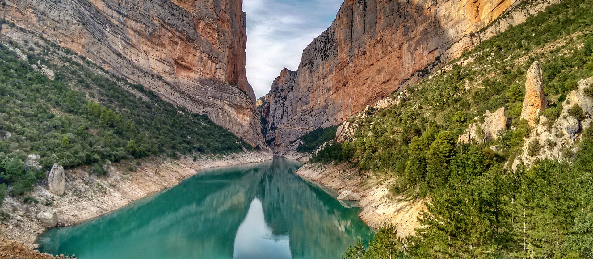
Lleida to El Pont d'Orrit – Sendero Central de Cataluña (GR3)
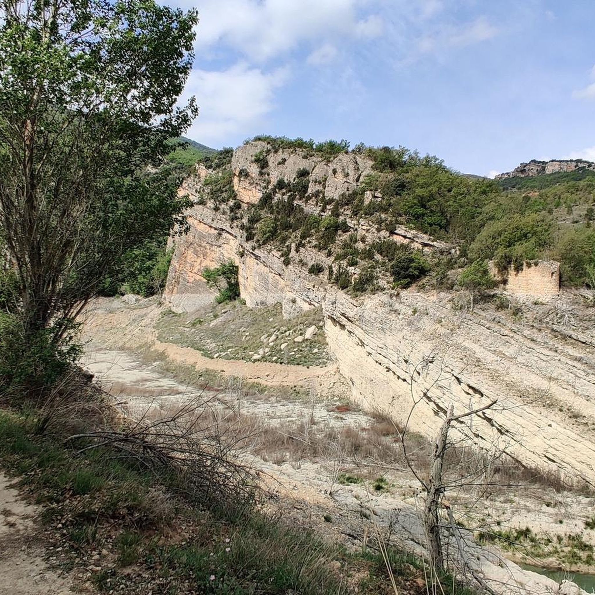
Hiking around Sant Esteve De La Sarga
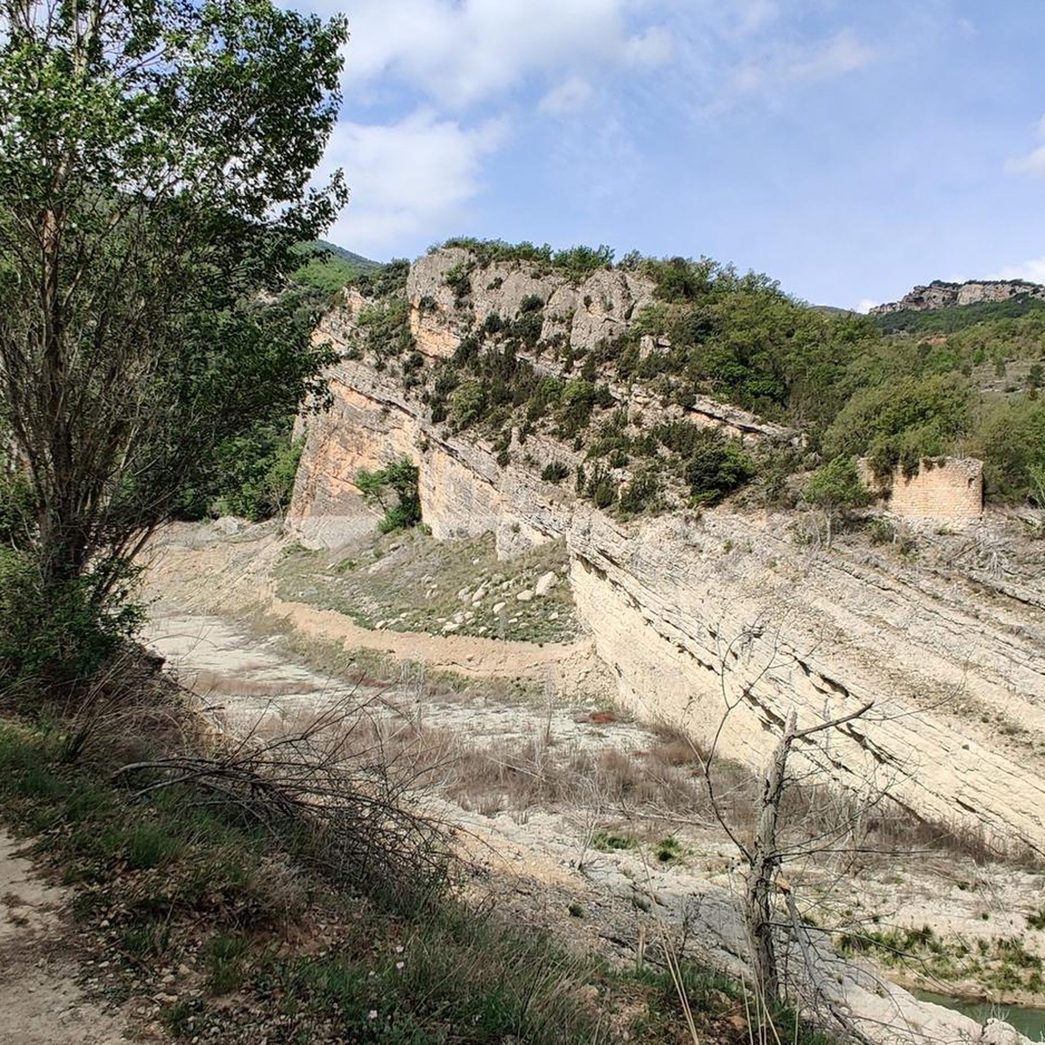
Road Cycling Routes around Sant Esteve De La Sarga
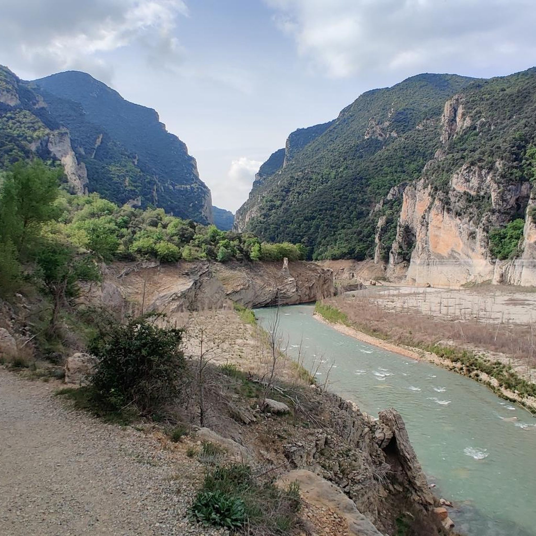
Running Trails around Sant Esteve De La Sarga
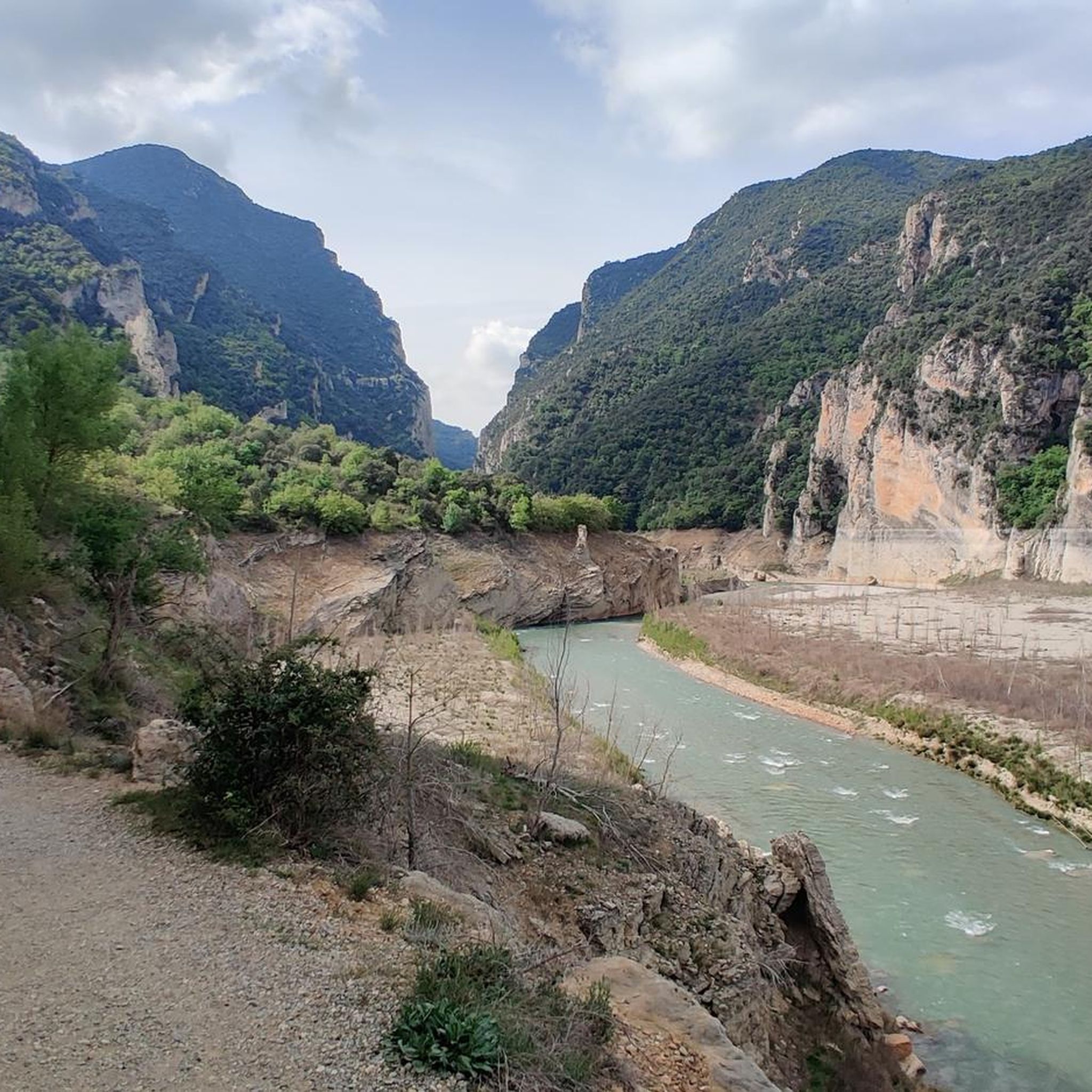
MTB Trails around Sant Esteve De La Sarga
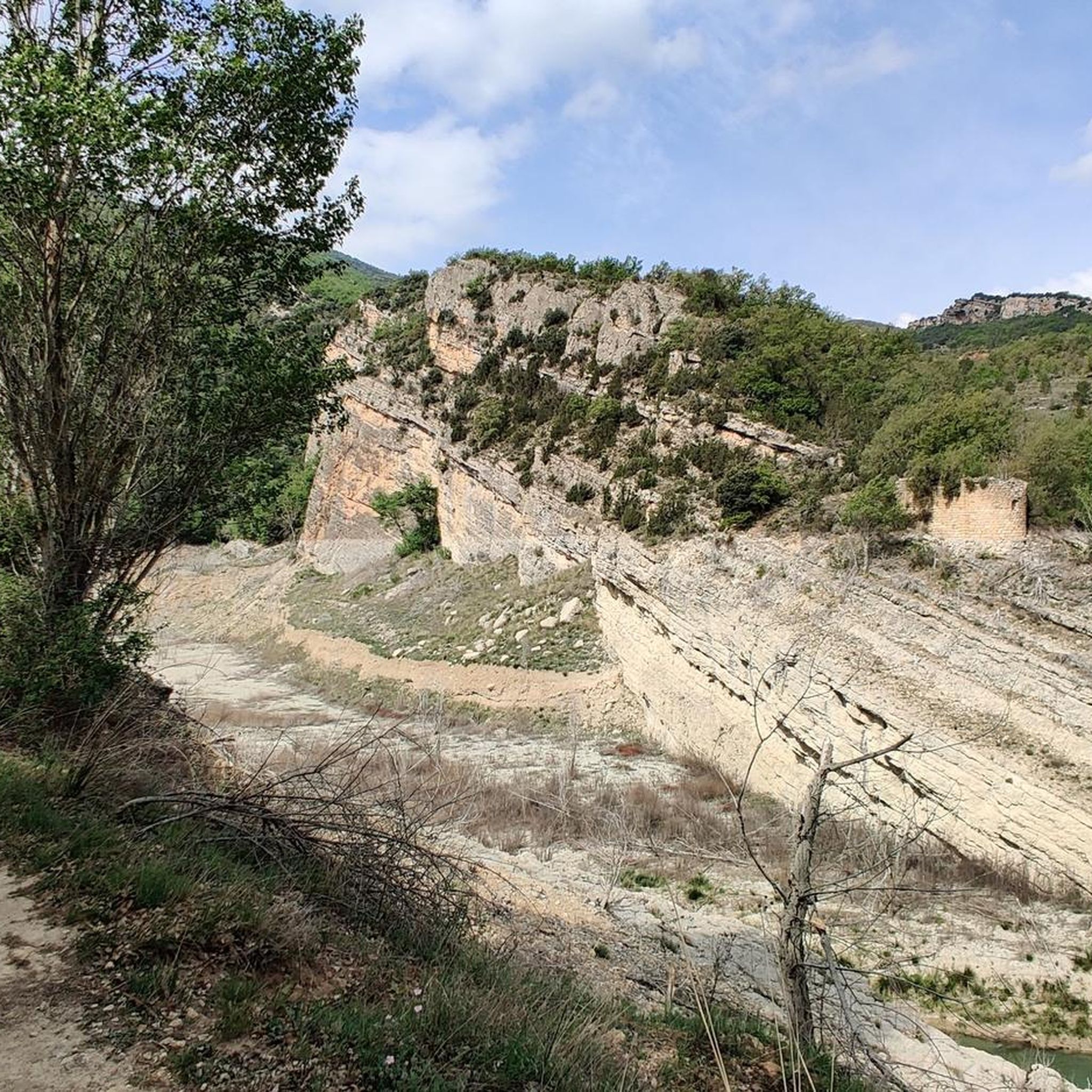
Cycling around Sant Esteve De La Sarga

Gravel biking around Sant Esteve De La Sarga
Other adventures around Sant Esteve De La Sarga

Tips from the Community

It is a port in the Montsec mountain range that allows access to the beautiful valley where the town of Àger is located, with imposing vertical mountains that give a lot of charm and spectacularity to the valley, especially in spring where the green of the trees, the red of poppies and the warm yellow of wheat. The port is very stinky on both sides since the road is very wide, normally with 3 lanes, and with long straights, which take away any type of cycling attraction. However, the views from the port, especially towards the Àger valley, are spectacular. I climbed it on the southern slope, the one that begins in Balaguer. From Balaguer it is almost 25 km, with continuous ups, downs and flat areas. The final uphill section is 5.5 km at 6 - 7%, with a rest section when crossing the town of Sant Josep de Fontdepou
0
0

In the Catalan language Mirapallars means to look towards the Pallars (province located north of the Serra del Montsec). Well, the name of the mountain offers spectacular views of the southern part of Pallars Jussà.
0
0

Located in the Montsec mountain range. The summit of Sant Alís, at 1,675.4 meters above sea level, is the highest peak in the sierra. It offers us beautiful views and good views of the plain of Lleida and the Pyrenees. If we are lucky enough to arrive on a clear day, we can see Montserrat, Pedraforca (behind), Pica de Estados, Aneto and Monte Perdido.
0
0
Views of the Vall de Ager and the Pyrenees on clear sky days. Nice place for sunsets.
1
0

Very nice views on both sides of this climb. There is not a lot of shade on the climb, so it gets really hot on a sunny day. Also, the asphalt is not in the best shapes. So watch out when descenting.
0
0

very quiet area with spectacular views, ideal to get lost
1
0

Magnificent views of the whole valley of Àger, the plain of Lleida and a good viewpoint of the Pyrenees
3
0

The summit, which is located above 1,500 meters of altitude, is a common place for paragliding.
1
0
Frequently Asked Questions
What are some of the most notable mountain peaks and features to explore in Sant Esteve de la Sarga?
The region offers several impressive natural features. The highest peak in the Montsec sierra is Sant Alís Summit, standing at 1,675.4 meters, offering panoramic views. Another significant feature is Coll d'Ares, a mountain pass above 1,500 meters known for spectacular views and paragliding. While not a peak, the Mont-rebei Gorge is a spectacular narrow pass with cliffs up to 500 meters high, famous for its path carved into the rock face.
What kind of terrain can I expect when exploring the mountain peaks around Sant Esteve de la Sarga?
The mountain peaks around Sant Esteve de la Sarga are part of the Montsec mountain range, characterized by impressive landscapes and dramatic geological formations. You can expect significant elevation changes, with varying terrain including continuous ups, downs, and flat areas, culminating in uphill sections. The region features high-altitude summits, mountain passes, and viewpoints with extensive vistas.
Are there challenging hiking routes available near the mountain peaks of Sant Esteve de la Sarga?
Yes, the region offers several challenging hiking routes. For instance, the Mont-rebei Gorge features paths carved directly into rock faces, providing an adventurous experience. You can find difficult routes like the "Congost de Mont-rebei – Mont-rebei Gorge loop from la Torreta" or the "Mont-rebei Gorge – Congost de Mont-rebei loop from P 1" which are over 12 km long. More details can be found in the hiking guide for Sant Esteve de la Sarga.
Can I find easy or family-friendly mountain walks in Sant Esteve de la Sarga?
Yes, there are options for easier walks. For example, the "Parking La Masieta – Congost de Mont-rebei loop from la Torreta" is listed as an easy hiking route, allowing families to experience the natural beauty of the area. The ascent to Sant Alís Summit from Coll d'Ares is also considered a relatively straightforward route, making it accessible for many. For more options, consult the hiking guide for Sant Esteve de la Sarga.
When is the best time of year to visit the mountain peaks in Sant Esteve de la Sarga for hiking?
The region is an excellent destination for active tourism, offering numerous paths and routes. While specific seasonal advice isn't provided, the mention of "spring where the green of the trees, the red of poppies and the warm yellow of wheat" suggests spring is a particularly beautiful time. Generally, spring and autumn offer pleasant temperatures for hiking, avoiding the extreme heat of summer or potential snow in winter at higher elevations.
What outdoor activities, besides hiking, can I do near the mountain peaks of Sant Esteve de la Sarga?
Beyond hiking, the region is popular for various outdoor activities. The Mont-rebei Gorge is excellent for kayaking and climbing, allowing visitors to experience the vertical cliffs from different perspectives. Coll d'Ares is a common location for paragliding. The Montsec mountain range also offers numerous routes for mountain biking. You can find more details in the gravel biking guide or running trails guide for the area.
What are the views like from the mountain peaks in Sant Esteve de la Sarga?
The mountain peaks in Sant Esteve de la Sarga offer spectacular views. From Sant Alís Summit, you can enjoy breathtaking panoramic views of the plain of Lleida and the Pyrenees on clear days, with potential glimpses of iconic peaks like Montserrat, Pedraforca, Pica d'Estats, Aneto, and Monte Perdido. Coll d'Ares also provides spectacular vistas, and Tossal de Mirapallars offers views towards the Pallars region.
Are there any unique geological formations or natural monuments in the Sant Esteve de la Sarga mountain area?
Yes, the region is known for its dramatic geological formations. The Mont-rebei Gorge is an extraordinary natural monument with cliffs up to 500 meters high carved by the Noguera Ribagorçana river. Another striking feature is Roca Regina, an impressive rock wall popular with climbers. The Chinese Wall of Finestres (Roques de la Vila) is a unique geological formation accessible by boat through the Canelles reservoir.
What wildlife might I encounter in the mountain areas of Sant Esteve de la Sarga?
The Montsec mountain range is a protected natural area, supporting diverse wildlife. In the Mont-rebei Gorge, it's common to see vultures circling above the cliffs. The natural environment provides habitats for various species, making it a rewarding area for nature observation.
What do visitors enjoy most about the mountain peaks around Sant Esteve de la Sarga?
Visitors particularly appreciate the spectacular views, the quiet and serene atmosphere, and the opportunities for adventure. The panoramic vistas from summits like Sant Alís Summit and the unique experience of hiking through the Mont-rebei Gorge are frequently highlighted. The region's natural beauty and the variety of outdoor activities also contribute to its appeal.
Is there a mountain pass that provides access to the Àger valley?
Yes, Port d'Àger is a mountain pass that provides access to the beautiful Àger valley within the Montsec mountain range. It features varying terrain and offers spectacular views, especially towards the valley.
Most popular routes around Sant Esteve De La Sarga
Most popular attractions around Sant Esteve De La Sarga

Get inspired with the komoot mobile app


Explore more
See even more amazing summits around Sant Esteve De La Sarga with these guides:
