The best running trails around Sant Esteve De La Sarga
3.7
(3)
361
runners
22
runs
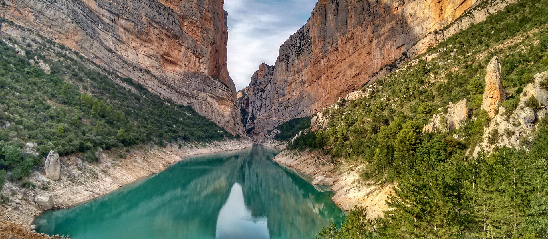
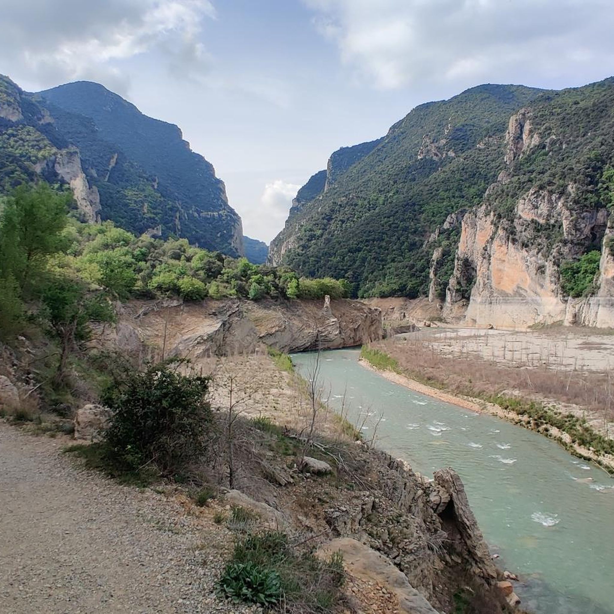
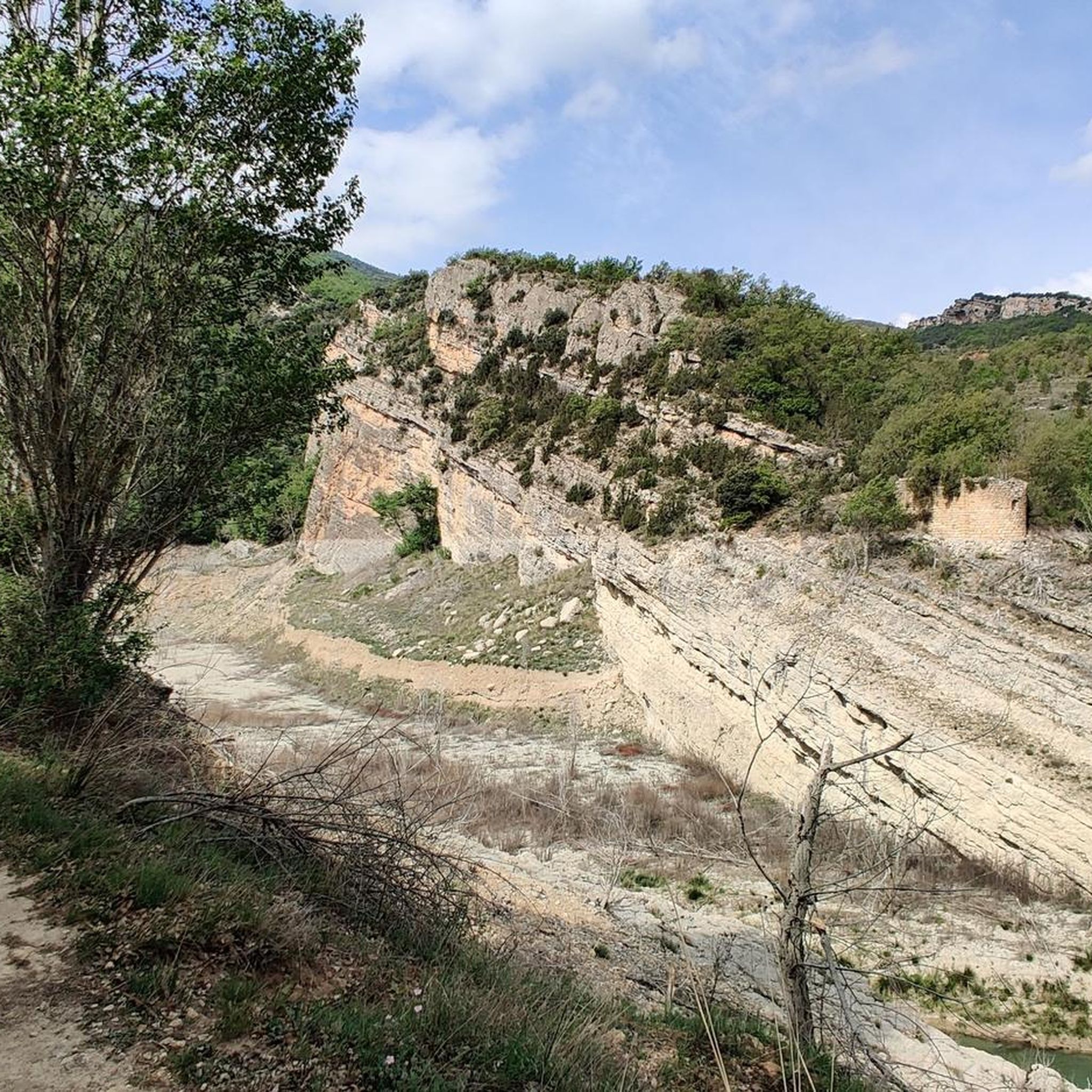
Jogging routes around Sant Esteve De La Sarga traverse a diverse landscape in the Lleida Pre-Pyrenees, characterized by a relatively flat central area with gentle slopes and hills. To the west, the Noguera Ribagorzana river carves through the dramatic Mont-rebei Gorge, featuring 500-meter-high vertical cliffs. The northern part of the municipality is dominated by the Montsec d'Ares mountain range, offering varied terrain from river valleys to mountain paths. This region provides abundant open spaces and rural tracks suitable for running.
…Last updated: June 28, 2026
20
runners
14.7km
02:11
720m
720m
Hard run. Very good fitness required. Mostly paved surfaces. Suitable for all skill levels.
34
runners
14.2km
02:10
740m
740m
Hard run. Very good fitness required. Mostly paved surfaces. Suitable for all skill levels.

Sign up for free
19
runners
21.8km
03:46
1,220m
1,220m
Hard run. Very good fitness required. Sure-footedness, sturdy shoes and alpine experience required.
5.0
(1)
22
runners
9.40km
01:18
260m
260m
Hard run. Good fitness required. Sure-footedness, sturdy shoes and alpine experience required.
12
runners
34.8km
05:29
1,810m
1,810m
Hard run. Very good fitness required. Sure-footedness, sturdy shoes and alpine experience required.
Get access to more routes and recommendations from other explorers.
Sign up for free
Already have an account?
Our route recommendations are based on thousands of hikes, rides, and runs completed by other people on komoot.
Start today with a free account
Your next adventure awaits.
Login or Signup
Popular around Sant Esteve De La Sarga

Other adventures around Sant Esteve De La Sarga

Tips from the Community

Quite a spectacular excursion, not recommended if you are very afraid of heights.
0
0

The rock passage runs below the main trail (GR1), as marked on the map (Cami vell de Mont Rebei). It is more challenging (T2) than the upper trail and is therefore only suitable for sure-footed people. It's worth it!
1
1
The bridge is very cool but if you have vertigo it can be a problem, however you can take a small detour
0
0
If you have vertigo, you can take a small detour to avoid the bridge.
0
0

In low season no problem parking at the information center. Car access to parking is 10 euros. Continue walking free of charge. Beautiful walk. Less suitable for people with a fear of heights, but the difficult parts are at the back of the walk and then you can stop and walk back. You've seen the beautiful parts
2
0

Beautiful and impressive path inside the gorge. Although it may look different: with T2 you are there...
2
0

Booking the (only) parking space online in advance is recommended and hassle-free (costs €8 instead of €10 on site).
1
0

Sometimes the Gps seems to indicate that you cross to the opposite side, but it is not.
2
0
Frequently Asked Questions
How many running routes are available in Sant Esteve De La Sarga?
There are 25 dedicated running routes around Sant Esteve De La Sarga listed on komoot, offering a variety of distances and difficulties for joggers.
What do other runners say about the trails in Sant Esteve De La Sarga?
The running routes in Sant Esteve De La Sarga are highly rated by the komoot community, with an average score of 4.0 stars from 4 reviews. Nearly 400 runners have explored the varied terrain, often praising the dramatic gorges and expansive mountain views.
Are there easy jogging routes in Sant Esteve De La Sarga?
While many routes are challenging, there are 5 moderate running trails available. These offer a less strenuous experience compared to the more difficult mountain paths, allowing you to enjoy the scenery at a comfortable pace.
What kind of terrain can I expect on the running trails in this region?
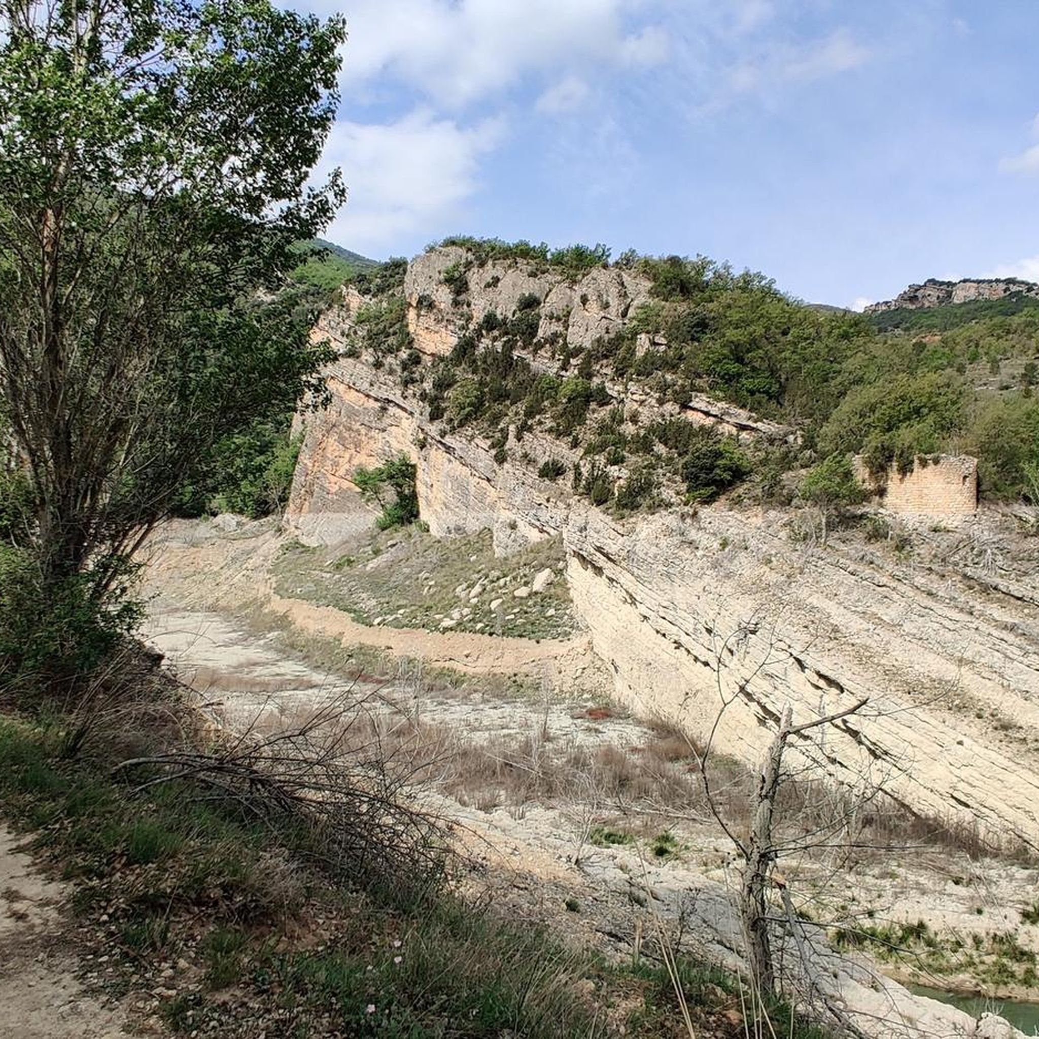
The terrain in Sant Esteve De La Sarga is quite diverse. You'll find a relatively flat central area with gentle slopes and hills, but also more challenging mountain paths in the Montsec d'Ares range and dramatic sections along the Noguera Ribagorzana river, especially near the Mont-rebei Gorge. Expect a mix of rural tracks, forest paths, and rocky trails.
Are there challenging running trails for experienced runners?
Yes, Sant Esteve De La Sarga is an excellent destination for experienced runners seeking a challenge. There are 20 difficult routes, such as the Àger - Pedra - Colobor Loop, which covers 14.7 km with significant elevation gain, or the Terradets Reservoir – Terradets Dam loop from Cellers - Llimiana, a demanding 21.8 km route with over 1200m of ascent.
Can I find circular running routes in the area?
Yes, many of the running routes in Sant Esteve De La Sarga are circular, allowing you to start and finish at the same point. Examples include the popular Àger - Pedra - Colobor Loop and the Mont-rebei Gorge – Congost de Mont-rebei loop, which offers stunning views of the gorge.
Are there running routes with great views or landmarks?
Absolutely. The region is renowned for its spectacular scenery. Many routes offer views of the dramatic Mont-rebei Gorge, the Montsec mountain range, and the Noguera Ribagorzana river. You can also explore highlights like the unique Montfalcó Walkways or the impressive Mont-rebei Gorge itself, which features paths carved into 500-meter-high cliffs.
Are there any historical or cultural sites I can explore near the running paths?
Yes, Sant Esteve De La Sarga is rich in history. You can find archaeological sites like Sant Martí dels Tombets and Els Altimirs, which offer glimpses into the region's past. The area also features charming rustic villages and Romanesque churches, such as San Salvador de Estorm or San Miguel de Moror, which can be discovered along or near various running trails.
When is the best time of year to go jogging in Sant Esteve De La Sarga?
The Lleida Pre-Pyrenees offer pleasant conditions for jogging during spring and autumn, when temperatures are milder. Summer can be hot, especially in the valleys, so early morning or late evening runs are recommended. Winter can bring colder temperatures and potentially snow at higher elevations in the Montsec range, but lower routes may still be accessible.
Is parking available near the trailheads for these running routes?
Yes, parking is generally available near the main trailheads, especially for popular routes like those accessing the Mont-rebei Gorge or starting from villages such as Àger. It's advisable to check specific route details on komoot for precise parking information for your chosen trail.
Are the running trails in Sant Esteve De La Sarga dog-friendly?
Many trails in the natural areas of Sant Esteve De La Sarga are suitable for running with dogs, provided they are kept under control, especially in areas with livestock or wildlife. Always ensure your dog is well-behaved and that you follow local regulations regarding pets in natural parks or protected areas.
Are there family-friendly jogging options in the region?
While many routes are challenging, families can find suitable options by choosing shorter, less strenuous sections of trails or exploring the more gentle paths in the central, flatter areas of the municipality. Always check the route's difficulty and elevation profile on komoot to ensure it's appropriate for all family members.
Most popular routes around Sant Esteve De La Sarga
Most popular attractions around Sant Esteve De La Sarga

Get inspired with the komoot mobile app


Explore more
Browse the best Running Trails & Routes in other regions.
