The best running trails around Berango
4.5
(172)
13,737
runners
12
runs
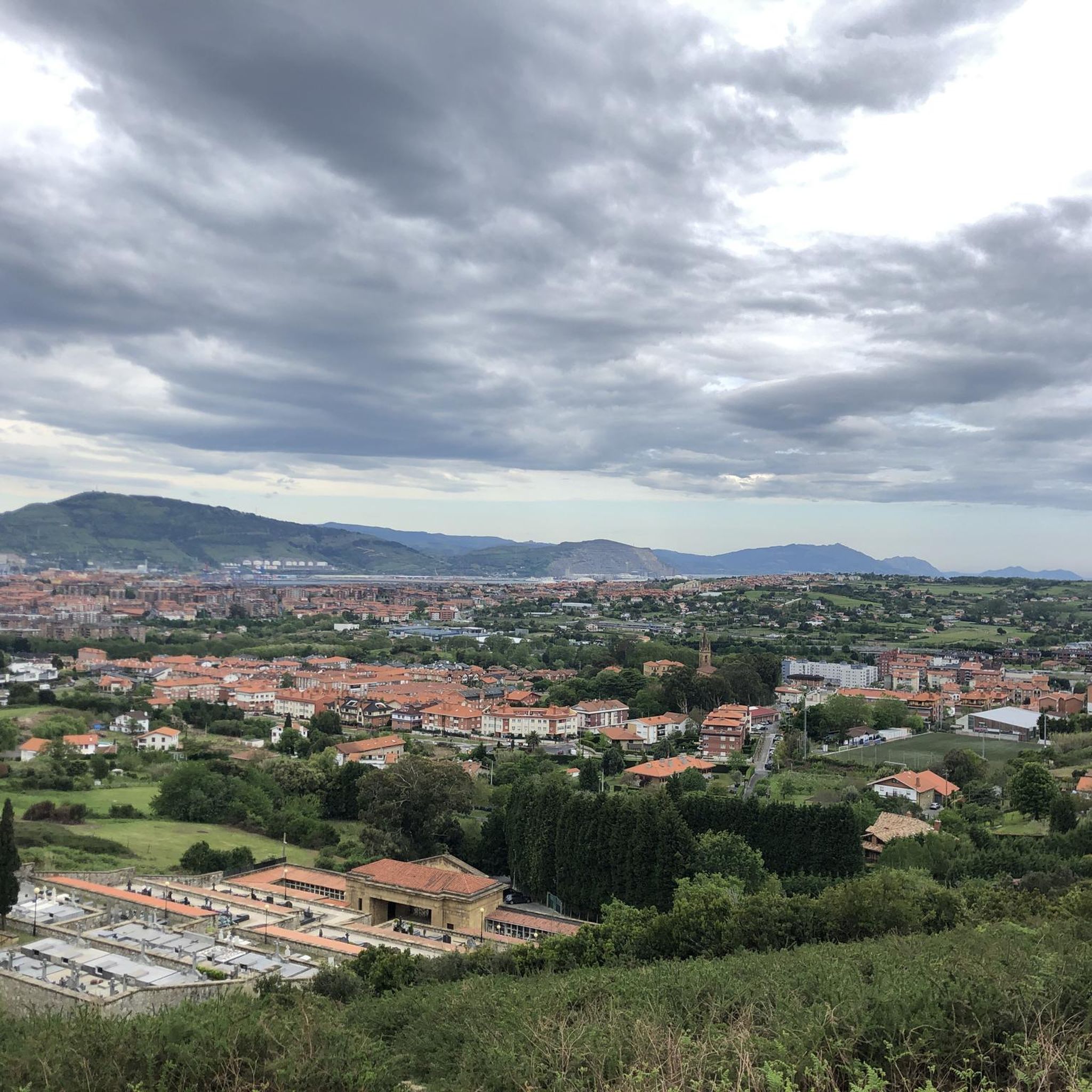
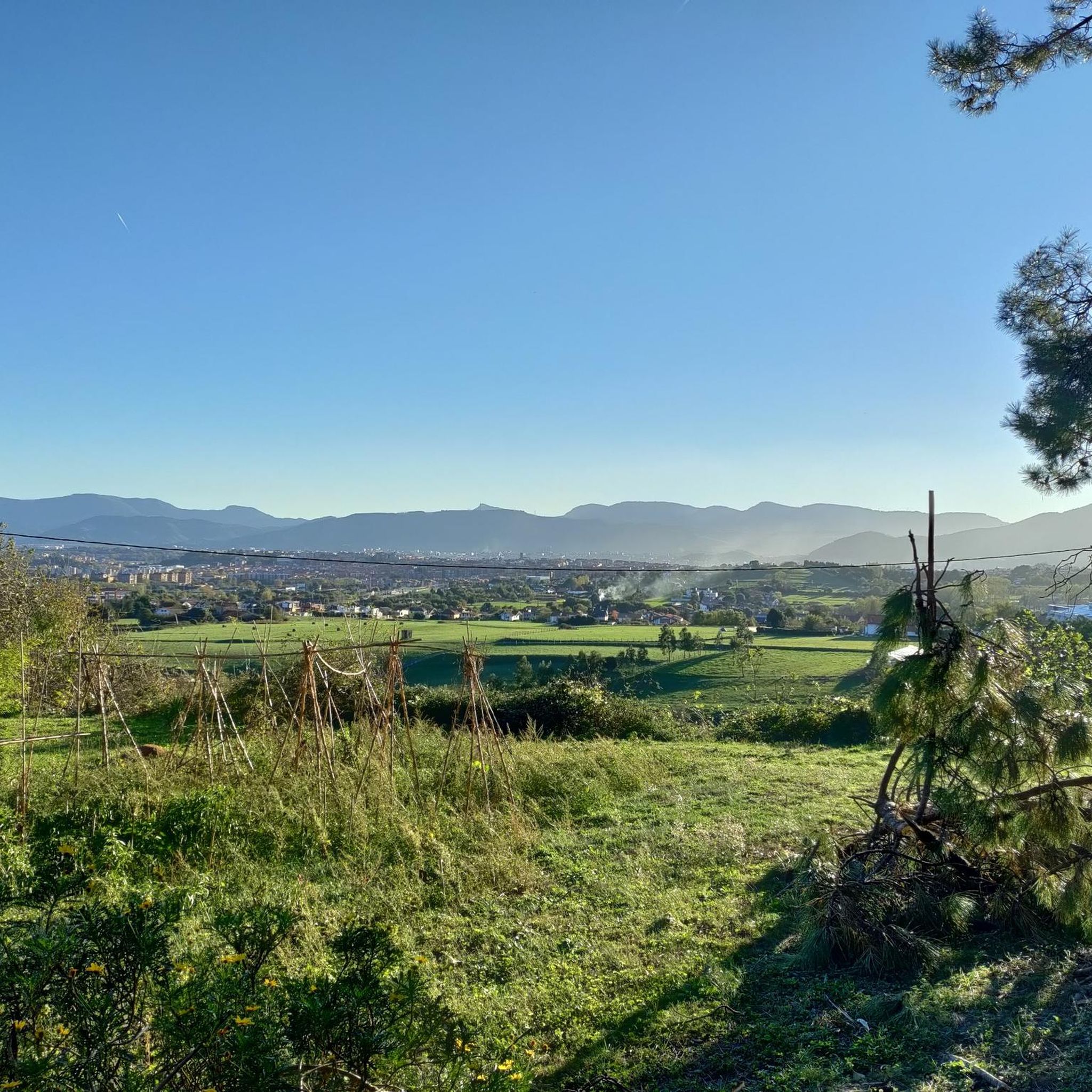
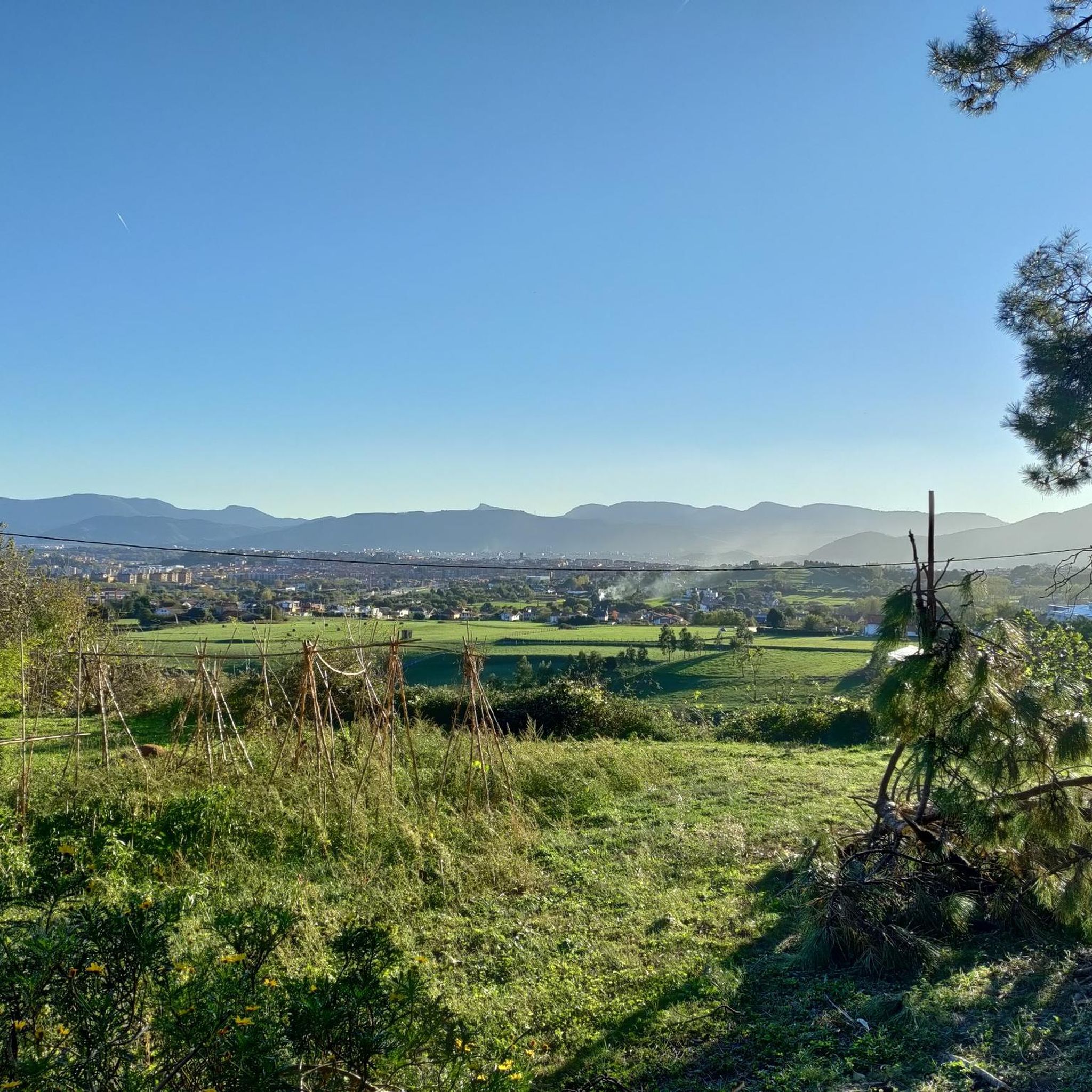
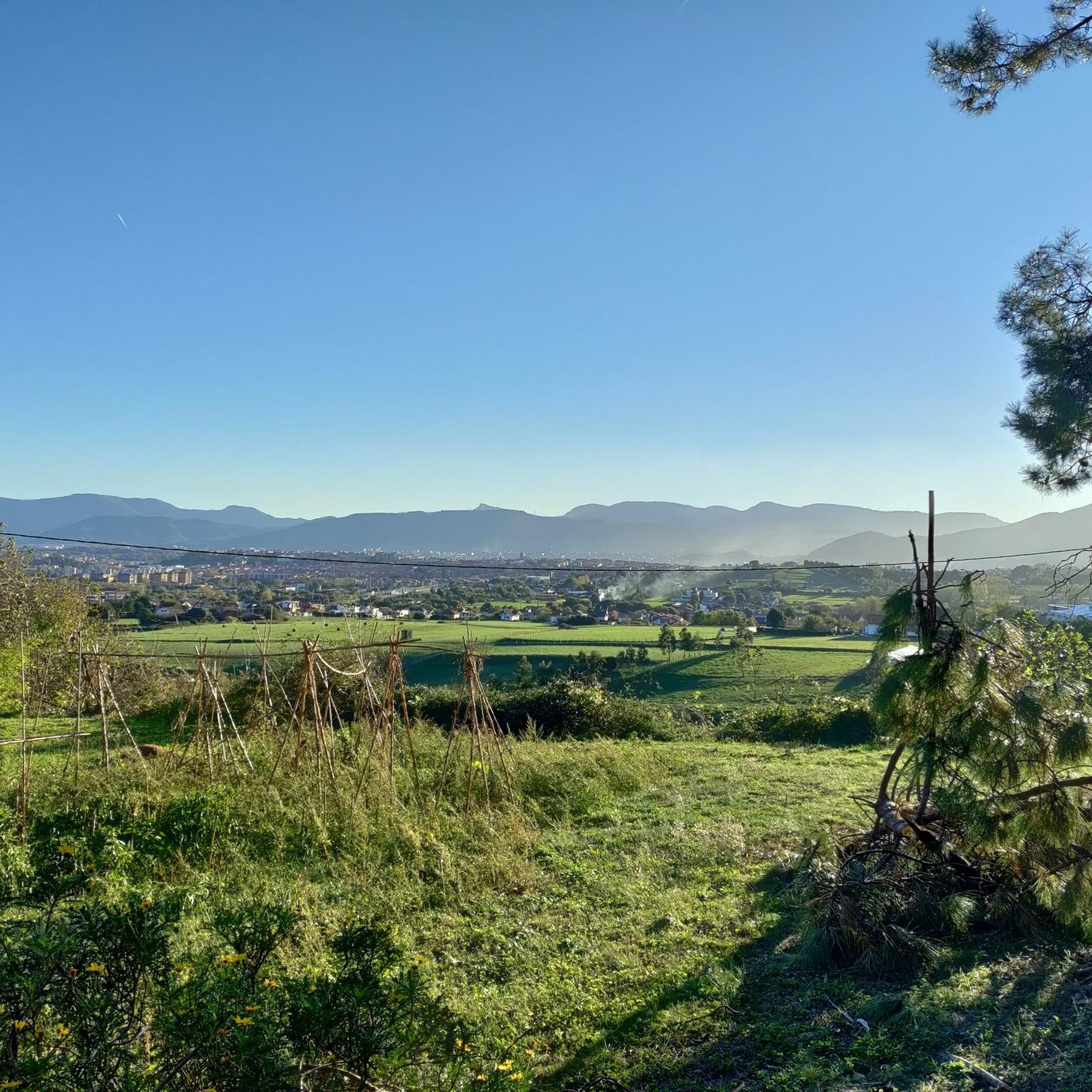
Jogging around Berango offers a diverse landscape characterized by gentle hills and open terrain, providing varied elevation for runners. The municipality is traversed by the Gobela River, which creates opportunities for picturesque riverside paths. While not directly on the coast, Berango's proximity to coastal towns allows for accessible scenic running routes near the sea. This mix of features caters to a range of fitness levels and preferences.
Best jogging routes around Berango
- The most popular jogging route is Dolmen Saierri…
Last updated: October 21, 2026
12
runners
7.72km
00:50
140m
140m
Moderate run. Good fitness required. Mostly paved surfaces.
19
runners
13.3km
01:34
260m
260m
Moderate run. Good fitness required. Mostly paved surfaces.

5
runners
15.4km
01:47
280m
280m
Hard run. Very good fitness required. Mostly paved surfaces.
3
runners
4.56km
00:29
50m
50m
Easy run. Mostly paved surfaces.
5
runners
11.6km
01:21
270m
270m
Moderate run. Good fitness required. Mostly paved surfaces.
Get access to more routes and recommendations from other explorers.
Already have an account?
Our route recommendations are based on thousands of hikes, rides, and runs completed by other people on komoot.
Start today with a free account
Your next adventure awaits.

Tips from the Community

This 192-meter-high peak lies at the westernmost end of the Munarrikolanda Mountains. This mountain range is an important megalithic site stretching between the Saierri and Munarrikolanda mountains and contains a total of seven monuments (burial mounds and dolmens).
0
0
Definitely a highlight here. Shortly before the summit, a narrow single trail leads from the forest road to the summit, which is easy to miss...
0
0
A beautiful beach with high waves depending on the weather, also great for surfers (there's also a surf school)! There's a small swimming area with lifeguards on duty.
0
0
Graffiti Bunker on 2 levels with sea view
0
0

The top of Mount Munarrikolanda (257 meters) is the highest in the Munarrikolanda mountain range. It hides a bunker from the Bilbao Iron Belt. That belt is a defense system that was built in the civil war to defend the city against enemy attacks.
0
0
This 192-meter peak is at the westernmost end of the Munarrikolanda range. This range is an important megalithic station that extends between the Saierri and Munarrikolanda mountains and hides a total of seven monuments (burial mounds and dolmens).
0
0

The mountain bike trails around here can be a little rough but fun. You can try biking to the top of Munarrikolanda, but you may have to get off and walk in parts. Once you get there, there is an old bunker that is interesting to explore and the views from the top of the bunker are quite nice.
1
0

Very clean well maintained bunker with graffiti.
1
0
Frequently Asked Questions
What kind of terrain can I expect on running routes in Berango?
Berango offers a diverse landscape for runners, characterized by gentle hills and open terrain, providing varied elevation. The Gobela River meanders through the municipality, creating picturesque riverside paths. You'll find a mix of flat sections and undulating paths, with more challenging mountainous trails on the foothills of Munarrikolanda, Saiherri, and Agirremendi for those seeking significant elevation gains.
Are there running routes suitable for beginners or those looking for an easy jog?
Yes, Berango has several routes suitable for easier jogs. For instance, the Running loop from Getxo is an easy 4 km path with minimal elevation changes, perfect for a relaxed run. Overall, there are 3 easy routes available in the area.
Can I find routes with coastal views or beach access for running?
Absolutely! Berango's proximity to the coast means you can access scenic running routes near the sea. The Barinatxe - The Wild Beach loop from Berango is a popular 7.7 km moderate trail that leads through coastal areas, offering refreshing sea views and access to beaches like La Arena Beach.
What are some longer or more challenging running trails in Berango?
For experienced runners seeking a challenge, the Dolmen Saierri Muinoa – Dolmen Saierrikolanda II loop from Berango is a difficult 22.1 km trail with significant elevation gain through the hilly landscape. This route takes approximately 2 hours and 35 minutes to complete.
Are there any circular running routes in Berango?
Yes, many of the running routes in Berango are circular, allowing you to start and finish in the same location. Examples include the challenging Dolmen Saierri Muinoa – Dolmen Saierrikolanda II loop and the moderate Dolmen Saierri Muinoa loop from Berango.
What historical or natural landmarks can I see while running in Berango?
Berango offers a blend of natural beauty and historical interest. You can encounter medieval tower houses like Otxandategi, Soparda Palace, and traditional country houses. For a unique historical experience, the Megalithic Site of Munarrikolanda, featuring burial mounds and a dolmen, is located on one of the hills. While not directly on the routes, Berango's excellent transport links mean you can easily access nearby attractions like the Vizcaya Bridge or even the Guggenheim Museum in Bilbao.
How many running routes are available in Berango?
There are 11 dedicated running routes in Berango, catering to various fitness levels. This includes 3 easy routes, 7 moderate routes, and 1 difficult route, ensuring options for everyone from casual joggers to seasoned trail runners.
What do other runners think about the trails in Berango?
The running routes in Berango are highly regarded by the komoot community, holding an impressive average rating of 4.6 stars from over 50 reviews. Runners often praise the varied terrain, the mix of urban and natural scenery, and the well-maintained paths that cater to different abilities.
Are there any running routes that combine urban and natural scenery?
Yes, for a run that blends both urban and natural environments, consider the Evaristo Churruca Park – Vizcaya Bridge loop from Berango. This moderate 13.3 km path offers a pleasant mix of cityscapes and green spaces with minimal elevation changes.
What are the general characteristics of the landscape for running in Berango?
Berango's landscape is largely open, featuring gentle foothills and the meandering Gobela river. This provides a diverse environment with both flat sections along the river and undulating paths through the hills. For more intense runs, the municipality is situated on the foothills of mountains like Munarrikolanda, offering significant elevation gains.
Most popular attractions around Berango

Get inspired with the komoot mobile app


Explore more
Browse the best Running Trails & Routes in other regions.
