The best walks and hikes around Berango
4.5
(2321)
14,050
hikers
19
hikes
Hiking around Berango offers diverse natural landscapes, characterized by gentle hills such as Munarrikolanda, Saiherri, and Agirremendi, alongside the Gobela River plain. The region's varied topography provides a range of hiking experiences, from riverside paths to more challenging uphill treks. Berango also benefits from excellent transport connections to nearby coastal towns, providing access to coastal hiking trails featuring cliffs and beaches. This blend of inland hills, river plains, and coastal proximity makes for varied terrain.
Best hiking trails around Berango
…Last updated: October 20, 2026
4.1
(7)
35
hikers
15.0km
04:18
350m
350m
Moderate hike. Good fitness required. Easily walkable paths.
4.7
(3)
37
hikers
8.67km
02:30
230m
230m
Moderate hike. Good fitness required. Easily walkable paths.

5.0
(1)
14
hikers
8.11km
02:15
140m
140m
Moderate hike. Good fitness required. Easily walkable paths.
9
hikers
6.35km
01:45
100m
100m
Easy hike. Easily walkable paths.
4.5
(2)
7
hikers
5.14km
01:31
150m
150m
Easy hike. Easily walkable paths.
Get access to more routes and recommendations from other explorers.
Already have an account?
Our route recommendations are based on thousands of hikes, rides, and runs completed by other people on komoot.
Start today with a free account
Your next adventure awaits.

Tips from the Community

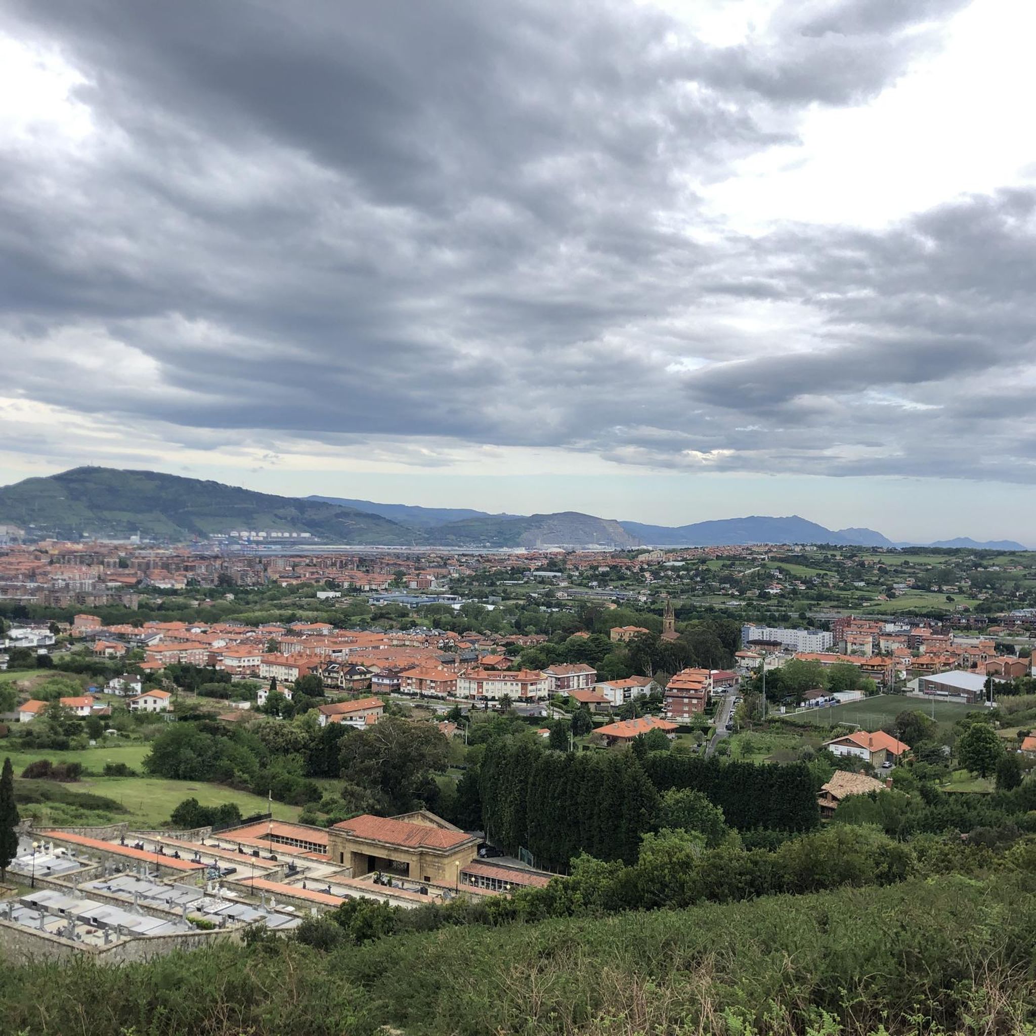
This 192-meter-high peak lies at the westernmost end of the Munarrikolanda Mountains. This mountain range is an important megalithic site stretching between the Saierri and Munarrikolanda mountains and contains a total of seven monuments (burial mounds and dolmens).
0
0
Definitely a highlight here. Shortly before the summit, a narrow single trail leads from the forest road to the summit, which is easy to miss...
0
0
A beautiful beach with high waves depending on the weather, also great for surfers (there's also a surf school)! There's a small swimming area with lifeguards on duty.
0
0
Graffiti Bunker on 2 levels with sea view
0
0


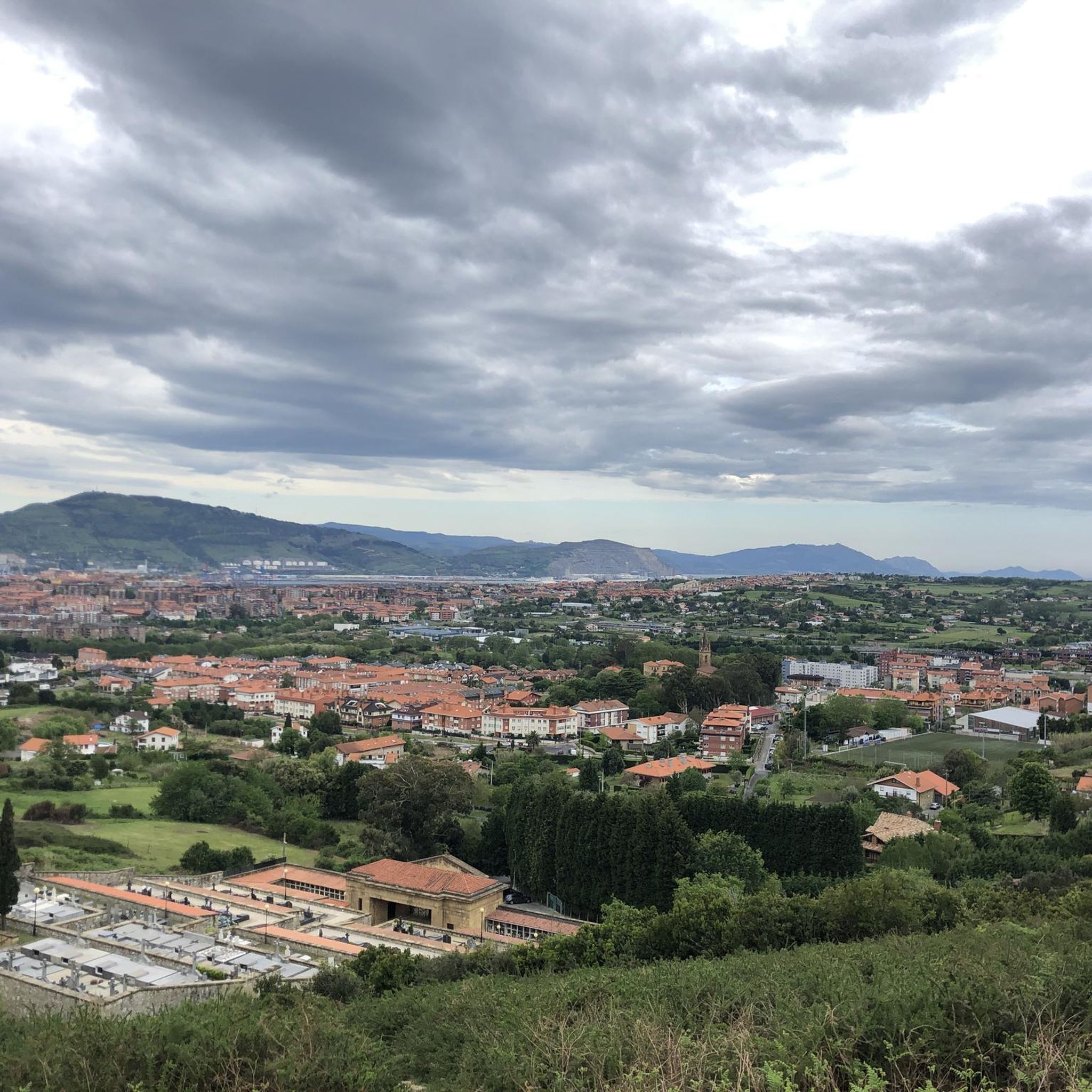
Nice place with benches for a rest. Views in both directions possible.
0
0
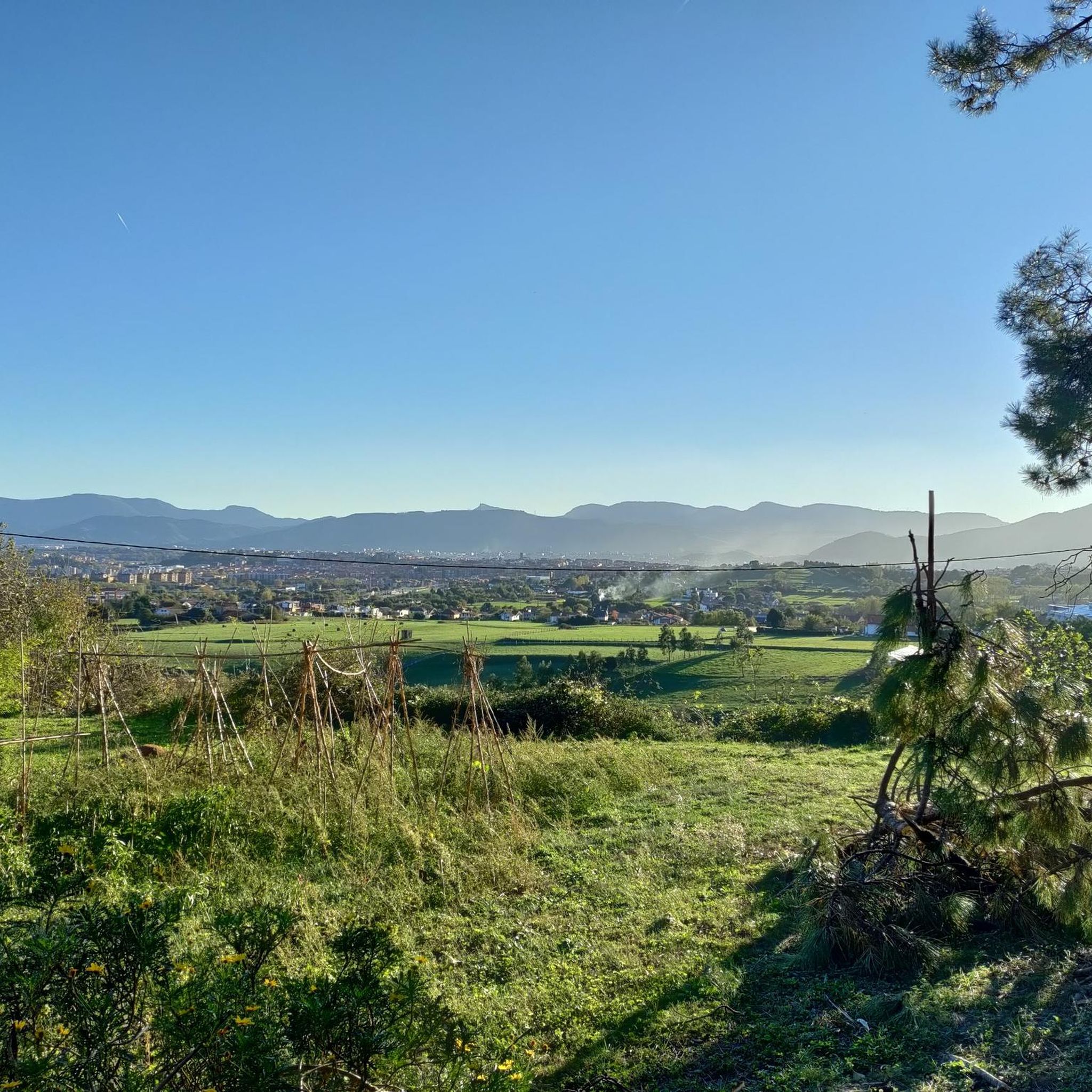
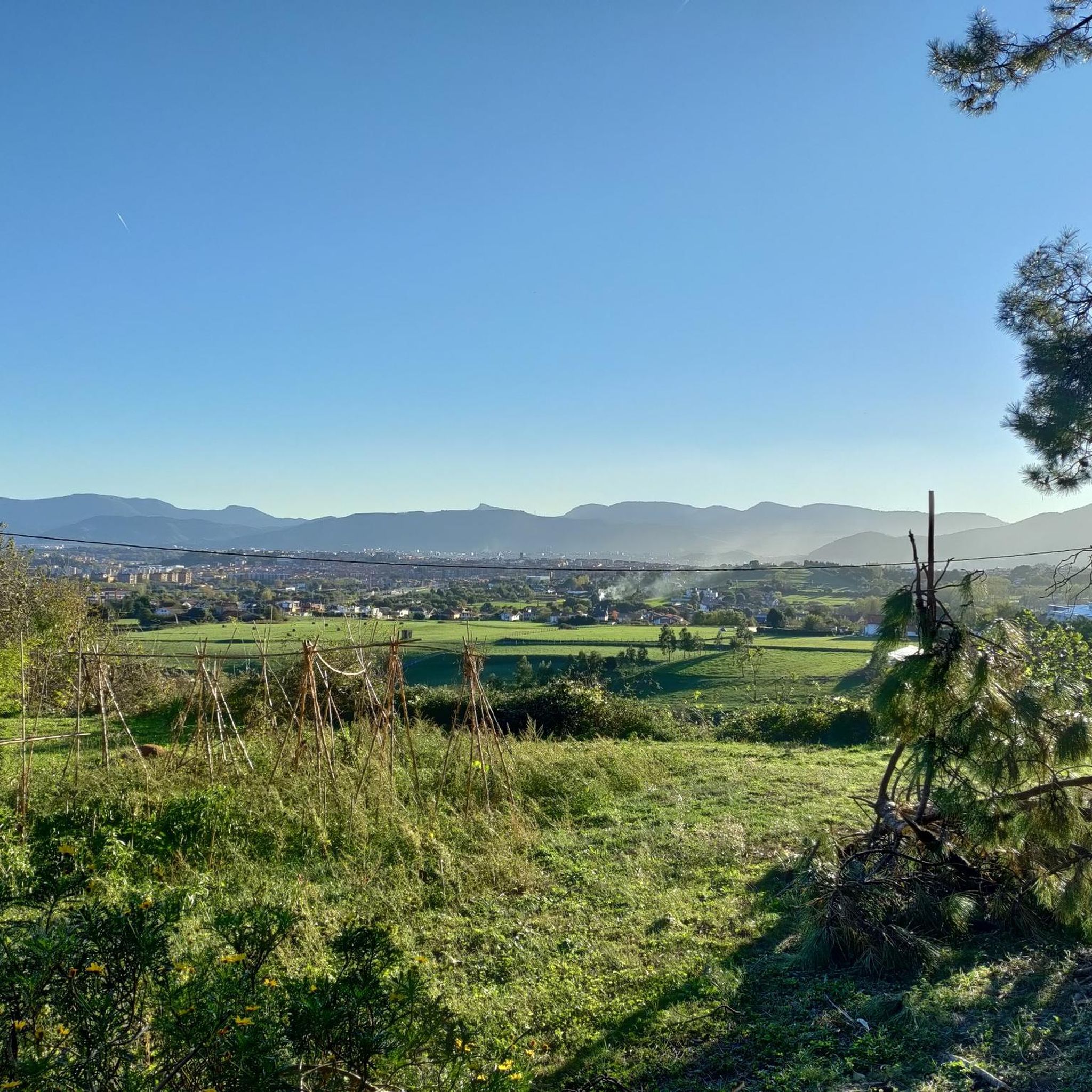
Panoramic views, highly recommended to visit the area.
1
0

The top of Mount Munarrikolanda (257 meters) is the highest in the Munarrikolanda mountain range. It hides a bunker from the Bilbao Iron Belt. That belt is a defense system that was built in the civil war to defend the city against enemy attacks.
0
0
Frequently Asked Questions
What kind of hiking trails can I expect around Berango?
Hiking around Berango offers a diverse landscape. You'll find paths traversing gentle hills like Munarrikolanda, Saiherri, and Agirremendi, as well as routes along the Gobela River plain. Additionally, Berango's excellent transport connections mean you can easily access coastal trails featuring dramatic cliffs and beautiful beaches, such as those near Sopela and Barrika.
How many hiking routes are available in the Berango area?
There are over 500 hiking routes around Berango listed on komoot. This includes a wide range of options: more than 200 easy trails, 250 moderate routes, and over 40 more challenging hikes, ensuring there's something for every fitness level.
What do other hikers enjoy most about the trails in Berango?
The trails in Berango are highly rated by the komoot community, with an average score of 4.5 stars from over 1,800 reviews. Hikers often praise the varied terrain, from coastal views to inland hills, and the well-maintained paths that cater to different abilities.
Are there any circular hiking routes near Berango?
Yes, Berango offers several excellent circular routes. For a coastal experience, consider the Punta Galea Cliffs – Gorrondatxe Beach loop from Ibarbengoa, which is a moderate 15.5 km path featuring significant coastal cliffs. Another popular option is the View of Barrika Cliffs – Txitxarropunta Cliffs loop from Larrabasterra, an 14.4 km trail with stunning coastal viewpoints.
What natural features or landmarks can I see while hiking in Berango?
Berango's hiking trails offer access to various natural and historical features. You can explore the gentle hills of Munarrikolanda, Saiherri, and Agirremendi, or discover the megalithic site of Munarrikolanda with its burial mounds and dolmen. Coastal routes provide views of beaches like Sopela Beach and Playa Muriola, and you can also find highlights such as Saierri Summit (192 m) or Karabezu Summit.
Are there any easy or family-friendly hikes around Berango?
Yes, Berango has over 200 easy trails suitable for families or those looking for a relaxed stroll. The gentle hills and river plains, particularly along the Gobela River, provide accessible and pleasant walking experiences. Many coastal paths are also relatively flat and offer beautiful scenery without strenuous climbs.
Can I bring my dog on the hiking trails in Berango?
Many trails in the Berango area are suitable for dogs, especially those in the more open landscapes of the hills and river plains. However, it's always recommended to keep dogs on a leash, especially in nature reserves or areas with livestock, and to check local regulations for specific beaches or protected areas you might pass through.
Are there any trails that offer great views?
Absolutely. The coastal trails are particularly known for their scenic vistas. Routes like the Faro de la Galea from Sopela offer stunning views of the coastline and the lighthouse. The trails around Punta Galea and Barrika Cliffs also provide expansive sea views and dramatic cliff scenery.
What is the best time of year to go hiking in Berango?
The Basque Country generally enjoys mild weather, making hiking pleasant for much of the year. Spring and autumn offer comfortable temperatures and lush landscapes. Summer is also popular, especially for coastal walks, though it can be warmer. Winter hiking is possible, but some higher or more exposed coastal paths might be windier or wetter.
Are there any historical sites or memory routes to explore?
Yes, Berango features the Iron Ring Memory Route, a 1.5 km trail that winds through the Arene industrial estate and up to the Areneburu hills. This route blends historical context with natural exploration, offering a unique perspective on the region's past.
Are there any lakes or reservoirs accessible via hiking trails?
While Berango itself is more known for its hills and coastal proximity, the wider region offers access to several water bodies. You can find highlights like Pozo Hostión, Gorostiza Reservoir, and the Lakes of the Old Iron Mines in the vicinity, which can be incorporated into longer hikes or visited as separate attractions.
Most popular attractions around Berango

Get inspired with the komoot mobile app


Explore more
Browse the best Hikes in other regions.
