The best walks and hikes around Macharaviaya
4.4
(517)
3,037
hikers
100
hikes
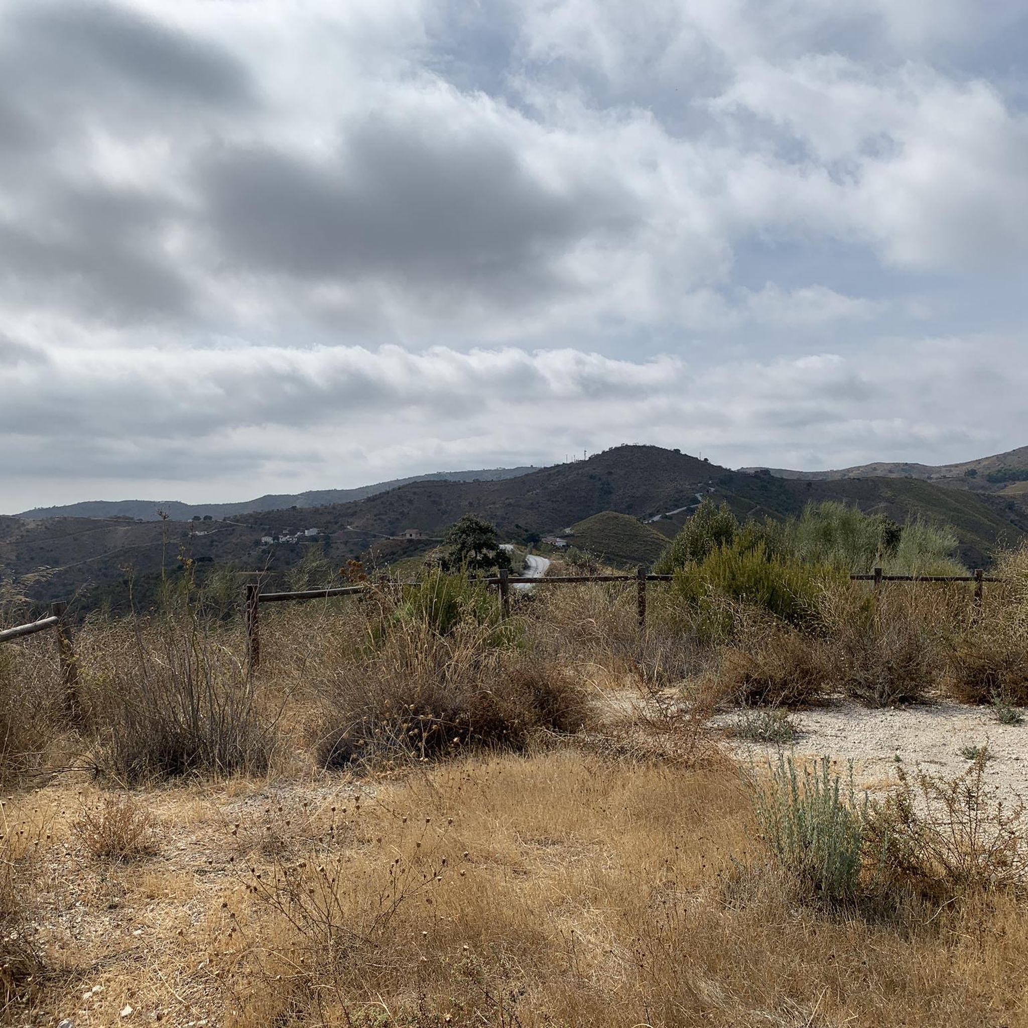
Hiking around Macharaviaya offers access to a landscape characterized by rolling hills, deep valleys, and traditional agricultural terraces. The region, located in the Axarquía, features olive groves, vineyards, and Mediterranean scrubland. Trails often connect small villages and provide views of the surrounding countryside.
Best hiking trails around Macharaviaya
- The most popular hiking route is Camino de Macharaviaya – Twisted Dead Tree Trunk loop from Chilches, a 2.5 miles (4.0 km) trail that takes 1 hour 16 minutes to complete.…
Last updated: July 5, 2026
4.2
(10)
24
hikers
4.04km
01:16
150m
160m
Moderate hike. Great for any fitness level. Mostly accessible paths. Sure-footedness required.
4.2
(10)
30
hikers
13.6km
04:17
520m
520m
Moderate hike. Good fitness required. Easily-accessible paths. Suitable for all skill levels.

Sign up for free
4.4
(11)
29
hikers
6.74km
02:09
290m
290m
Moderate hike. Good fitness required. Easily-accessible paths. Suitable for all skill levels.
4.4
(8)
23
hikers
9.04km
02:46
330m
330m
Moderate hike. Good fitness required. Easily-accessible paths. Suitable for all skill levels.
4.5
(4)
21
hikers
9.38km
02:54
340m
330m
Moderate hike. Good fitness required. Easily-accessible paths. Suitable for all skill levels.
Get access to more routes and recommendations from other explorers.
Sign up for free
Already have an account?
Our route recommendations are based on thousands of hikes, rides, and runs completed by other people on komoot.
Start today with a free account
Your next adventure awaits.
Login or Signup
Tips from the Community

Another beautiful village above Macharaviaya
0
0
The mules are used for production of Muscatel grapes. There is no mechanisation.
0
0

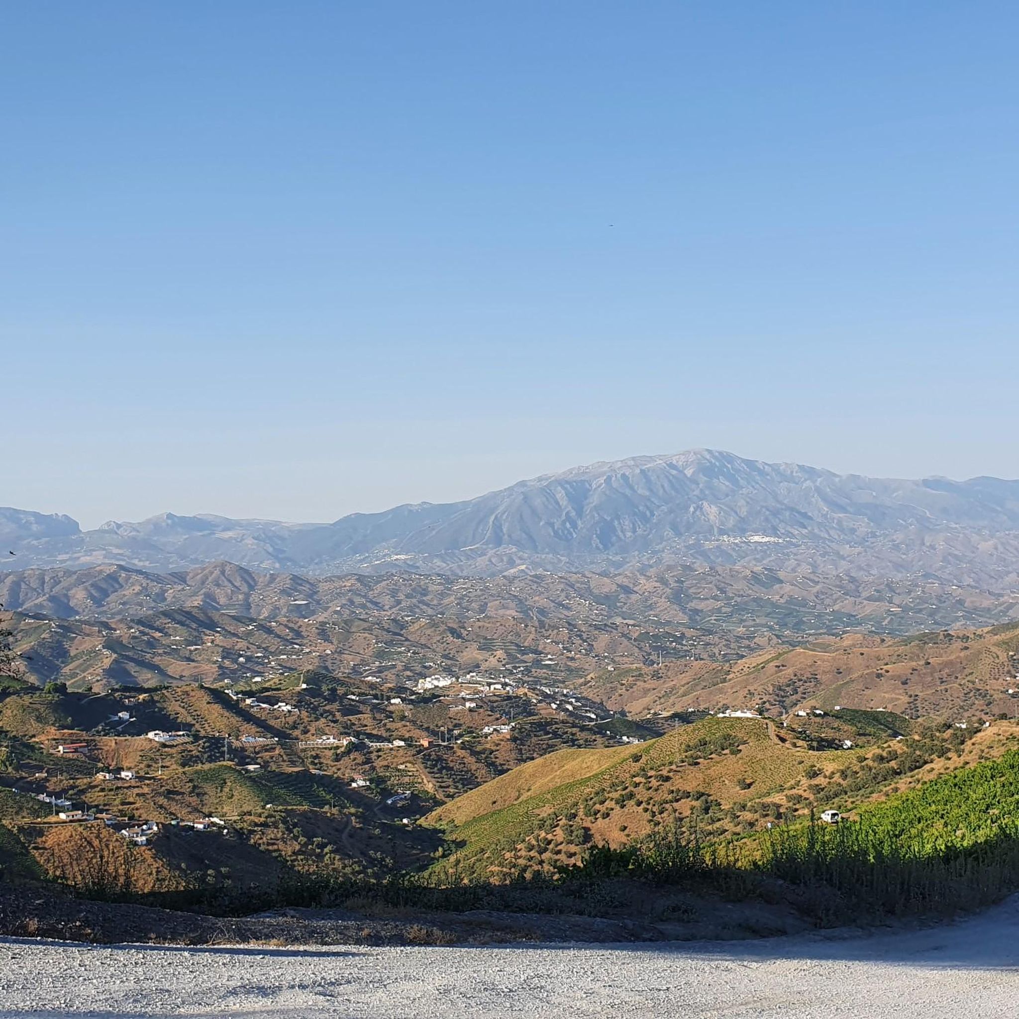
From up here I have a wonderful view of the Pico Tejera (La Maroma), the villages of Almáchar, El Borge and Comares, as well as Vélez Málaga, Torre del Mar and Iznájar.
1
1

The view from up here is sensational.
1
0


Macharaviaya is a municipality in Andalusia with an area of 7.24 km². Macharaviaya had a population of 461 at the last count. The village is built on the ruins of an old Moorish settlement on top of a mountain. The name is derived from Andalusi Arabic Machxar Abu Yahya, meaning Abu Yahya's Court. It was the home of the noble Gálvez family. The historic center of the village has a monument status. Some Spanish and foreign artists, ceramists, painters and writers live among the villagers.
14
0
Almáchar with its 1600 inhabitants is an authentic white village in southern Spain and is located 35 kilometers east of the city of Málaga in Andalusia. It is located at an altitude of 250 meters between the hills just behind the coast in the fertile region of La Axarquía.
13
0
Image highlighting the importance of the raisins for which Almáchar is so famous. Cutting off the loose raisins is very labour-intensive and is still done entirely manually. From mid-August to the end of September you will see whole families young and old doing this. The sound of the nippers comes from every house.
13
0
Frequently Asked Questions
How many hiking trails are available in Macharaviaya?
Macharaviaya offers a wide variety of hiking experiences, with over 100 trails documented on komoot. These routes cater to different skill levels, from easy strolls to more challenging moderate hikes.
Are there easy hiking options for beginners in Macharaviaya?
Yes, the region is very welcoming for beginners. There are over 40 easy routes available, perfect for those looking for a relaxed walk through the scenic countryside without significant elevation changes.
What kind of terrain can I expect on hikes in Macharaviaya?
The landscape around Macharaviaya is characterized by rolling hills, deep valleys, and traditional agricultural terraces. You'll encounter olive groves, vineyards, and Mediterranean scrubland. Trails often connect small villages and feature a mix of rural tracks and natural paths.
Are there any circular walks around Macharaviaya?
Yes, many trails in the region are designed as loops, allowing you to start and end at the same point. For example, the Gálvez Museum – Church of San Jacinto loop from Macharaviaya is a moderate 9 km route that offers a great circular experience.
What are some interesting landmarks or attractions I can see while hiking in Macharaviaya?
The area boasts several points of interest. You might encounter natural formations like the Cerro Salazar Geodesic Vertex or the Peñón del Cuervo rock formation. There are also cultural highlights such as the Comares Village, known for its hilltop location and traditional charm.
What do other hikers enjoy the most about hiking in Macharaviaya?
The komoot community highly rates the hiking experience in Macharaviaya, with an average score of 4.3 stars from over 400 reviews. Hikers often praise the diverse terrain, the charming village-to-village connections, and the panoramic views of the surrounding countryside.
Are there any dog-friendly trails in the Macharaviaya area?
While specific dog-friendly designations vary, many of the rural tracks and natural paths in Macharaviaya are suitable for walking with dogs, especially the less crowded routes. Always ensure your dog is under control and respect local regulations regarding pets in natural areas.
What is the best time of year to hike in Macharaviaya?
The Mediterranean climate of Macharaviaya makes hiking enjoyable for much of the year. Spring (March-May) and autumn (September-November) offer pleasant temperatures and lush landscapes. Winter can also be mild, while summer months might be very hot, making early morning or late afternoon hikes preferable.
Are there any long-distance hiking options or more challenging routes?
While many routes are moderate, you can combine trails for longer distances or seek out routes with more significant elevation gain. For example, the Gálvez Museum – Church of San Jacinto loop from Iznate is a moderate 13.6 km path, offering a longer day out with varied terrain.
Where can I find parking for hiking trails in Macharaviaya?
Parking is generally available in or near the villages that serve as trailheads, such as Macharaviaya itself, Almáchar, or Iznate. It's advisable to check specific route details on komoot for recommended starting points and parking information, especially for popular trails.
Are there cafes or places to eat near the hiking trails?
Many trails connect small villages in the Axarquía region, where you can often find local cafes and restaurants. These provide opportunities to refuel and experience local cuisine before or after your hike. It's a good idea to carry water and snacks, especially on longer routes.
Can I find trails that offer good viewpoints in Macharaviaya?
Absolutely. The hilly and varied terrain of Macharaviaya means many trails offer panoramic views of the surrounding countryside, including olive groves, vineyards, and distant mountains. Look for routes that traverse higher ground or ridge lines for the best vistas.
Most popular routes around Macharaviaya
Most popular attractions around Macharaviaya

Get inspired with the komoot mobile app


Explore more
Browse the best Hikes in other regions.
