The best walks and hikes around Robres Del Castillo
4.6
(79)
427
hikers
34
hikes
Hiking around Robres Del Castillo offers a diverse landscape characterized by river valleys, hills, and historical elements. The region features a mix of open terrain and areas with natural features like greenways and old mining trails. Elevation changes are present, providing varied hiking experiences.
Best hiking trails around Robres Del Castillo
- The most popular hiking route is Peña del Castillo and Cidacos Greenway Loop, a 4.3 miles (6.9 km) trail that takes 2 hours 1 minute to complete, featuring…
Last updated: May 11, 2026
4.9
(7)
30
hikers
6.86km
02:01
190m
190m
Hike the moderate 4.3-mile Peña del Castillo and Cidacos Greenway Loop, combining accessible greenway paths with rugged mountain views and h
4.5
(2)
11
hikers
12.1km
04:10
620m
620m
Moderate hike. Good fitness required. Mostly accessible paths. Sure-footedness required.

Sign up for free
4
hikers
14.5km
04:22
480m
480m
Explore the moderate 9.0-mile Mina de la Providencia, Barranco de San Martín, Barranco Rojo circular route, featuring caves and a gorge.
3
hikers
Moderate hike. Good fitness required. Easily-accessible paths. Suitable for all skill levels.
5.0
(1)
1
hikers
19.8km
05:46
550m
540m
Hard hike. Very good fitness required. Easily-accessible paths. Suitable for all skill levels.
Get access to more routes and recommendations from other explorers.
Sign up for free
Already have an account?
Our route recommendations are based on thousands of hikes, rides, and runs completed by other people on komoot.
Start today with a free account
Your next adventure awaits.
Login or Signup
Tips from the Community

Bridge over the Jubera River at the exit of Robres del Castillo. Built in the 16th century, it was recently restored and appears to be in good condition.
0
0

Arriving at the top of Cabezas we will find ourselves under a wind turbine - a modern windmill. At his feet is a small pile of stones that marks the top.
1
0
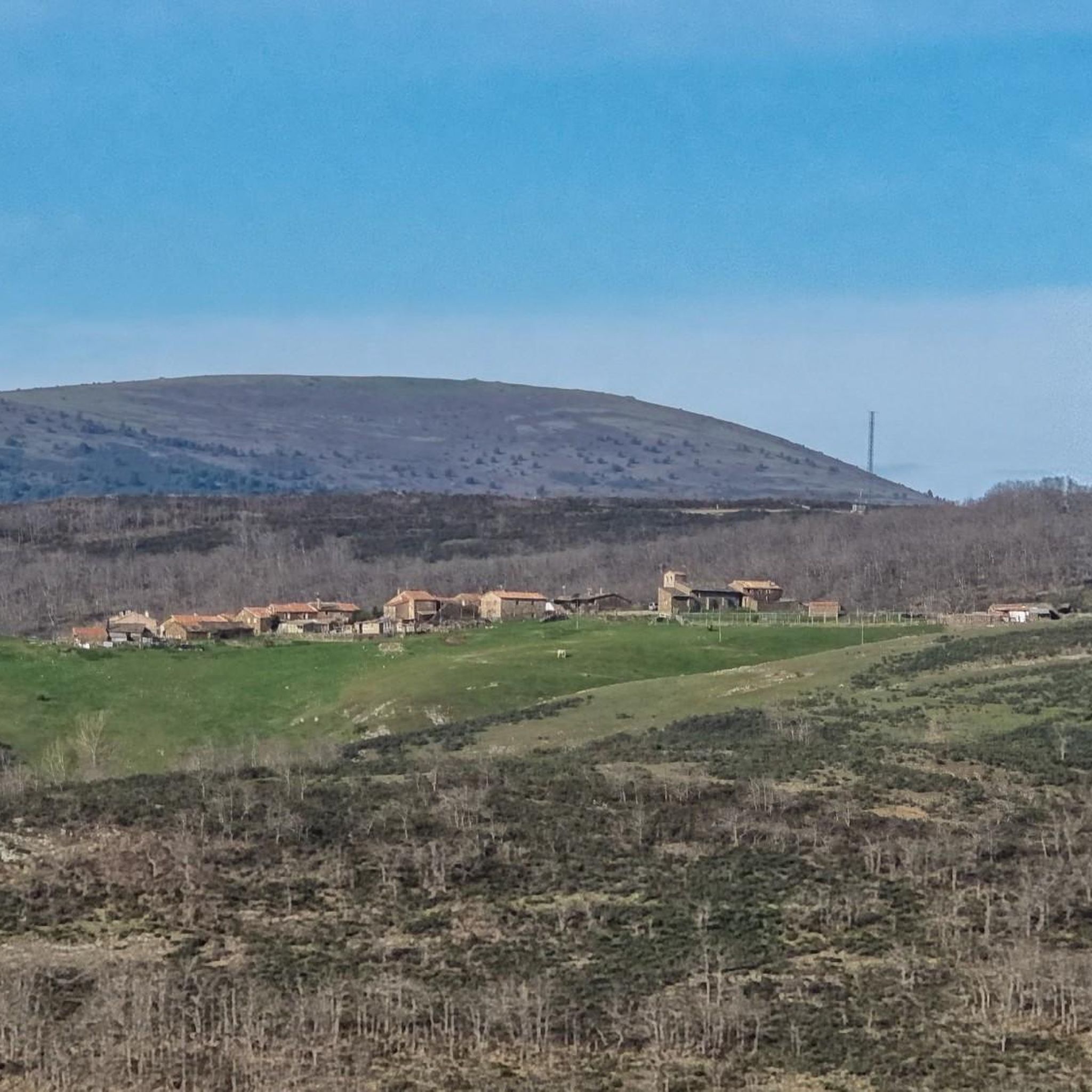
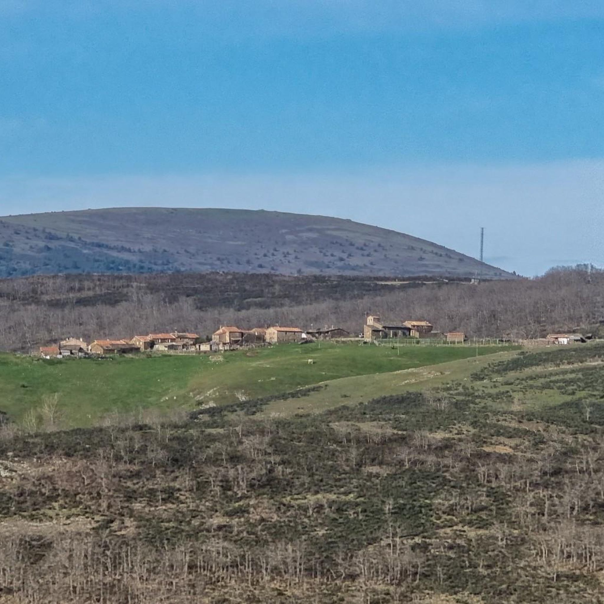
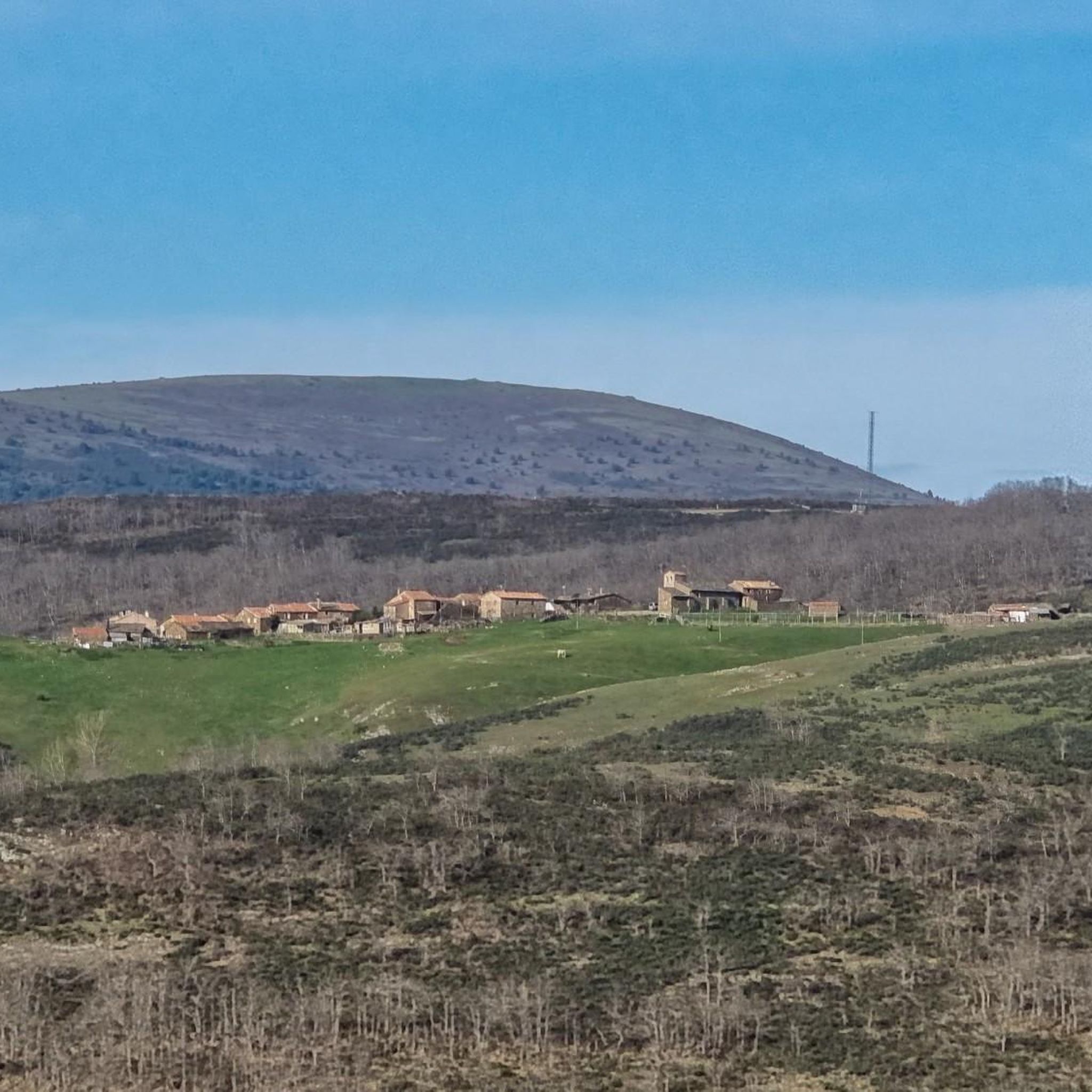
A small town lost in the mountains above the Jubera river valley. The views over the valley are incredible.
1
0
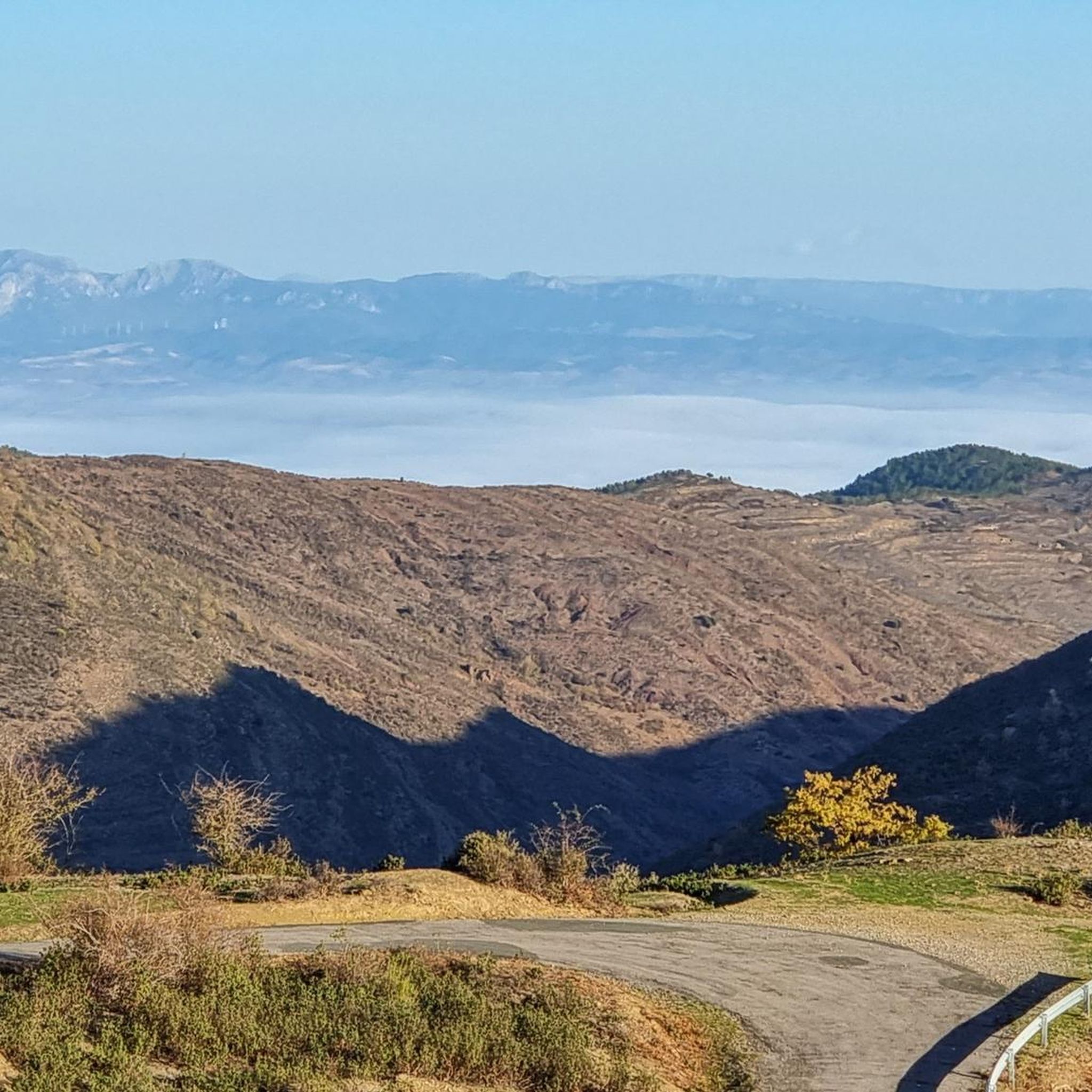
The top of Peñalmonte has a mailbox, and several painted in yellow on the rock, indicating danger and in another area the cardinal points. There is also a nativity scene with various figurines. The views are magnificent, in front of the Serralay and the Cabimonteros. Following the ridge you can see Peña Isasa and Moncayo behind. It is worth going up on a clear day, but without much heat.
0
0

Munilla is located at the foot of the Sierras de la Hez, Hayedo de Santiago and Cameros Viejos. It is famous for the many footprint sites found in its vicinity (around 900). The most important are those of "Peñaportillo" and "La Canal", which are 2 kilometers from Munilla and are easily accessible.
0
0

Beautiful hermitage carved into the rock, with a small grotto nearby.
2
0
Next to the Peñaportillo deposit. In addition to two life-size "bugs", it has a well-marked and protected trail with 31 footprints. It's impressive to see them.
2
0
Frequently Asked Questions
How many hiking trails are available in Robres Del Castillo?
Robres Del Castillo offers a diverse network of over 30 hiking trails. These include 11 easy routes, 22 moderate paths, and 1 challenging trail, catering to various skill levels and preferences.
Are there any family-friendly hiking options in Robres Del Castillo?
Yes, Robres Del Castillo has 11 easy routes that are suitable for families. These trails often feature gentle terrain and can be a great way to explore the region with children. Consider routes that incorporate greenways for a smoother experience.
Can I find circular hiking routes in the area?
Absolutely. Many trails in Robres Del Castillo are circular, allowing you to start and end at the same point. A popular option is the Peña del Castillo and Cidacos Greenway Loop, which offers a mix of greenway and historical sites.
What kind of natural attractions can I expect to see on the trails?
The region is rich in natural beauty. You can discover impressive gorges like Hoya de la Cueva and the Sierra de la Hez and Cidacos Valley. There are also natural monuments such as the Leza Canyon Viewpoint and the Pladortes Ichnite Site, which features dinosaur footprints.
Are there any waterfalls to visit while hiking?
Yes, you can find waterfalls in the vicinity. The route Cascada El Gallizo y San Vicente de Robres — circular desde Robres del Castillo specifically highlights a waterfall. Another notable one is the San Tuste Waterfall.
What is the best time of year to go hiking in Robres Del Castillo?
The best time for hiking in Robres Del Castillo is generally during spring and autumn when the weather is mild and the landscapes are vibrant. Summer can also be pleasant, especially in the mornings or late afternoons, but be prepared for warmer temperatures. Winter hiking is possible, but some higher or more exposed trails might require appropriate gear due to colder conditions.
Are there any challenging hikes for experienced trekkers?
Yes, for those seeking a challenge, there is at least one difficult route available. The Peredillo y Los Cabezas — circular desde Munilla por GR 93 is a longer, more demanding trail with significant elevation changes, offering a rewarding experience for experienced hikers.
What do other hikers say about the trails in Robres Del Castillo?
The trails in Robres Del Castillo are highly regarded by the komoot community, with an average rating of 4.6 stars from over 70 reviews. Hikers often praise the diverse landscapes, the historical elements like old mining trails, and the well-maintained greenways.
Are there opportunities for wild swimming near the hiking trails?
While not directly on every trail, the region's river valleys offer spots for refreshing dips. The Gollizo Pool (Jubera River) is a known natural swimming spot that can be accessed from certain areas, providing a chance to cool off after a hike.
What kind of wildlife might I encounter on the trails?
Robres Del Castillo's diverse landscape, including river valleys and forested areas, supports various wildlife. Hikers might spot birds of prey, small mammals, and a variety of insects and reptiles. Keep an eye out for local flora and fauna, especially in quieter sections of the trails.
Are there any historical sites or points of interest along the routes?
The region is rich in history. Many trails incorporate historical elements, such as old mining trails and castle areas. For example, the Peña del Castillo and Cidacos Greenway Loop passes by a historical castle area, offering glimpses into the past.
How long do hikes typically take in Robres Del Castillo?
Hiking durations vary significantly depending on the trail's length and difficulty. Shorter, easy routes might take around 1-2 hours, while moderate trails like the Ascent to Peñalmonte — circular from Arnedillo can take about 4 hours. Longer, more challenging routes could extend to 6 hours or more.
Most popular attractions around Robres Del Castillo

Get inspired with the komoot mobile app


Explore more
Browse the best Hikes in other regions.
