The best MTB trails around Santibáñez De Béjar
5.0
(1)
169
riders
36
rides
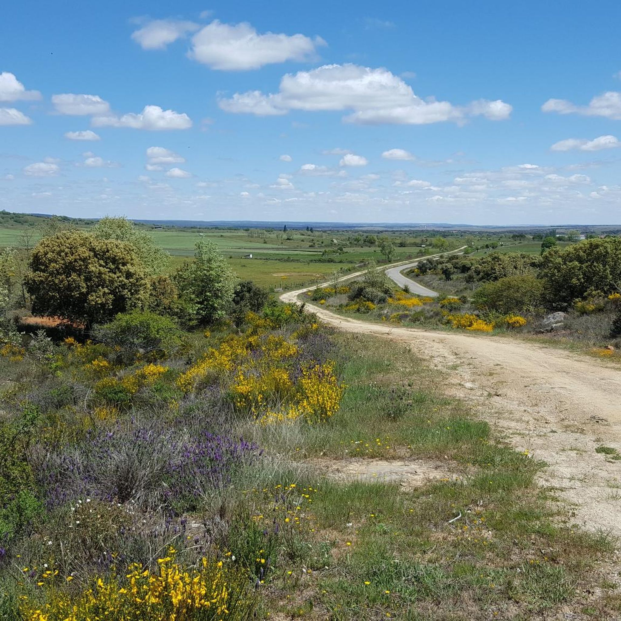
Mountain biking around Santibáñez De Béjar offers diverse landscapes within the Sierra de Béjar, a UNESCO Biosphere Reserve. The region features green forests of oak, chestnut, and ash, alongside steep mountainous terrain with elevations up to 2,425 meters. The Río Valvanera, a tributary of the Río Tormes, flows through the area, contributing to lush river valleys and varied cycling environments. This blend of high mountains and riverine landscapes provides a compelling setting for mountain bike trails.
Best mountain bike trails…
Last updated: July 1, 2026
26
riders
Hard mountain bike ride. Very good fitness required. Advanced riding skills necessary. Some portions of the route may require you to push your bike.
21
riders
47.3km
04:15
880m
880m
Hard mountain bike ride. Good fitness required. Advanced riding skills necessary. Some portions of the route may require you to push your bike.

Sign up for free
10
riders
75.6km
05:54
1,010m
1,010m
Hard mountain bike ride. Very good fitness required. Advanced riding skills necessary. Some portions of the route may require you to push your bike.
12
riders
62.4km
03:56
570m
570m
Moderate mountain bike ride. Good fitness required. Suitable for all skill levels.
10
riders
52.4km
04:55
1,090m
1,090m
Hard mountain bike ride. Very good fitness required. Advanced riding skills necessary. Some portions of the route may require you to push your bike.
Get access to more routes and recommendations from other explorers.
Sign up for free
Already have an account?
Our route recommendations are based on thousands of hikes, rides, and runs completed by other people on komoot.
Start today with a free account
Your next adventure awaits.
Login or Signup



Tips from the Community

The old Béjar railway station has been magnificently renovated and transformed into a multi-purpose center called "Estación Béjar Verde". Located along the route of the Camino Natural Vía de la Plata, it houses a bar-restaurant with a terrace, a 40-bed hostel, and offers bicycle and hiking rental services.
0
0

This section of the Cañada Real Soriana Occidental is very close to the Vía de la Plata route, so the surface is in very good condition. The surrounding landscape makes the effort of the path worthwhile.
0
0
The Tondo path is part of the western Cañada Real Soriana. This section runs through a beautiful oak grove that offers refreshment and some shade in the summer.
0
0

This is the tourist and gastronomic area of Guijuelo, considered the birthplace of acorn-fed Iberian ham with Protected Designation of Origin (PDO Guijuelo). More than 150 ham and cured meat producers are concentrated here. The cold, dry climate of the Sierra de Béjar favors a slow, natural curing process, giving the ham a sweeter, more unctuous flavor.
3
0
It is an old railway tunnel converted into a section of the Silver Greenway, which takes advantage of the old railway line between Béjar and Baños de Montemayor.
3
0
It is the only granite theme park in Spain, created to pay homage to the quarrying tradition of the municipality. It occupies a former quarry transformed into an artistic and natural space. Monumental sculptures made from granite blocks by the Salamanca artist Amable Diego. Recreations that evoke menhirs, dolmens, and megalithic structures, including the famous "Salamanca Stonehenge." Explanatory panels on the history of quarrying, from Roman roads to modern industry.
6
0

Thursday to Sunday - 10:00 a.m. to 2:00 p.m.
1
0
This tunnel crosses Béjar from its station and at the exit is the Textile Museum
1
0
Frequently Asked Questions
How many mountain bike trails are available around Santibáñez De Béjar?
There are over 35 mountain bike trails around Santibáñez De Béjar, offering a wide range of options for different skill levels. The broader Sierra de Béjar region boasts an extensive network of approximately 400 kilometers of routes.
What is the typical difficulty level of mountain bike trails in this area?
The mountain bike trails around Santibáñez De Béjar primarily cater to moderate and difficult skill levels. You'll find 21 moderate routes and 16 difficult routes, with no easy trails listed in the immediate vicinity. This reflects the mountainous terrain of the Sierra de Béjar.
Are there any circular mountain bike routes in Santibáñez De Béjar?
Yes, many routes in the area are circular. For example, you can explore the Guijuelo Jamón District loop from Antigua Estación de Guijuelo, a challenging 47.7 km ride, or the Charca de Tonda loop from Antigua Estación de Guijuelo, which is 46.1 km long. These loops allow you to start and finish in the same location.
What kind of terrain can I expect on the mountain bike trails?
The terrain is highly varied, transitioning between plains and mountains. You'll encounter green, leafy forests dominated by oak, chestnut, ash, and strawberry trees, as well as steep mountainous sections within the Sierra de Béjar. Some routes also incorporate segments of the historic Silver Way (Vía de la Plata), offering a mix of natural and historical paths.
What natural features or points of interest can I see while mountain biking?
The region is rich in natural beauty. You'll ride through diverse forests, including parts of the historic Bosque de Béjar, and along waterways like the Río Valvanera, a tributary of the Río Tormes. The Sierra de Béjar itself is a UNESCO Biosphere Reserve, offering stunning mountain views and varied ecosystems. For specific highlights, consider routes that pass near the Ponseca Bridge or the Puerto de Vallejera.
Are there any cultural or historical attractions along the mountain bike routes?
Yes, the area has historical significance. You might encounter segments of the ancient Roman road, the Silver Way (Vía de la Plata). The Ponseca Bridge, an old bridge near La Horcajada, is a notable historical landmark. Additionally, the region features vineyards and ancient cave wineries, reflecting centuries of local heritage.
What do other mountain bikers say about the trails in Santibáñez De Béjar?
The mountain bike trails in Santibáñez De Béjar are highly regarded by the komoot community, with an average rating of 3.5 stars. Over 200 mountain bikers have used komoot to explore the varied terrain, often praising the diverse landscapes and challenging routes within the Sierra de Béjar.
Is there parking available for mountain bikers?
While specific parking locations for each trail are not detailed, many routes, such as the Guijuelo Jamón District loop and the Charca de Tonda loop, start from Antigua Estación de Guijuelo, which typically offers parking facilities for visitors. It's advisable to check local information for specific starting points.
What is the best time of year for mountain biking in Santibáñez De Béjar?
The Sierra de Béjar region offers diverse conditions throughout the year. While winter can bring skiing opportunities at La Covatilla, spring, summer, and autumn generally provide excellent conditions for mountain biking. The lush forests are particularly vibrant in spring and autumn, and summer offers longer daylight hours, though it can be warmer.
Are there any mountain bike routes suitable for families or beginners?
The trails around Santibáñez De Béjar are predominantly classified as moderate to difficult. While the broader 'Cyclist Network' in the Sierra de Béjar caters to a range of skill levels, the routes directly listed for Santibáñez De Béjar do not include easy options. Beginners or families with young children might find these trails challenging due to significant elevation changes and technical sections.
Can I bring my dog on the mountain bike trails?
While many outdoor areas in Spain are dog-friendly, specific regulations for bringing dogs on mountain bike trails in the Sierra de Béjar UNESCO Biosphere Reserve can vary. It's always recommended to keep dogs on a leash, especially in protected areas, and to check local signage or park regulations before heading out to ensure a pleasant experience for everyone.
What is the longest mountain bike trail in the area?
One of the longest routes is the Detour to Guijuelo loop from Fuentes de Béjar, which spans 54.0 km and involves over 1000 meters of elevation gain, making it a challenging and extensive ride.
Most popular routes around Santibáñez De Béjar
Most popular attractions around Santibáñez De Béjar

Get inspired with the komoot mobile app


Explore more
Browse the best MTB trails in other regions.
