The best running trails around Villacarriedo
4.0
(2)
260
runners
28
runs
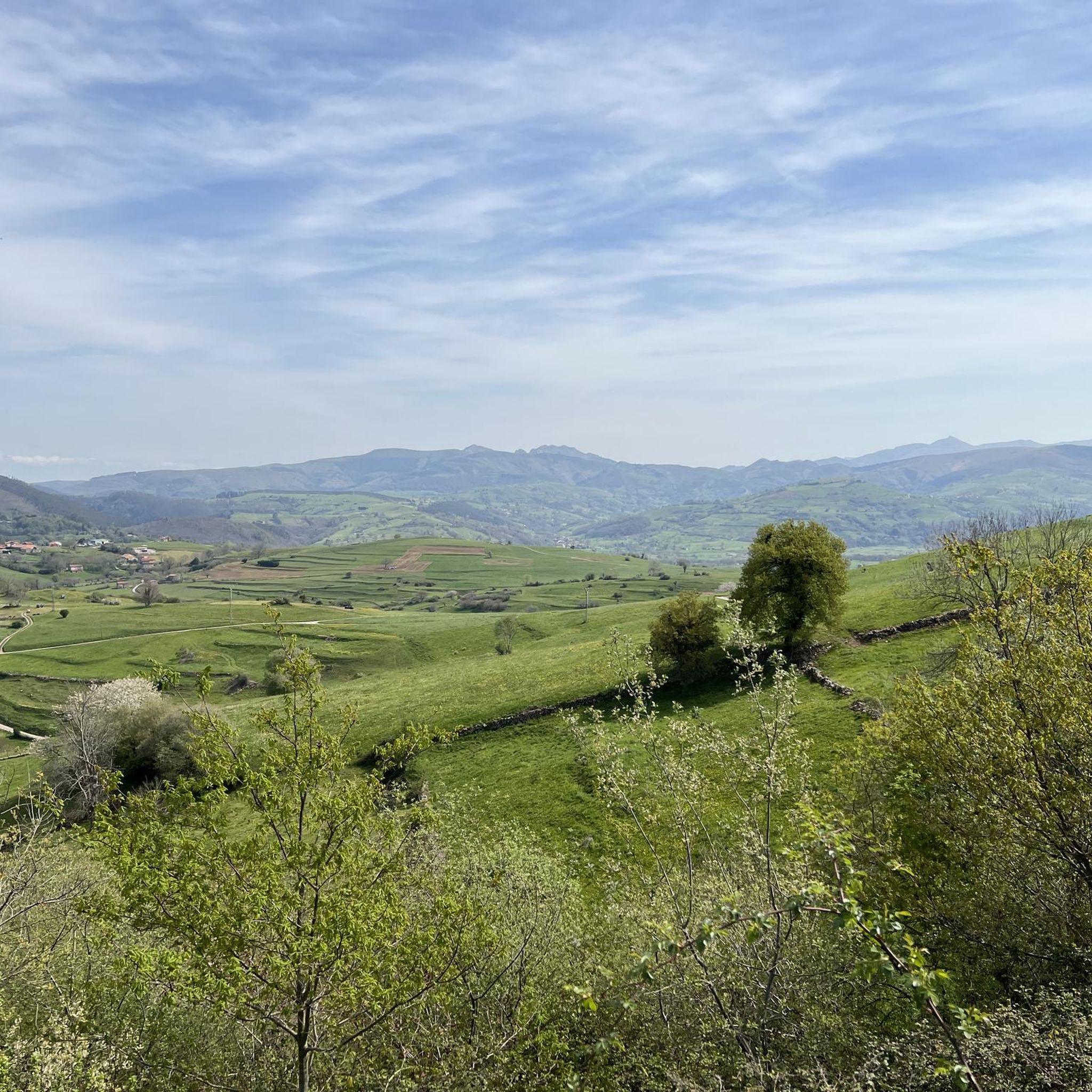
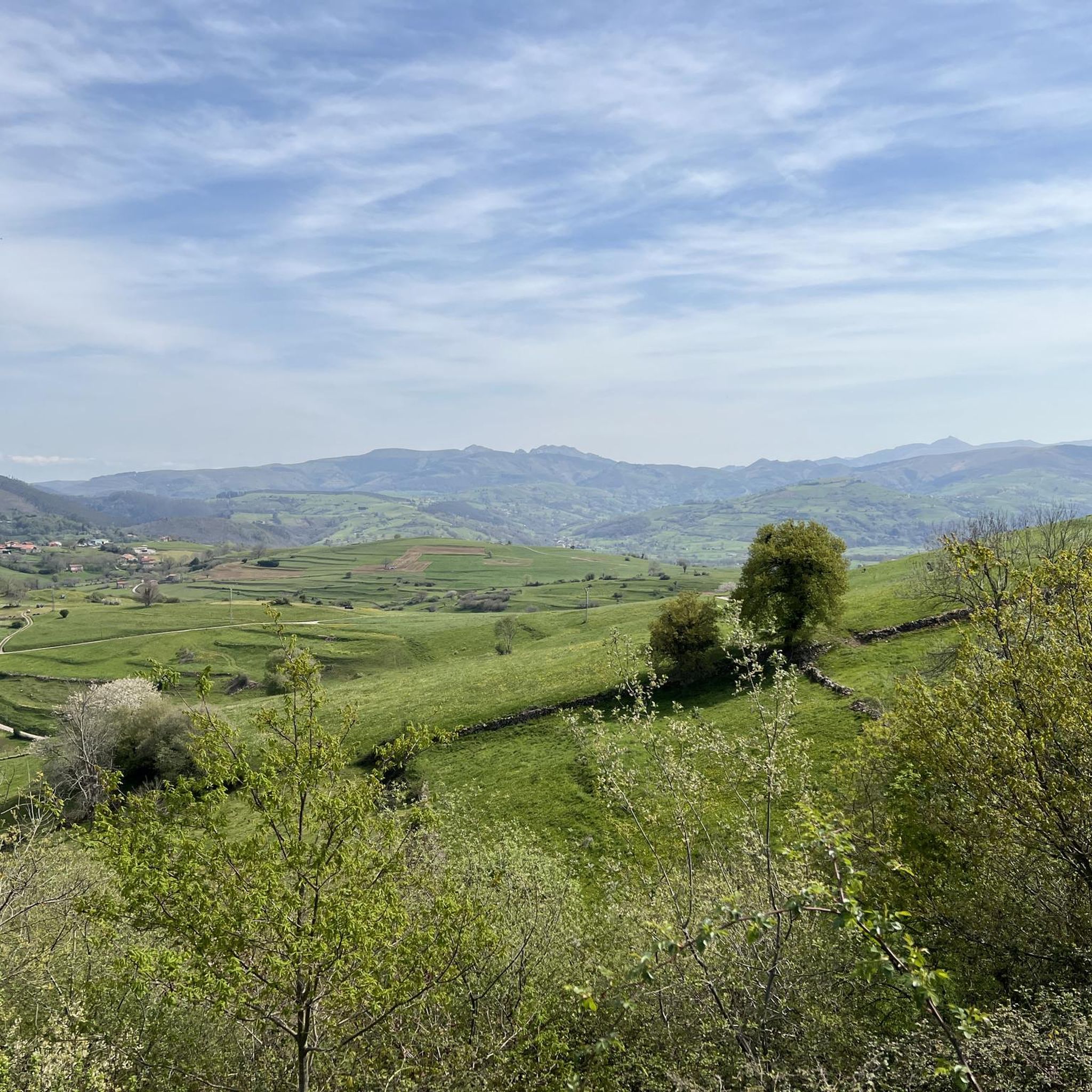
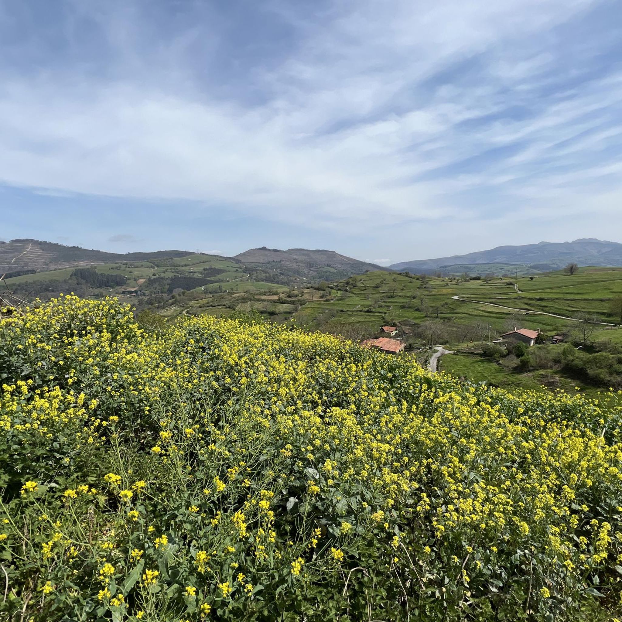
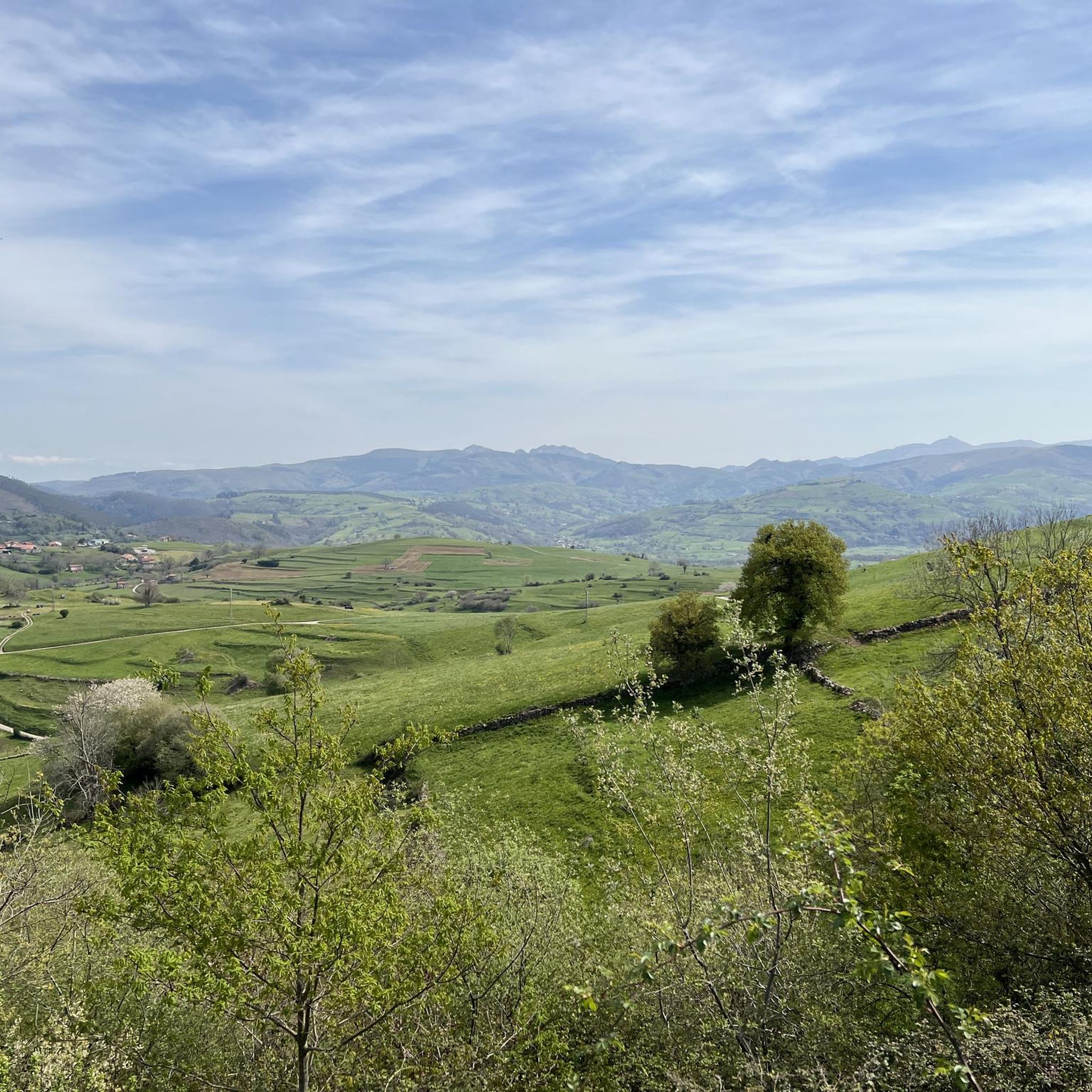
Jogging around Villacarriedo offers routes through the Valles Pasiegos, characterized by lush river valleys and green mountains. The terrain features fertile plains traversed by the Pisueña River, providing flat and gently undulating paths. Runners encounter traditional Pasiego landscapes with ever-green pastures, low walls, and cabins, alongside varied arboreal life including alders, oaks, and beeches. The region's natural features create a diverse backdrop for running, from riverside routes to more challenging uphill trails.
Best jogging routes around Villacarriedo
- The most popular jogging route is Yera and Aján Riverbanks Trail, a 6.0 miles (9.6 km) trail that takes 1 hour 13 minutes to complete. This moderate route follows the scenic riverbanks, offering a tranquil running experience.
- Another top favourite among local runners is Churrón de Borleña via the La Llana stream path, a moderate 2.5 miles (4.1 km) path. This route winds alongside a stream, providing a refreshing and engaging run through natural surroundings.
- Local runners also love the El Caballar loop from Santa María de Cayón, a 17.0 miles (27.4 km) trail leading through varied terrain, often completed in about 3 hours 25 minutes. This difficult route offers a longer, more challenging experience with significant elevation gain.
- Jogging around Villacarriedo is defined by lush river valleys, green mountains, and traditional Pasiego pastures. The network offers options for different ability levels, from gentle riverside paths to more demanding uphill trails.
- The routes in Villacarriedo are highly rated by the komoot community with an average score of 5.0 stars from over 1 review. More than 240 runners have used komoot to explore Villacarriedo's varied terrain.
Last updated: July 12, 2026
7
runners
4.07km
00:30
110m
110m
Moderate run. Good fitness required. Mostly paved surfaces. Suitable for all skill levels.
4
runners
9.62km
01:13
290m
290m
Moderate run. Good fitness required. Mostly paved surfaces. Suitable for all skill levels.

Sign up for free
30
runners
27.1km
03:23
1,010m
1,010m
Hard run. Very good fitness required. Mostly paved surfaces. Suitable for all skill levels.
20
runners
14.9km
01:33
50m
50m
Moderate run. Good fitness required. Mostly paved surfaces. Suitable for all skill levels.
19
runners
27.6km
03:29
1,020m
1,020m
Hard run. Very good fitness required. Mostly paved surfaces. Suitable for all skill levels.
Get access to more routes and recommendations from other explorers.
Sign up for free
Already have an account?
Our route recommendations are based on thousands of hikes, rides, and runs completed by other people on komoot.
Start today with a free account
Your next adventure awaits.
Login or Signup
Tips from the Community

Yera Station is an old railway station located in the municipality of Vega de Pas, Cantabria. It was part of the Santander-Mediterranean railway project, which was never completed. The station is abandoned and is located near the northern mouth of the Engaña Tunnel. In 2022, the Government of Cantabria approved a rehabilitation project to convert the station into a hostel, exhibition hall and restaurant, with the aim of promoting sustainable tourism in the area. This project also includes the creation of a cycle and pedestrian path to the tunnel.
4
0
The route to the tunnel begins at the ruins of the Yera station, near Vega de Pas. Along the way, you can see waterfalls, Pasiegan huts and remains of old barracks used by the Republican prisoners who worked on the construction of the tunnel. It is a route of approximately 18 km, well signposted and suitable for hikers of all levels.
4
0
The Aján River waterfalls in Vega de Pas, Cantabria, are a spectacular destination for nature and hiking lovers. The route that follows the course of the Aján River offers a succession of waterfalls, stone bridges and tunnels, surrounded by lush forests and green meadows.
5
0

It is striking to find this old station, in the middle of the mountains.
1
0

Just 2.5 km from the town of Borleña and following a very picturesque path and without difficulty, you reach this wonderful place that offers a beautiful landscape and a waterfall with a natural pool that in the summer months will be your ideal place to give yourself a refreshing bath.
1
0
Another symbol of the Santander-Mediterranean railway project, in this case the ruins of the abandoned Yera station is known as the last building built before the project was completely abandoned. Nearby there are other facilities that were designed for storage and a little further from here the small neighborhood that would house the engineers and staff that was never inhabited.
1
0
One of the several tunnels of the ambitious Santander-Mediterranean railway project that planned to unite the seas crossing the entire country and that was never finished but that at least today is being reconditioned to be able to enjoy its journey through wonderful places and landscapes. The Engaña tunnel is perhaps one of the most representative and recognized, with almost 17 km in length it is a clear example of the ambition of this project that was finally abandoned and in 1999 it was closed to the public as there were landslides just over 3km from its start and it is very dangerous.
2
0
For almost 3 km, the path that runs along the Aján riverbed from Yera to the Engaña tunnel, is a parade of waterfalls and very picturesque natural pools surrounded by a wonderful environment, none of them will go unnoticed!
3
0
Frequently Asked Questions
How many running routes are available around Villacarriedo?
There are over 29 running routes around Villacarriedo, offering a diverse range of experiences from moderate riverside paths to more challenging mountain trails. The komoot community has explored these routes over 240 times, highlighting the area's appeal for outdoor enthusiasts.
Are there any easy or flat jogging routes suitable for beginners or families in Villacarriedo?
While many routes are moderate, the region's fertile plains along the Pisueña River offer gently undulating paths. For a relatively flat experience, consider routes that follow the river valleys, providing a serene and accessible run through the traditional Pasiego landscape.
What kind of natural features can I expect to see while jogging in Villacarriedo?
Jogging routes in Villacarriedo take you through lush river valleys, green mountains, and traditional Pasiego landscapes with ever-green pastures. You'll encounter varied arboreal life, including alders, oaks, and beeches, and experience the serene flow of the Pisueña River.
Are there any notable landmarks or attractions along the running routes?
Yes, several routes offer views of significant landmarks. For instance, you might pass by the magnificent Baroque Palacio de Soñanes or the historic Colegio de los Padres Escolapios. The area also features unique natural highlights such as the Churrón de Borleña Waterfall and various viewpoints like Pico Lindaro, offering stunning panoramic vistas.
Can I find circular running routes in Villacarriedo?
Yes, there are several circular running routes available. For example, the challenging El Caballar loop from Santa María de Cayón offers a longer, more demanding experience. Another option is the Vía Verde del Pas loop from Santa María de Cayón, which provides a moderate circular path.
Are there any dog-friendly running trails in the Villacarriedo area?
Many of the natural trails and rural paths in the Valles Pasiegos are suitable for running with dogs. However, it's always recommended to keep your dog on a leash, especially when passing through pastures with livestock or near roads, to ensure safety and respect local regulations.
What do other runners say about the jogging routes in Villacarriedo?
The running routes in Villacarriedo are highly rated by the komoot community, with an average score of 5.0 stars from over 1 review. Runners often praise the diverse terrain, from tranquil riverside paths to challenging uphill sections, and the immersive experience amidst traditional Cantabrian rural life.
Are there any routes that feature waterfalls or significant water bodies?
Yes, the region is characterized by its river valleys. The Churrón de Borleña via the La Llana stream path winds alongside a stream, leading towards the notable Churrón de Borleña Waterfall, offering a refreshing and scenic run.
Where can I find parking for the running trails in Villacarriedo?
While specific parking details vary by trailhead, Villacarriedo and its surrounding villages like Santa María de Cayón typically offer public parking areas. For routes starting from specific points, it's advisable to check the individual route details on komoot for the most convenient parking options.
What is a good moderate running route to try in Villacarriedo?
A great moderate option is the Yera and Aján Riverbanks Trail. This 6.0-mile (9.6 km) route follows scenic riverbanks, providing a tranquil and engaging running experience through the natural surroundings.
Are there any challenging running routes for experienced runners?
Absolutely. For those seeking a more demanding experience, the El Caballar loop from Convento de San Francisco de El Soto is a difficult 27.6 km (17.1 miles) trail with significant elevation gain, offering a robust challenge and rewarding views.
What is the best season for running in Villacarriedo?
Villacarriedo's 'ever-green pastures' and lush landscapes suggest that running is enjoyable across many seasons. Spring and autumn offer pleasant temperatures and vibrant scenery, while summer provides longer daylight hours. Even in winter, the green mountains maintain their appeal, though conditions may vary.
Most popular attractions around Villacarriedo

Get inspired with the komoot mobile app


Explore more
Browse the best Running Trails & Routes in other regions.
