The 6 Most Amazing Peaks around Golmayo
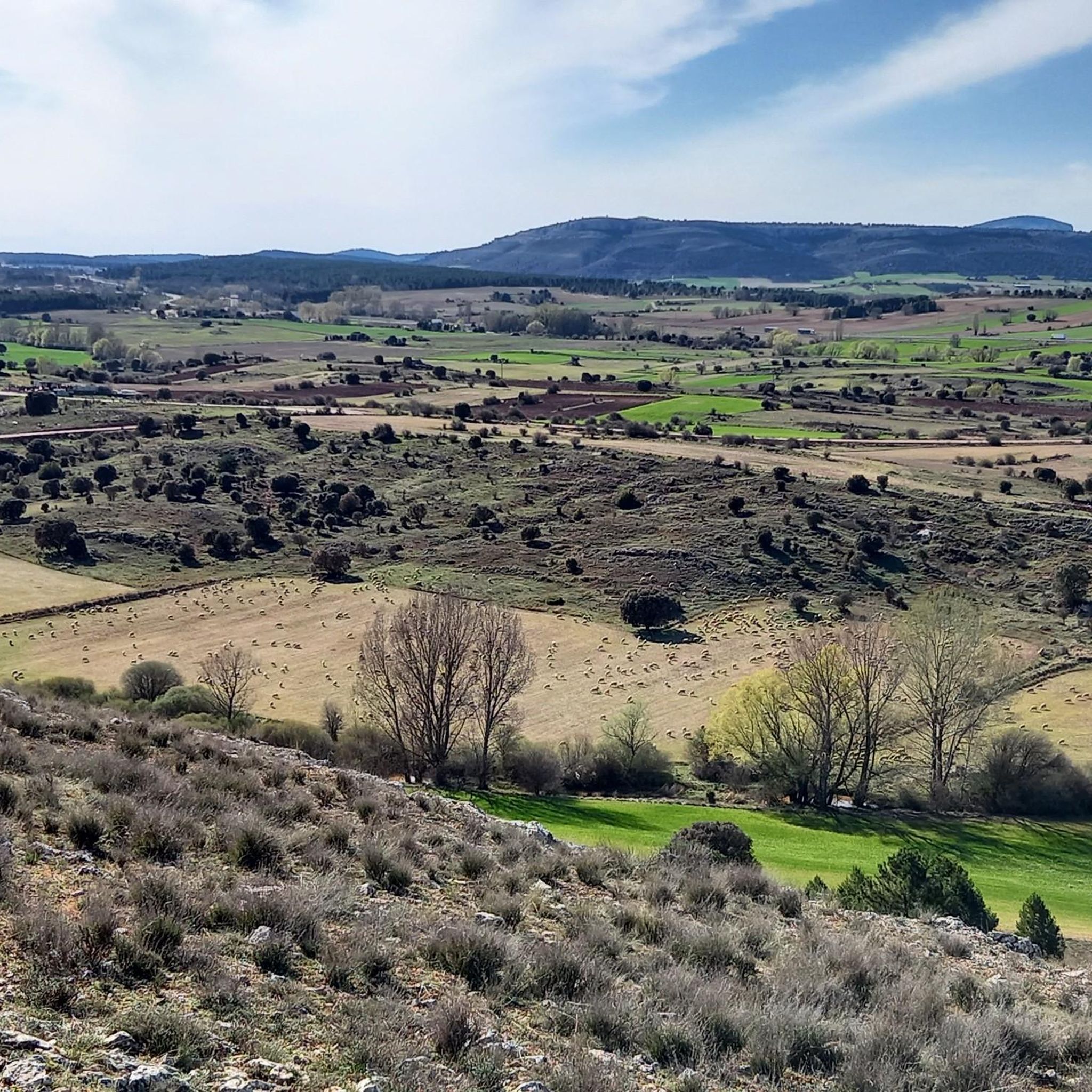
Mountain peaks around Golmayo, a municipality in Soria, Spain, offer diverse landscapes characterized by mountainous terrain and river plains. The region features prominent elevations such as Pico Frentes and Hinodejo, which are part of the Sierra de Hinodejo and Sierra de San Marcos ranges. These areas provide opportunities to explore natural features and experience the local geography. The municipality's relief includes several significant peaks, contributing to its varied outdoor environment.
Best mountain peaks around Golmayo
- The most popular mountain peaks…
Last updated: August 22, 2026
Pico Frentes
Highlight • Summit
The easiest option to go up is …
Translated by Google •
Tip by

View from Cerro de Santa Ana
Highlight • Viewpoint
Translated by Google •
Tip by
Sign up now to discover places like this
Get recommendations on the best single tracks, peaks, & plenty of other exciting outdoor places.
Sign up for free
Alto de la Risca Summit
Highlight • Summit
From its summit there is a spectacular view from the Cuerda del Pozo reservoir to Soria to …
Translated by Google •
Tip by
Peña de la Sierpe
Highlight • Summit
It is accessed by a gravel path that by bike may require some effort
Translated by Google •
Tip by
Alto del Pie Wind Turbines
Highlight • Structure
If you are going to climb by bike, …
Translated by Google •
Tip by
Sign up for free to discover even more peaks around Golmayo.
Sign up for free
Already have an account?
Start today with a free account
Your next adventure awaits.
Login or Signup

Tips from the Community

A beautiful high altitude route, it requires a certain effort and skill.
1
0

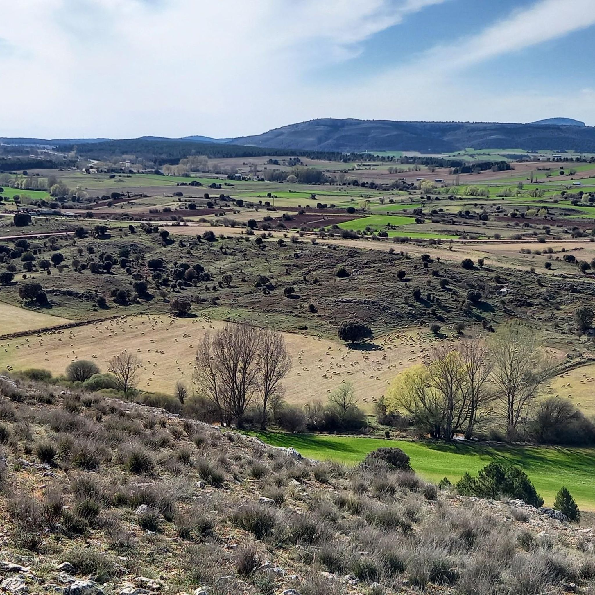
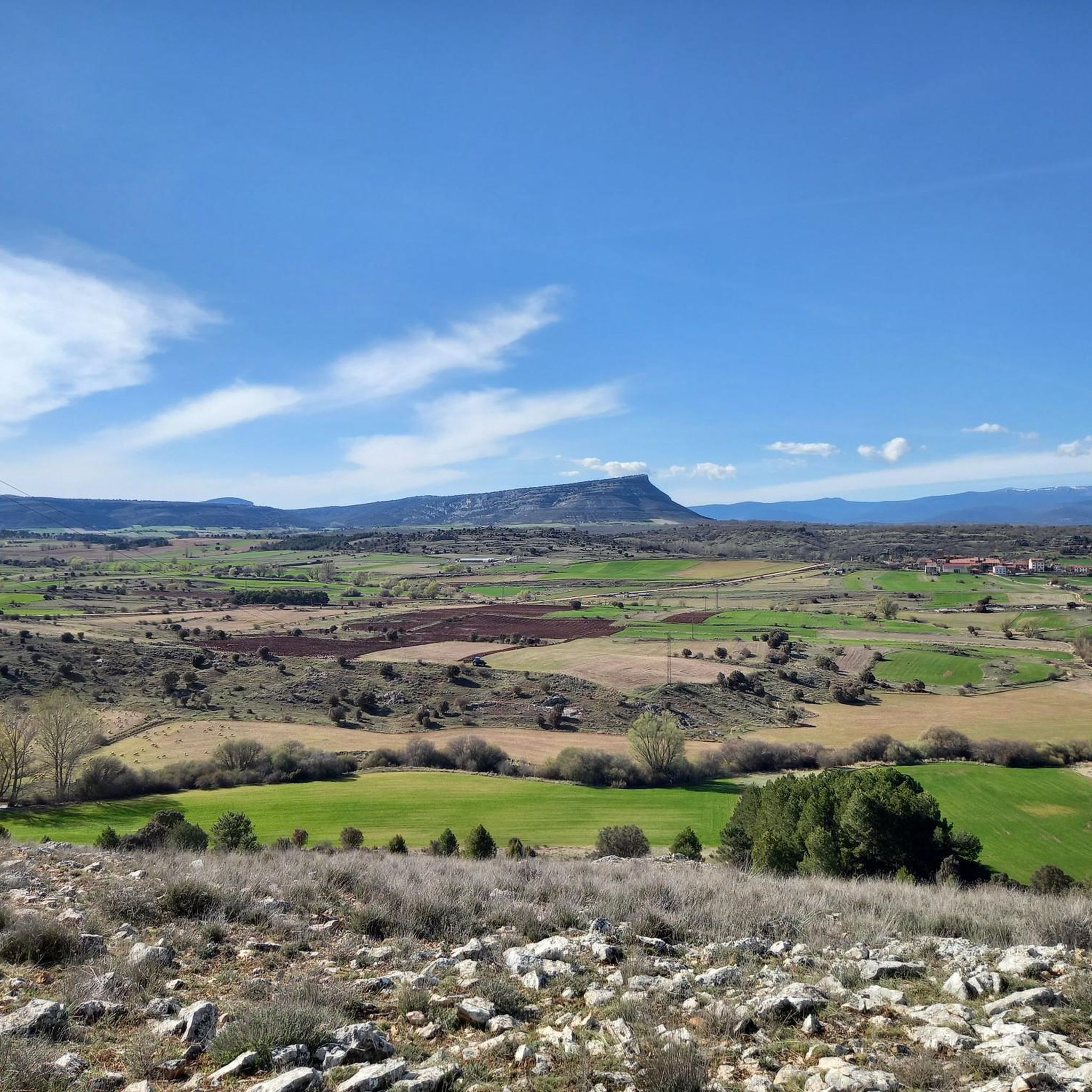
Located in the Sierra Llana and near the town of Fuentetoba, at 1,382 meters above sea level we are in Pico Frentes, with wonderful 360 degree views. We can see the peaks of Urbión, Cebollera, Piqueras, Pinar Grande, Valonsadero, Soria, Golmayo, Camaretas, and further down the Madero, Moncayo, Sierra de Toranzo, Tablado, etc.
2
0

It is the highest point of Mount Valonsadero and from above you can enjoy pleasant views of the surroundings. It is accessed by a gravel path that by bike may require some effort
2
0

Nice track and direct from the Hermitage of San Saturio.
4
0
It can be reached on foot by bike or even by car (although the grace lies in arriving on its own merit). If you are going to climb by bike, the most complicated part is the last climb up the slope, but it is worth it for the views from above and for the windmills above. The day day I went up to quite windy and it was impressive to see them in movement.
3
0
The Pico Frentes is located at the eastern end of the Sierra de Cabrejas and is well known for its size and shape. The easiest option to go up is following the path that starts from the Fuentetoba urbanization that takes you practically to the geodesic vertex from where you can contemplate an impressive panoramic view of Soria.
7
0
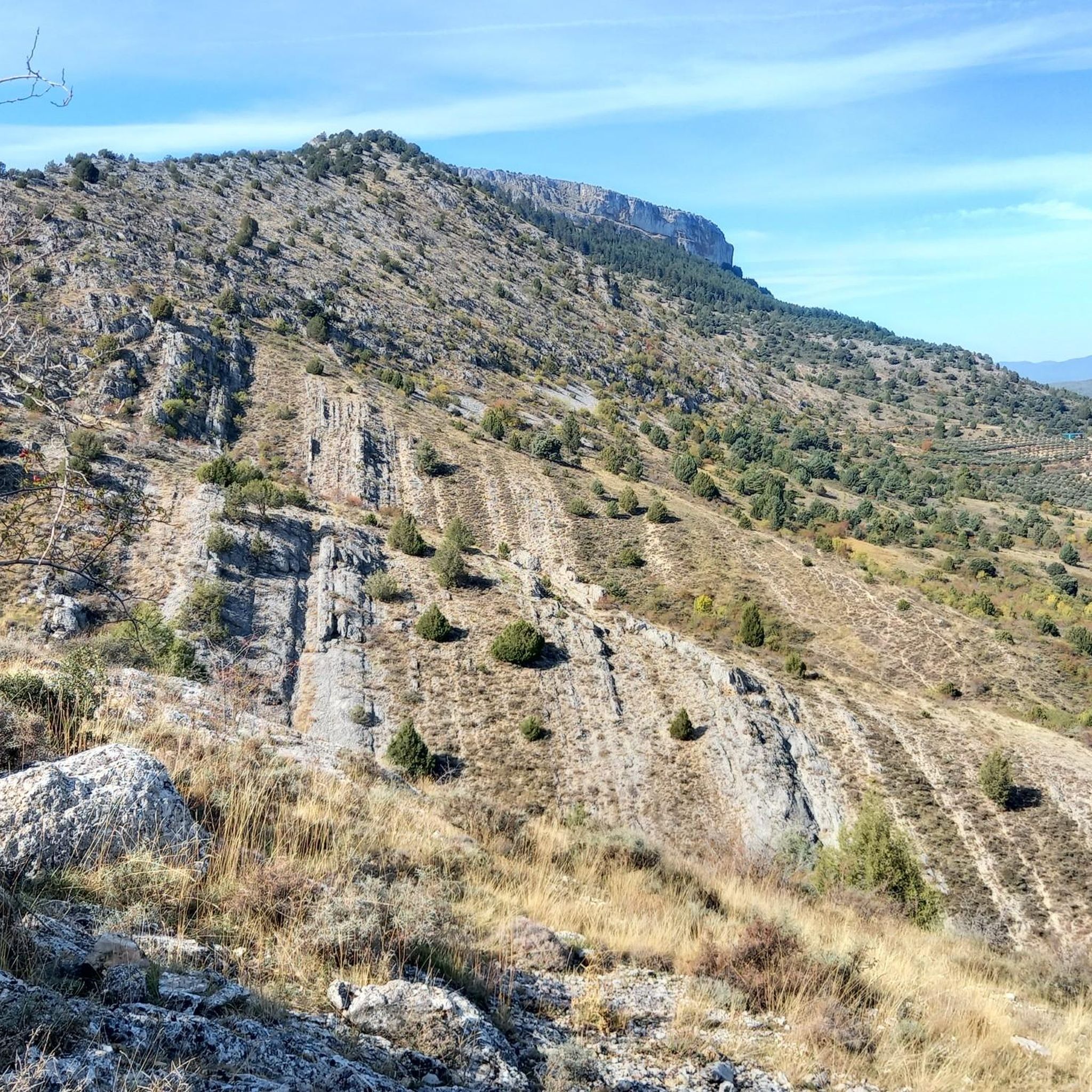
It is the highest peak of the Sierra de Cabrejas having 1433 meters. From its summit there is a spectacular view from the Cuerda del Pozo reservoir to Soria to the east. Going up is not very complicated, I went up the Viñuela path to Los Castillejos and from there I went up a narrow pass to the top.
5
0
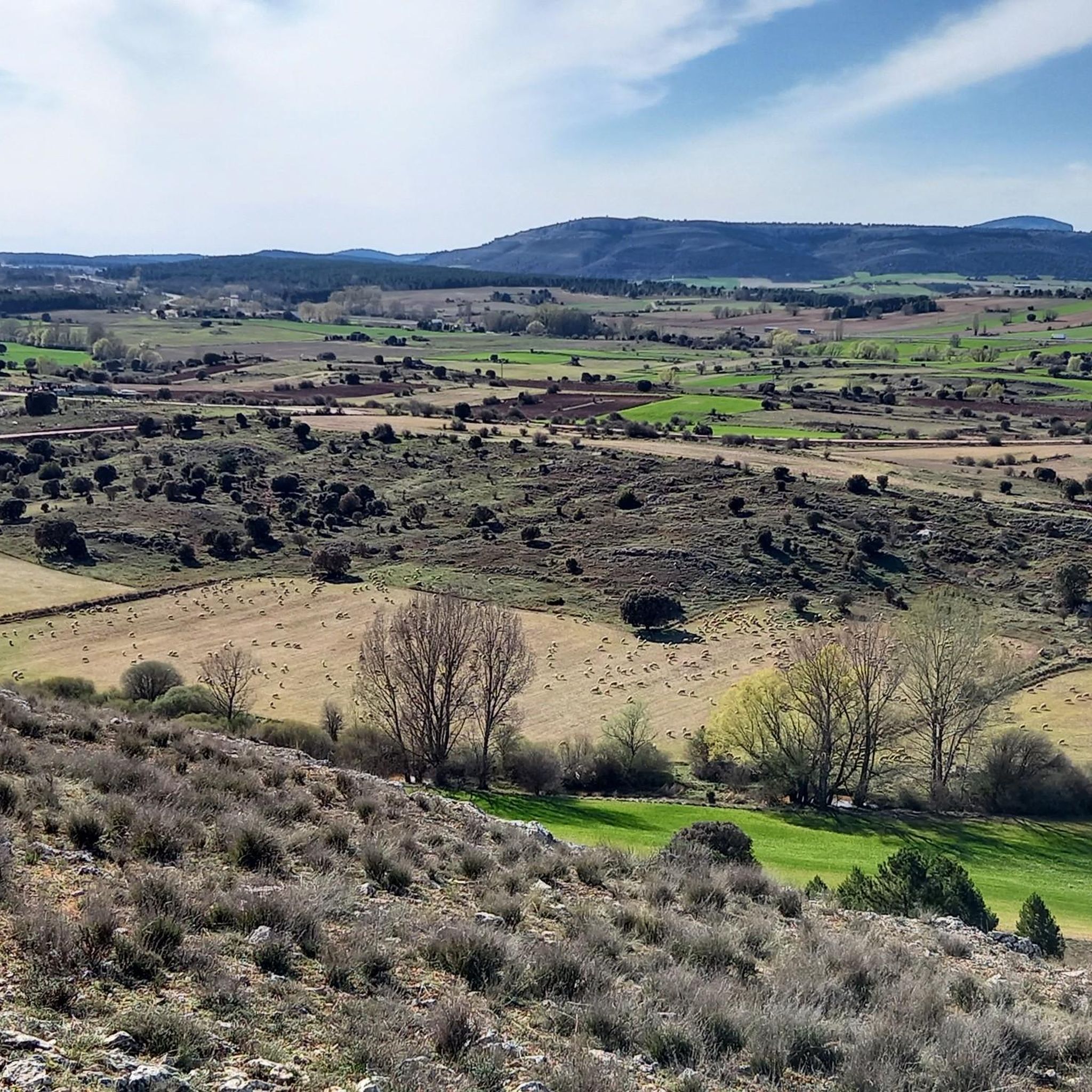
It is a viewpoint that is located at the top of the hill of the same name. I recommend coming here because you can enjoy beautiful views of Soria and all its surroundings and mountains. It is easy to get here since you can walk up several trails from Soria or by car from the Cadosa industrial estate.
6
0
Frequently Asked Questions
What are the most notable mountain peaks in the Golmayo region?
The Golmayo region features several significant peaks. Pico Frentes, reaching 1,382 meters, is known for its accessible hiking and panoramic views. Another important peak is Hinodejo, at 1,374 meters, located to the south. Additionally, the Alto de la Risca Summit is the highest peak of the Sierra de Cabrejas at 1,433 meters.
What kind of views can I expect from Pico Frentes?
From the summit of Pico Frentes, you can enjoy impressive 360-degree panoramic views. These include distant peaks like Urbión, Cebollera, and Moncayo, as well as the city of Soria and the surrounding landscape.
Are there any unique natural features near Pico Frentes?
Yes, Pico Frentes is home to some unique natural wonders. The Golmayo River originates beneath the peak, forming an impressive waterfall over 20 meters high known as La Toba. The mountain also serves as a backdrop to Monte Valonsadero, a vast natural area cherished for recreation.
What is the easiest way to hike Pico Frentes?
The easiest option to ascend Pico Frentes is by following a path that starts from the Fuentetoba urbanization. This path leads almost directly to the geodesic vertex, offering a relatively straightforward hike.
What other viewpoints are there around Golmayo besides the main peaks?
You can visit the View from Cerro de Santa Ana, a viewpoint located at the top of a hill of the same name. It offers beautiful views of Soria and its surrounding mountains and is easily accessible via several trails from Soria or by car.
What is the highest point in the Sierra de Cabrejas?
The highest point in the Sierra de Cabrejas is the Alto de la Risca Summit, reaching an elevation of 1,433 meters. From its summit, you can enjoy spectacular views stretching from the Cuerda del Pozo reservoir to Soria.
Are there any family-friendly hiking options near Golmayo's peaks?
While specific family-friendly trails for all peaks are not detailed, the path to Pico Frentes from Fuentetoba is described as easy, making it a good option for families. Monte Valonsadero, near Pico Frentes, also offers a vast natural area for recreation that can be explored with family.
What outdoor activities can I do near these mountain peaks?
The region around Golmayo offers various outdoor activities. You can find numerous routes for gravel biking, road cycling, and general cycling. For example, there are several moderate to difficult gravel biking routes around Golmayo, such as the 'Toledillo Train Stop – Cidones Railway Halt loop from Soria'. You can explore more options on the Gravel biking around Golmayo, Road Cycling Routes around Golmayo, and Cycling around Golmayo guide pages.
Is there parking available for accessing the mountain trails?
For Pico Frentes, the easy path starts from the Fuentetoba urbanization, suggesting accessibility for parking in that area. The View from Cerro de Santa Ana is also accessible by car from the Cadosa industrial estate.
What is Peña de la Sierpe and what does it offer?
Peña de la Sierpe is the highest point of Monte Valonsadero. From its summit, you can enjoy pleasant views of the surroundings. It is accessed by a gravel path, which might require some effort if cycling.
Can I reach the Alto del Pie Wind Turbines, and what is it like?
Yes, the Alto del Pie Wind Turbines can be reached on foot, by bike, or even by car. The last climb can be challenging, especially by bike, but the views from above and seeing the windmills in motion are considered very rewarding.
What is the best time of year to hike the mountain peaks around Golmayo?
While specific seasonal recommendations for Golmayo are not provided, generally, spring and autumn offer pleasant temperatures for hiking in mountainous regions of Spain. Winter hiking conditions can vary and may require specific gear due to snow or ice at higher elevations.
Most popular routes around Golmayo
Most popular attractions around Golmayo

Get inspired with the komoot mobile app


Explore more
See even more amazing summits around Golmayo with these guides:
