The best walks and hikes around Carbajales De Alba
5.0
(5)
21
hikers
5
hikes
Hiking around Carbajales De Alba offers diverse terrain characterized by significant hydrological features and varied natural landscapes. The region features the immense Ricobayo Dam and its reservoir on the Esla River, providing panoramic views within a deep geographical depression. Hikers can explore river valleys like the Aliste and the Montes de Cantadores mountain range, with the area also bordering the Parque Natural de los Arribes del Duero. These elements combine to create a landscape suitable for various hiking experiences.
Best hiking trails around Carbajales De Alba
- The most popular hiking route is Route of the Perones and Cadozos waterfall — circular from Ricobayo de Alba, a 4.8 miles (7.8 km) trail that takes 2 hours 10 minutes to complete. This route features a seasonal waterfall and views of the Ricobayo Reservoir.
- Another top favourite among local hikers is Castillo de Alba de Aliste Trail, a moderate 4.9 miles (8.0 km) path. This trail leads to the ruins of Alba de Aliste castle, offering historical interest along the way.
- Local hikers also love the Alba Castle – Castle of Alba de Aliste loop from Los Milanos, a 4.3 miles (6.9 km) trail leading through rural landscapes, often completed in about 1 hour 57 minutes.
- Hiking around Carbajales De Alba is defined by river gorges, expansive reservoirs, and river valleys. The network offers options for different ability levels, from easy walks to more challenging routes.
- The routes in Carbajales De Alba are highly rated by the komoot community with an average score of 4.3 stars from 6 reviews. More than 26 hikers have used komoot to explore Carbajales De Alba's varied terrain.
Last updated: June 30, 2026
5.0
(4)
10
hikers
Moderate hike. Good fitness required. Easily-accessible paths. Suitable for all skill levels.
5.0
(1)
2
hikers
3.44km
00:57
60m
60m
Easy hike. Great for any fitness level. Easily-accessible paths. Suitable for all skill levels.

Sign up for free
2
hikers
7.95km
02:13
160m
150m
Moderate hike. Good fitness required. Easily-accessible paths. Suitable for all skill levels.
Hard hike. Very good fitness required. Easily-accessible paths. Suitable for all skill levels.
4
hikers
6.91km
01:57
150m
150m
Easy hike. Great for any fitness level. Easily-accessible paths. Suitable for all skill levels.
Our route recommendations are based on thousands of hikes, rides, and runs completed by other people on komoot.
Start today with a free account
Your next adventure awaits.
Login or Signup
Popular around Carbajales De Alba
Tips from the Community

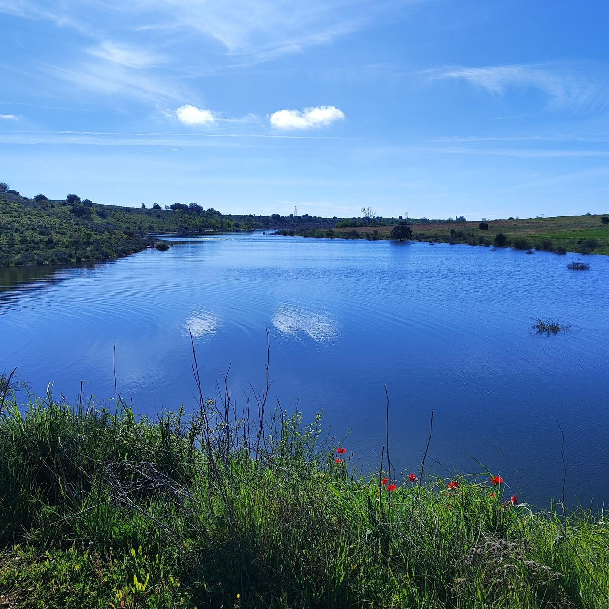
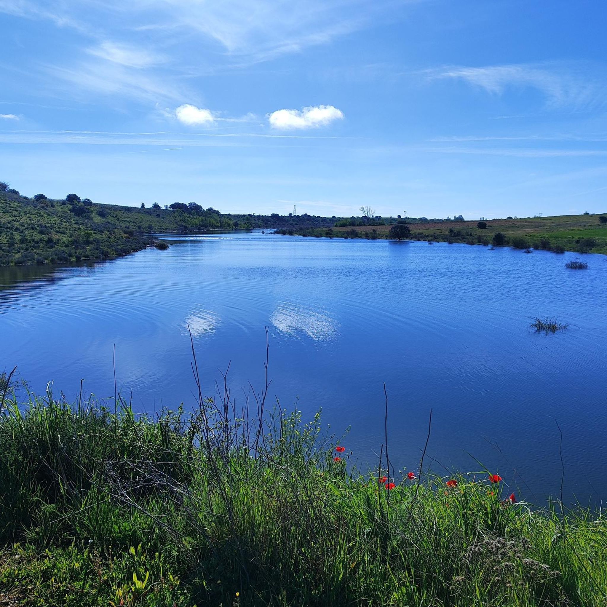
The Ricobayo Reservoir, also known as Salto de Ricobayo or Embalse del Esla, is an impressive hydroelectric engineering project located on the Esla River, less than 1 km from Ricobayo de Alba, in the municipality of Muelas del Pan. The reservoir is located in the area known as the Arribes del Esla, a deep geographic depression with spectacular landscapes.
1
0
Although not officially called the "Ribadelago Dam," the Ricobayo Dam is the most prominent dam in Muelas del Pan and is part of the Esla River hydroelectric system. The dam connects Ricobayo and Muelas del Pan, and its construction completely transformed the local landscape, even forcing the relocation of the Visigothic church of San Pedro de la Nave.
1
0
The Cadozos Waterfall, located in Muelas del Pan (Zamora), is a little-known but very special natural spot, ideal for hiking and nature lovers. It's a seasonal waterfall, meaning its flow depends on rainfall, being most spectacular in spring or after days of heavy rain.
1
0

Visigothic church (7th century) of San Pedro de la Nave. It originally stood on the banks of the Esla River, but the construction of the Ricobayo reservoir threatened to flood it. Historian Manuel Gómez Moreno managed to have it dismantled from its original location and moved stone by stone between 1930 and 1932 to the nearest town: El Campillo, where it can be seen today.
0
0
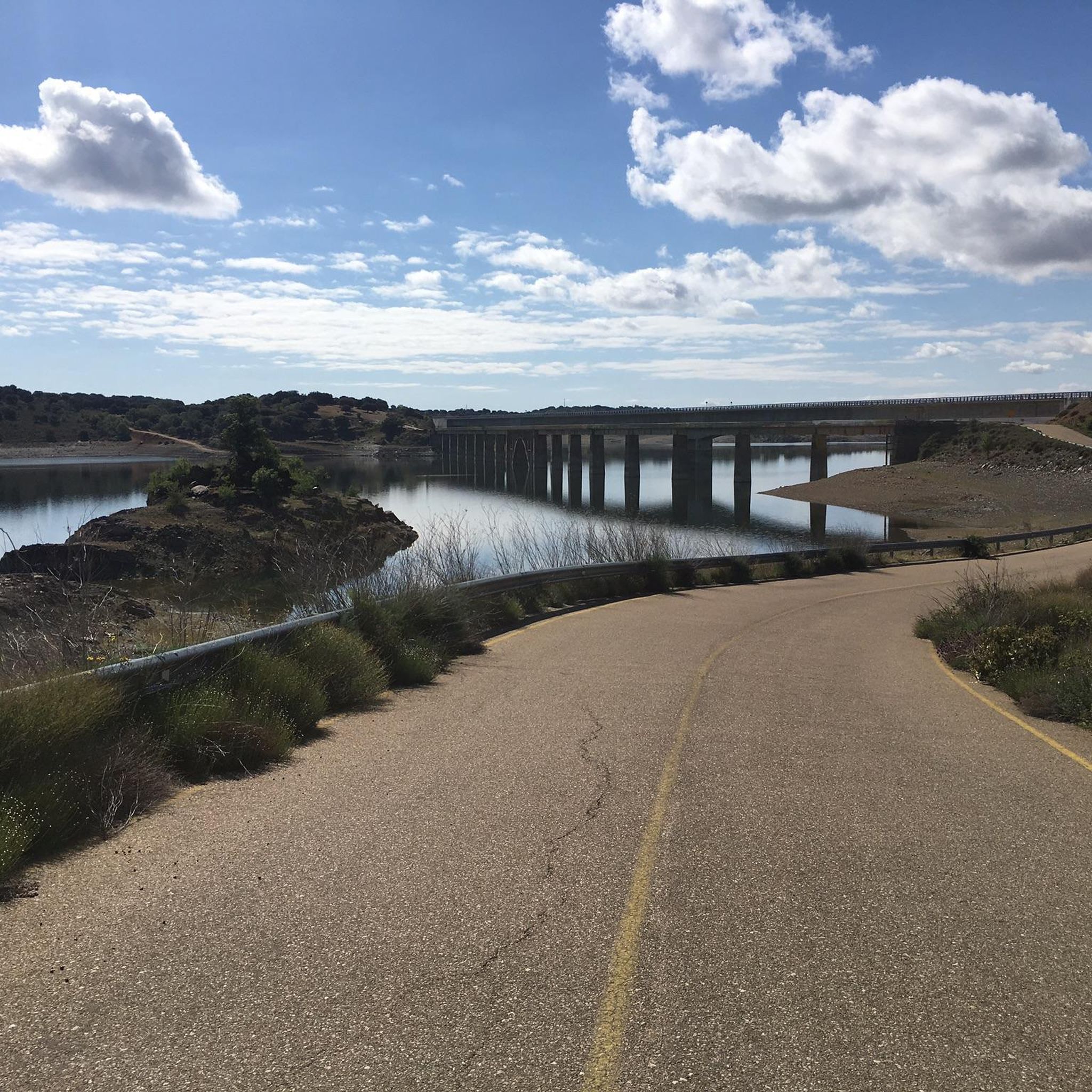
This bridge was built following the construction of the Ricobayo Reservoir.
0
0
The Church of San Pedro de la Nave is a 7th century Visigoth temple located in the town of El Campillo, municipality of San Pedro de la Nave-Almendra, in the province of Zamora, Spain. It was declared a National Monument on April 22, 1912. The construction of the temple dates back to the end of the 7th century and the beginning of the 8th century, possibly between the years 680 and 711, which makes it one of the last works of Visigothic art. Originally, it was located on the banks of the Esla River, but when the Ricobayo reservoir was built, it was moved stone by stone to the current location.
3
0
The Aliste River is a watercourse that originates in the Sierra de la Culebra, in the district of San Pedro de las Herrerías, in the province of Zamora, Spain. Along its route, it passes through the towns that make up the valley of the region that bears its name. Some of these towns include Mahíde, Las Torres de Aliste, Pobladura de Aliste, Palazuelo de las Cuevas, San Vicente de la Cabeza, Bercianos de Aliste, Flores de Aliste, Gallegos del Río, Domez, Vegalatrave, Vide de Alba, El Castillo de Alba, and finally reaches Carbajales de Alba.
1
0
The Alba de Aliste Castle is an old medieval fortification located in the town of the same name, belonging to the municipality of Losacino, in the province of Zamora, Spain. The remains of the castle are located on a hill that overlooks the Aliste river and the Retael stream. Although its geographical environment is currently profoundly modified due to the construction of the Ricobayo dam, this castle had notable defensive value in its time.
2
0
Frequently Asked Questions
How many hiking trails are available around Carbajales De Alba?
There are 6 hiking routes documented around Carbajales De Alba, offering a variety of experiences from easy strolls to more challenging treks. These routes are highly rated by the komoot community, with an average score of 4.3 stars.
Are there any hikes with waterfalls in the area?
Yes, the region features beautiful seasonal waterfalls. You can explore the Route of the Perones and Cadozos waterfall — circular from Ricobayo de Alba, which includes views of the Cadozos Waterfall. Another option is the La Palia Waterfall - round trip from Valdoradas bridge, an easy route that also leads to a waterfall.
What kind of natural features can I expect to see on the trails?
The hiking trails around Carbajales De Alba are characterized by significant hydrological features and varied natural landscapes. You'll encounter the immense Ricobayo Dam and its reservoir on the Esla River, offering panoramic views within a deep geographical depression. River valleys like the Aliste and the Montes de Cantadores mountain range are also prominent. The area is also close to the Parque Natural de los Arribes del Duero, known for its stunning canyons.
Are there any historical landmarks or points of interest along the hiking routes?
Yes, several routes incorporate historical elements. For instance, the Castillo de Alba de Aliste Trail leads to the ruins of Alba de Aliste castle, offering a glimpse into the region's past. Another option is the Alba Castle – Castle of Alba de Aliste loop from Los Milanos, which also explores the castle area.
What is the best time of year to go hiking in Carbajales De Alba?
Spring and autumn are generally recommended seasons for hiking around Carbajales De Alba. During these times, temperatures are pleasant, allowing you to avoid the peak heat of summer and enjoy the natural beauty comfortably.
Are there any circular hiking routes available?
Yes, there are several circular routes. A popular choice is the Route of the Perones and Cadozos waterfall — circular from Ricobayo de Alba. Another option is the Alba Castle – Castle of Alba de Aliste loop from Los Milanos, which offers a loop through rural landscapes.
What are some notable attractions to explore near the hiking trails?
Beyond the trails, you can visit several significant attractions. The Ricobayo Dam is a major hydroelectric project with spectacular views. The Ricobayo Reservoir itself is vast and offers panoramic vistas. The Valdoradas Bridge provides excellent views of the reservoir and is a convenient starting point for some routes. You can also find the beautiful Cadozos Waterfall.
Are there any easy hiking trails suitable for beginners or families?
Yes, the area offers easy routes. The La Palia Waterfall - round trip from Valdoradas bridge is an easy 3.4 km hike. Another accessible option is the Alba Castle – Castle of Alba de Aliste loop from Los Milanos, which is 6.9 km and rated as easy.
What is the most challenging hike in the area?
For those seeking a more challenging experience, the Puente de Valdelasmozas from El Campillo – circular via Almendra and Andavias is rated as difficult. This route covers over 25 km and involves significant elevation changes, making it suitable for experienced hikers.
Is there parking available at trailheads?
While specific parking details for every trailhead are not provided, the Valdoradas Bridge, which serves as a starting point for some routes, is known to have parking available nearby. It's advisable to check individual route descriptions for more precise parking information.
What do other hikers enjoy most about hiking in Carbajales De Alba?
The area is highly rated by the komoot community, with an average score of 4.3 stars from 6 reviews. Hikers often praise the diverse terrain, the stunning views of the Ricobayo Reservoir and Dam, and the tranquil river valleys. The combination of natural beauty and historical interest, such as the castle ruins, also receives positive feedback.
Most popular attractions around Carbajales De Alba

Get inspired with the komoot mobile app


Explore more
Browse the best Hikes in other regions.
