The best road cycling routes around Montagna di Torricchio
4.9
(8)
357
riders
28
rides
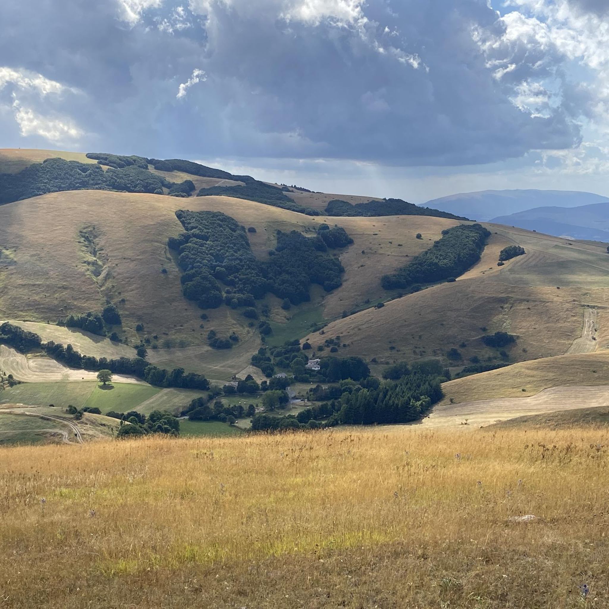
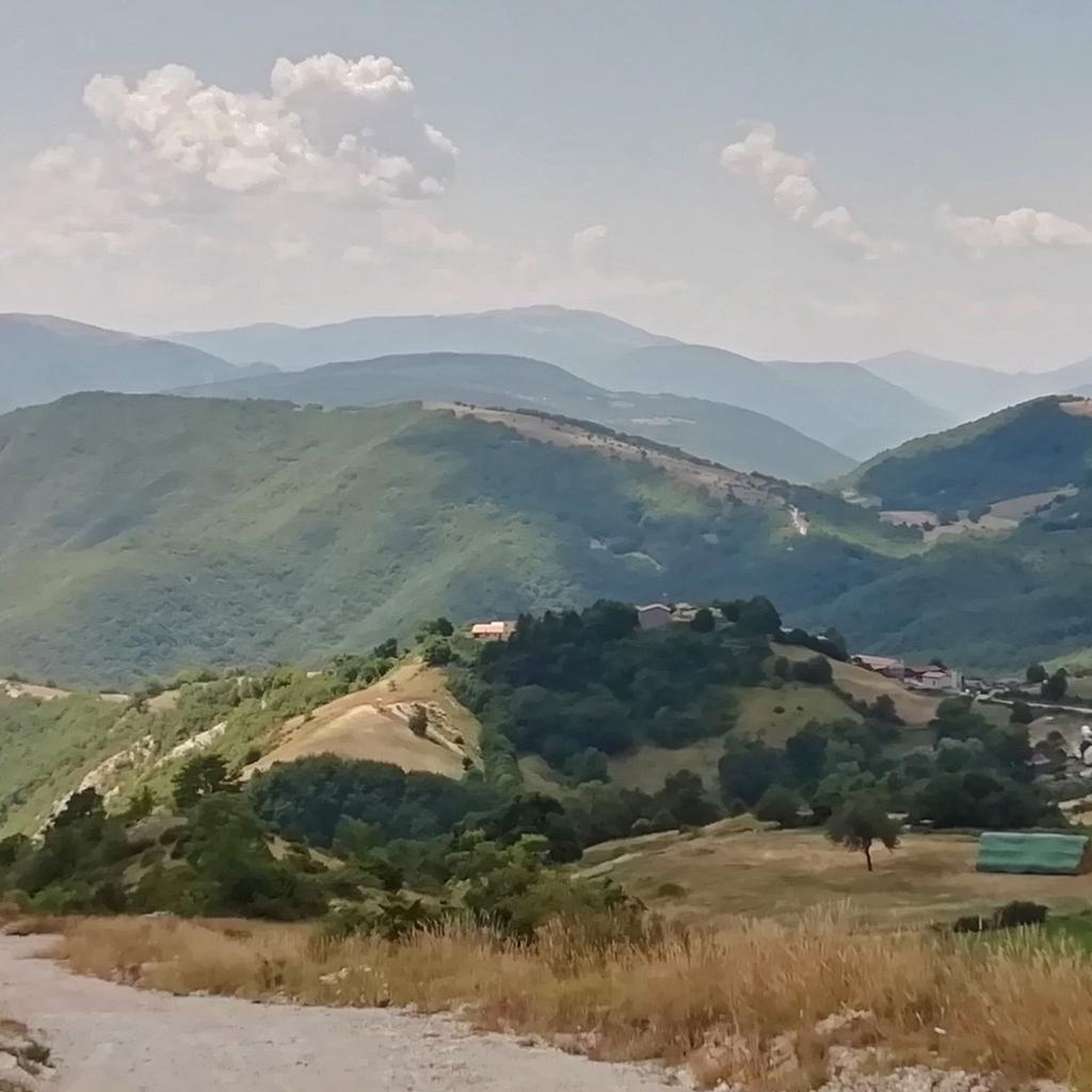
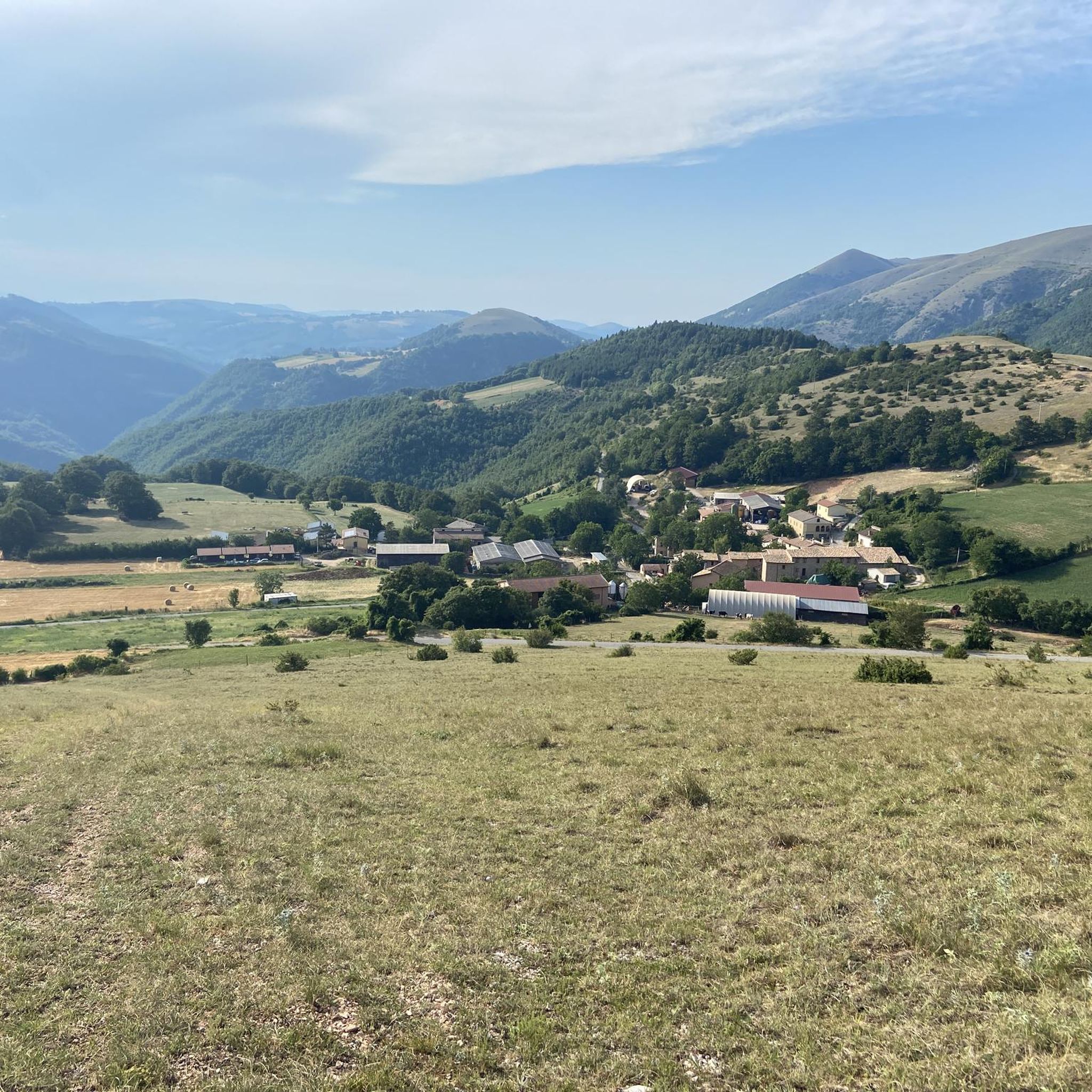
Road cycling around Montagna di Torricchio offers routes through a Central Apennine landscape, characterized by deciduous mountain forests, dry grasslands, and varied elevations from 820 to 1491 meters. This natural reserve, located in Italy's Marche region, provides a backdrop of rolling hills and panoramic views. The area is part of the broader Sibillini Mountains, known for its provincial roads and asphalt sections suitable for road cycling.
Best road cycling routes around Montagna di Torricchio
- The most popular road cycling route…
Last updated: July 8, 2026
9
riders
Hard road ride. Very good fitness required. Mostly well-paved surfaces and easy to ride.
6
riders
35.3km
02:30
780m
780m
Moderate road ride. Good fitness required. Some segments of this route may be unpaved and difficult to ride.

Sign up for free
5
riders
92.1km
04:58
1,650m
1,650m
Hard road ride. Very good fitness required. Some segments of this route may be unpaved and difficult to ride.
24
riders
49.4km
02:50
1,130m
1,130m
Hard road ride. Very good fitness required. Mostly well-paved surfaces and easy to ride.
17
riders
109km
06:19
2,650m
2,650m
Hard road ride. Very good fitness required. Mostly well-paved surfaces and easy to ride.
Get access to more routes and recommendations from other explorers.
Sign up for free
Already have an account?
Our route recommendations are based on thousands of hikes, rides, and runs completed by other people on komoot.
Start today with a free account
Your next adventure awaits.
Login or Signup
Tips from the Community

The climb is long with regular gradients.
15
0

This is basically where the climb to Lake Fiastra begins. Shortly after this fork, I chose to turn left, about 500 meters/1 km, because it allows us to reach the lake from a side that allows us to enjoy almost the entire basin from a different perspective than the tourist one. The climb is challenging, but we would be rewarded with the beautiful view that awaits us above the lake.
2
0

Maddalena Pass
0
0

Panoramic, one of the most beautiful roads in the region
1
0
It is one of the most panoramic points of the Sibillini, on the top of a vast plateau that preserves the most beautiful Renaissance sanctuary in the Region. Looking from the pass towards Macereto, the waters that flow to the right end up in the Adriatic, those to the left in the Nera and then in the Tiber and then in the distant Tyrrhenian Sea.
0
0

Along the trail there are "pools" or wells formed naturally by erosion of the small waterfalls above. To protect them, bathing is prohibited... although it is very inviting I must say. Easy and flat trail. Well maintained place.
1
0

Simple and pleasant path that allows you to walk along the stream/river. There is also a short but relaxing sensory path
1
0

Beautiful panoramic view of the lake and easily accessible
0
0
Frequently Asked Questions
What kind of terrain can I expect when road cycling around Montagna di Torricchio?
The terrain around Montagna di Torricchio features a typical Central Apennine landscape, with elevations ranging from 820 to 1491 meters. You'll encounter deciduous mountain forests, dry grasslands, and rolling hills, offering a mix of winding roads and challenging climbs, particularly as you venture into the broader Sibillini Mountains National Park. The region is known for its provincial roads and asphalt sections, providing breathtaking views through olive groves and past medieval villages.
Are there road cycling routes suitable for beginners or those looking for an easier ride?
Yes, while the region is known for its challenging climbs, there are options for various ability levels. Out of the 26 available routes, 1 is classified as easy, offering a gentler introduction to road cycling in the area. These routes provide a chance to enjoy the scenic beauty without overly strenuous climbs.
What are some of the more challenging road cycling routes in the Montagna di Torricchio area?
For experienced cyclists seeking a challenge, the region offers several difficult routes. For example, the Visso – Sanctuary of Macereto loop from Visso is a difficult 30.7-mile (49.4 km) path with significant elevation gain. Another demanding option is the Nera Gorges – Hiking Trail Signpost loop from Visso, covering 32.0 miles (51.5 km) through the Nera Gorges with substantial climbing.
What landmarks or scenic viewpoints can I expect to see along the road cycling routes?
Road cycling routes in the Montagna di Torricchio area offer numerous scenic viewpoints across the Apennine landscape. You'll pass through picturesque natural settings, including deciduous mountain forests and vast grasslands. Routes like the Church of Cupi – Sanctuary of Macereto loop from Ristorante Vecchio Mulino provide winding roads with panoramic vistas. The broader region also features medieval villages, monasteries, and castles, offering cultural points of interest.
What is the best time of year for road cycling around Montagna di Torricchio?
The Marche Apennines, including the Montagna di Torricchio area, are generally best for road cycling during spring and autumn. These seasons offer pleasant temperatures and vibrant landscapes, with less extreme heat than summer and before the colder conditions of winter. The region's winding roads through vineyards and olive groves are particularly beautiful during these times.
Are there any family-friendly road cycling options in the Montagna di Torricchio region?
While many routes in the immediate Montagna di Torricchio area feature challenging climbs, the broader Marche region offers a variety of cycling experiences. For family-friendly options, it's advisable to look for routes with less elevation gain and lower traffic, often found in the hilly hinterland rather than the most mountainous sections. Always check the route's difficulty and elevation profile before setting out with family.
Can I bring my dog on road cycling routes in Italy, specifically around Montagna di Torricchio?
Generally, dogs are permitted in many outdoor areas in Italy, but specific regulations can vary. When road cycling, ensure your dog is well-behaved, on a leash if not in a carrier, and that you adhere to local rules, especially within protected natural reserves like Montagna di Torricchio. Always carry water for your dog and be mindful of traffic and other cyclists. It's best to check with local authorities or park information for any specific restrictions.
Where can I find accommodation, cafes, or pubs suitable for cyclists near Montagna di Torricchio?
The towns and villages surrounding Montagna di Torricchio, such as Visso and Pieve Torina, offer various amenities. You can find local restaurants, cafes, and accommodation options that cater to visitors. Many establishments in the Marche region are accustomed to outdoor enthusiasts, including cyclists. It's recommended to check local listings or online travel sites for specific cyclist-friendly services.
How many road cycling routes are available in the Montagna di Torricchio area?
There are over 25 road cycling routes available around Montagna di Torricchio, offering a diverse range of experiences. These routes cater to different skill levels, from easy rides to challenging climbs, allowing cyclists to explore the varied landscapes of the Central Apennines.
What do other road cyclists enjoy most about cycling in Montagna di Torricchio?
The road cycling routes around Montagna di Torricchio are highly rated by the komoot community, with an average score of 4.5 stars from over 13 reviews. Cyclists often praise the stunning Central Apennine landscapes, the challenging climbs, and the sense of immersion in nature. The varied terrain, from deciduous forests to dry grasslands, and the panoramic views are frequently highlighted as key attractions.
Are there any loop routes for road cycling around Montagna di Torricchio?
Yes, many of the road cycling routes in the area are designed as loops, allowing you to start and finish at the same point. For instance, the Church of Cupi – Sanctuary of Macereto loop from Ristorante Vecchio Mulino is a popular moderate loop, and the Nera Gorges – Norcia loop from Visso offers a longer, more challenging circular ride.
What are the typical distances for road cycling routes in this region?
The road cycling routes around Montagna di Torricchio vary significantly in length. You can find routes ranging from shorter, moderate rides like the Church of Cupi – Sanctuary of Macereto loop at approximately 26 miles (41.9 km), to much longer and more challenging expeditions such as the Nera Gorges – Norcia loop from Visso, which spans about 58 miles (93.7 km).
Most popular routes around Montagna di Torricchio

Get inspired with the komoot mobile app


Explore more
Browse the best Road cycling routes in other regions.
