The best walks and hikes around Montagna di Torricchio
4.4
(295)
1,620
hikers
63
hikes
Hiking around Montagna di Torricchio offers a diverse range of trails within a mountainous landscape. The region is characterized by its varied terrain, including forested slopes, open ridges, and valleys. Hikers can expect elevation changes and natural surroundings. This guide features more than 50 hiking trails, catering to various preferences and skill levels.
Best hiking trails around Montagna di Torricchio
- The most popular hiking route is Casale di Croce Refuge loop from Fematre, a 5.1 miles (8.3 km) trail…
Last updated: July 8, 2026
5.0
(1)
4
hikers
15.0km
05:28
910m
910m
Hard hike. Very good fitness required. Easily-accessible paths. Suitable for all skill levels.
4.0
(1)
7
hikers
11.3km
03:41
520m
520m
Moderate hike. Good fitness required. Easily-accessible paths. Suitable for all skill levels.

Sign up for free
4.7
(3)
11
hikers
8.27km
02:41
360m
360m
Moderate hike. Good fitness required. Easily-accessible paths. Suitable for all skill levels.
4.7
(6)
36
hikers
9.88km
03:17
470m
470m
Moderate hike. Good fitness required. Easily-accessible paths. Suitable for all skill levels.
4
hikers
11.8km
04:35
860m
860m
Moderate hike. Good fitness required. Easily-accessible paths. Suitable for all skill levels.
Get access to more routes and recommendations from other explorers.
Sign up for free
Already have an account?
Our route recommendations are based on thousands of hikes, rides, and runs completed by other people on komoot.
Start today with a free account
Your next adventure awaits.
Login or Signup
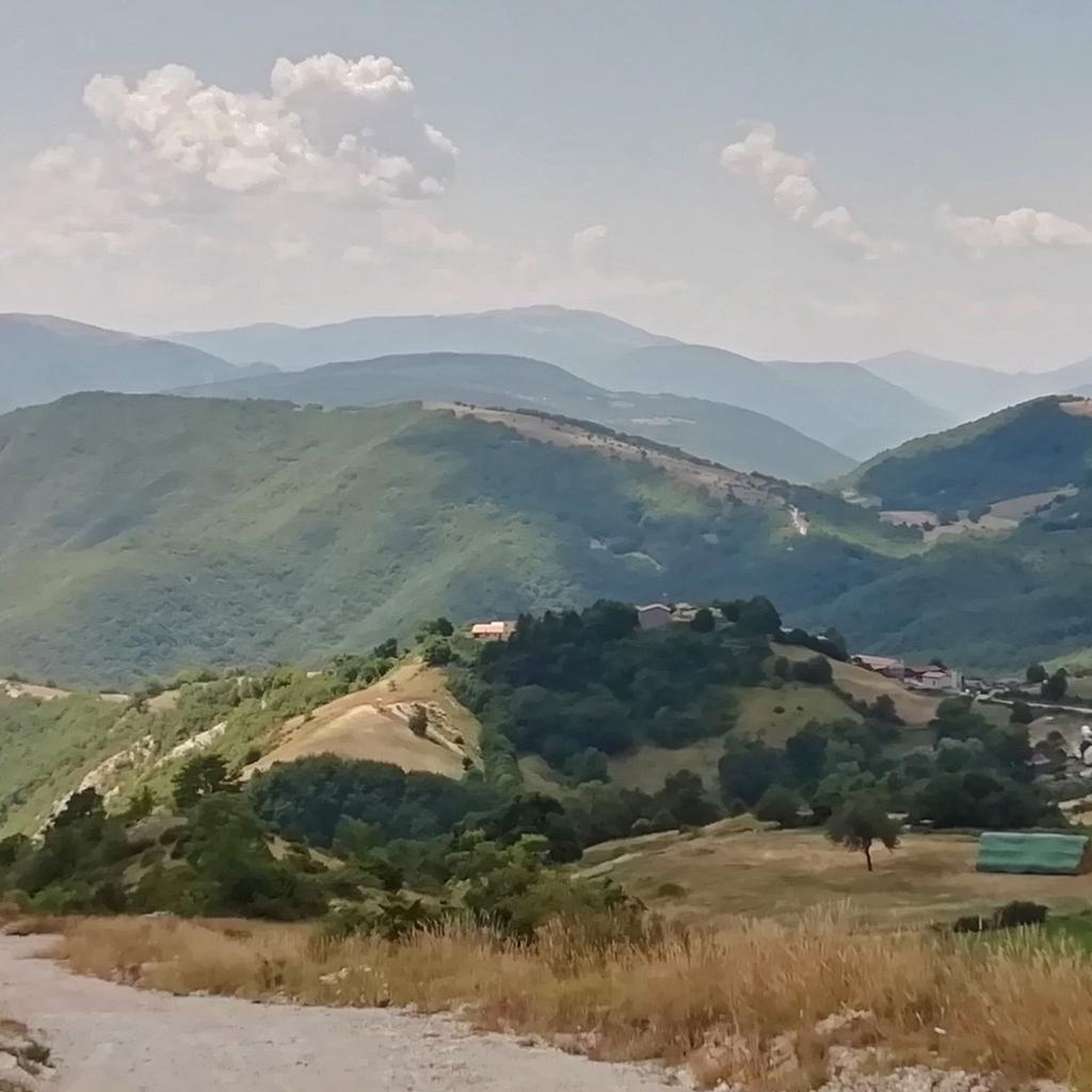
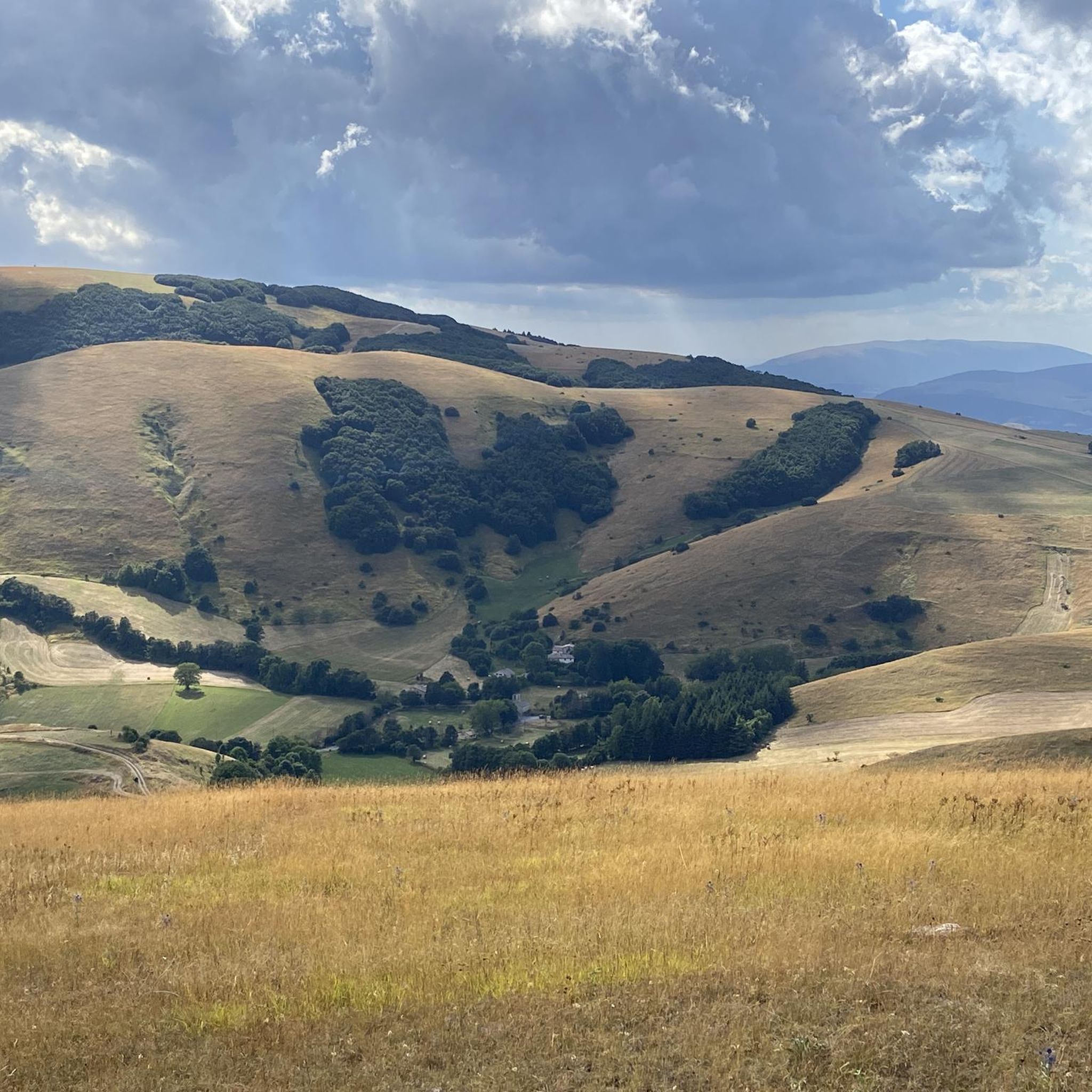
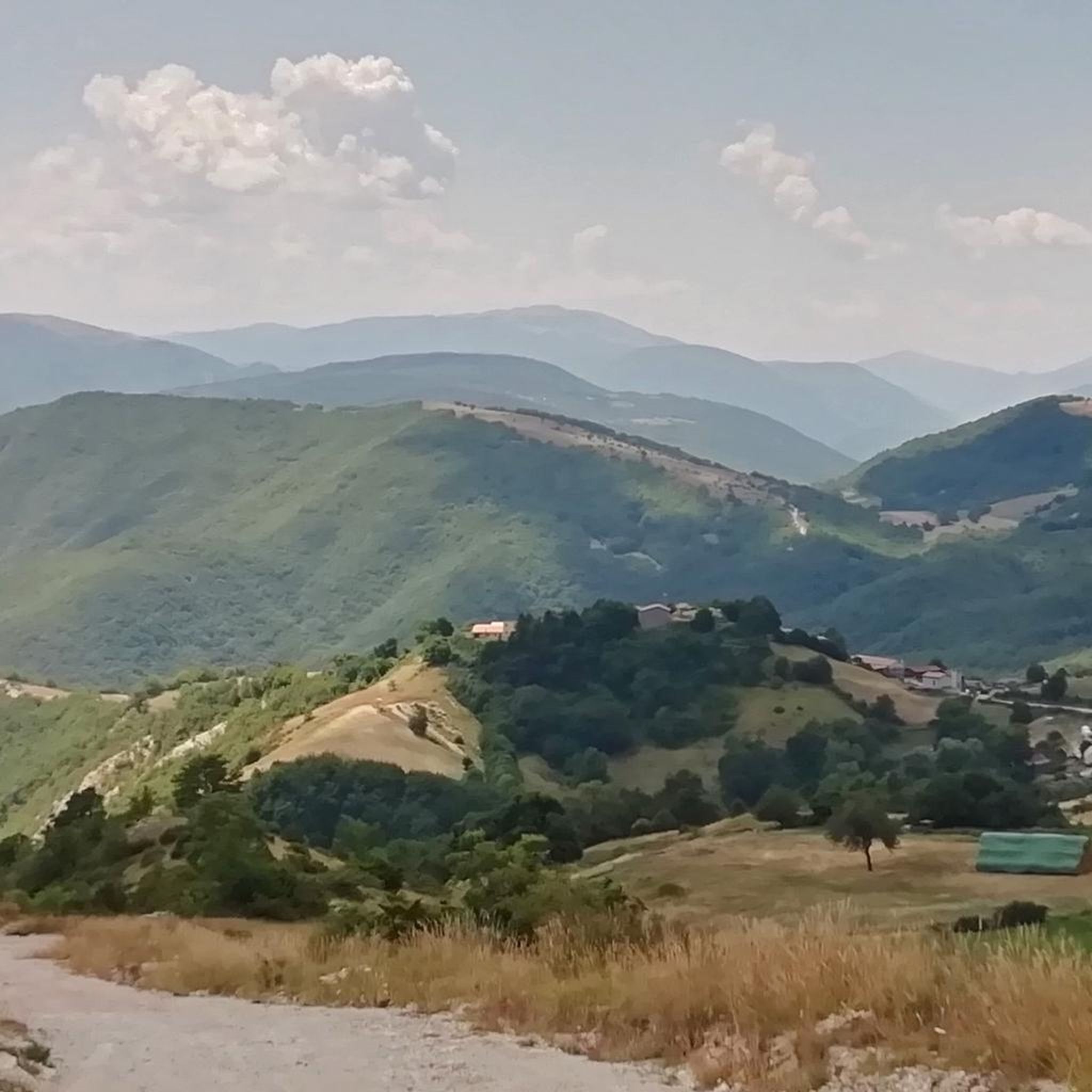
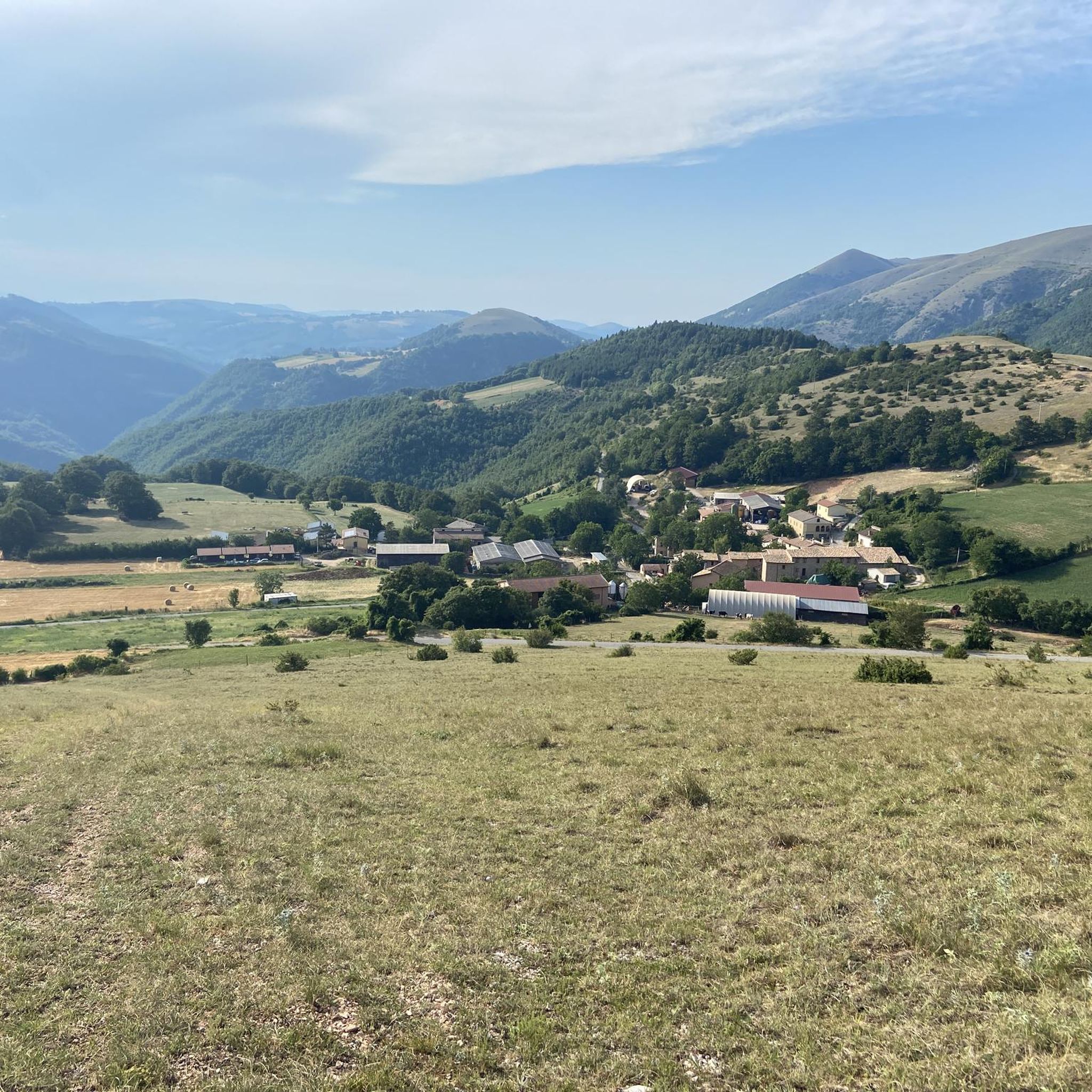
Tips from the Community

It is not possible to access it either on foot or by bike. It is a strict nature reserve open only by permit for nature studies.
0
0

From Pantaneto, in the municipality of Monte Cavallo. A stopping point on the Sentiero Italia (Visso-Pantaneto = Pantaneto-Colfiorito). Follow the Sentiero Italia towards Colfiorito or Visso. Following the various signs, you climb up to Monte Cavallo.
0
0
There are several trails in the area that can be combined. Many are described and tracked with GPX files on both Komoot and Wikiloc-Outdooractive. A paper trail map is also available.
0
0

A welcome stop at Corrado's
0
0
Waterfall not always active...
0
0

Monte Torricchio is a mountain in the Umbria-Marche Apennines that exceeds 1400 meters in height. It is located within the Montagna di Torricchio Nature Reserve, which hosts a rich biodiversity of flora and fauna, with endemic and rare species.
1
0
Casale Piscini is a refuge located in the Monte Torricchio Nature Reserve, at an altitude of 1126 metres. It was originally built as a shelter for shepherds during the summer pasture period, from 1970 onwards it was used by the University of Camerino as a base for research and management of the reserve.
1
0
Frequently Asked Questions
How many hiking trails are available in Montagna di Torricchio?
There are over 50 hiking trails in Montagna di Torricchio, catering to various preferences and skill levels, from easy strolls to more challenging ascents.
Are there easy hiking options suitable for beginners or families?
Yes, Montagna di Torricchio offers 6 easy trails. These routes typically feature less elevation gain and shorter distances, making them ideal for beginners or families looking for a relaxed outdoor experience. While specific easy routes aren't detailed here, you can find them within the full guide.
What kind of terrain can I expect on the hiking trails?
The region is characterized by diverse mountainous terrain, including forested slopes, open ridges, and valleys. Hikers can expect elevation changes throughout the network, offering varied natural surroundings.
Are there any circular hiking routes in Montagna di Torricchio?
Many trails in Montagna di Torricchio are designed as loops, allowing you to start and end at the same point. Examples include the Casale di Croce Refuge loop from Fematre, the Pantaneto (Mount Cavallo) – Pantaneto loop from Monte Cavallo, and the Cascine di Monte Cavallo loop from Monte Cavallo.
What is the best season for hiking in Montagna di Torricchio?
The best seasons for hiking in Montagna di Torricchio are generally spring, summer, and early autumn. During these months, the weather is typically more stable, and the trails are clear of snow, offering pleasant conditions for exploration. Always check local weather forecasts before heading out.
Are the trails in Montagna di Torricchio suitable for dogs?
Many trails in mountainous regions like Montagna di Torricchio are dog-friendly, but it's always recommended to keep dogs on a leash, especially in areas with wildlife or livestock. Be mindful of trail conditions and ensure your dog is accustomed to varied terrain and elevation changes.
Are there any challenging or advanced hiking routes?
Yes, for experienced hikers, there are 9 difficult routes available. These trails typically involve significant elevation gains, longer distances, and potentially more rugged terrain, offering a rewarding challenge. The full guide provides details on these more advanced options.
What do other hikers say about the trails in Montagna di Torricchio?
The trails in Montagna di Torricchio are highly rated by the komoot community, with an average score of 4.4 stars from over 240 reviews. Hikers often praise the diverse landscapes, the sense of natural immersion, and the well-maintained paths that lead through forested areas and open ridges.
Is there public transport access to the trailheads?
Public transport options directly to all trailheads in a mountainous region like Montagna di Torricchio can be limited. It's advisable to research specific routes and their starting points to determine the best way to access them, often requiring a combination of public transport and a short walk or taxi.
Where can I find parking for the hikes?
Parking availability varies by trailhead. Many popular starting points, especially for routes like those near Monte Cavallo or Fematre, typically have designated parking areas. It's recommended to check the specific tour details on komoot for parking information related to your chosen route.
Are there any viewpoints or scenic spots along the trails?
Given the mountainous landscape and open ridges, many trails in Montagna di Torricchio offer panoramic viewpoints. Hikers can expect scenic vistas of the surrounding valleys and peaks, particularly on routes that traverse higher elevations or open sections of the ridge.
What should I bring for a hike in Montagna di Torricchio?
For hiking in Montagna di Torricchio, essential items include sturdy hiking boots, appropriate layers of clothing for changing mountain weather, water, snacks, a map or GPS device, and sun protection. For longer or more challenging routes, consider a first-aid kit and trekking poles.
Most popular routes around Montagna di Torricchio

Get inspired with the komoot mobile app


Explore more
Browse the best Hikes in other regions.
