The best running trails around Alfarnatejo
4.2
(7)
240
runners
44
runs
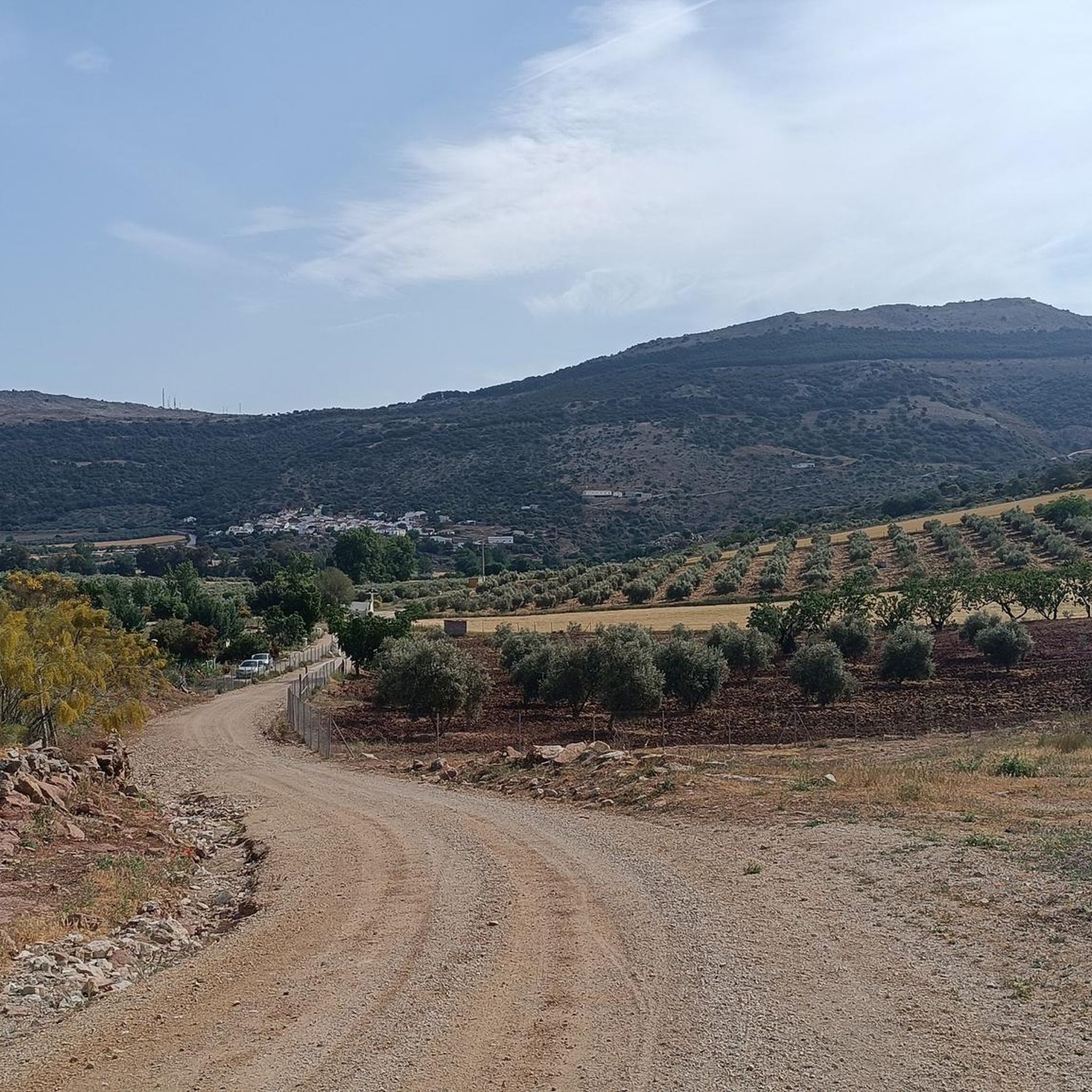
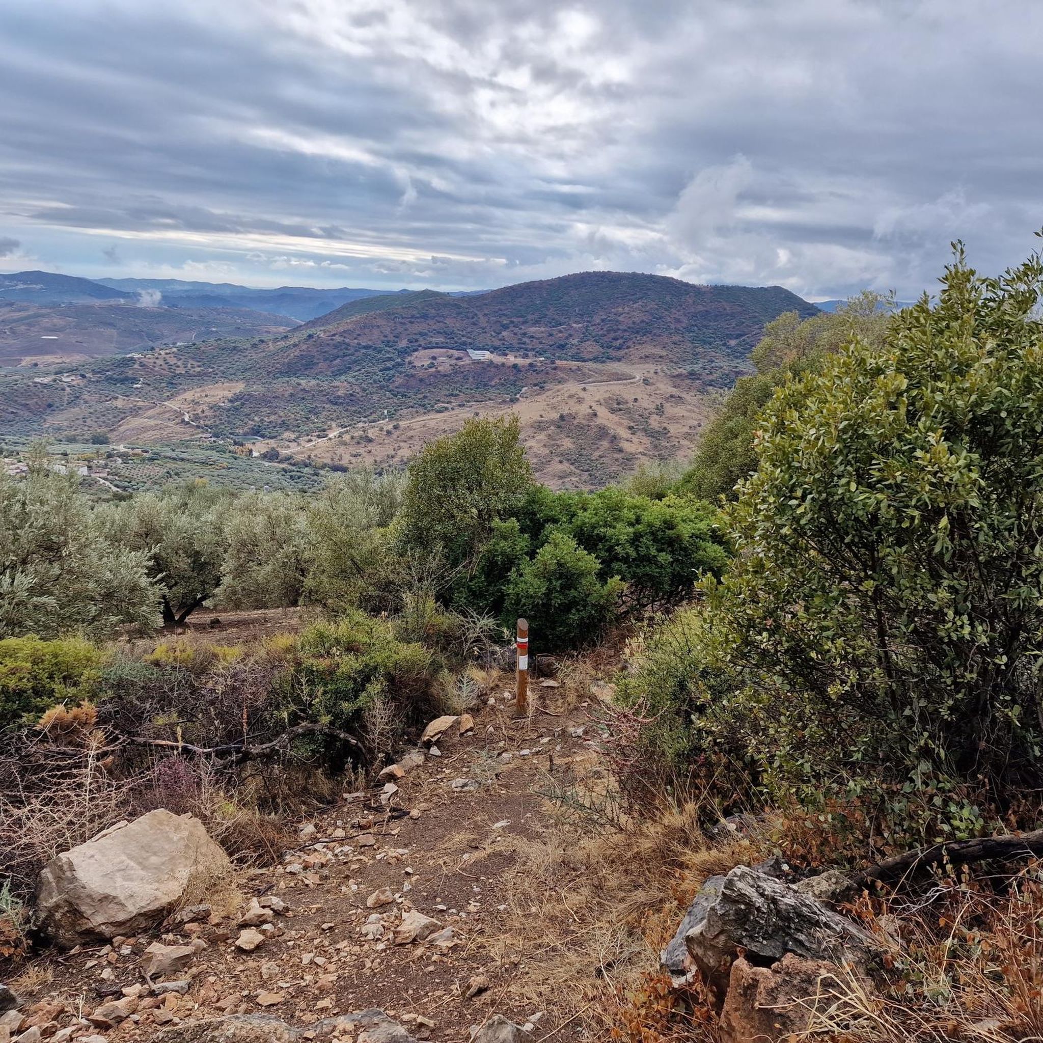
Jogging routes around Alfarnatejo traverse a rugged, mountainous landscape in the Axarquía region of Málaga, Spain. The area features impressive peaks, including Chamizo and Gallo, which provide varied inclines and panoramic views. Gorges and ravines, such as Tajos del Alto del Fraile, create visually distinct paths, while the Sabar River winds through the municipality, offering picturesque routes along its banks. Beyond the peaks, extensive olive groves and green fields provide gentler, scenic running options.
Best jogging routes around Alfarnatejo
- The…
Last updated: June 26, 2026
1
runners
5.82km
00:43
210m
210m
Moderate run. Good fitness required. Mostly accessible paths. Some sure footedness required.
6
runners
12.3km
01:20
230m
230m
Moderate run. Good fitness required. Mostly paved surfaces. Suitable for all skill levels.

Sign up for free
6
runners
10.9km
01:17
350m
360m
Hard run. Very good fitness required. Mostly paved surfaces. Suitable for all skill levels.
5
runners
13.5km
01:32
390m
390m
Hard run. Very good fitness required. Mostly paved surfaces. Suitable for all skill levels.
4
runners
13.4km
01:32
390m
390m
Hard run. Very good fitness required. Mostly paved surfaces. Suitable for all skill levels.
Get access to more routes and recommendations from other explorers.
Sign up for free
Already have an account?
Our route recommendations are based on thousands of hikes, rides, and runs completed by other people on komoot.
Start today with a free account
Your next adventure awaits.
Login or Signup

Other adventures around Alfarnatejo

Tips from the Community

This ethnographic museum has a continuous exhibition of utensils and tools used in the past. One of the great attractions is the oil mill, among other elements. In addition, there are also temporary exhibitions of contemporary painters. It can be visited from Thursday to Sunday throughout the year.
1
0

Within the Bosque de Las Morillas is this curious rock formation with some caves that make it even more striking to look at.
1
0
From Cerro Olmedo there are beautiful views of the Vilo peak and the landscape that surrounds it. The circular route through the Bosque de las Morillas is an entertaining itinerary without difficulty.
1
0
Curious rock formation with some caves that make it even more striking to look at.
2
0
These ruins located on the Cerro Olmo plateau offer an ideal place to take a break on your route and enjoy the beautiful scenery.
0
1

These are two of the Sábar pits that form part of the Central Malagueño Limestone Arch. The Doña Ana pit is 1,202 meters high, and the Gomer pit is 1,129 meters high. Both formations are separated from each other by a depression called Tallón. The third and highest of the pits is that of Fraile, which at 1,229 meters is hidden behind these two.
1
0
Frequently Asked Questions
How many running routes are available in Alfarnatejo?
Alfarnatejo offers a diverse selection of over 30 running routes, catering to various fitness levels. These include 1 easy route, 11 moderate routes, and 18 challenging routes, ensuring there's a path for every runner.
What kind of terrain can I expect on running trails around Alfarnatejo?
The terrain around Alfarnatejo is incredibly varied, earning it the nickname 'The Pyrenees of the South'. You'll find rugged mountainous landscapes with impressive peaks like Chamizo and Gallo, dramatic gorges and ravines such as Tajos del Alto del Fraile, and picturesque routes along the Sabar River. For a gentler experience, there are also extensive olive groves and lush green fields.
Are there routes suitable for beginners or those looking for an easy run?
Yes, while many routes offer a challenge, there is at least one easy running route available. Additionally, some moderate paths, like the Forest of Las Morillas – circular from Alfarnate (PR-A 268), provide a less strenuous option through scenic forest landscapes.
What do other runners say about the trails in Alfarnatejo?
The running routes in Alfarnatejo are highly regarded by the komoot community, with an average score of 3.7 stars from 5 reviews. Over 199 runners have explored the area using komoot, often praising the varied terrain, from challenging mountain trails to serene olive groves.
Are there any circular running routes in the area?
Yes, Alfarnatejo features several circular running routes. A popular choice is the Forest of Las Morillas – circular from Alfarnate (PR-A 268), which offers a moderate 3.6-mile loop through a forest landscape. Another option is the Moorish Archway of Alfarnate loop from Alfarnate, a 7.6-mile trail through varied scenery.
What are some notable landmarks or viewpoints I can see while running?
The region is rich in natural beauty and historical points of interest. You can encounter dramatic gorges like the Tajos del Alto del Fraile, Doña Ana, and Tajo de Gomer. For stunning views, consider routes near mountain passes such as Puerto del Sol (1085 m) or viewpoints like Boquete de Zafarraya Viewpoint. The area also features an ancient Al-Andalus bridge over the Sabar River and the Fuente del Conejo (Rabbit Fountain.
Are there any challenging running trails for experienced runners?
Absolutely. Alfarnatejo is known for its rugged, mountainous terrain, offering 18 difficult routes. A prime example is the Sierra de San Jorge Trail (PR-A 353), an 8.1-mile route with significant elevation gain, perfect for those seeking a demanding run.
Can I find routes that offer panoramic views?
Yes, the mountainous surroundings of Alfarnatejo, with peaks like Chamizo and Vilo, provide numerous opportunities for panoramic views. Many trails ascend to higher elevations, rewarding runners with breathtaking vistas of the Axarquía region. Look for routes that pass through mountain passes or near summits like Tajo Gomer Summit.
Are there running paths that follow rivers or through green areas?
Yes, the graceful Sabar River winds through the municipality, offering picturesque routes along its banks. Beyond the rugged peaks, you'll also find extensive olive groves and lush green fields, providing gentler, scenic options for a more relaxed run amidst nature.
What is the best time of year for running in Alfarnatejo?
While the guide doesn't specify, the region's Mediterranean climate suggests that spring and autumn would be ideal for running, offering milder temperatures. Summer mornings and evenings could also be pleasant, while winter might bring cooler, crisp conditions, especially at higher elevations.
Are there any long-distance running paths that pass through Alfarnatejo?
Yes, the renowned Great Malaga Path (GR 249) passes through the Alfarnatejo area. This well-defined route offers opportunities for longer runs and connects to a broader network of trails for those interested in extended adventures.
Are there any routes that combine running with historical exploration?
Certainly. The area boasts numerous caves and shelters containing Paleolithic-era pictorial remains, adding a fascinating historical dimension to your run. Additionally, the ancient Al-Andalus bridge over the Sabar River and the nearby Fuente del Conejo offer charming historical points of interest along outdoor excursions.
Most popular attractions around Alfarnatejo

Get inspired with the komoot mobile app


Explore more
Browse the best Running Trails & Routes in other regions.
